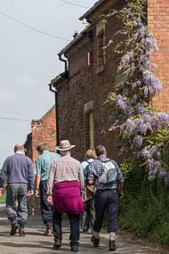
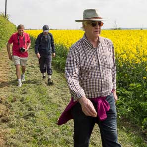
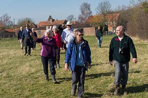
Tythby Tour (4-5-14)
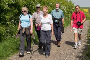
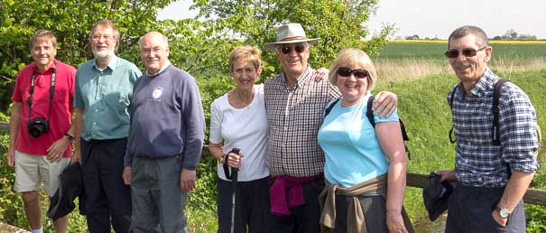
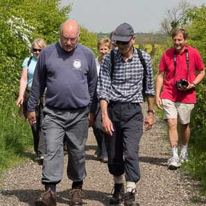
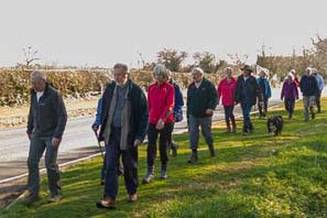
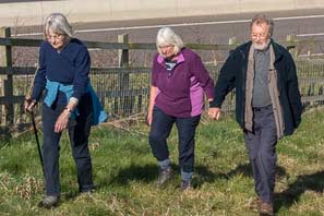
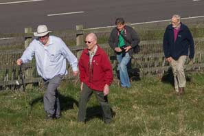
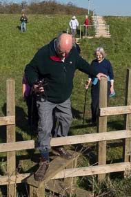
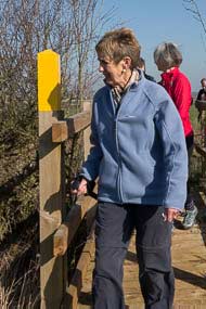
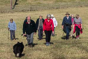
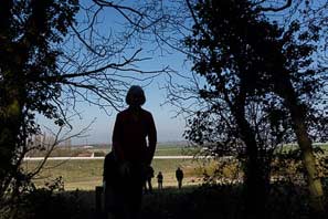
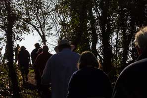
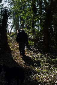
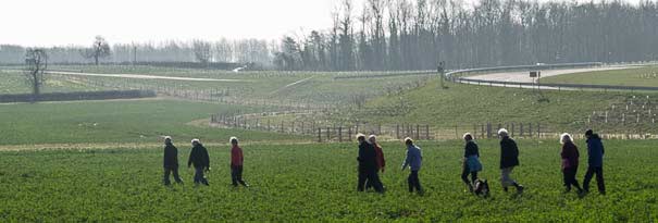
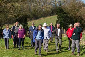
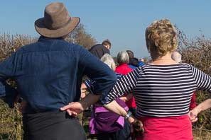
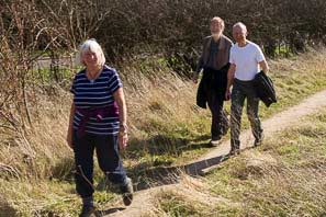
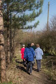
In spite of it being the May Bank Holiday weekend, eight members of the Cropwell Bishop Walking Group found time to spend two hours exploring some of the paths and ways that are abundant around our village.
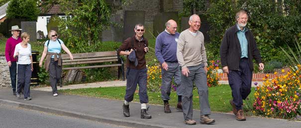
You can tell that summer days are just around the corner when walkers are in t-shirts and shorts—and that is how it was today.
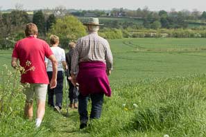
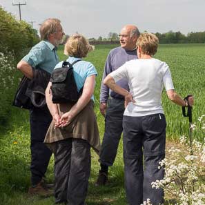
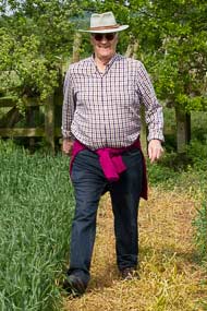
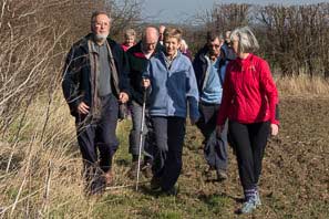
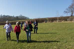
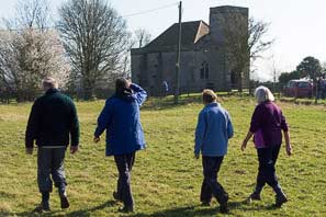
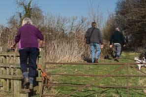
 We headed East from the village and after passing through several fields, reached the quiet road that runs from Tythby to the Langar Road. Once there, we turned North to Tythby where, after passing its church, we continued straight on along the path that hugs hedgerows until we hit a farm track.
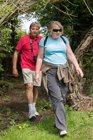
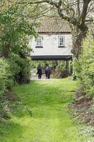
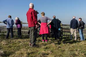
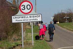
Then we marched West to Cropwell Butler where we walked down a house driveway and then into hidden fields and tracks in the middle of the village. Finally we walked the bridle path linking the two Cropwells and back home by mid-day.
A lovely spring walk in fine weather with lots of time to natter along the way.
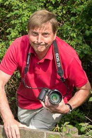
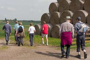
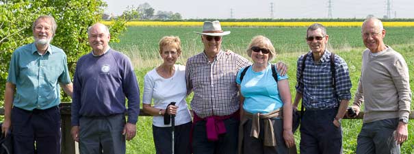
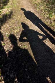
Photos by Tony Jarrow and Lance Thorpe
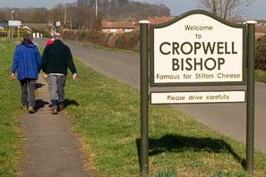
New Circular Walk from Cropwell Bishop (30-4-14)
We are most fortunate in having a number of public footpaths available around Cropwell Bishop and many of us have enjoyed exploring them either individually or appreciated the Sunday morning social group walks organised from time to time by Tony Jarrow (amjarrow@mac.com)
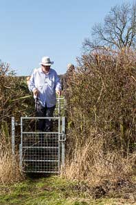
One unexpected benefit from the A46 reconstruction has been the provision of new footpaths (Public Rights of Way) running along the Eastern edge of the new highway either side of Colston Road where it crosses the A46. These new footpaths link up with existing and revised Rights of Way to make an attractive circular route from Cropwell Bishop.
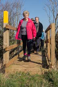
Leaving Cropwell Bishop, pass the Creamery, and use the pavements alongside Nottingham Road as far as the Grantham Canal crossing. From here it is necessary to walk carefully along the roadside verge of Nottingham Rd (The Parish Council is awaiting action by the County to construct this footway), passing the new Creamery building at the top of the hill, to a footpath sign and new footbridge which the County have recently installed over the ditch.
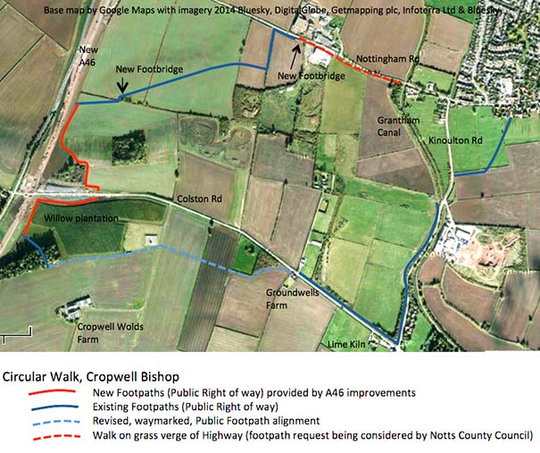
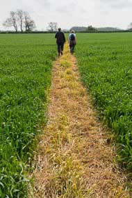
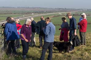
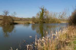
This footpath is waymarked and leads across the fields towards the A46 where it joins the new footpath to Colston Road. There are some really good views across the A46 and Trent Valley.
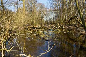
Crossing Colston Road, the new waymarked footpath continues from a stile, running towards the A46, around the willow plantation and joins the existing right of way through the woods (A yellow way-mark post shows the entry into the woods). As you exit the woods turn left on to a revised waymarked footpath heading towards the observatory and reservoir (avoiding Cropwell Wolds Farm). Continue straight ahead on the waymarked path across the fields and enjoy more magnificent views across the Vale of Belvoir. The footpath exits on to Colston Rd at Groundwells Farm.
The circular route back to Cropwell Bishop is completed by crossing Colston Road, joining the footpath running along the North side of Colston Road (stopping at the Lime Kiln public house if thirsty) then continuing on the footpath beside Kinoulton Road back into Cropwell Bishop.
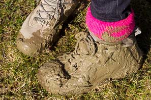
The circuit is about 3.5 miles and takes around 1 ½ hrs to complete. It should be noted that some sections cross ploughed fields and can be muddy. Please refer to maps such as the Ordnance Survey 1:25000 Explorer 260 (Nottingham – Vale of Belvoir) for existing rights of way. However new paths beside the A46 and the revised paths avoiding Cropwell Wolds Farm are not yet on this map.
The Parish Council will continue to work with the County Council, Farmers, Tony Jarrow and the Ramblers Groups to make sure the agreed rights of way are appropriately marked and maintained.
Enjoy your walking and please respect our farmland and countryside.
Cllr John Greenwood
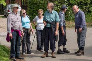
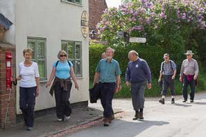
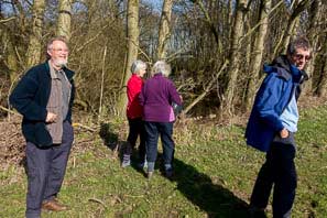
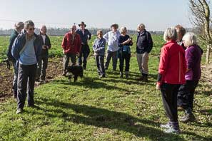
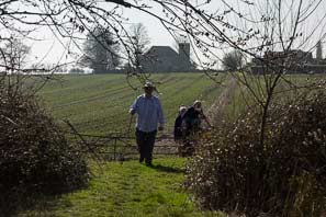
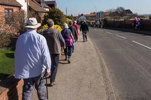
Owthorpe Tour (9-3-14)
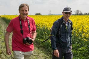
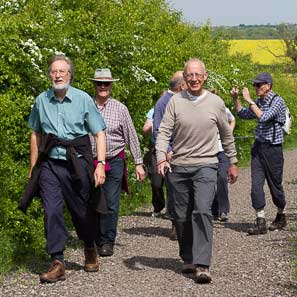
In this morning's glorious spring sunshine, members of Cropwell Bishop Walking Club set off to explore a new circular route to Owthorpe.
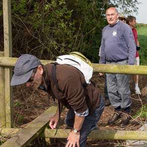
On completion of the new A46 road, Notts County Council set about linking old and new rights-of-way alongside the road. They appear to have done a good job around Cropwell Bishop. New stiles, footbridges, steps and signs make local walks a real pleasure.
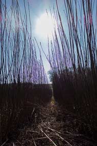
The first half of today's route was up and down hills until we reached one of the highest points in Nottinghamshire, Cropwell Wolds. From there we walked mostly downhill until we were in the little and lovely village of Owthorpe. Then it was across fields to the Lime Kiln and home.
Two and half hours of walking make it one of the longest walks we have undertaken. Nobody was complaining though; the brilliant weather wouldn't allow it.
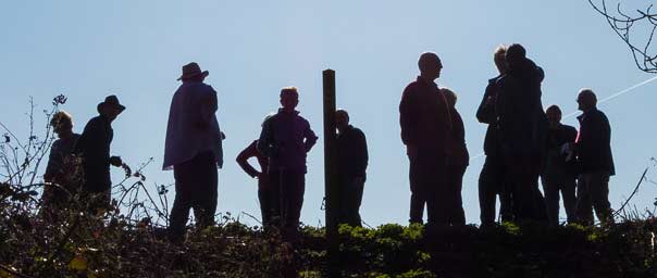
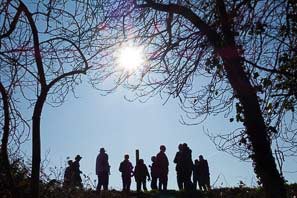
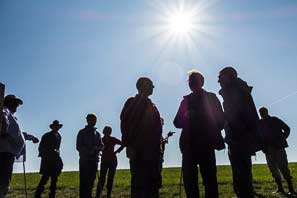
Photos by Tony Jarrow and Lance Thorpe