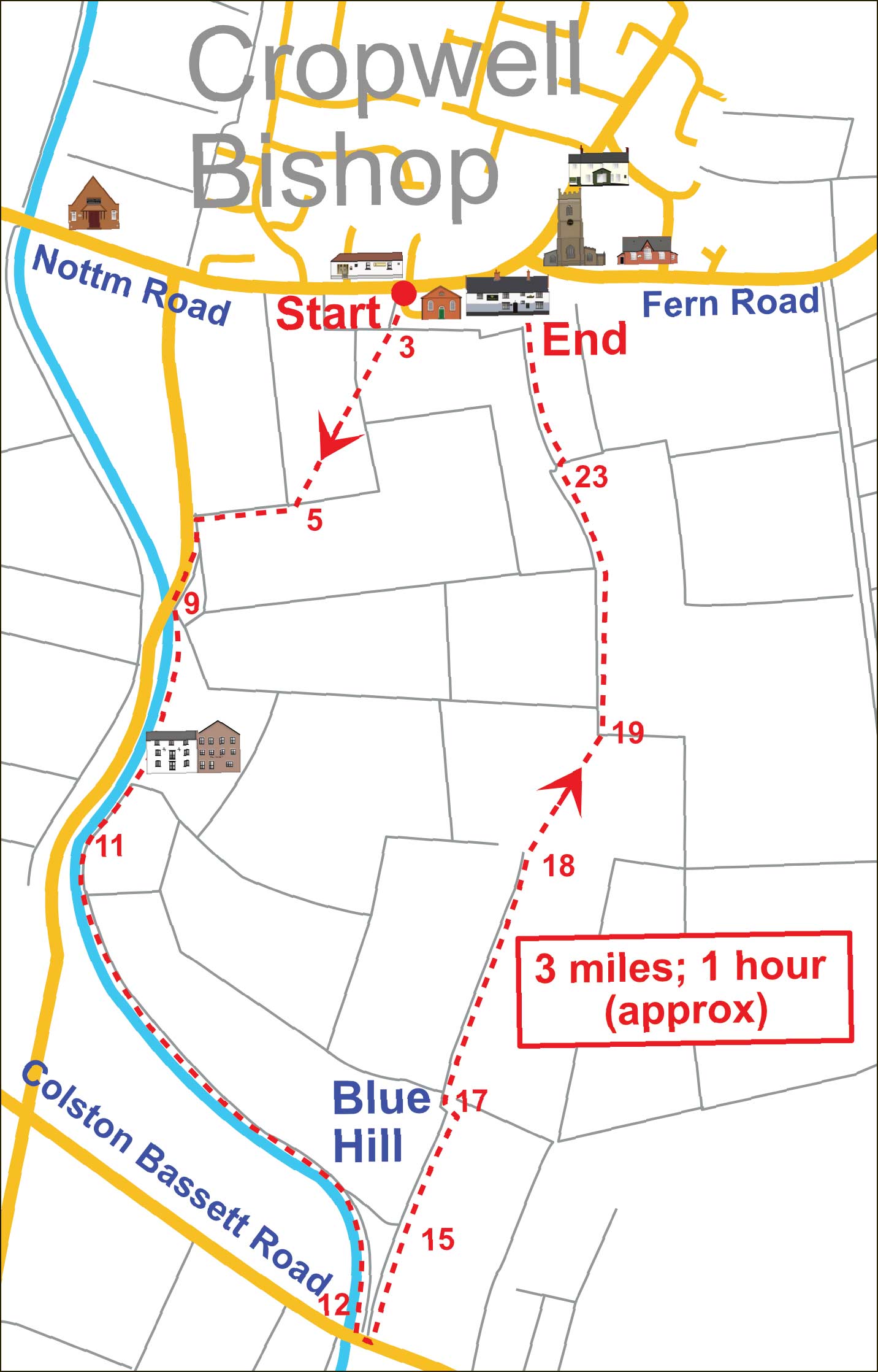
Blue Hill Walk


Blue Hill Walk

Map
3 miles in 1 hour (both approx)

This description of a walk to Blue Hill is the first of a series that will be published online in the months ahead.

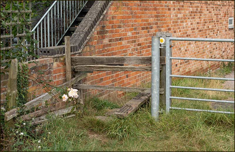
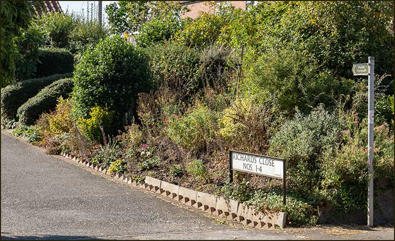
Cropwell Bishop is an old village but still relatively small. Ancient rights-of-way lie all around us and no one living here is more than a few minutes away from them.

The aim of these articles is to give you the confidence to explore your surroundings on foot without fear of trespassing on private land – and without the need for an experienced local walker to accompany you.

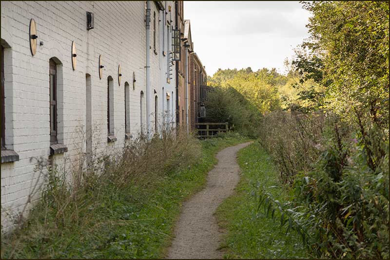
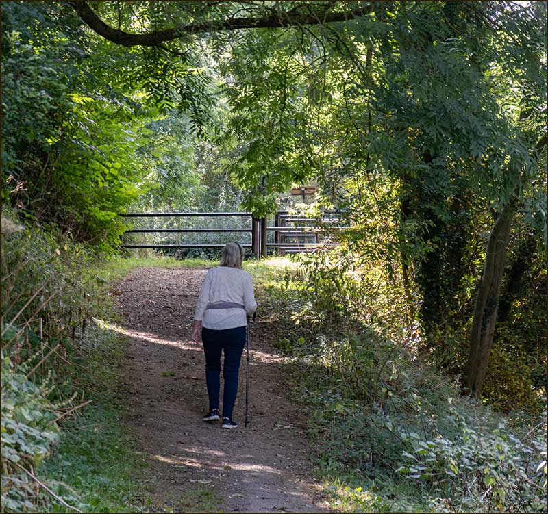
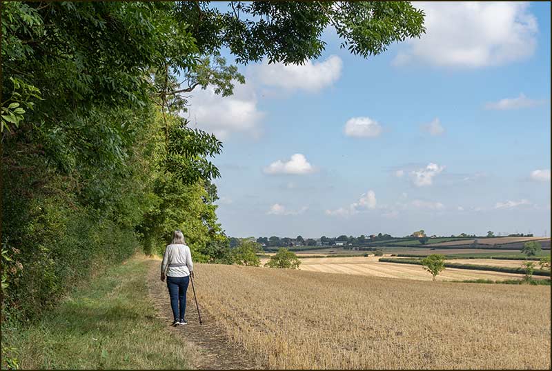
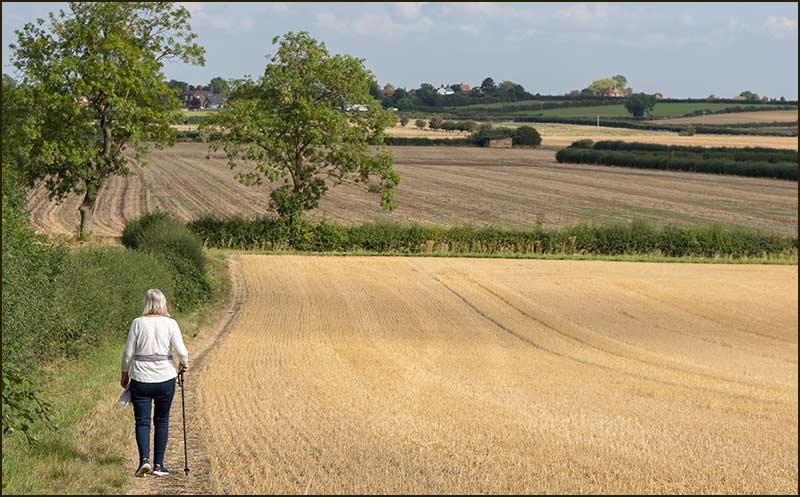
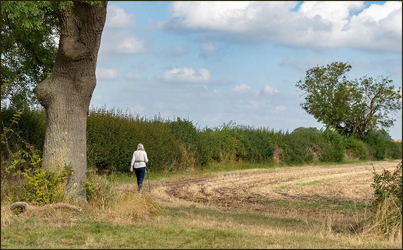
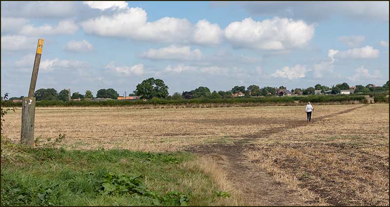
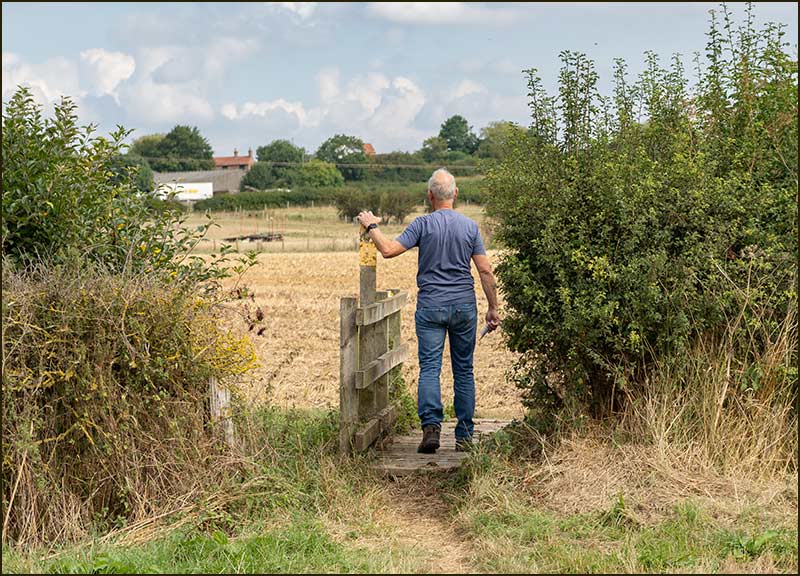
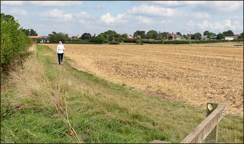
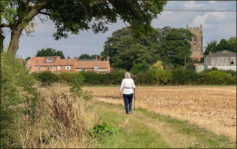
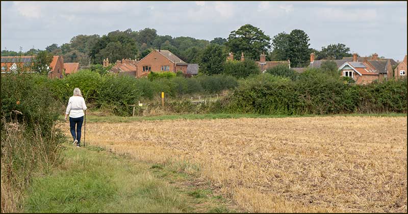
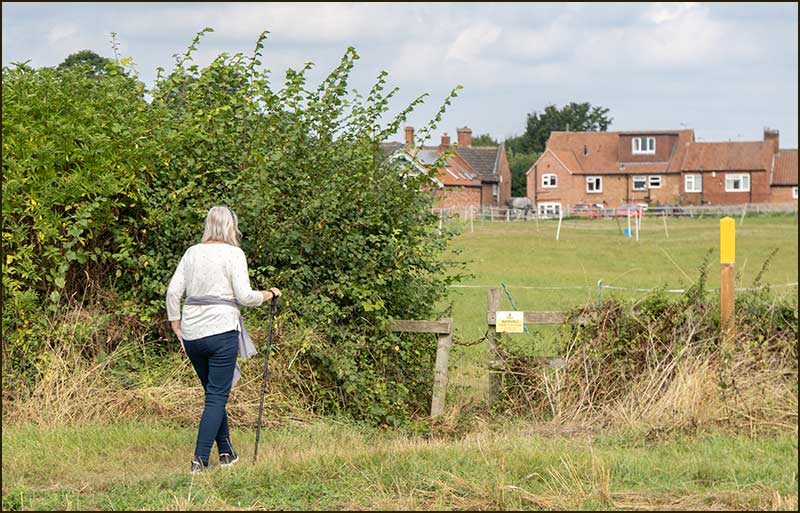
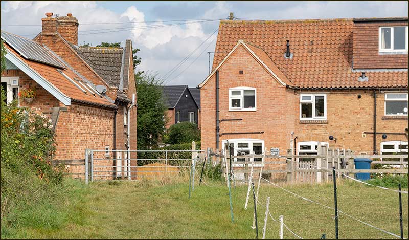
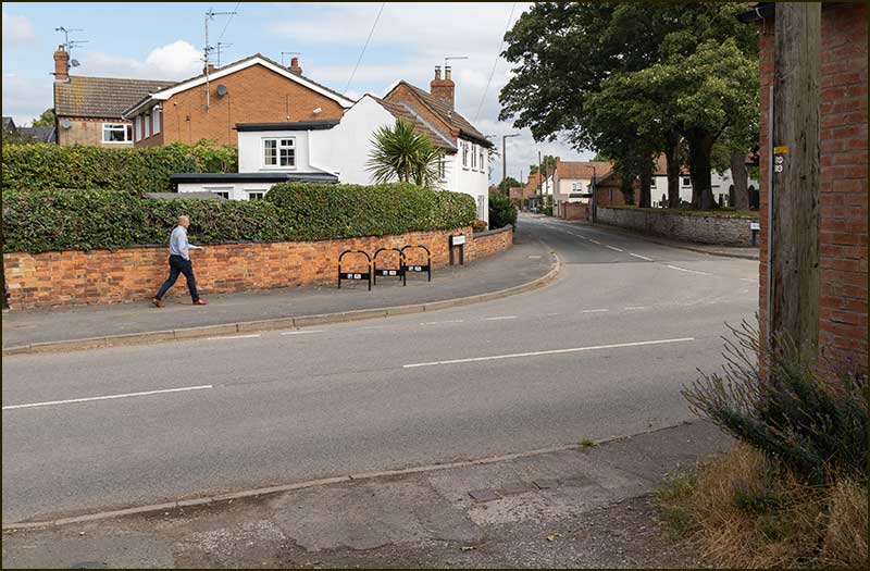
You will be amazed by the variety of views on a short walk. They look even better than the photos below and so different from those through your car window.

These stories are your guide to the wonderful, real world on your doorstep – and it's all for free.

If you are viewing this page on an iPad, tablet or computer, you will probably see the pictures two abreast. If you are using a mobile phone, the pictures will appear in a single column in numerical order – ideal for walkers.

Take your phone with you on the walk and you will be able to continually refer to the route guide. It might be a good idea to download the page at home before you set off.

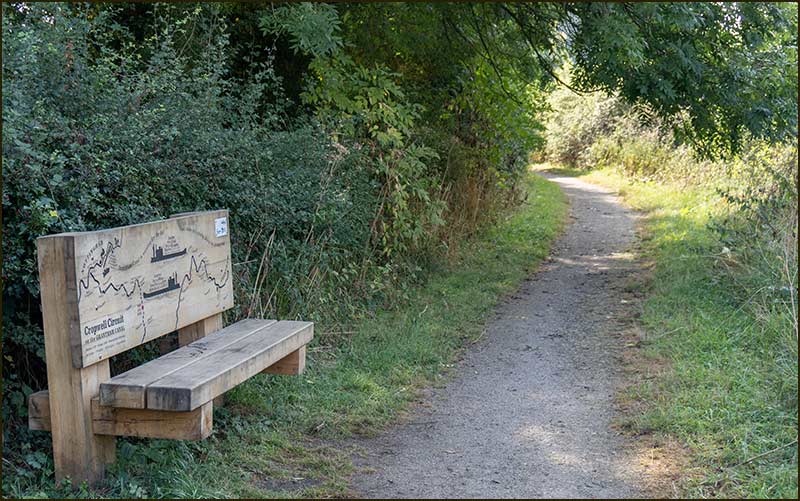
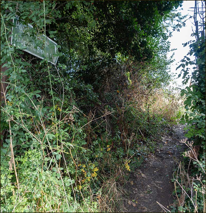
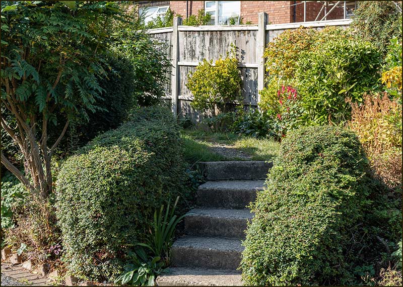
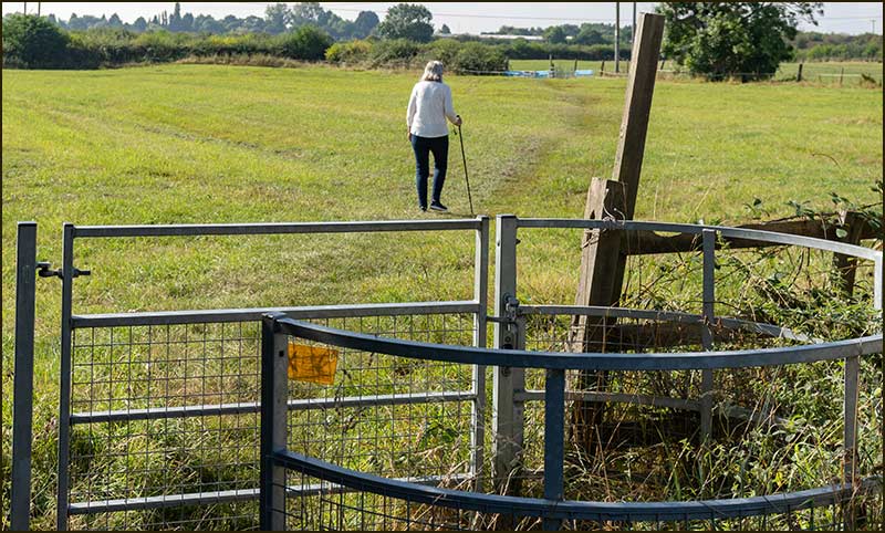
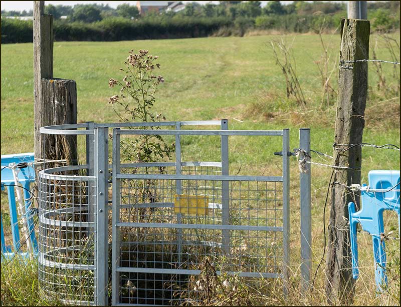
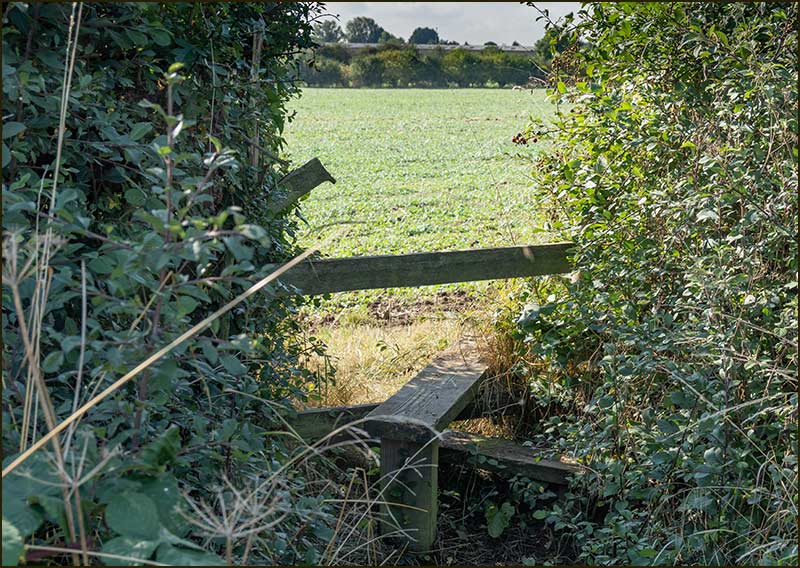
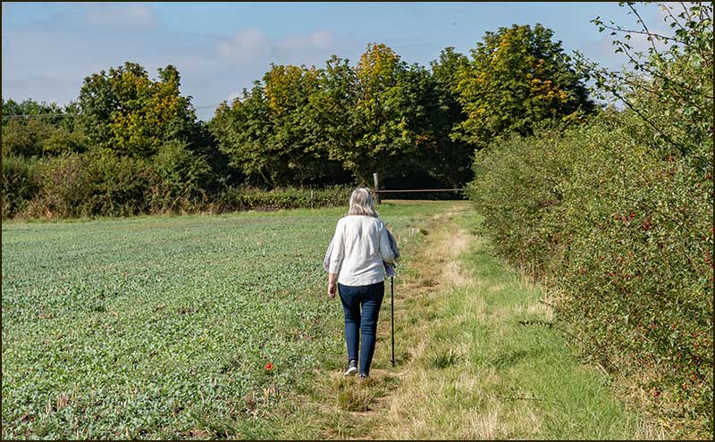
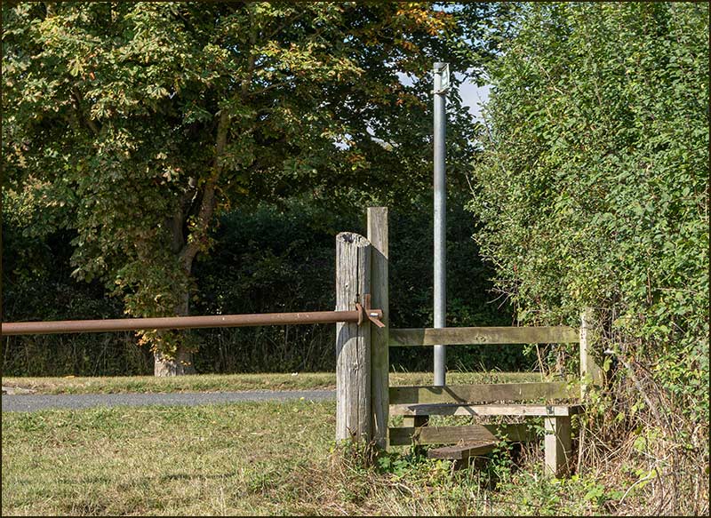
The numbers on the map, along the route, refer to the numbered photos below.

This first walk is almost 3 miles long and will take you about an hour.

I hope you enjoy it.


Tony Jarrow

Colston Road Bridge Walk
1. The starting point is Richards Close where there is a footpath sign
Colston Road Bridge Walk
2. Walk up the Close and in 10m there are steps: go up them and follow the path.
Colston Road Bridge Walk
3. Go through the metal gate and onwards along the track that leads to a gap in the far hedgerow.
Colston Road Bridge Walk
4. A metal gate gives entry to the next field where the track continues in the same direction to a stile in the far corner, although you can’t see it until you are almost there.
Colston Road Bridge Walk
5. Once over the stile, immediately turn right and continue beside the hedge as far as the wide gate and stile.
Colston Road Bridge Walk
6. The gate ahead is alongside the Kinoulton Road.
Colston Road Bridge Walk
7. Climb over the stile or, as most seem to prefer, duck under the gate. Then turn left.
Colston Road Bridge Walk
8. About 100 metres away, on the left-hand side, is the towpath beside the Grantham Canal: that is where you are heading.
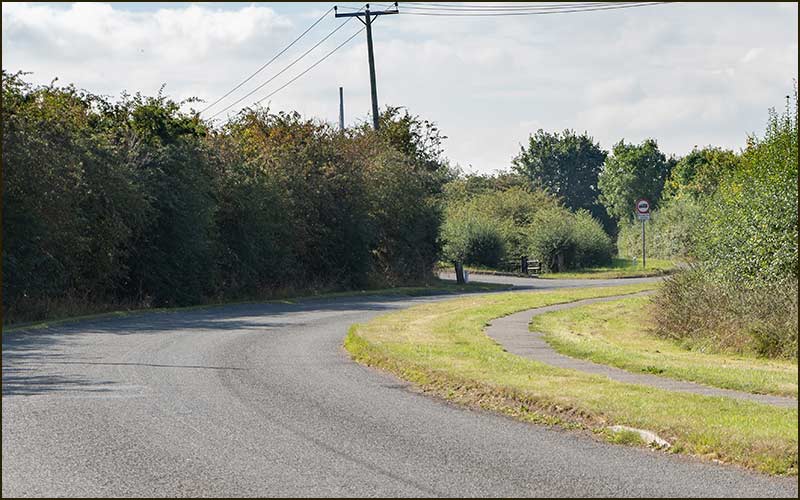
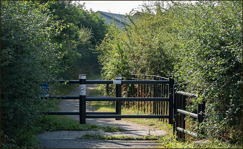
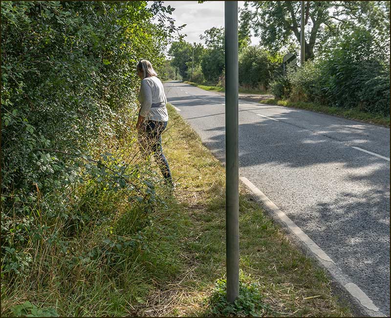
You may be able to safely walk on the left side of the road if it is dry and the grass is short, otherwise, cross the road and then back again at the Canal.
Colston Road Bridge Walk
9. The Grantham Canal towpath.
Colston Road Bridge Walk
10. As you walk along the towpath you will pass the Old Mill on your left, now part of the Canalside Industrial Park.
Colston Road Bridge Walk
11. A little further on, you can rest at a wooden bench and learn something about the Canal and its route.
Colston Road Bridge Walk
12. At the top of a short climb to the Colston Bassett Road, wiggle through the barriers and turn left.
Colston Road Bridge Walk
13. After just 5 metres, turn left again through a gap in the hedge.
Colston Road Bridge Walk
14. The footpath sign tells you that Cropwell Bishop is a 1 mile away.
Colston Road Bridge Walk
15. This area is called Blue Hill. Some say it got its name from the abundance of bluebells that once grew here: some say they don't know.
Colston Road Bridge Walk
16. In contrast to your trek along the towpath, you can now enjoy distant views of the countryside leading all the way to Cropwell Bishop – and the first part is gently downhill.
Colston Road Bridge Walk
17. At the bottom of the hill you have to walk a little to the left to reach the path that continues, in the same manner, alongside the hedgerow.
Colston Road Bridge Walk
18. When the hedge suddenly comes to an end (a post with a yellow top will alert you), the track deviates a little to the right towards a gap in the far hedgerow. There is a footbridge in the gap and you are going to cross it.
Colston Road Bridge Walk
19. Once over the bridge, keep left and walk alongside the hedgerow.
Colston Road Bridge Walk
20. You are now heading towards the centre of the village and will eventually reach a hedge in front of you.
Colston Road Bridge Walk
21. The walk will end opposite St Giles Church and it is now clearly in view: not far to go.
Colston Road Bridge Walk
22. Once again, a yellow topped post shows the location of the gap in the hedge.
Colston Road Bridge Walk
23. Go through the gap. It is quite narrow and you have to lift a chain – and put it back after afterwards.
Colston Road Bridge Walk
24. As before, keep to the left and, in no time, you will reach the final stile.
Colston Road Bridge Walk
25. The stile is more solid than it looks.
Colston Road Bridge Walk
26. The final few steps lead to the centre of Cropwell Bishop where its three main roads meet. This junction is called ‘The Turn’.