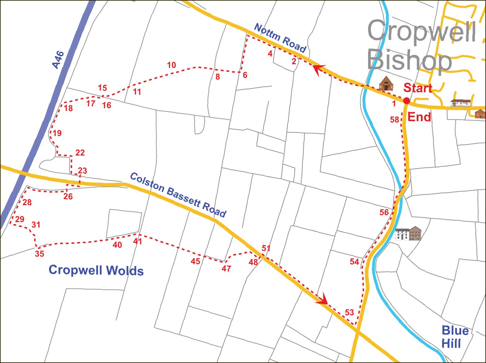
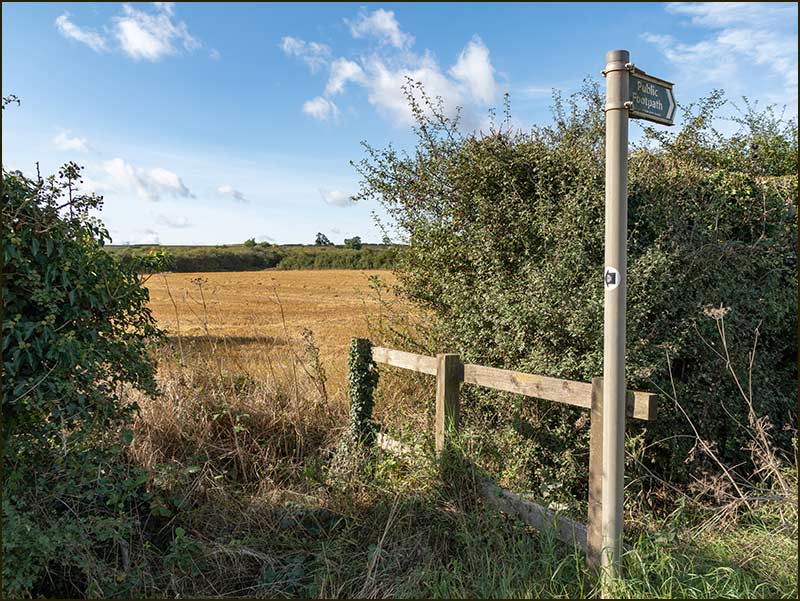
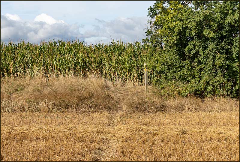
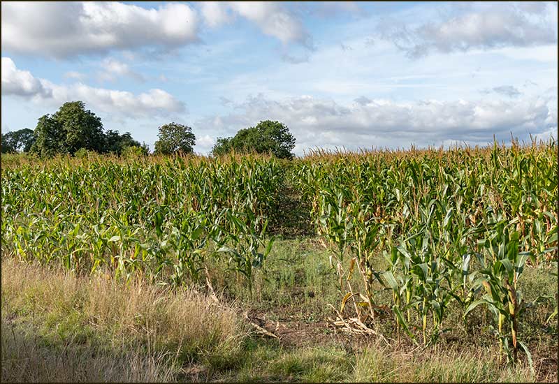
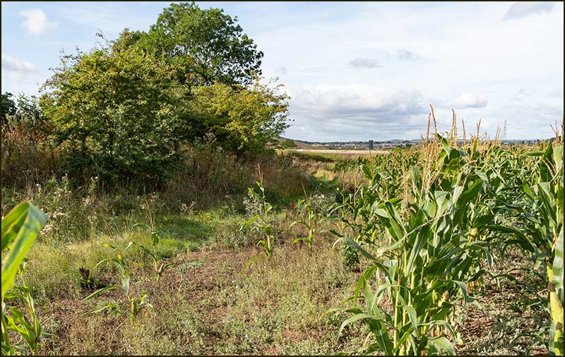
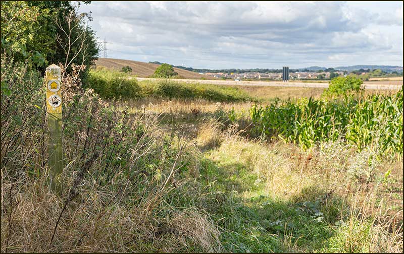
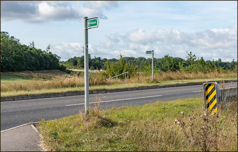
Cropwell Wolds Walk


Cropwell Wolds

To be honest, this walk is probably the most strenuous of all the circular walks from Cropwell Bishop. There are longer ones, but this has the steepest climbs. Don't make it the first of your Cropwell Walking Adventures.

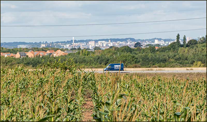
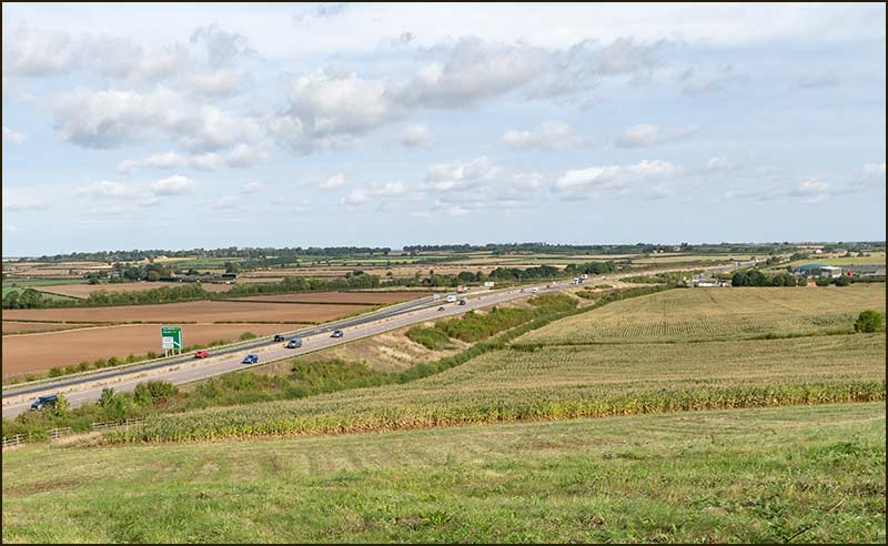
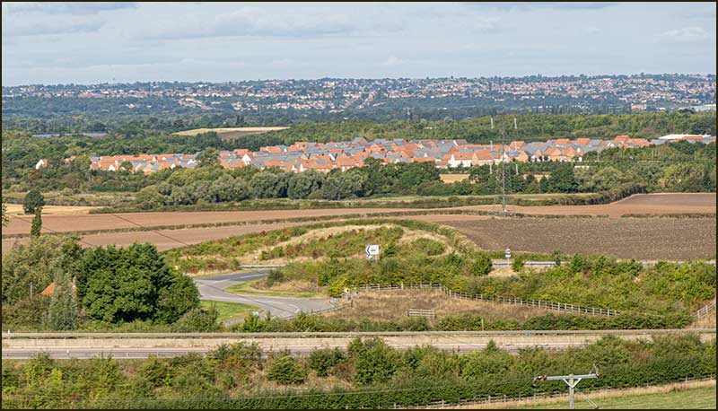
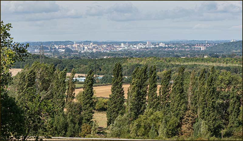
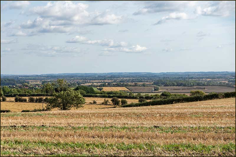
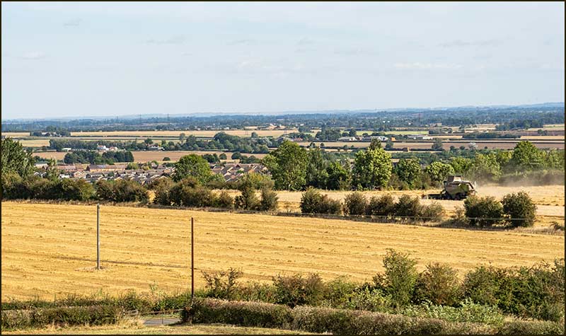
But once you are ready for the challenge, embrace it. Look at the positives; on a fine day, you will be treated to wonderful views, ones which you would never have thought possible within walking distance of your home – and the second half of the walk is all downhill.


Tony Jarrow


Map
4 miles in 1hr 45mins (both approx)

Cropwell Wolds Walk
1. This walk starts on Nottingham Road at its junction with Kinoulton Road. Set off westwards in the direction of the A46. When you reach the canal, you should cross the road to the pavement on the other side.
Cropwell Wolds Walk
2. When you reach the Creamery building, keep straight on.
Cropwell Wolds Walk
3. By the time you reach the end of the building, you will see the footpath post ahead and you will have to walk the last 10m on the grass verge.
Cropwell Wolds Walk
4. Go over the little bridge into the field.
Cropwell Wolds Walk
5. Immediately turn right and walk alongside the hedge until you reach the corner of the field, then turn left and continue walking with the hedge on your right. After about 50m, look out for a wooden post with a yellow top.
Cropwell Wolds Walk
6. The post is a waymarker and indicates a path through the gap in the hedge. Follow it and you should see a path leading across the field.
Cropwell Wolds Walk
7. The route may not be very clear but it heads to a another waymarker just to the left of the tree opposite.
Cropwell Wolds Walk
8. Fields are used to grow crops and the sight ahead will depend on the time of year. It may be an open field with stubble and the next waymarker will be clear to see. At other times it may have crops 2m high. Nevertheless, it is the landowners duty to maintain the right-of-way.
Cropwell Wolds Walk
9. On this day the route is through sweetcorn and the initial stretch looks like a tunnel.
Cropwell Wolds Walk
10. Where the crops are less high, Nottingham city centre can be seen.
Cropwell Wolds Walk
11. As you will see from the map, the path across these fields is a straight line, apart from a small kink in the second field. Where there is a hedge, there is a gap and a waymarker.
Cropwell Wolds Walk
12. Continue in the same direction through this small field.
Cropwell Wolds Walk
13. When you eventually reach a small wood, go right and follow its boundary as it curves to the left.
Cropwell Wolds Walk
14. Within a couple of minutes you will come across a way marker beside a little bridge.
Cropwell Wolds Walk
15. This bridge is your entry into the next field.
Cropwell Wolds Walk
16. Once over it, turn right and walk alongside the hedge.
Cropwell Wolds Walk
17. Within a minute or so, the right-of-way cuts the corner of the field. Take it.
Cropwell Wolds Walk
18. When you reach the hedge, which is the boundary of the A46, turn left and follow its edge.
Cropwell Wolds Walk
19. The line of the hedge will eventually sweep to the left and the crops will likely peter out: this is because it is too steep to plough. Take your time, this is quite a climb but it will be worth it.
Cropwell Wolds Walk
20. A backward glance reveals miles of the Fosse Way – its name when the Romans first built it.
Cropwell Wolds Walk
21. This top corner looks restful, but you need to swing to the left and walk another 100m.
Cropwell Wolds Walk
22. When the hedge ends, the route is downwards to the road at the bottom.
Cropwell Wolds Walk
23. Over a stile.
Cropwell Wolds Walk
24. This is the Colston Bassett to Cotgrave road. There may be fast traffic so take care; you have to cross it to reach the path on the other side.
Cropwell Wolds Walk
25. Concrete steps lead to the stile.
Cropwell Wolds Walk
26. This stile is fairly new; it was erected after the new A46 was opened in 2011.
Cropwell Wolds Walk
27. Once over the stile, turn right and keep close to the hedge on your right. You should follow it to the bottom corner – no corners cut off in this field.
Cropwell Wolds Walk
28. Then turn left and follow the fence as it sweeps uphill.
Cropwell Wolds Walk
29. There is a stile to the next field.
Cropwell Wolds Walk
30. After the stile, turn left and head up to the wood.
Cropwell Wolds Walk
31. You are aiming to get to the top of the hill and your route is through this wood. Your entrance is via a bridge, then it is an uphill trudge – but not for long.
Cropwell Wolds Walk
32. The narrow path goes up, and diverts around a fallen tree.
Cropwell Wolds Walk
33.Then continues its winding route between the ancient trees.
Cropwell Wolds Walk
34. Within minutes, you will see sky beyond the trees ahead. You are nearly out of the wood.
Cropwell Wolds Walk
35. Out in the open, but not quite at the top of the hill. Turn left and follow the path upwards: it is not far, and the views will be worth the effort.
Cropwell Wolds Walk
36. As you leave behind the wood on your left, you will see structures on the horizon. Not a spacecraft, surely.
Cropwell Wolds Walk
37. On your left, the A46, Hollygate Park at Cotgrave and, on the horizon, Carlton and Colwick.
Cropwell Wolds Walk
38. Look further to the left and you will see Nottingham's city centre. How many buildings can you identify?
Cropwell Wolds Walk
39. If you had the job of granting planning permissions, what might you think appropriate at this high point? If you think a water reservoir, you are in good company.
Cropwell Wolds Walk
40. And wouldn't it be a great place to put an astronomical telescope? Someone thought so.
Cropwell Wolds Walk
41. Continue walking alongside the iron railings and, when they come to an end, stand by the yellow headed post and look ahead. The path is a straight line to the gap in the far hedge.
Cropwell Wolds Walk
42. As you walk towards that gap, enjoy the wonderful distant views – although it won't always be as fine a day as this one.
Cropwell Wolds Walk
43. At the gap you will see the path continues in the same direction towards another gap.
Cropwell Wolds Walk
44. In almost every direction, the horizon is far, far away.
Cropwell Wolds Walk
45. The official gap in the hedge is dwarfed by a bigger one on its right.
Cropwell Wolds Walk
46. Belvoir Castle is clear to see on the horizon: it comes at the left-hand end of the long high ridge. Is Lincoln Cathedral visible?
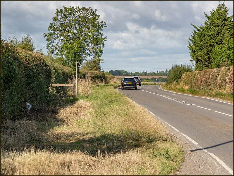
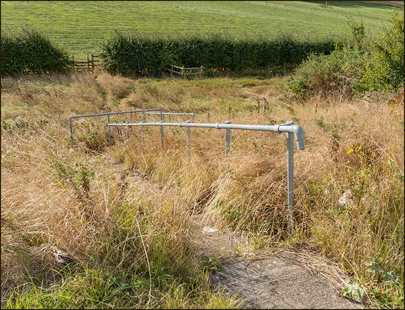
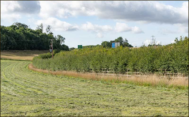
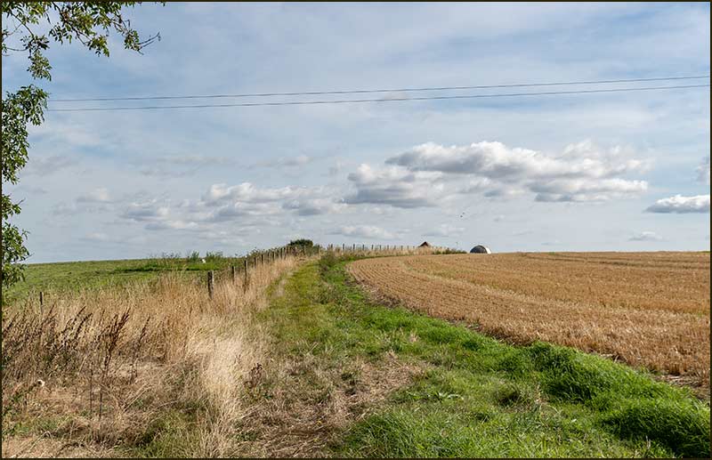
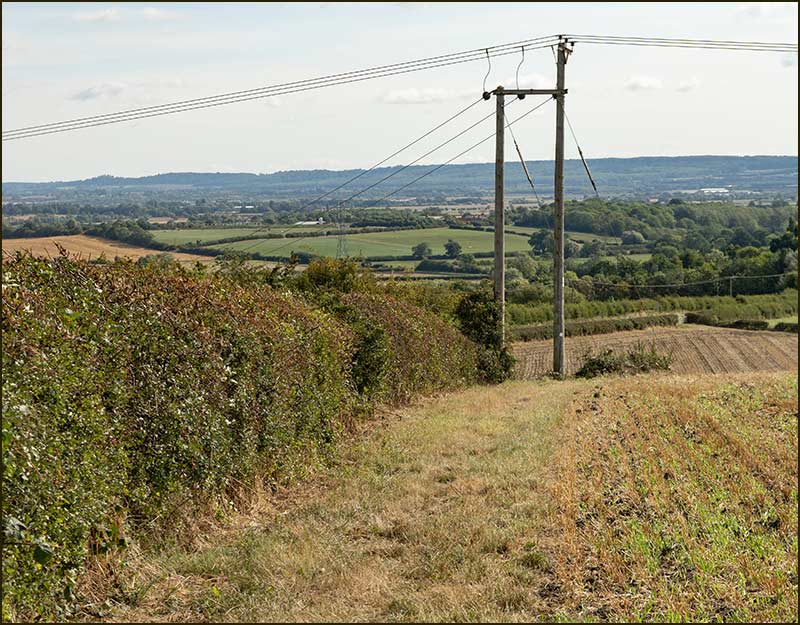
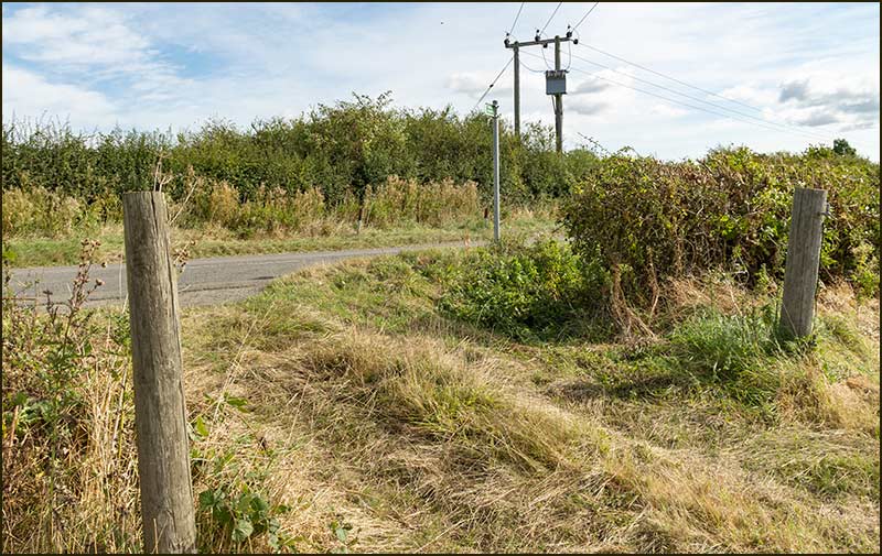
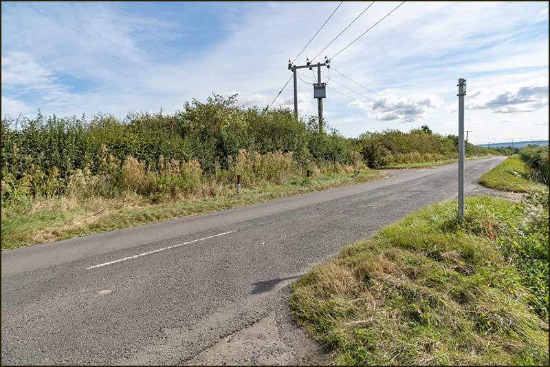
Walk on to the twin posts that support power lines.
Cropwell Wolds Walk
47. From there, the path sweeps to the left, alongside the border of a small wood. You may wonder what comes alive inside it at the dead of night: I did.
Cropwell Wolds Walk
48. Eventually you will reach the road that goes from Cotgrave to Colston Bassett – the same one you crossed 40 mins ago.
Cropwell Wolds Walk
49. Take care in crossing the road, then walk on the grass verge to the roadway 30m away.
Cropwell Wolds Walk
50. There, you will spot a public footpath finger-post.
Cropwell Wolds Walk
51. Its finger points down the dead-straight path that goes all the way to where the cross-road are.
Cropwell Wolds Walk
52. There, it swings 90 degrees to the left, and becomes a very pleasant, downward path that heads straight towards Cropwell Bishop.
Cropwell Wolds Walk
53. You will see 'Small People' on the right – once the historic Lime Kiln Inn.
Cropwell Wolds Walk
54. The trees provide shelter from either strong cold winds or hot sunshine: so welcome in every season.
Cropwell Wolds Walk
55. The field to your left was once the site of a deep open-cast gypsum mine. With the gypsum removed, its surface is somewhat lower than it once was.
I wonder where in the world that gypsum now is: just a thought, I don't expect any answers.
Cropwell Wolds Walk
56. The path leads you to Kinoulton Road; turn left.
Cropwell Wolds Walk
57. In just a few minutes Cropwell Bishop, and its Stilton Cheese, greet you.
Cropwell Wolds Walk
58. At the junction of Nottingham Road you are back where you started: a large number of your calories have been left on those hills behind you.