Cropwell Bishop Streets: — Colston Road (15-1-21)

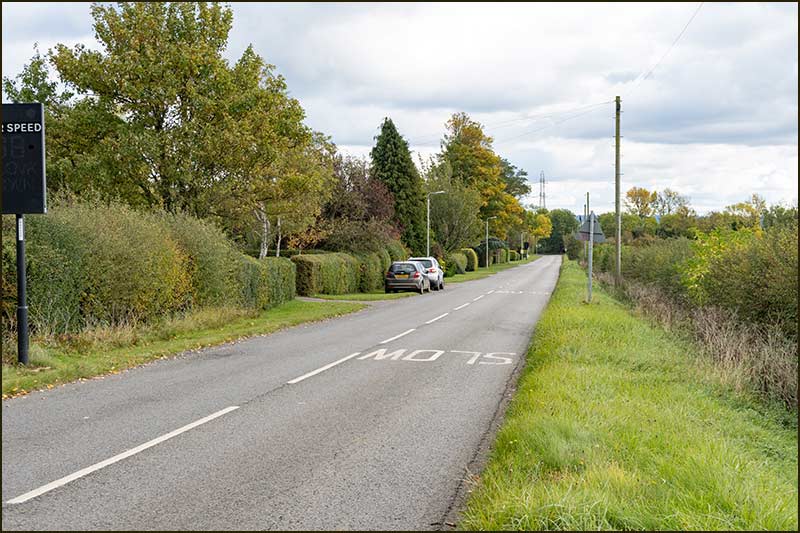
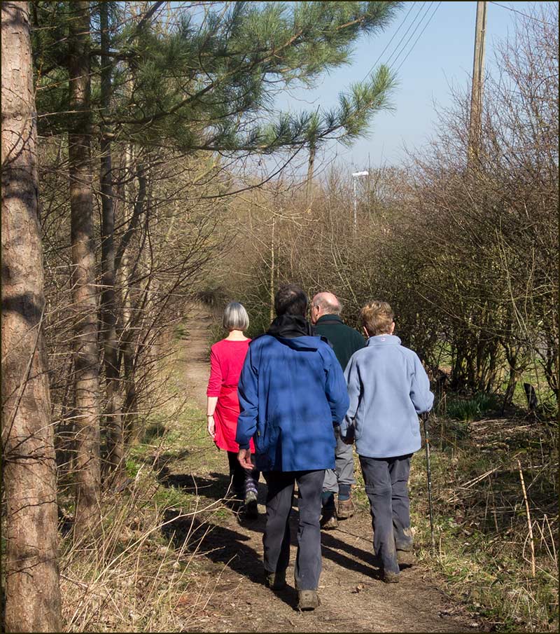
Colston Road is a 15-minute walk from the centre of the village and at the top of a hill. Its name obviously comes from being the road that leads to Colston Bassett and it wasn’t so long ago that its full name was Colston Bassett Road.
Villagers commonly refer to it as ‘Top Road’ and to those who have walked up there, it feels an appropriate name.
Until 1840 there were no houses on this stretch of road. It was in that year that Richard Smith of Cropwell Bishop had the Lime Kiln Inn built on a corner of the crossroads.
Since that time, more houses have been built and new developments continue to this day.

The Western End of Colston Road
Let’s start by looking at the top end of the road.
If you turn right at the Lime Kiln Crossroads, you will be going steadily uphill and heading towards Cotgrave.
On the brow of the hill, you will be 48m higher than The Turn in the centre of the village.
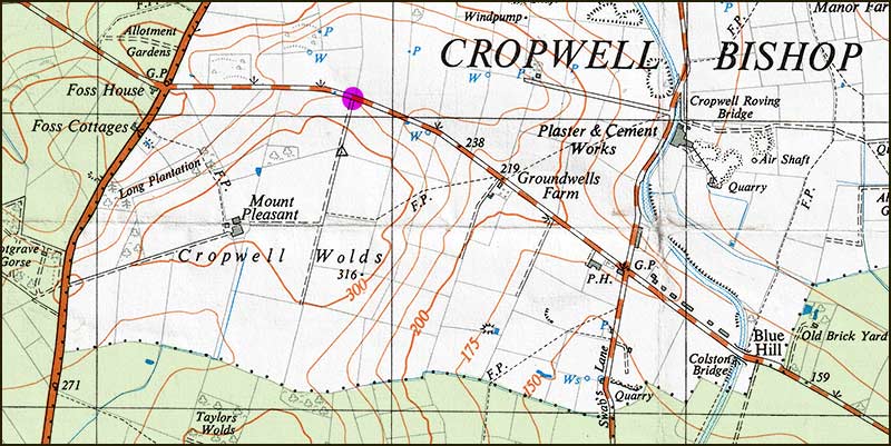
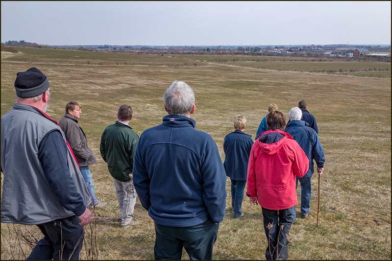
This region is the highest in the parish but to reach the top spot you will have to walk up the public footpath that rises from Groundwells Farm to Cropwell Wolds where you will be 55m higher than the village centre.
Looking eastwards from there, the next highest point is Belvoir Castle, 15 km (9 miles) away.
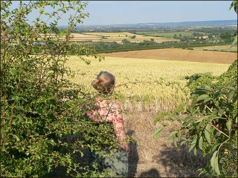
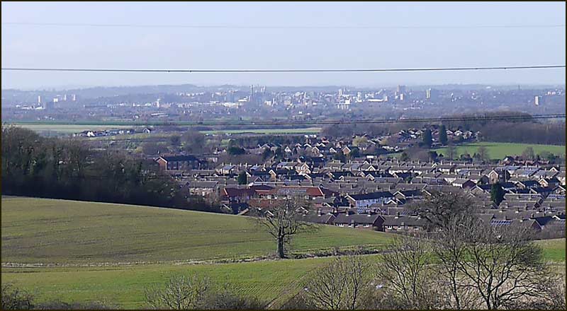
If you walk to the northern edge of Cropwell Wolds, you can see Nottingham city centre in the distance, beyond the roofs of Cotgrave homes. This is a glorious spot: no wonder Nottingham Astronomical Society has an observatory up here.
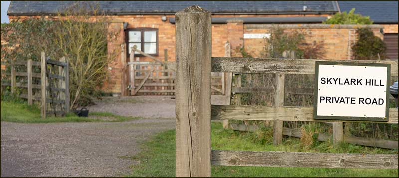
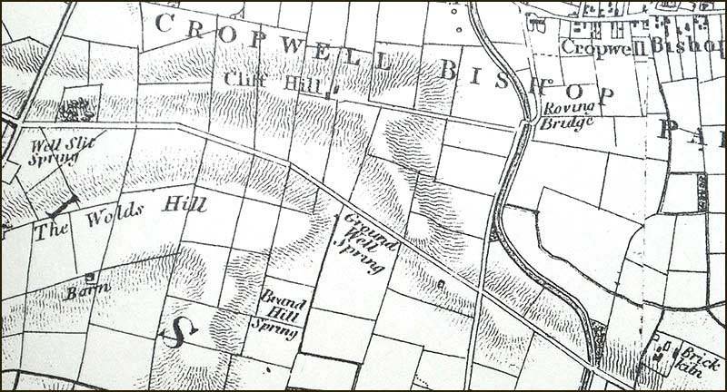
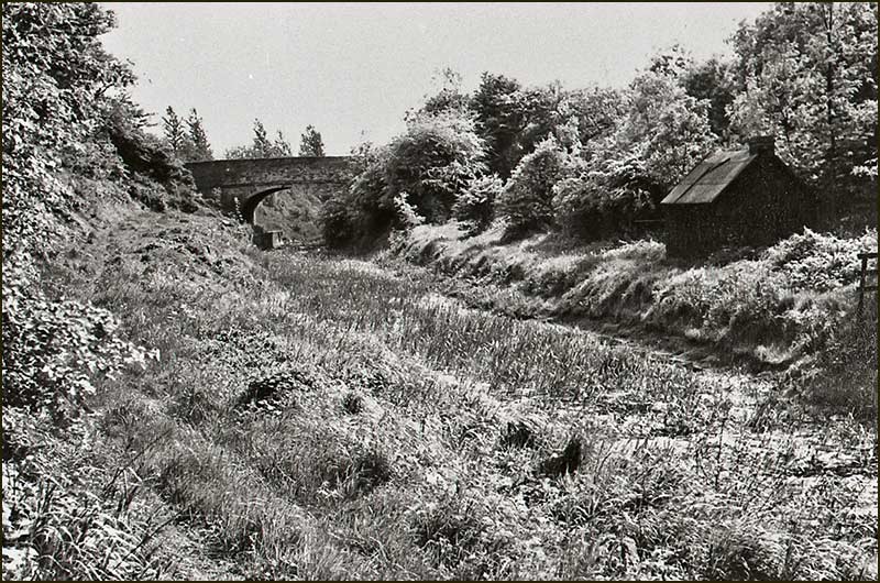
Along this high stretch of Colston Road, behind a hedge on the southern side of the road, there is a sloping grassy field with bushes – you can see it through the gated entrance. This field belongs to our Parish Council and its history began in 1804 with the passing of the Enclosure Act in Cropwell Bishop.
In that Act, land was re-allocated to existing local landowners. It also laid down rules for establishing roads, bridlepaths, hedges, etc. It also recognised the need for space where building materials could be stored.
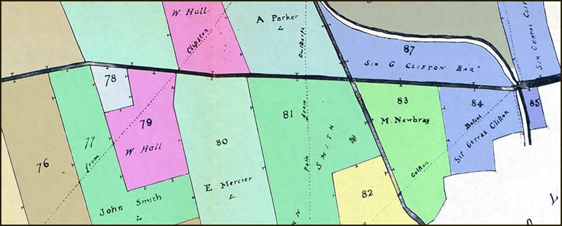
One such area is shown on the 1804 Enclosure Map, the 3-acre field numbered 78, which is allocated to the "Surveyor or Highways for the maintenance of roads". This is the field that Cropwell Bishop Parish Council inherited and it has long been referred to as, Van Diemen’s Land.
This name, Van Diemen’s Land, was once used to describe the large island that lies off South Australia, now called Tasmania. But how did a small parcel of land in Cropwell Bishop come to share the same name, I wonder.
The best answer that I can come up with comes from Tasmania’s history.
The first sighting of the island by a European was by a Dutch explorer in 1642. He named it Van Diemen’s Land after the Governor of the Dutch East Indies (actually, this is an anglicised version of the Dutch name he used).
The first settlement by Europeans was a small British party that arrived in 1803. In 1804 another British party landed in Storm Bay and their settlement has since grown to become Hobart, the capital of Tasmania.
Note the year, 1804. This is the same year that the Cropwell Bishop Enclosure Act was passed. Does this explain (in some way that I can’t fathom) how our little field got its name. I don’t know.
An alternative explanation, that a villager has put forward, is that the name could derive from the activities that may have taken place on the land.
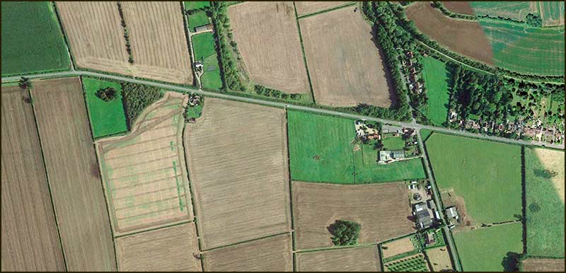
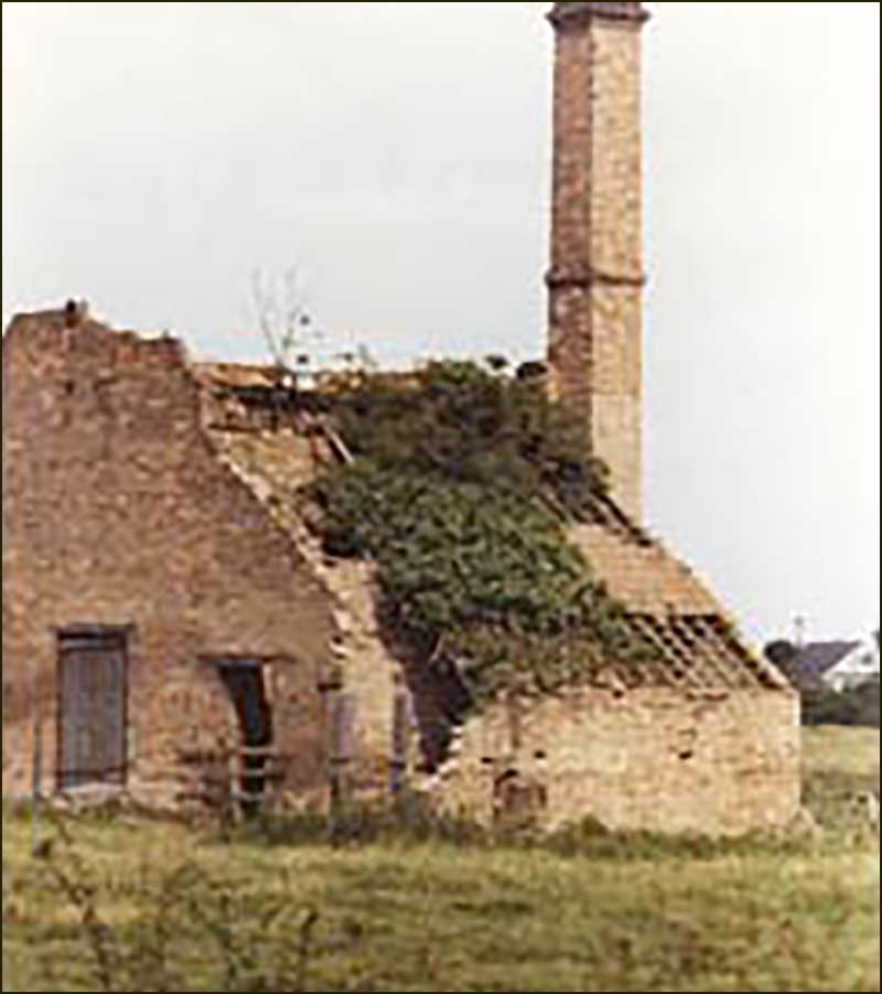
This land was allocated for road maintenance and maybe the reason it was chosen was because there was suitable limestone rock exposed. Old maps suggest a 'stone pit' and also a lime kiln were there at one time.
In which case, could it be that men spent days breaking up stones on the site. Whether or not they were paid or forced (a punishment for wrong-doers?) doesn't matter, such work could have been looked upon as being as bad as transportation to Van Diemen's Land in Australia.
It sounds plausible.
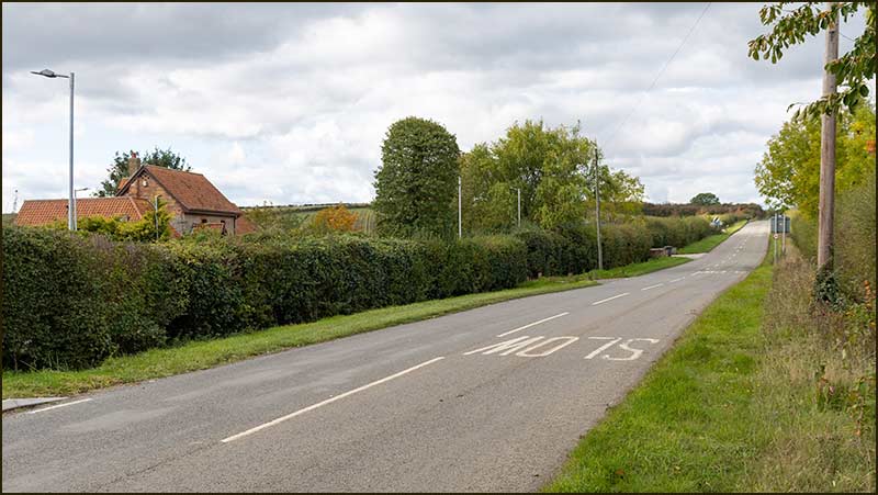
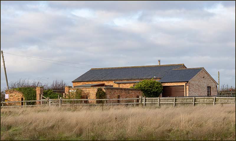
There are only three homes at this western end of Colston Road, the two on the private, rather unwelcoming, Skylark Hill Road and the older Groundwells Farmhouse. The farm is named after the ‘Ground Well Spring’ that is marked on 1835 maps.
The footpath to Cropwell Wolds begins just west of the farmhouse.
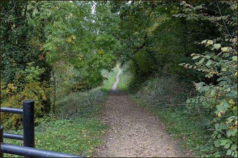
If you are daunted by the prospect of reaching this place on foot, given that there is no path alongside the road from Cropwell Bishop to this point, fear not. There is an excellent path, but it is hidden behind the hedge.
The path starts opposite the Canalside Industrial Park on Kinoulton Road. From there you can walk all the way to Groundwells Farm with a thick hedge between you and the road. There is an alternative route across the fields which can be very pleasant in dry sunny weather.
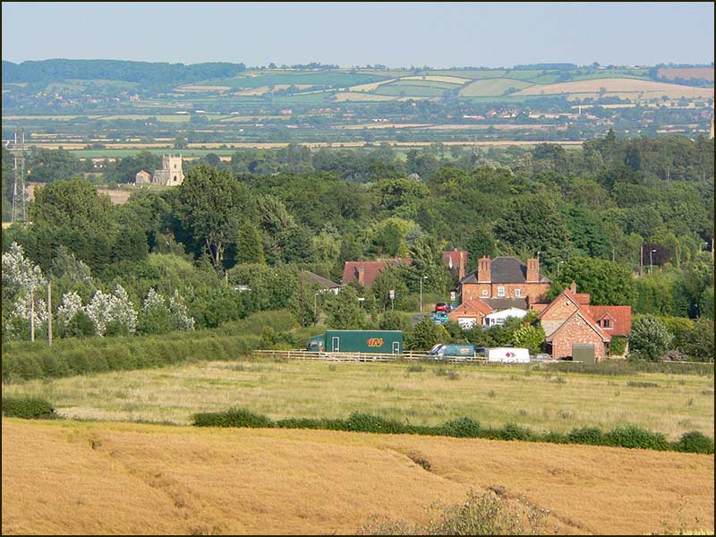
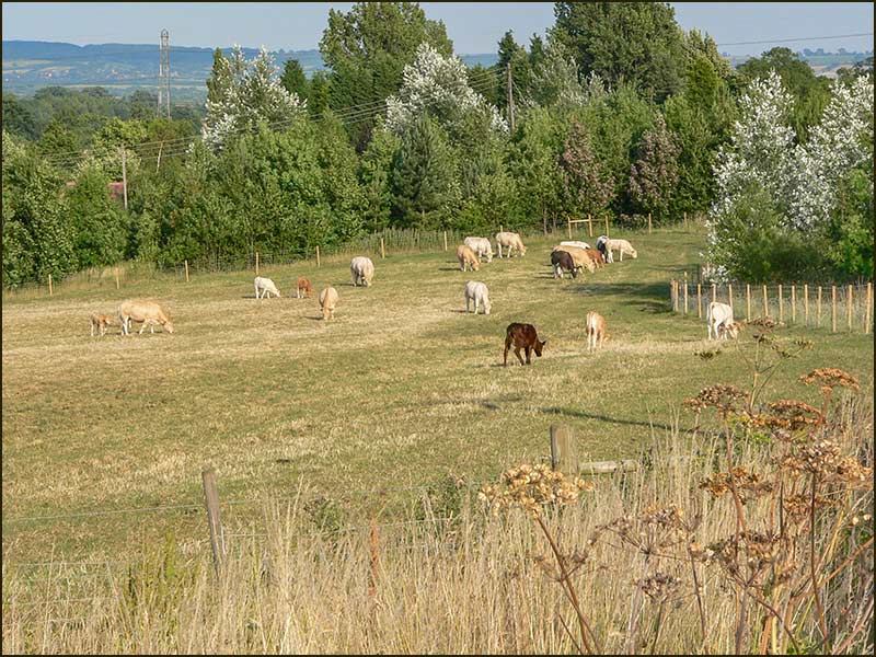
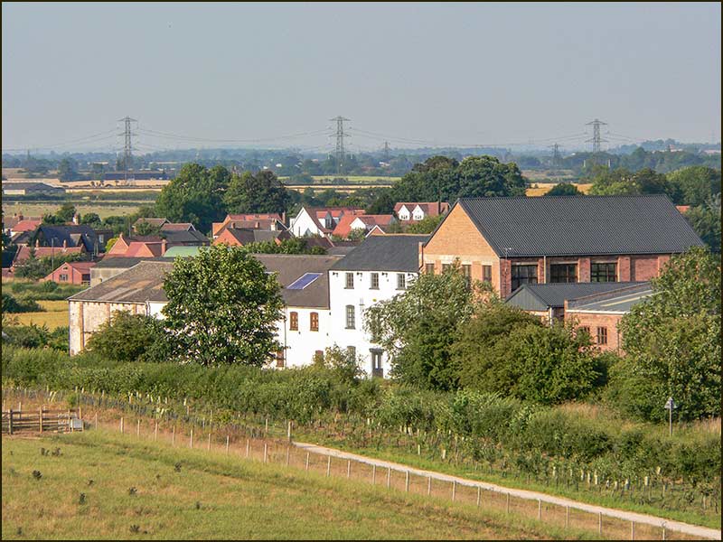
Views
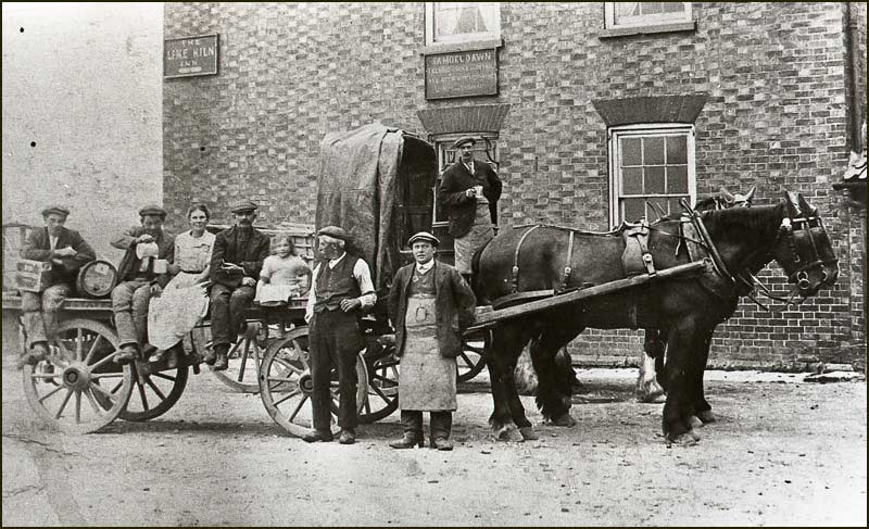
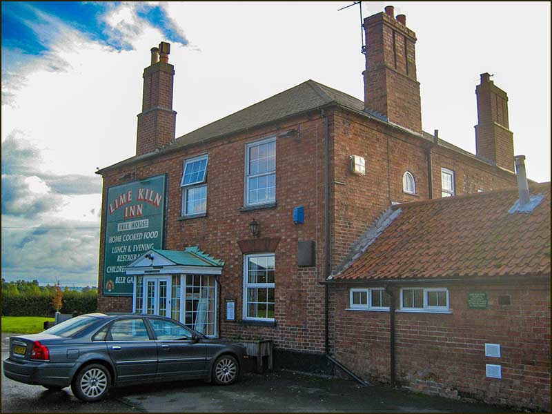
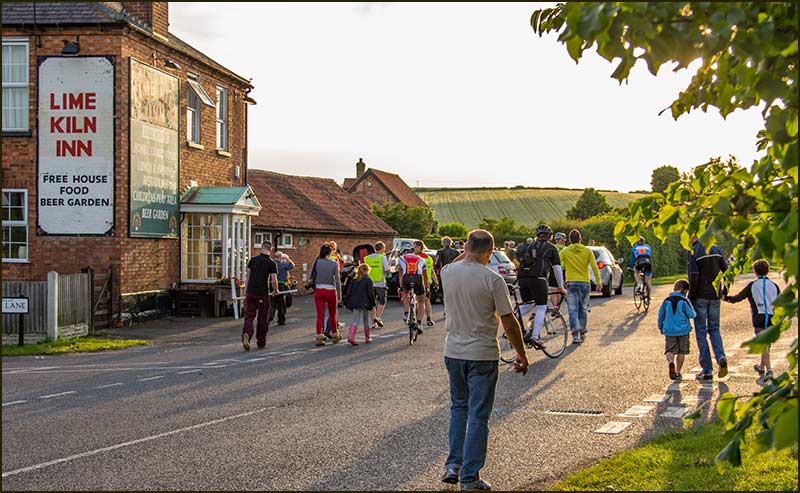
Lime Kiln Inn
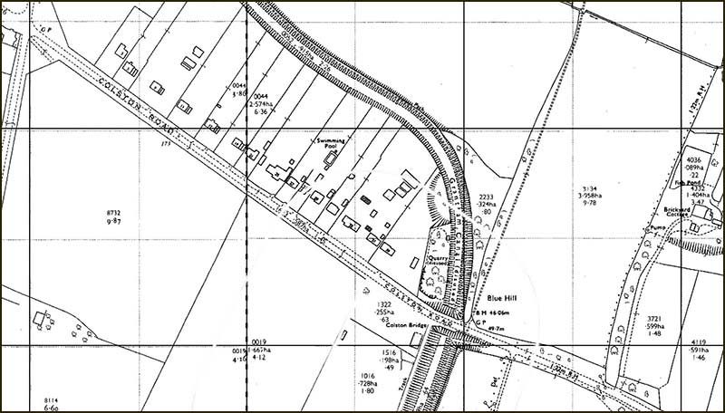
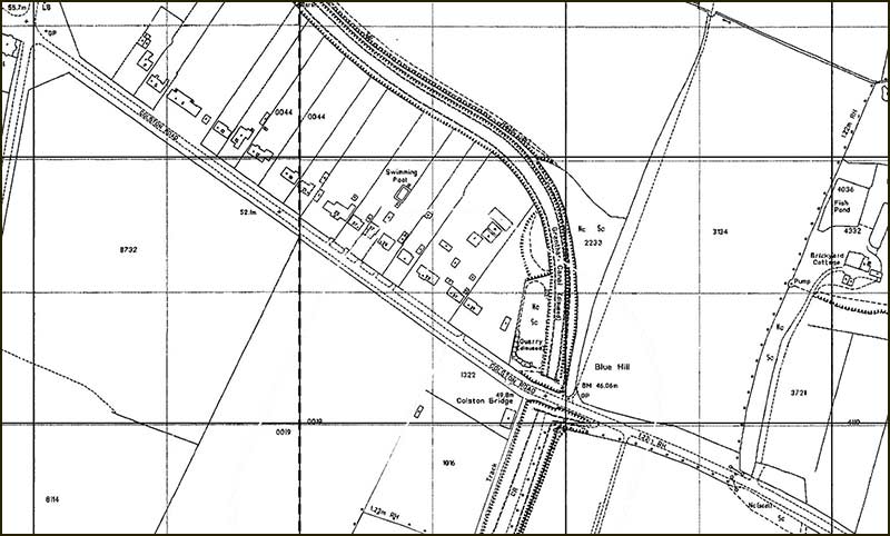
Where the Cropwell Bishop to Kinoulton Road crosses Colston Road, is called the Lime Kiln crossroad. At least, it has been called for 180 years, but its name may eventually change to Small People crossroad; we will have to wait and see.
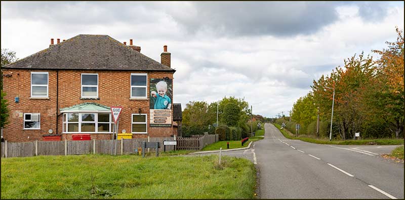
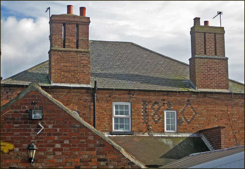
When the Lime Kiln Inn was built by Cropwell Bishop builder, John Smith, in 1840 – he used fancy brickwork on the west wall to commemorate the year.
When you look at the 1835 map of this area, you may think it odd to have built a large inn in, what would seem to have been, a remote place.
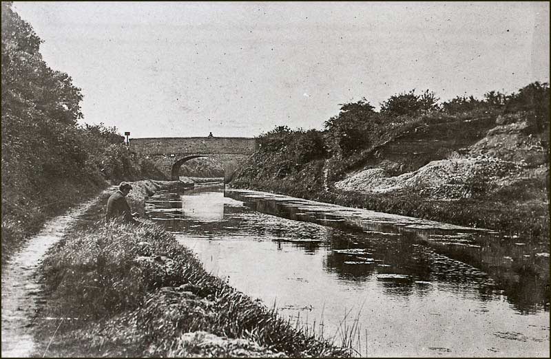
However, bear in mind that at that time, the Grantham Canal was operating and thriving – this being the time before railways would take trade away from canals.
Also, the mining and refining of gypsum in Cropwell Bishop was a growing business. Just 100m away on Swab’s Lane was a working Lime Kiln, and 100m in the other direction was the canal.
Heavy, manual work needed men, and men needed food and drink. The Lime Kiln Inn would have been a popular drinking hole for them, being much closer than the other village pubs.
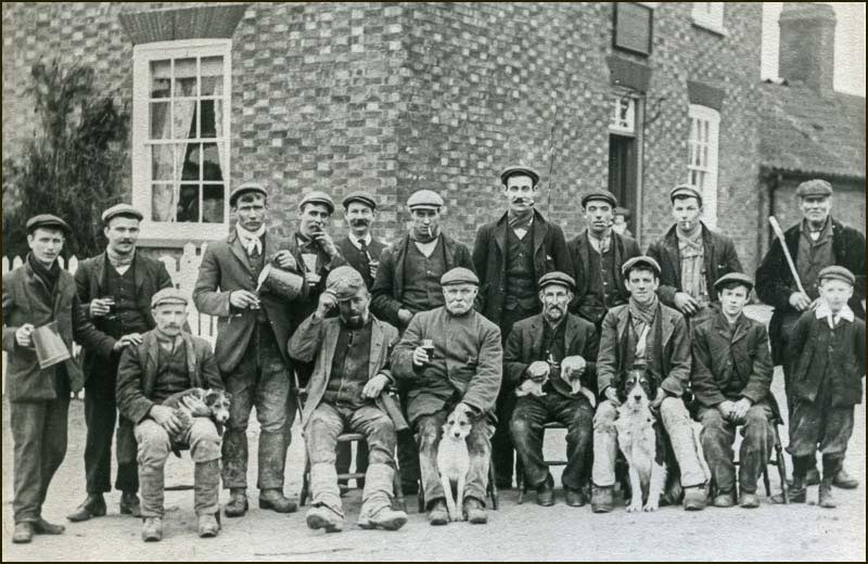
Also, the inn would have had its fair share of travellers to-and-from Nottingham, who would have boosted trade.
So, in retrospect, Richard Smith’s decision to build the Lime Kiln Inn in that spot was a shrewd one. The inn traded successfully for over 170 years.
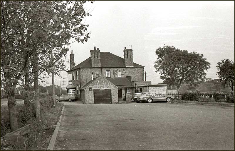
It was only about five years ago that it finally closed its doors, despite still being popular with local people for its home cooked food and for being nearby for having family gatherings.
Over the years, its location and large car park enabled it to support local activities as well as stage big gatherings.
For example, there was a large range of easily accessible recycling bins in the car park that many villagers made use of.
Also, once a week during the summer months, racing cyclists would park their cars in the car park during the early evening whilst they took part in time trials that started across the road. These and other small conveniences came to be taken for granted, but are now missed.
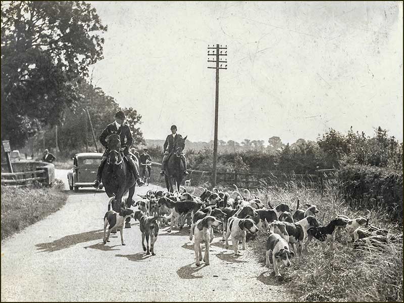
Over many decades, it also served as a meeting place and starting point of the South Notts Hunt.
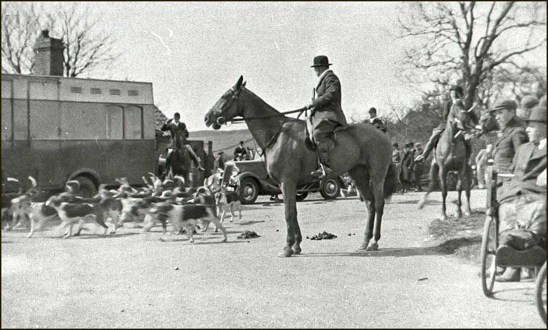
Up until 1975, it was also the focus of a point-to-point horse race.
These races can be thought of as steeple chasing for amateurs, organised at a local level. They date back to 1836 when men used to race their horses from church steeple to church steeple – hence the name “point-to-point”.
When they took place, you could stand on the verge of Colston Road (west of the Lime Kiln) and look southwards over the fields to see horses and riders, race over a route that was a giant square with a perimeter about a mile long.
They would jump existing hedges and fences along the way. This was made possible because the land was owned by the pub's brewery. The event was held each Easter Bank Holiday Monday.
Since those days, the event has been held at Thorpe Lodge, just south of Newark.
Some of the world’s greatest racing cyclists have travelled down Colston road, before turning down Kinoulton Road into Cropwell Bishop. That was in 2018 when the Tour of Britain Cycle Race came through the village.
In 2012, amateur cyclists raced in front of the houses as they lapped a circuit, that can best be described as; ride away from the Lime Kiln along Swab’s Lane and take the first left. Keep taking the next left until you arrive back at the Lime Kiln. The finish was on Colston Road, near the Lime Kiln.
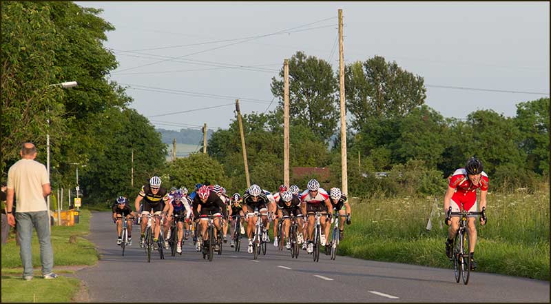
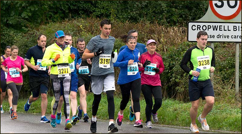
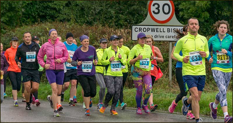
In recent years, the route of the annual Stilton Stumble Run has included a left turn at the Lime Kiln and then down Colston Road to Colston Bassett.
A great deal of effort has gone into making the old Lime Kiln Inn into a new, and very different business, one that can prosper in the 21st century.
It is wonderful to see a building with a long history being preserved, yet transformed, when the alternative elsewhere is so often demolition followed by an eyeosore.
The facilities we need in 2020 are a world away from what was wanted in 1840 or even 1980. It is to be hoped that "Small People" prospers.
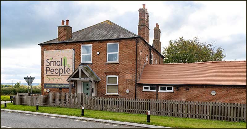
In offering an outdoor nursery where young children spend 80% of their day outside, it is giving children a wonderful holistic approach during their pre-school years. If I was 3 years old, I would be begging my Mum to take me there!
In time, we might be referring to the Small People crossroad, or maybe I should say, Robin House crossroads because that is the name of the building now.
However, it often takes a long time for people to change their thinking. I still refer to a traffic island in Nottingham as "Raleigh Island" and it is many decades since the Raleigh building disappeared.
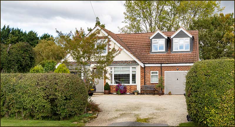
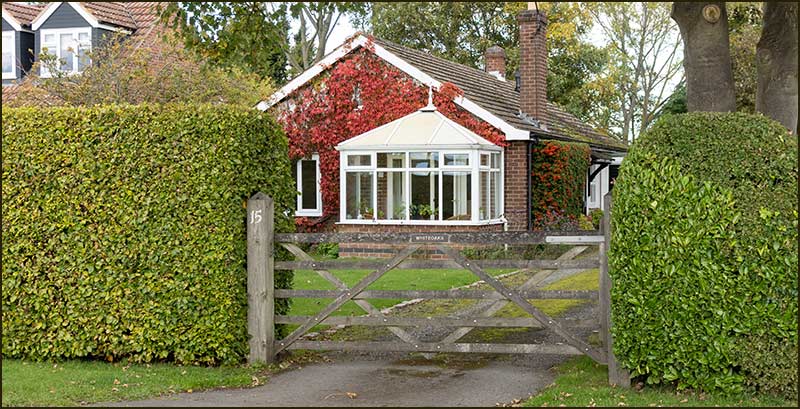
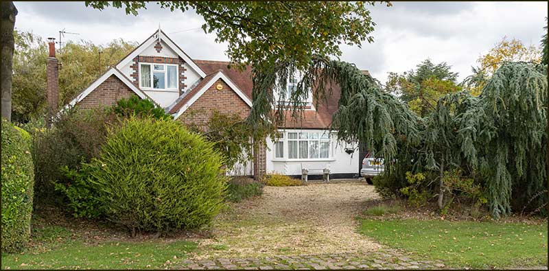
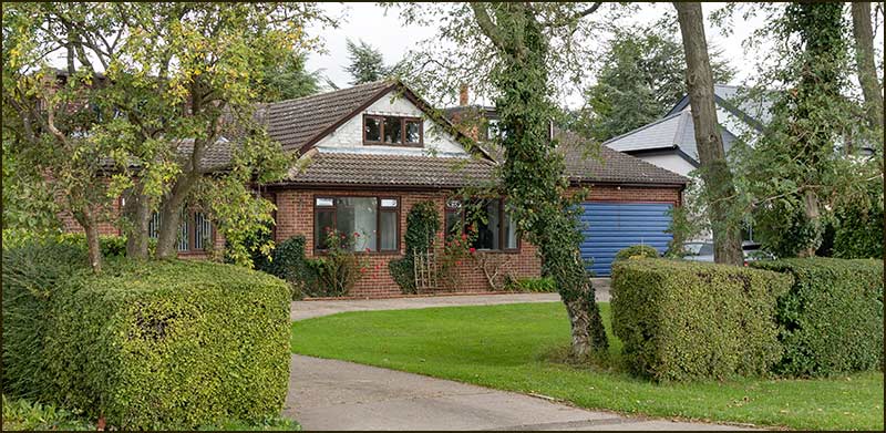
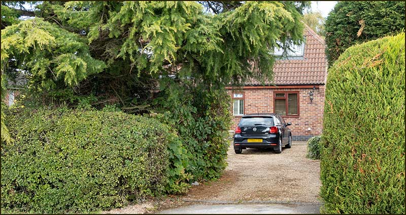
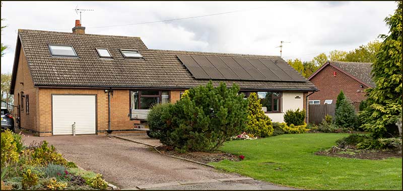
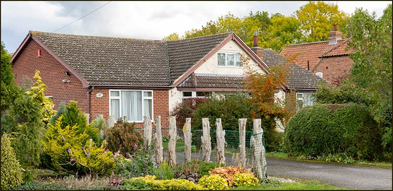
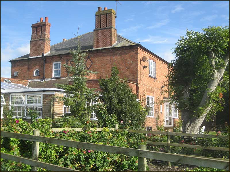
Houses
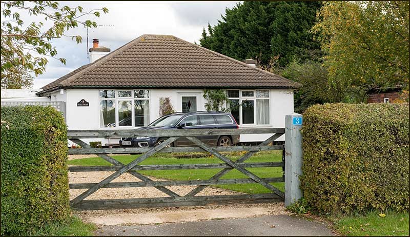
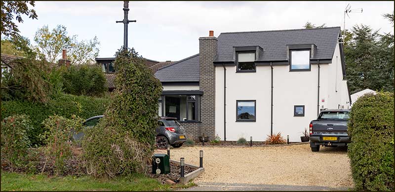
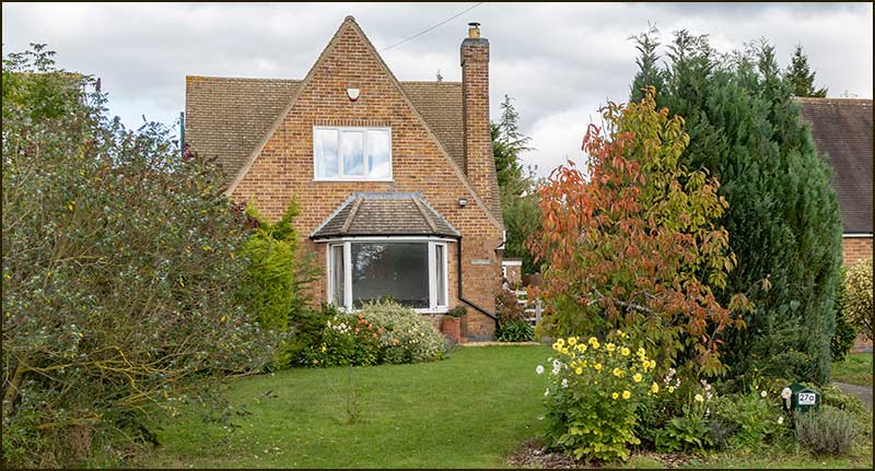
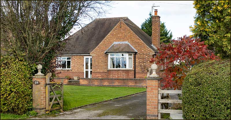
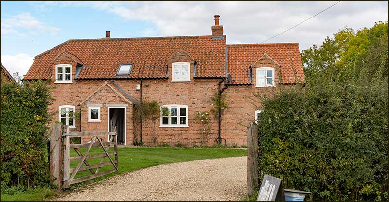
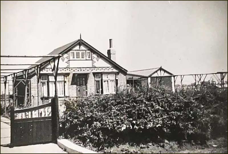
The houses that line Colston Road, or Top Road, to use its popular, easier-to-say name, were built around 1934.
A long-term resident of one of the houses, who has only recently moved away, told me that his father bought number 37 and, because he was one of the first residents, he had the keys to the other houses so that he could show them to interested buyers.
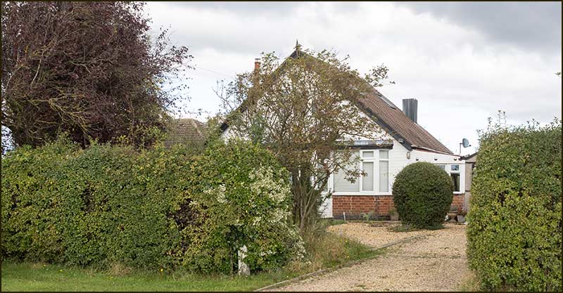
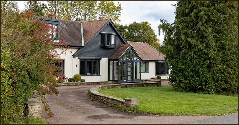
Almost all the houses have been modified since they were built. Number 5 is the only one that, from the road, has, essentially, the appearance of the original house design.
Once you know that, then it is not difficult to spot the shape of the original house in many of the other homes, in spite of major modifications. However, that is no longer possible for a growing number: they have been demolished and completely rebuilt.
This part of the village is known by older villagers as ‘China Town’. How it got this name is uncertain.
Some say it is because the original buildings are reminiscent of Chinese houses (like those on Willow pattern plates?) whilst others say the name had more to do with the high speed at which they were built.
Another possible explanation that has been passed to me is that, the people who lived there drank from china cups, whereas people down in the village drank from mugs. Maybe we will never discover which is the correct explanation.
One thing that cannot be argued with is that house numbering is a nightmare. Delivery people and emergency services must dread making visits.
The house numbers on many houses are tiny, distant, or non-existent. The usual technique of counting-back from a house number that you can read, will not work: the sequence of numbers is mostly illogical.
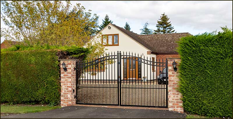
In the space of just 16 homes there are four missing numbers (7, 11, 23 & 35) and a pair of numbers (27 & 27a). High gates add to difficulty of identifying a house.
The haphazard numbering may well be the result of the way the first houses were sold. Apparently, plots of land of varying size were sold and then the houses were built upon them. Prospective owners may have changed their mind about how many houses they would have on their plot, or may have subsequently sold parts of their plot, or even bought neighbouring plots. Current owners are living with the consequences.
A clearly visible number at the drive entrance would alleviate all concerns – and satisfy Rushcliffe Borough Council, which points out that a clearly displayed house number is an enforceable requirement under the Towns Improvements Clauses Act of 1847.
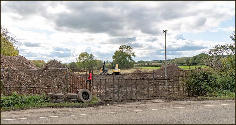
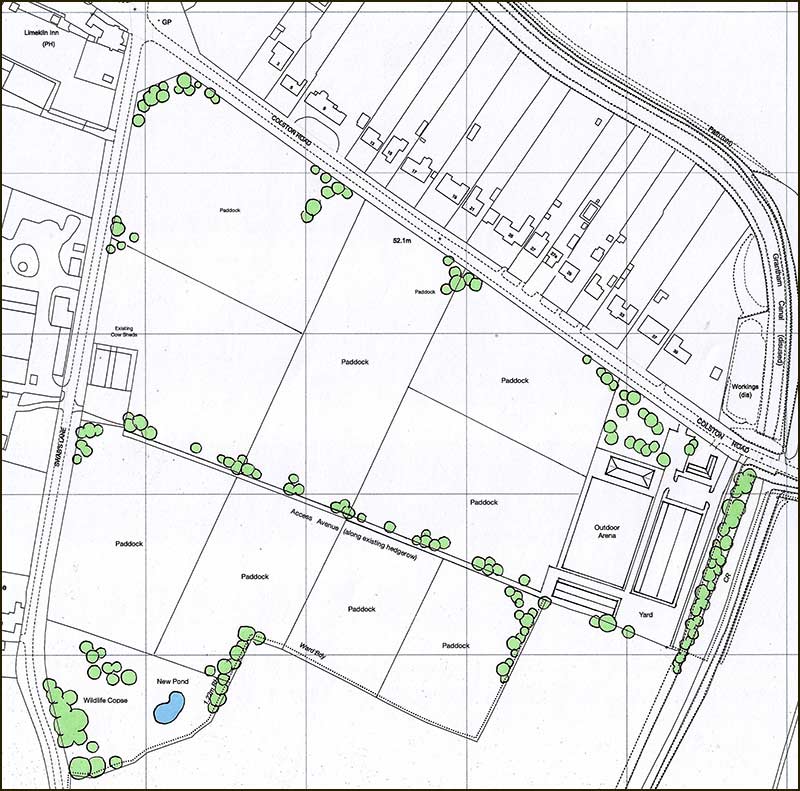
The southerly view from these houses has changed little since the demolition of the old lime kiln (not the pub) in the 1980s, but it is likely to change in the next year or two.
A planning application for a change in use of fields from agricultural to equestrian will result in cows being replaced by horses – which at least will provide new sounds for residents.
The plan is to construct a new riding centre for the disabled. New buildings are restricted to the area beside the canal where buildings have stood for decades.
Over the last 80 years, there have probably been fewer changes to the appearance of this side of the village than anywhere else. A 90-year-old who left Cropwell Bishop the village when they were 10-years-old, would probably be least shocked by changes if they approached from the Colston Road direction.
Is this a good or bad thing, I wonder. Well, if you consider how much the world has changed since 1940 in terms of industry, energy, communications and education, then you might say it is amazing that things can look the same.
Of course, outside appearance is only skin deep (can we say that about a building?) and on the inside everything has changed, both inside buildings and in our heads.
Colston Road itself, will be here for ever – or until its name is changed again.
Thanks to Anne Terzza, Pam Barlow, Leon Terzza, Joan Terzza, Dot Wood and Jonathan Good for their help with this article.
Tony Jarrow
The Eastern End of Colston Road
In 2020