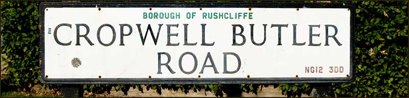
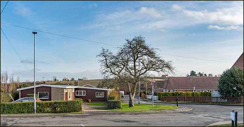
Cropwell Bishop Streets: 34. Cropwell Butler Road (17-02-21)

Why the Double Bend?
Almost all streets start and end at a road junction. It might be a T-junction, cross-road or roundabout for example, but there are always exceptions – even in Cropwell Bishop.
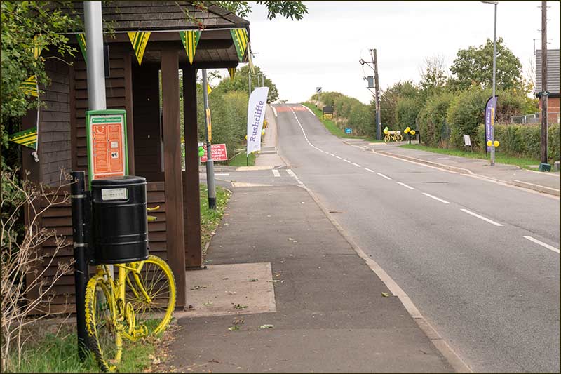
Driving round the bend at the foot of St Giles Way, feels like a continuation of the street, but no, you have entered Kendal Road.
A more heavily disguised name change occurs on Church Street. You drive happily down Church Street heading away from The Turn, then you come to a 90° left-hand bend: no worries, you are still on Church Street. Then a 90° right-hand bend – but this time the street name changes to Cropwell Butler Road.
There is a logic in this, after all, most roads leading out of a village have the name of the place they are leading to. Nevertheless, it could easily be missed by an unwary visitor or delivery driver.
I have long been mystified by the path of the road at this point, a sharp double bend for no apparent reason.
Since first reading the book, “The Making of the English Landscape” by W.G. Hoskins, I have understood that every bend, every junction of an old road, is there for reason.
It may be following the route of an ancient bridlepath, which itself followed the boundary of some field or boundary. A bend may have originally been to avoid a hill, a ditch, a big rock or a building – but there is always a reason.
So, there must be a reason for the double bend at the end of Church Street but, in spite of searching, asking and thinking, I can't unearth it.
The bend appears in the 1804 map, where no obstacle is apparent, and has been perpetuated ever since.
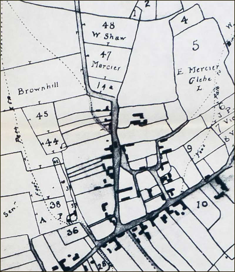
My best guess is that a stream or dyke was the obstruction. As recently as 60 years ago, there were several small streams flowing seasonally onto Church Street from the sloping fields on the western side.
One of them flowed down the path of Thurlby Close and then onwards to the bend (where the access road to the proposed new housing will be).
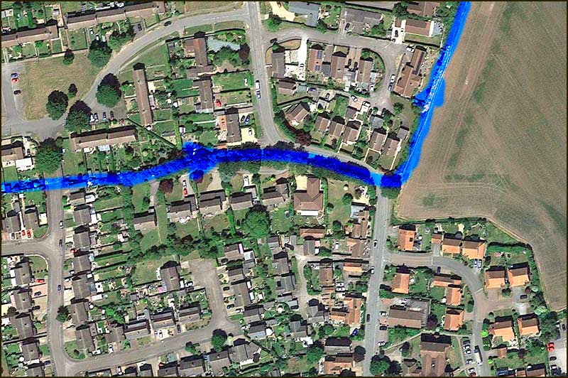
It could be that at this point on Church Street, a bridge, of sorts, was built and so became the safe place to cross this ditch. In which case, it is easy to imagine travellers coming from Cropwell Butler and, on reaching this ditch, turning sharp left down to the bridge and hence onto Church Street. This would explain the double bend.
But there are holes in this argument.
Imagine going in the opposite direction, crossing over the bridge from Church Street and heading to Cropwell Butler.
Once you had crossed the bridge, with open land ahead, the most sensible route would be a straight line: why on earth would you turn left, then right? And this would be just as true for farmers and carters as for individuals.
Remember, we are talking about a time when roads were often little more than wide tracks and there were no gas, electricity, sewage, or telephone supplies underground: rerouting a road would have been a relatively simple task.
So, it seems, the mystery of the double bend remains.
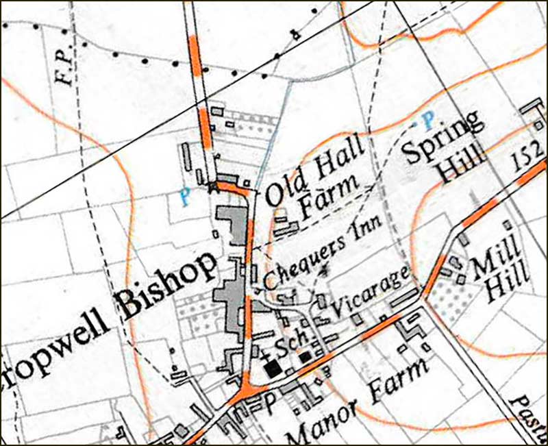
The Houses on Cropwell Butler Road
So, the naming of Crowell Butler Road is no mystery; it leads to our neighbouring village, Cropwell Butler.
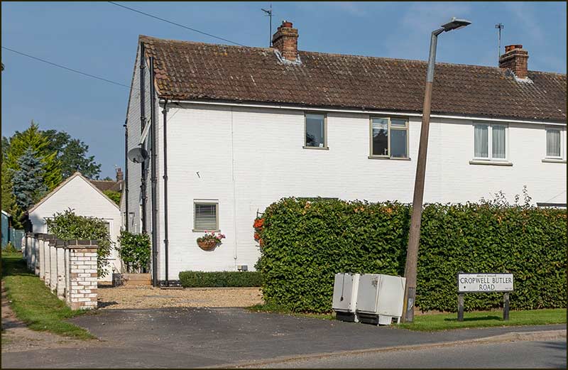
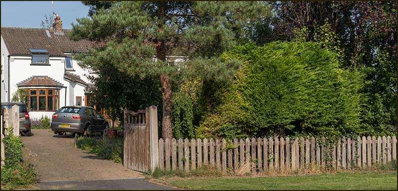
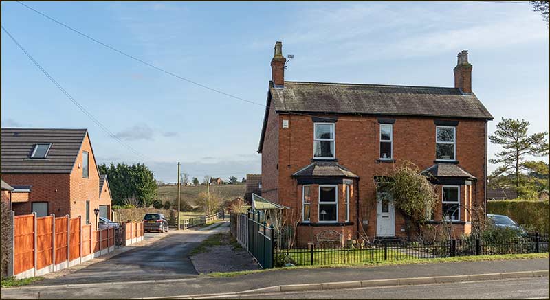
As you join it from Church Street, the line of substantial, white houses on the left stand well back from the road.
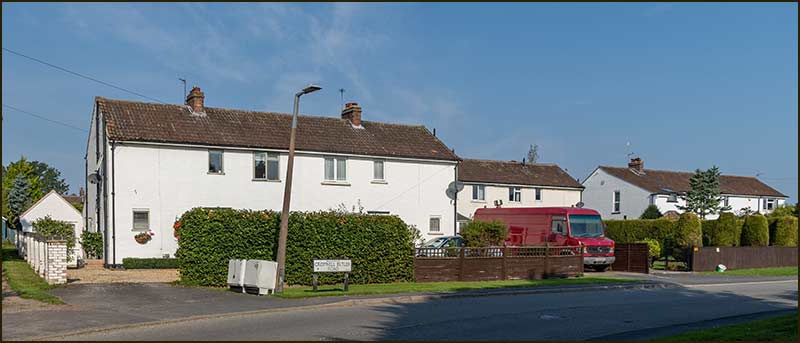
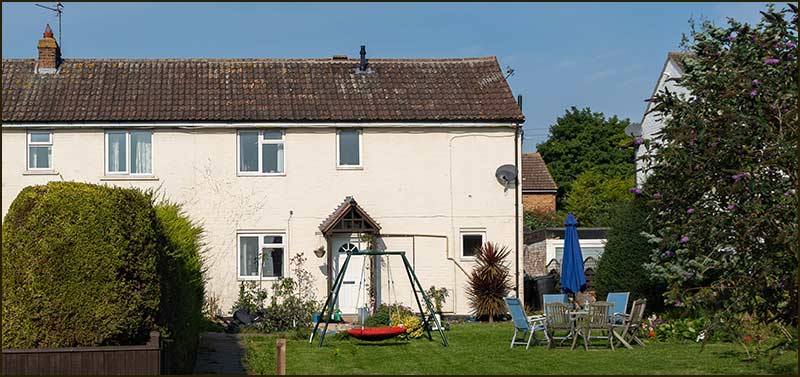
These six homes were built in the late 1940s for agricultural workers and are surprisingly large houses, set well back from the road, and on large plots. They were built at a similar time to the white houses on Fern Road.
At that time, they were the last buildings on this side of the road: Hoe View Road did not appear until several years later.
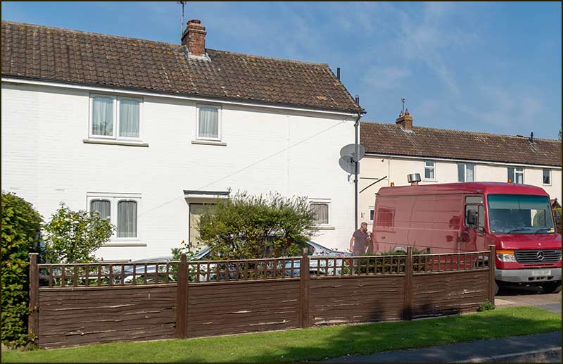
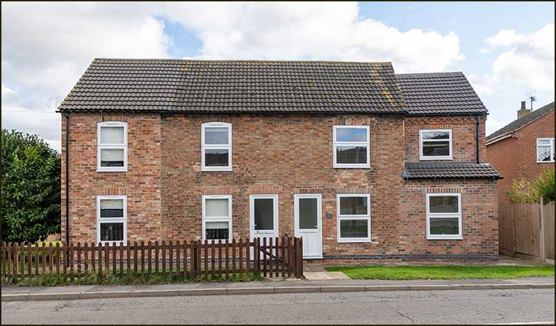
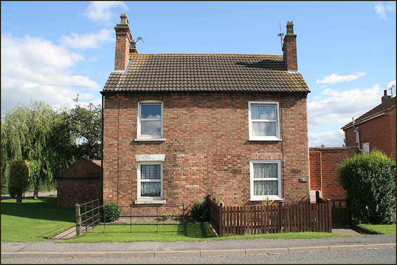
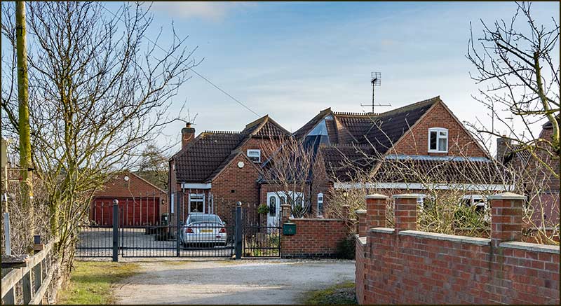
On the right-hand side of the road (after the house that belongs to Hardy’s Close) is a pair of semi-detached cottages that have been much enlarged and modernised during the 2010s. They are numbers 2 and 4 Cropwell Butler Road and ever since the original house was built in the 1900s, they have been known as Rose Cottages.
Looking ahead towards the open countryside, there appear to be quite a number of additional houses lining the road. However, most of the ones in view belong to the side roads: only three have a Cropwell Butler Road address. There are also some new ones that are out of view.
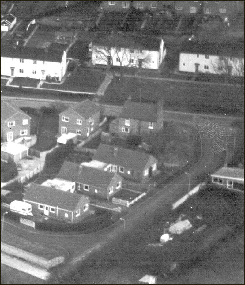
On the right is number 8. It is a bungalow on the corner of Hardy's Close. At first glance, it appears to belong to Hardy's Close but, the giveaway is its entrance which is onto Cropwell Butler Road.
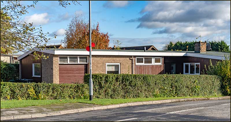
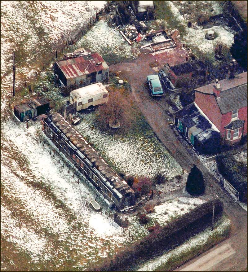
In fact, it was built before the other houses on Hardy's Close and a 1982 aerial photo shows it standing alone. It looks like it then had a long back garden which, now, is occupied by two newer bungalows, 12 and 13 Hardy's Close.
What happened to number 6, you may ask. Well, you may, but don't ask me because I have no idea.
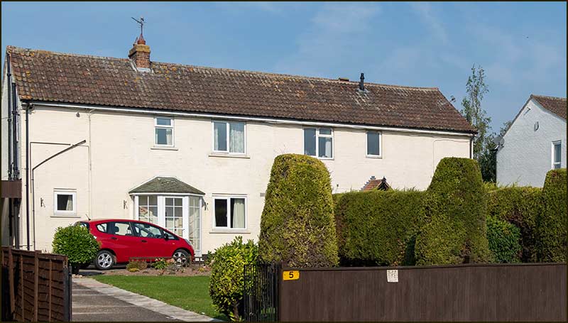
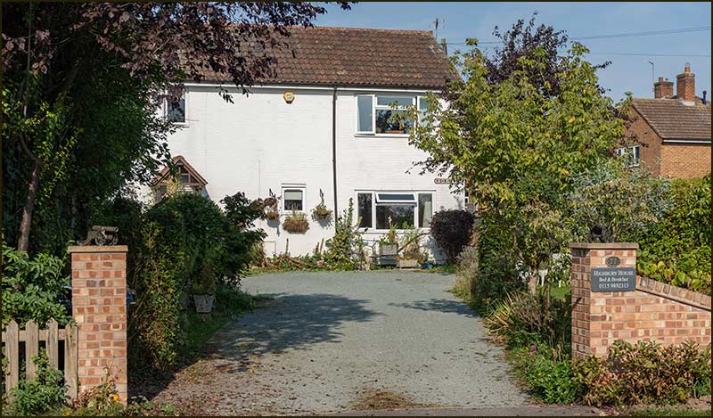
The next is a fine-looking Victorian house, number 12, which goes by the name, Rose Villa, as it has done for over a century. It was built in around 1900 and first occupied by the Clarke family for many years. Its front garden blends perfectly with the house.
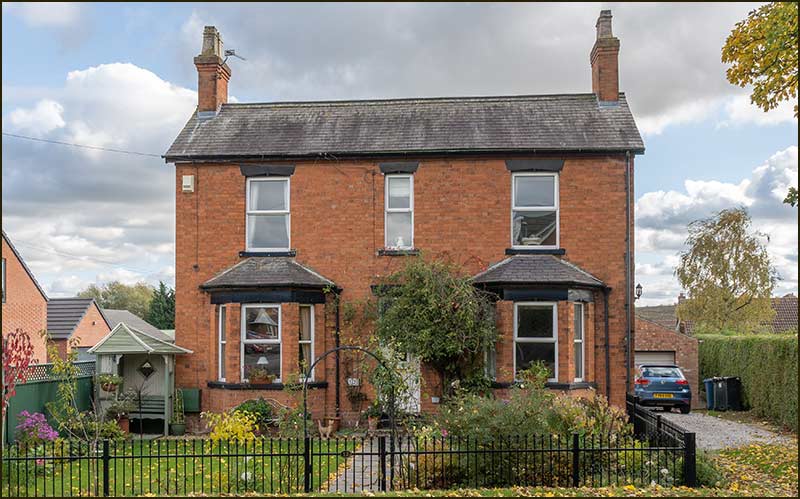
In addition to its back garden, Rose Villa originally had an orchard that went down to the stream that flows north – as shown in the earlier the map.
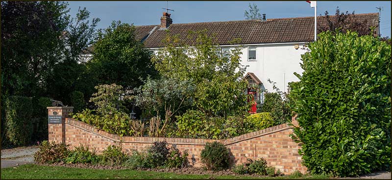
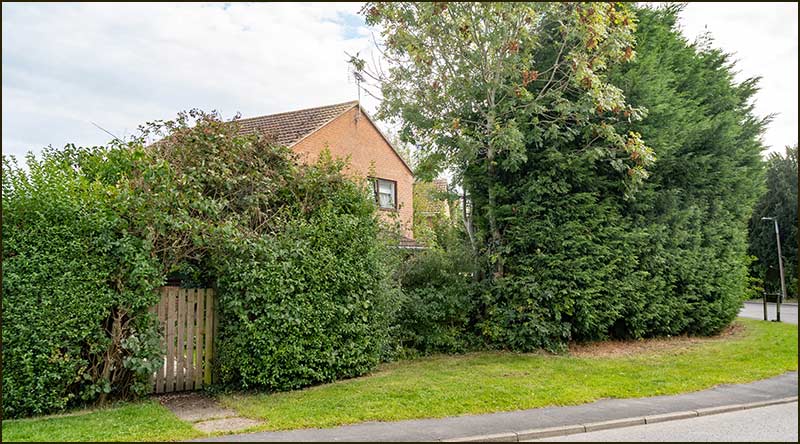
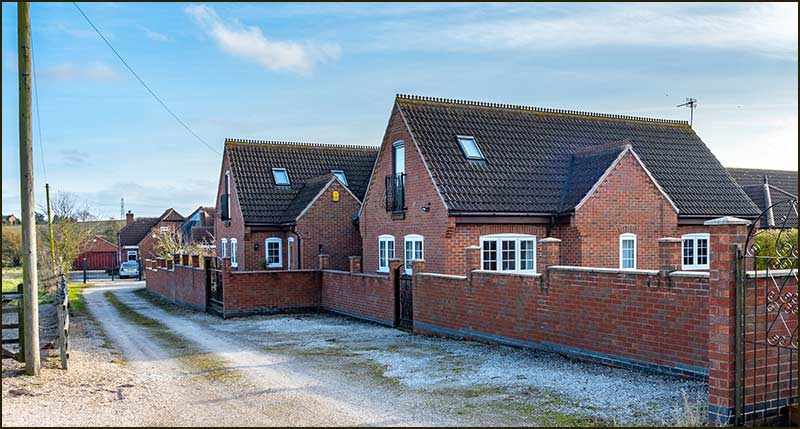
It was in the 1990s that the long garden and orchard were gradually turned into building plots. There are now two houses standing there, the first is 14 Cropwell Butler Road and the further one is 16.
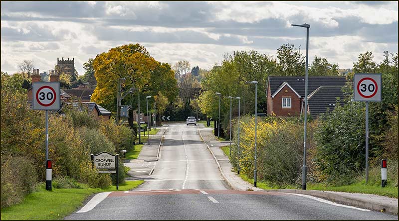
Up to 2010, Rose Villa and these new houses, were the last houses in the village along this stretch of road and the 30mph speed sign was close by. Then, in the 2010s, Barlows Close and then Shelton Gardens were built.
This effectively extended the village building boundary and the 30mph sign was moved further up the hill and lamposts were erected up to them.
The building of Shelton Gardens left a gap between it and Rose Villa – enough for a small house: this is where 18 Cropwell Butler Road was built in 2019.
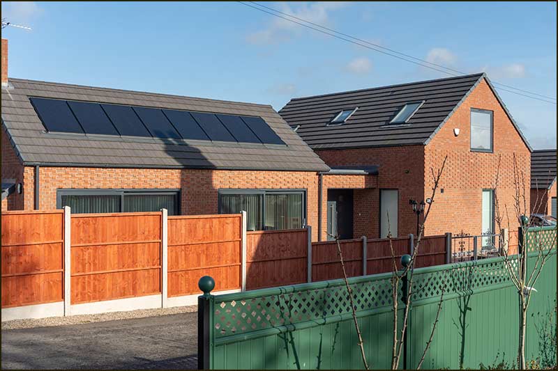
The private road, largely unsurfaced, which has its entrance between 18 and Rose Villa has no name, but the house numbers indicate that they all belong to Cropwell Butler Road.
Cropwell Butler Road is one of the shorter ones leading into Cropwell Bishop but what it lacks in size it seems to make up for in variety.
There are no mines to talk of, or mills to imagine, but the houses do have character. One that has stood for 120 years is next to one that has stood for just 2.
Even the agricultural houses look grander than others in the village that were also built during the 1930s. All the other homes are "one-offs".
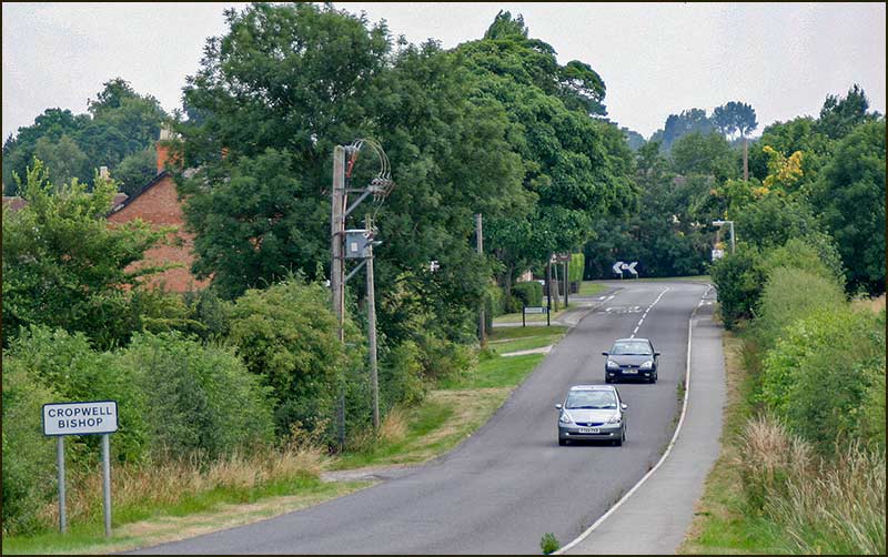
Driving down the hill from Cropwell Butler may force you to apply the brakes earlier than in the past, but that isn't such a bad thing. It leaves you with more time to look aside and appreciate the continually changing scene.
Tony Jarrow
Note:
Thanks to Anne Terzza, David Talbot and Pat Onions for their help with this article.
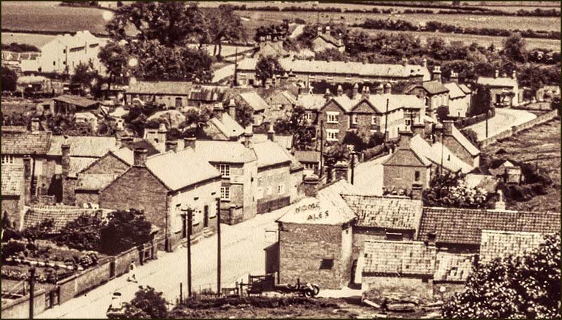
Earlier Times

Cropwell Butler Road in 2020 – More Photos