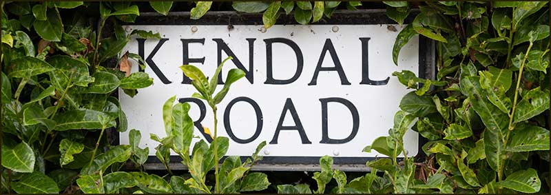
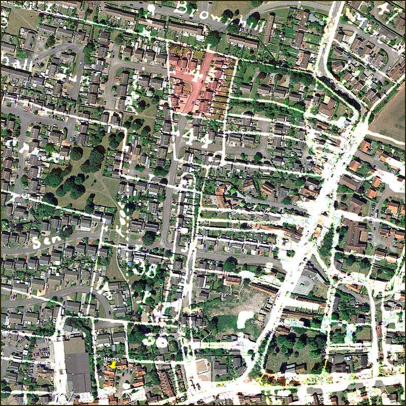
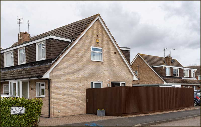
Cropwell Bishop Streets: — Kendal Road (21-03-21)
Kendal Road is named after a man. Like many streets in the village, the name comes from the 1804 Field Enclosure map which shows the landowners in Cropwell Bishop at that time.
However, the farmer's name was not Kendal but Kendall.
There are other streets in the village which appear to be mis-spelt, Mercia Avenue and Newberry Close being other examples, but I am inclined to think that the Councillors or Planners were deliberately choosing ‘easier’ names rather than aiming to maintain historical accuracy.
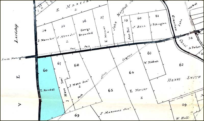
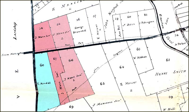
If we look at the 1804 map, we see that some of the land on which Kendal Road is built, was owned by Thomas Kendall. The field he owned was not large, only big enough to cover the the bottom third of Kendal Road.
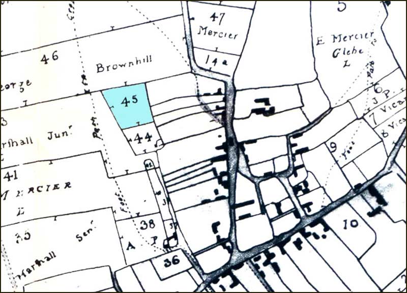
The field owned by Thomas Kendall is coloured pink.
The only other land he owned in the village, was a field beside the Fosse Way (A46) – where the garage now is.
Finding no history of Kendall families in Cropwell Bishop, led me to think that might have been a cottager who happened to have inherited a bit of land, and did not go on to have sons – hence the name died out. A reasonable assumption, but totally wrong.
The clue lies in the location of his field beside the Fosse Way, the border of the Cropwell Bishop Parish. Thomas Kendall never lived in Cropwell Bishop; he lived in Cotgrave – more specifically, Stragglethorpe. Nor was he a lucky individual with a few acres of grass for his sheep and a couple of cows. He was a major landholder in Cotgrave owning hundreds of acres – and his family connections were powerful and extensive.
Let’s look at Tom Kendall’s family history.

Thomas Kendall's family
Thomas Kendall was born in Long Clawson, which is quite a way from Cropwell Bishop, as far as Nottingham or Bottesford. It must have seemed even further in 1764, the year he married Cotgrave girl, Elizabeth Sanday.
Was it a love that flowered at some May-Day Dance at a village mid-way between their two homes – maybe Hickling or Kinoulton: I would like to think so, but I doubt it.
Tom Kendall’s father was probably a landowner and farmer in Long Clawson and the family of Elizabeth Sanday certainly was.
I am inclined to think that the coming together of the two families was more likely the result of comfortable farming families looking to the future. That is not to say that the couple were not thrilled with the outcome – their life together appears to have been fruitful in many respects.
The home of the Sanday family, and the now Tom and Liz Kendall, was Cotgrave, but all the historical evidence points to them all belonging to one particular side of Cotgrave; that known as Stragglethorpe.
Stragglethorpe was, and still is, the part of the parish north of the Stragglethorpe Road. In those days it accounted for about 20% of the area of Cotgrave Parish.
It was ‘fully enclosed’ in 1742 which is 50 years before Cotgrave itself was enclosed. In other words, its land was allocated to named landowners. Interestingly, that was just two years after Tom and Liz established themselves in Stragglethorpe.
Once Tom and Liz were married, they lived the rest of their lives in Stragglethorpe: they had 5 girls.
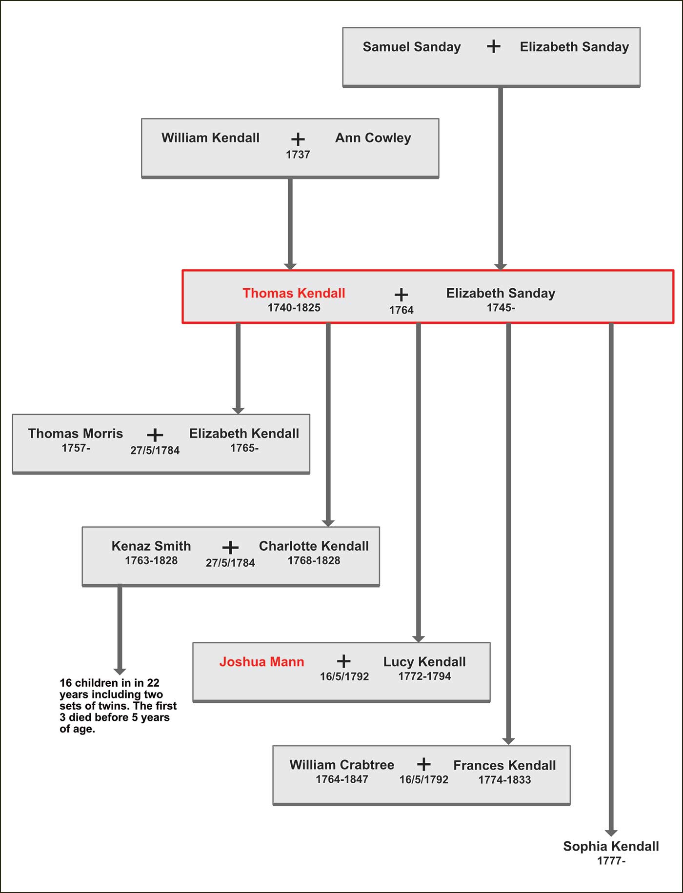
In 1784, their eldest girl, 19-year-old Elizabeth, got married at Cotgrave Church. So did their second eldest, 16-year-old Charlotte – at the same church on the same day.
Elizabeth married 27-year-old Thomas Morris, whose father owned 75 acres in Cotgrave: Thomas would go on to own land of his own in Cotgrave.
Charlotte married 21-year-old Kenaz Smith from Collingham, near Newark. They went to live at Kelham, near Collingham.
Charlotte had 16 children within 22 years – including two sets of twins. Most survived childhood and lived to old age.
Sadly, Charlotte died in 1828 when she was only 60. Kenaz, who was 65, died just 6 months later.
The May double-wedding that Thomas had arranged for his daughters must have been a success, because 8 years later he arranged another one on 16th May 1792. This time, for 20-year-old Lucy and 18-year-old Frances.
Lucy married Joshua Mann whose father owned 25 acres in Cotgrave. In later years, Joshua would own land of his own there – and it would a great deal more than his father.
Eighteen-year-old Frances, married William Crabtree on that same day. William was from a farming family at Colston Bassett. The married couple returned to Colston Bassett and lived the rest of their lives there. They had 3 children.
One wonders how those double marriages took place; did both couples walk down the aisle together, or did the weddings take place one after the other. I imagine they must have had one big wedding reception because Thomas could not have attended two at once.
It is worth noting that most these farmers that we have identified, also farmed land owned by others – often very wealthy absent landlords, or the Church. For example, in 1790, it is estimated that there were 3600 acres of farmland in Cotgrave and 2450 were owned by Viscount Newark who, I doubt, ever dug a spade-full of earth in his life.
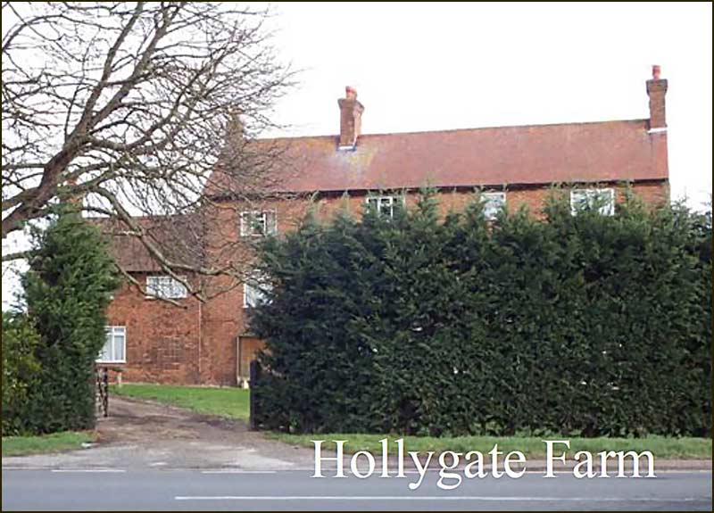
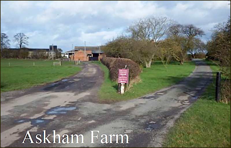
All the land in Stragglethorpe was owned by Viscount Newark (later called Earl Manvers) and it was divided into 4 farms. In 1790, we know that 3 of them were being farmed by members of the extended Kendall family. Joshua Mann lived at Hollygate Farm (then called Fosse Farm), Thomas Kendall at Askham Farm and the Sanday family at Dove Acres.
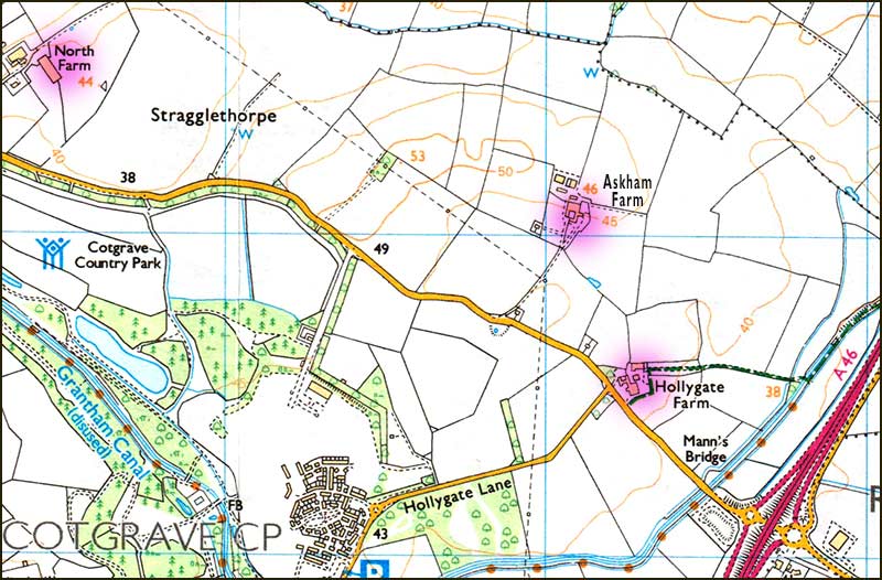
Hollygate Farm is the well-known house at the junction of Stragglethorpe Road and Hollygate Lane, and Askham Farm is a little further north of it, set far back from the Stragglethorpe Road. Dove Acres Farm no longer exists.
By the 1900s, Stragglethorpe was defined to include additional land south of Stragglethorpe Road, including the stretch alongside the Fosse Way that is on the boundary with Cropwell Bishop. As a result, Stragglethorpe is now 50% bigger than it was 250 years ago – not that this has any political significance today.
In 1801, after Cotgrave had been enclosed and the Grantham Canal newly completed, Viscount Newark published a survey of Stragglethorpe.
It revealed that two of Thomas Kendall’s son-in-law’s ran the two largest farms there; Joshua Mann 163 acres, and Thomas Morris 103 acres.
Interestingly, Thomas Kendall no longer farmed there, even though he had once farmed over a hundred acres. The impression is that he passed the farm to his son-in-law.
Nevertheless, he did continue farming in Cropwell Bishop.
Thomas Kendall and Cropwell Bishop
If we look at the 1804 map of Cropwell Bishop, we see that Thomas Kendall and Joshua Mann owned fields on the western edge of the parish. To them, it would have been simply an extension of their lands in Stragglethorpe: it was just across the road.
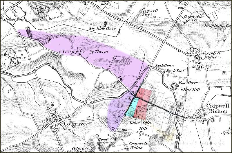
The Fosse Way (A46) is the boundary with Cropwell Bishop.
About a hundred years ago, Stragglethorpe increased in area to include the fields between the Grantham Canal and the Fosse Way.
Crossing the Fosse Way (A46) in those days would have been no problem: more chance of being knocked over by a badger than a stage coach.
We must remember that, at times, Thomas Kendall would also have had to travel through Cropwell Bishop to get to his other land, Field 45, where Kendal Road now is.
The survey of 1801 makes a telling point about Joshua Mann’s farm, saying: “this farm is extremely injured by the canal”: it cut right through the middle of it.
Precisely which stretch of canal is being referred to is unknown, but there are clues. The canal bridge on the Stragglethorpe Road, 100m beyond the A46, is still known as “Joshua Mann’s Bridge”.
Also, between this bridge and the Fosse Bridge, there is another bridge which is known as “Mann’s Swing Bridge” which is for farm access.
Discovering a link between these bridge names and the people we have been investigating, makes the 200 years gap feel smaller.
Now, there is a mystery about Thomas Kendall’s life that I have not been able to resolve.
I came across a copy of his 'last will and testament'. In it, he makes several references to his wife. But he calls her Mary (not Elizabeth) and refers to her family in Derbyshire (not Cotgrave).
And there is another mystery. Records show that Elizabeth gave birth to her 5th daughter, Sophia, in 1777, but I have been unable to discover any trace of Sophia after that year: or Elizabeth.
I strongly suspect that Elizabeth Kendall died in 1777 giving birth to Sophia, and that she too died shortly afterwards.
Thomas would have been just 37 years old then, and with 4 daughters under 12, he would never have coped. I think he probably married very soon afterwards: it would have been in everyone’s interest for him to do so.
And I think Mary must have been that woman – in spite of me not finding any trace of her either – except in Thomas Kendall’s will. Thomas died in 1825 at the age of 85.
As we have seen, Kendal Road is named after a local man with lots of connections with Cropwell Bishop. Thomas Kendall was born in Long Clawson, had family connections with Colston Bassett, and lived just over the Fosse Way.
If he was able to return here today, he would not recognise Kendal Road, but he would be able to find his way here; the old roads, buildings and landmarks can still be recognised.
I wonder how we would fare if were to return in 200 years’ time.
Tony Jarrow
Note:
Thanks to Anne Terzza for her help with this article.
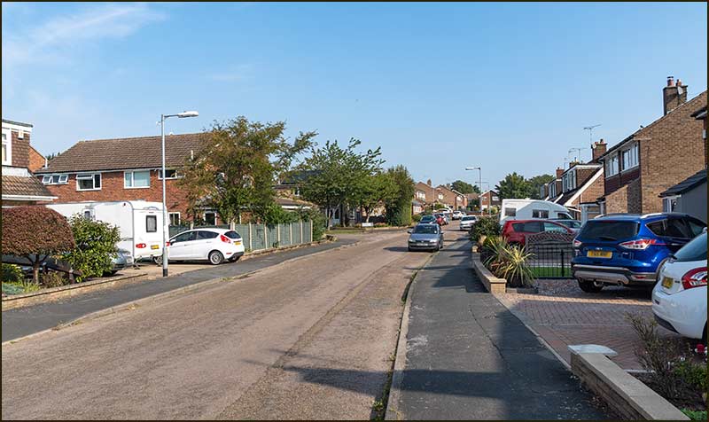
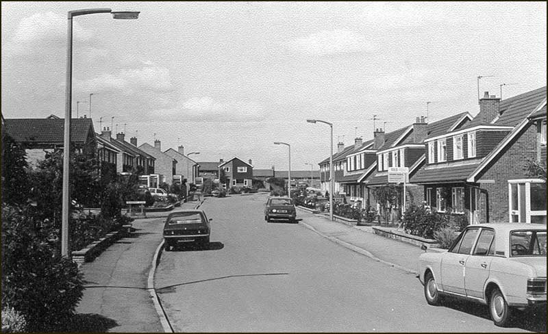
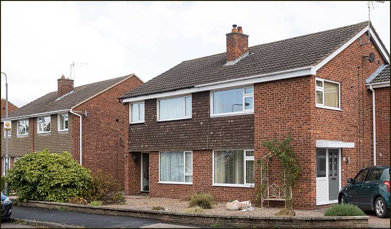
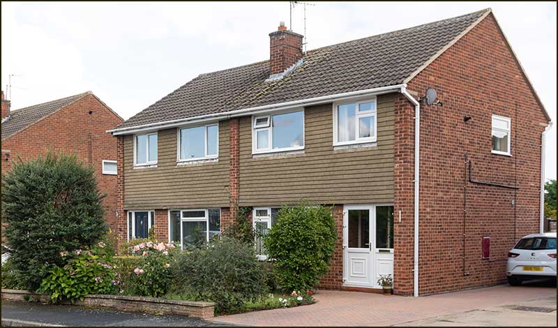
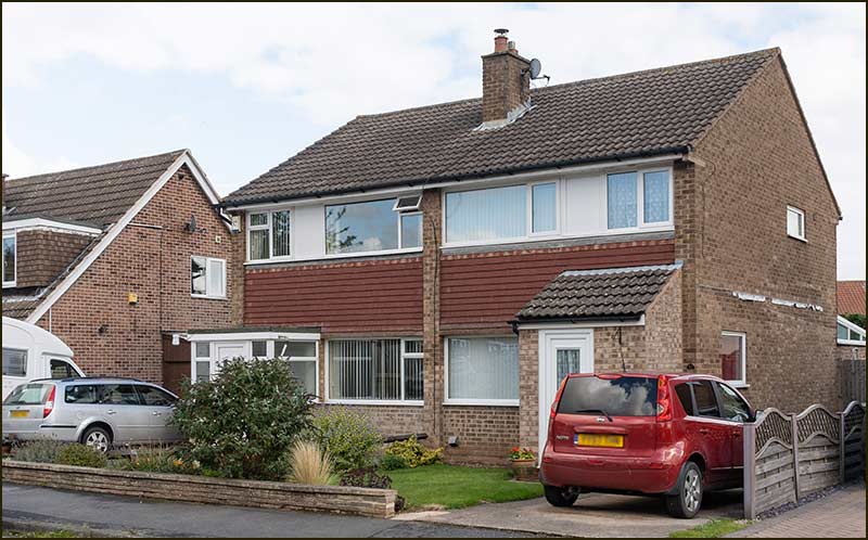
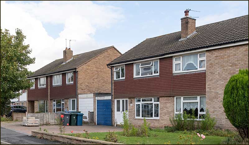
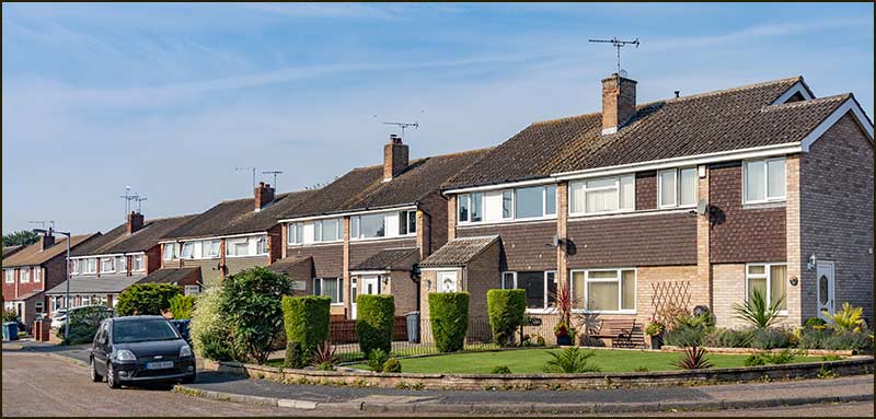
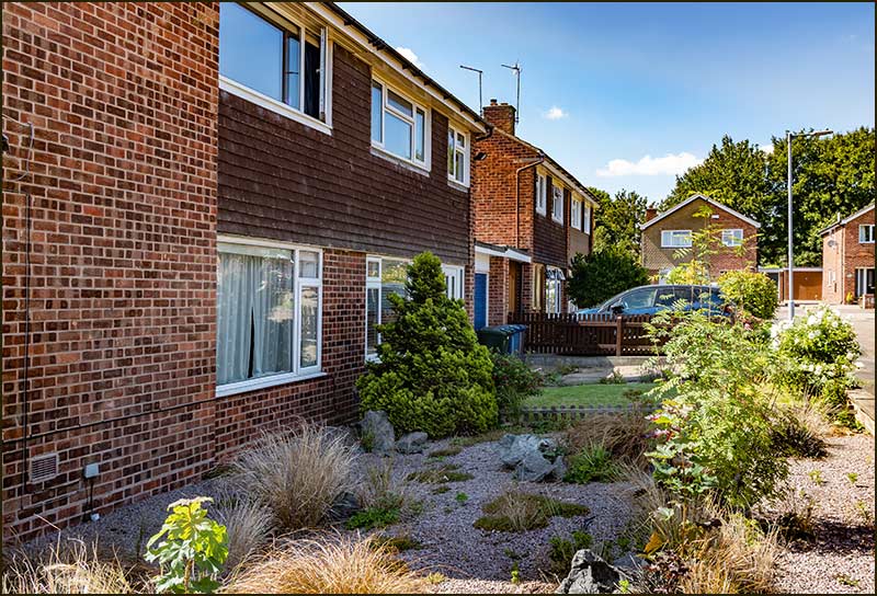
Kendal Road in 2020
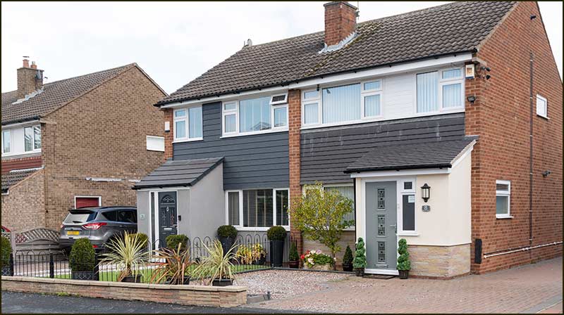
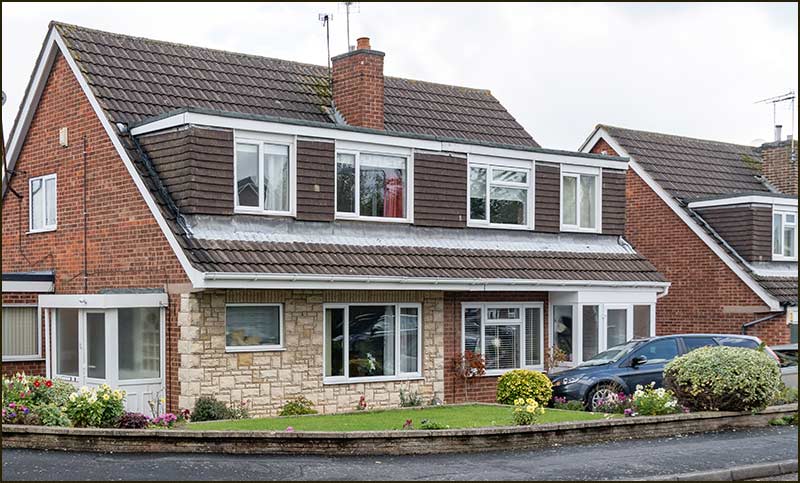
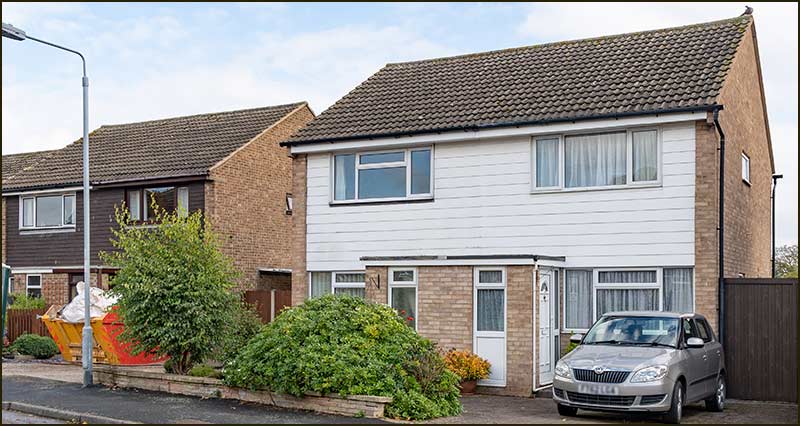
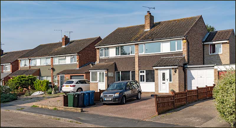
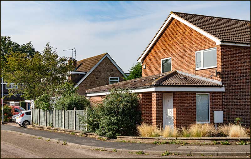
Here is another example which initially fooled me into thinking it belonged to St Giles Way.
Although its front door faces St Giles Way, its postal address is, I now realise, 1 Kendal Road.
Notice the newer brickwork on the ground floor wall: that is where the front door used to be, facing Kendal Road. (2021)