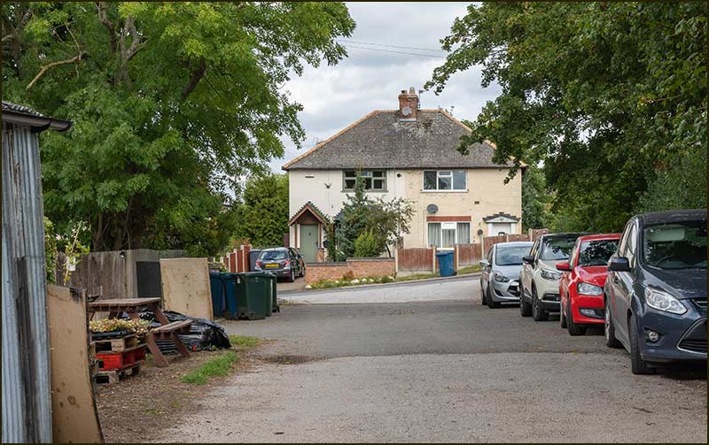
Blanche's Gorse (22-9-21)
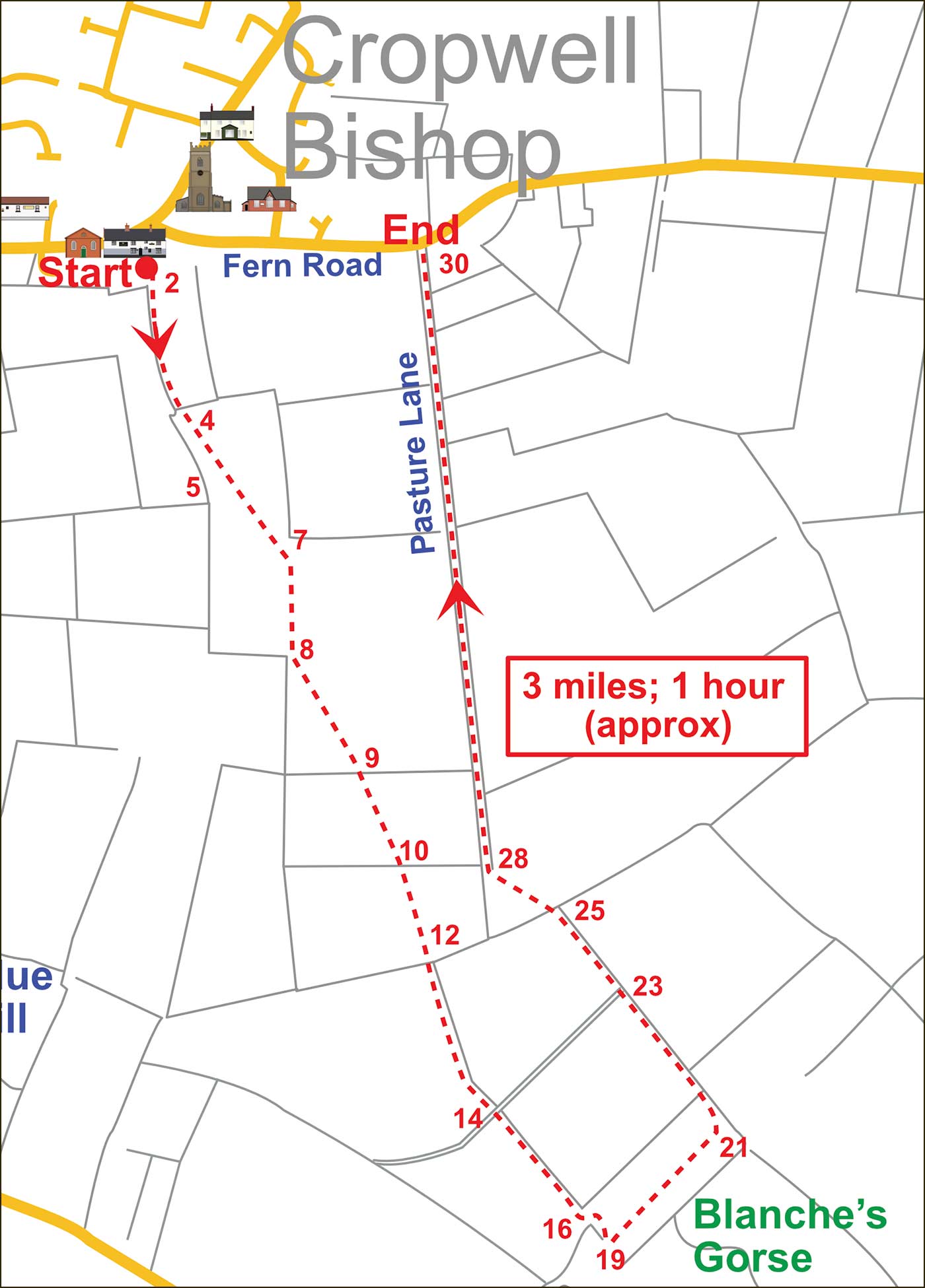
This is the second in the unfolding series of Cropwell Bishop Walks.
The numbers on the map, along the route, refer to the numbered photos below.
The walk is around 3 miles long and will take about an hour.
Tony Jarrow
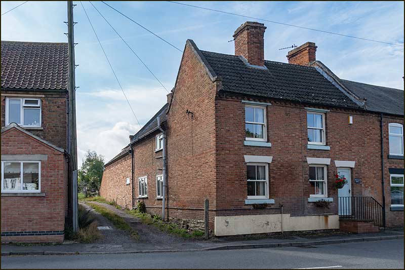
Walk through the gap between the houses, numbers 1 and 3 Nottingham Road.
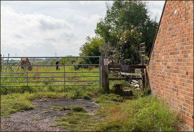
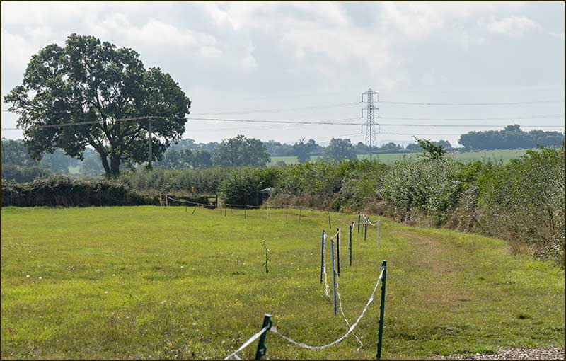
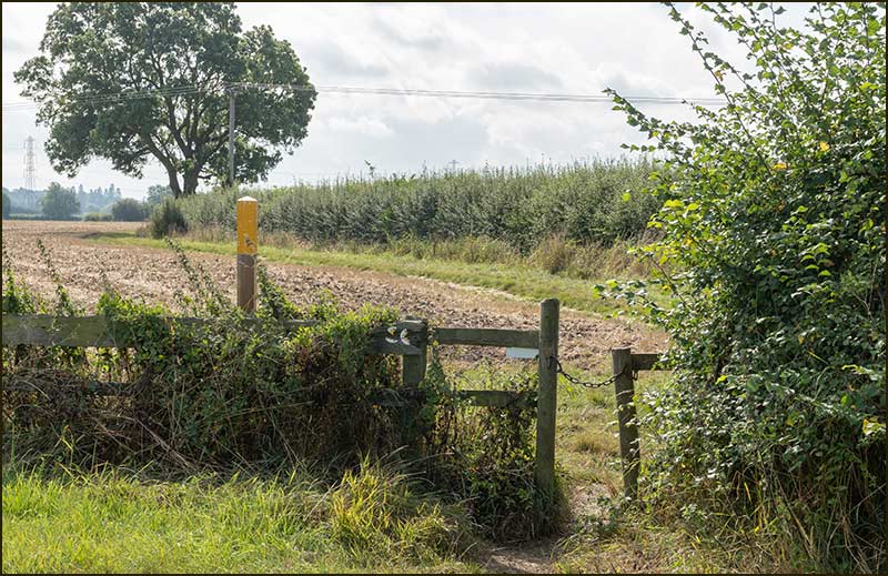
Before going forward, take a look at the map.
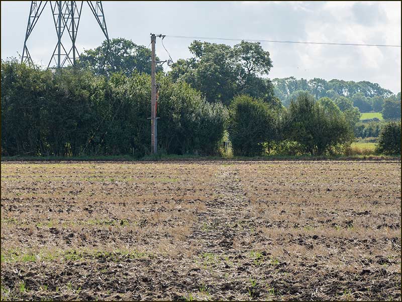
From points 4 to 7 on the map, the path is shown as going from this corner of the field, diagonally to a point on the other side, where the fence comes to an end. This route is the ‘right of way’ that has existed for centuries. However, it may well be that you can see no clear trodden path ahead of you.
Landowners are obliged to make these paths accessible: even after ploughing they are allowed only a few weeks in which to make them visible and walkable.
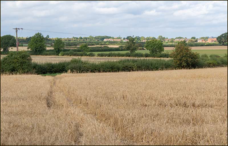
However, it sometimes happens that these visible routes are created in a slightly different place. With this in mind, I suggest you start by walking alongside the right-hand hedge, keeping a look out for a trodden path across the field. This might be one created by the farmer, or by regular walkers.
If by the time you reach the big tree in the hedgerow you haven’t seen one, now is the time to make your own way across the field. Aim for where the fence ends and open fields appear.
In difficult circumstances, for example when the land is waterlogged, you could instead keep walking alongside the right-hand hedge until you reach its end, and then turn left (don’t cross the footbridge) keeping the hedge on your right. This last stretch is not a right-of-way but I don’t imagine anyone will object, and it will bring you back on route.
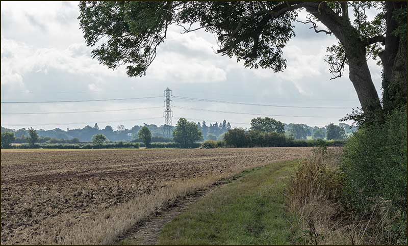
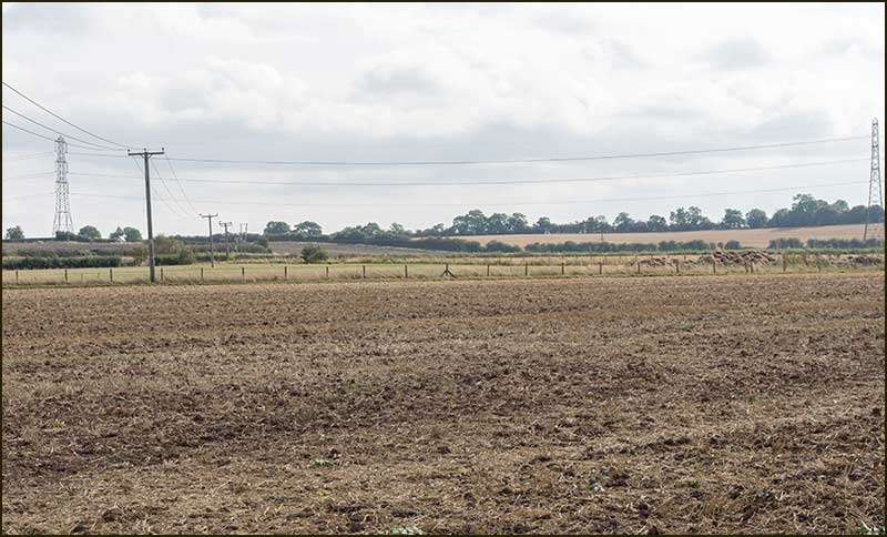
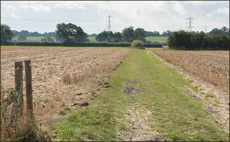
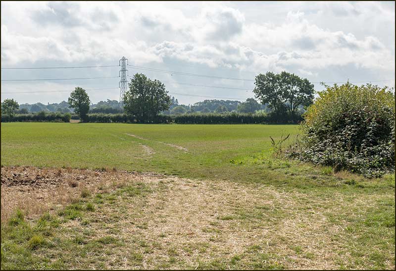
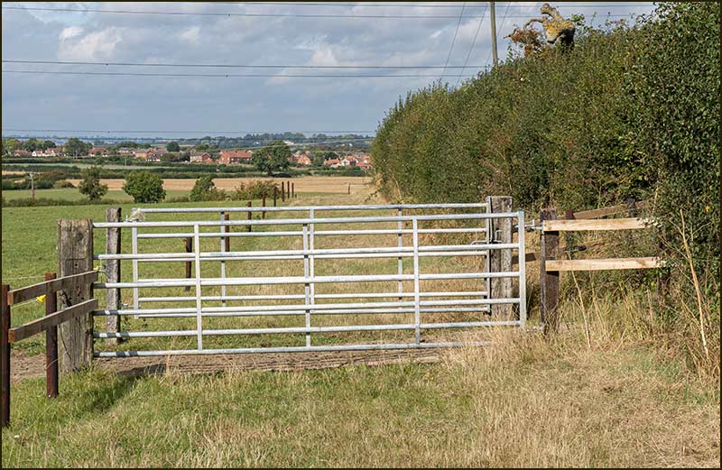
Your first target is the wide gap in the far hedgerow. The path is usually clearly worn by either feet or tractor tyres.
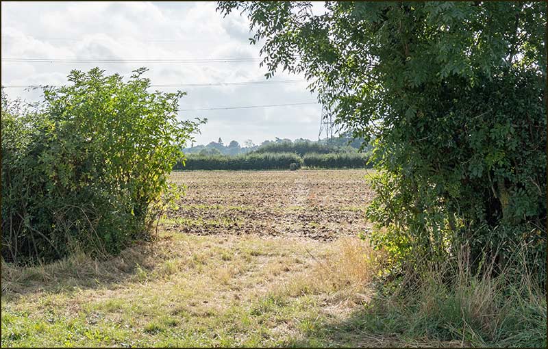
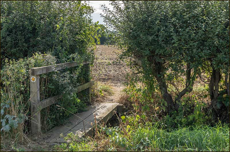
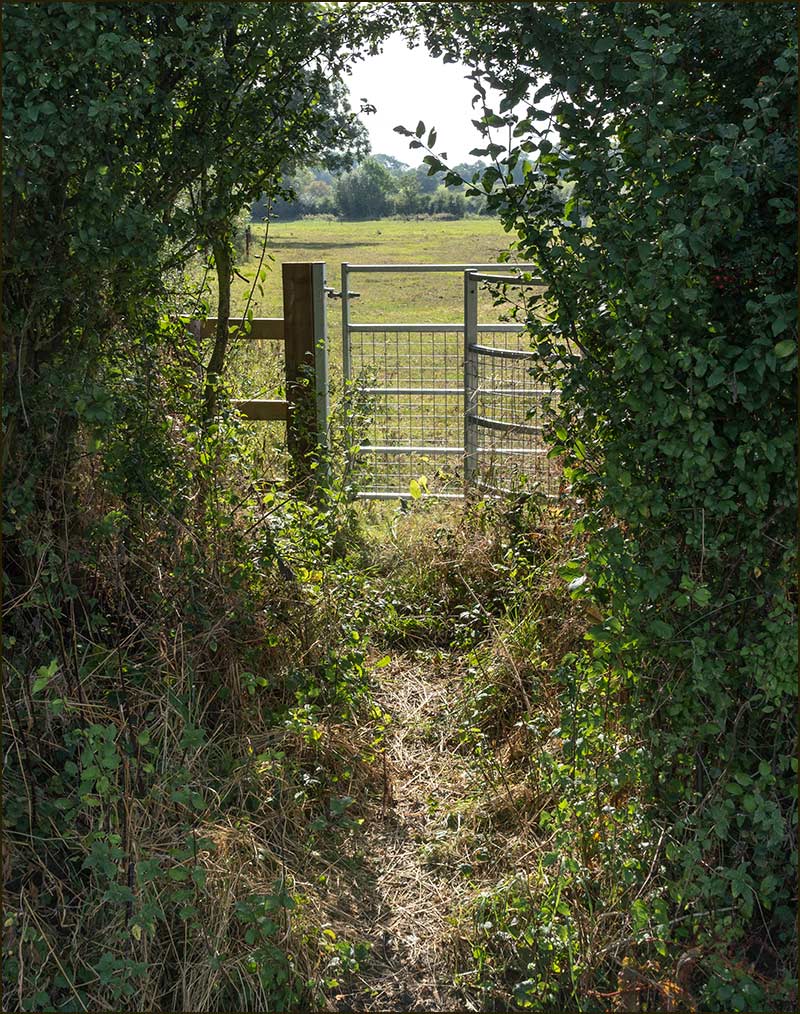
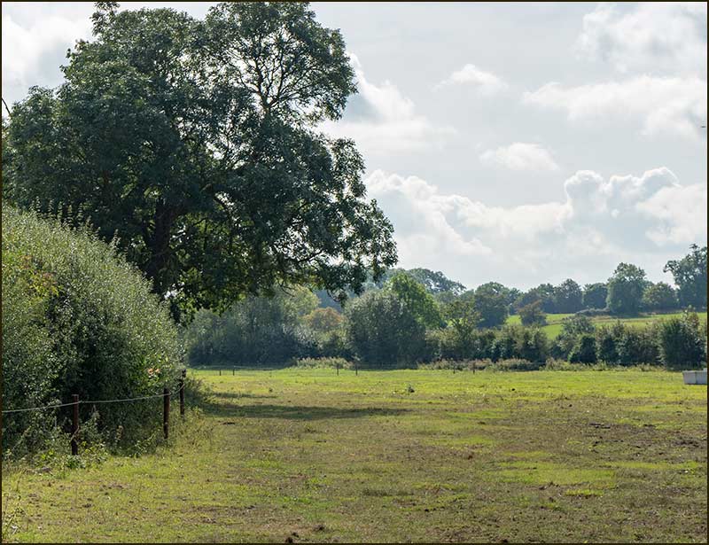
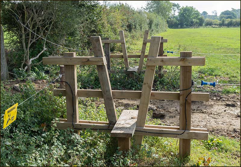
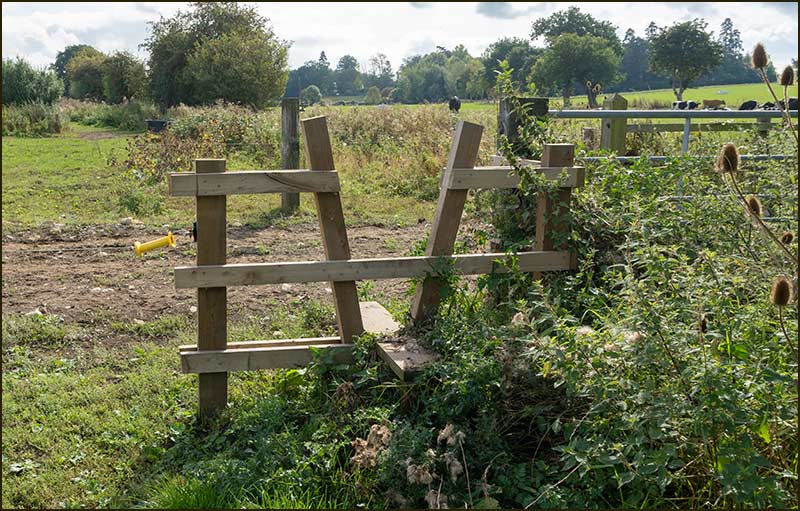
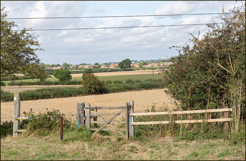
Having to contend with all these different stiles, puts me in mind of horses in show jumping competitions. Nevertheless, don’t hurry, there are no rosettes for you here!
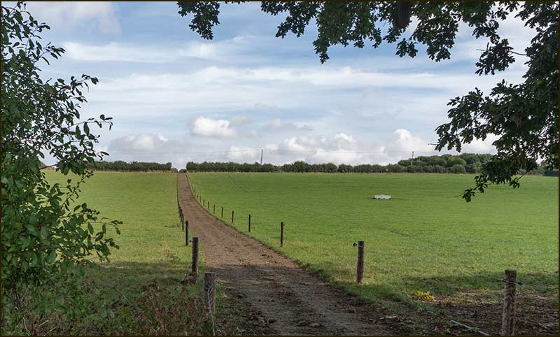
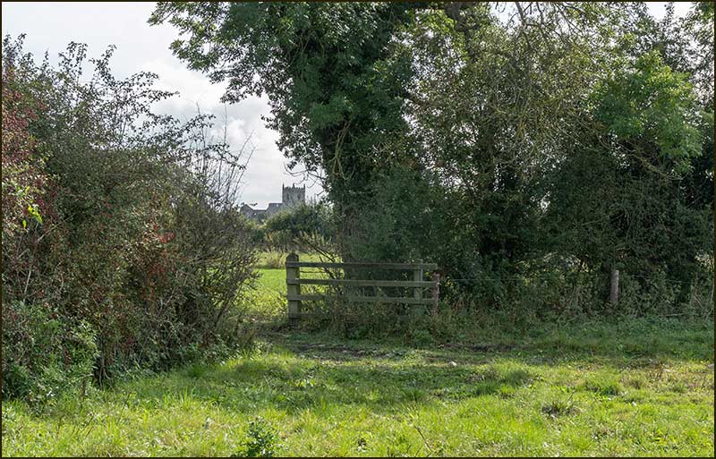
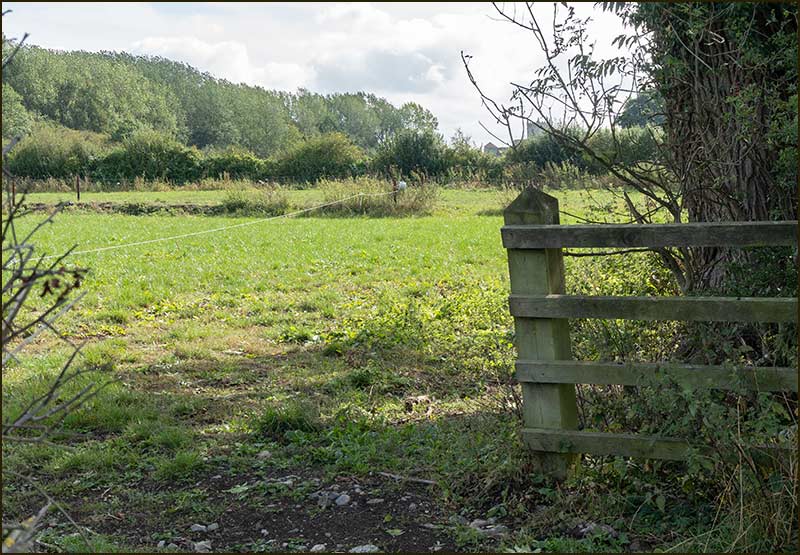
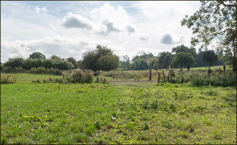
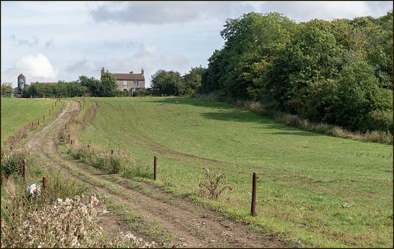
That wood on the right is called Blanche's Gorse: now you know where this walk got its name from.
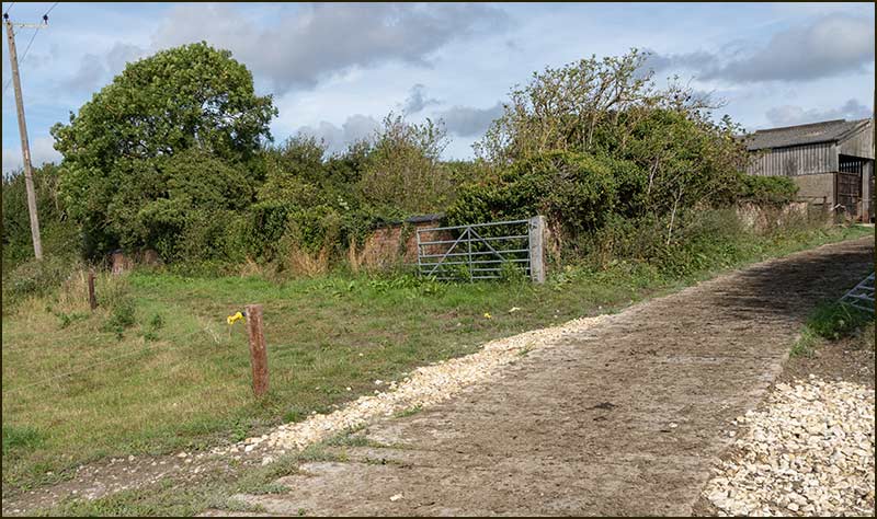
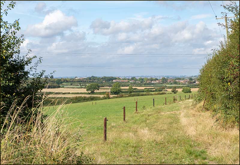
Much closer, you may be able to spot earlier sections of your route today.
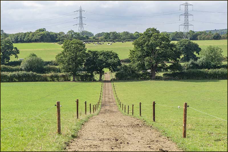
You are now heading home and, once again, electric fencing will stop you going astray.
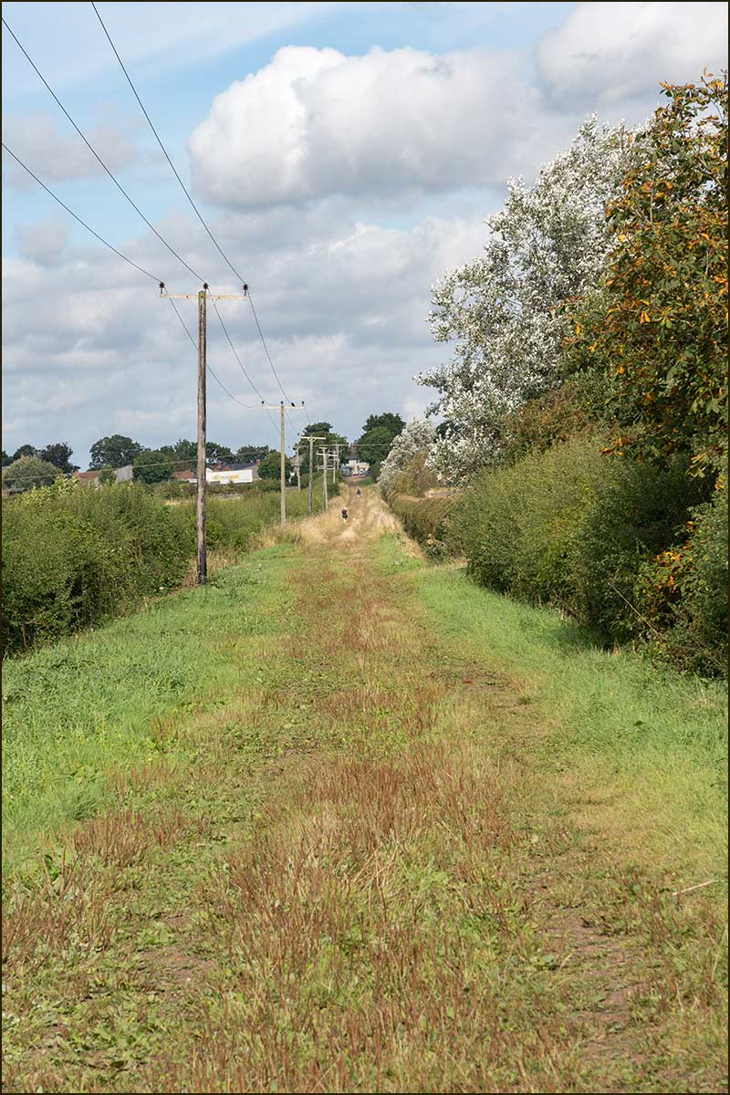
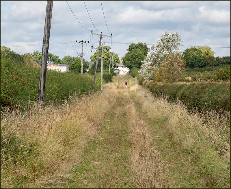
The Romans didn't establish this lane but they did occupy land around Cropwell Bishop. First Century Roman Broaches were found here in 2019.
