CROPWELL BISHOP STREETS: A – L

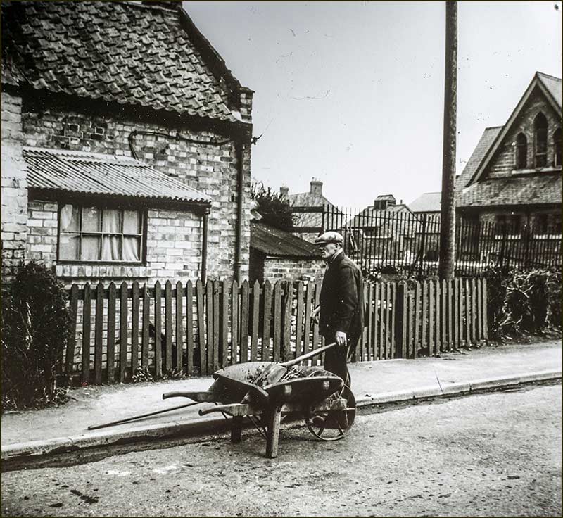
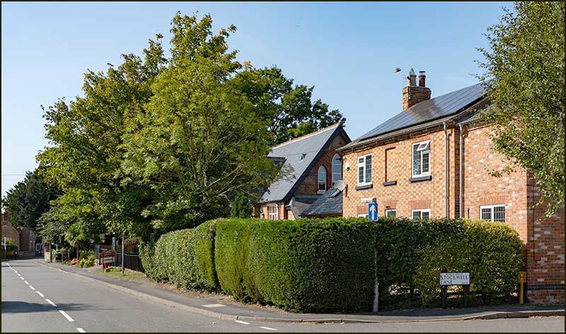
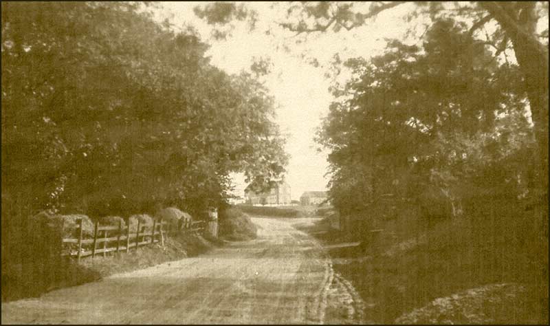
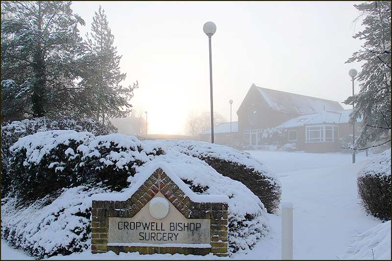
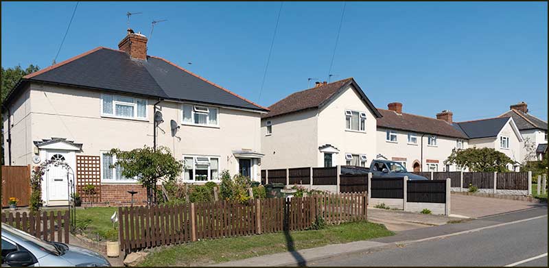
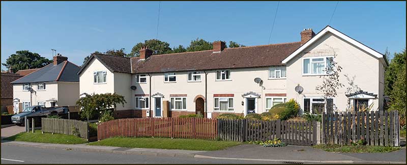
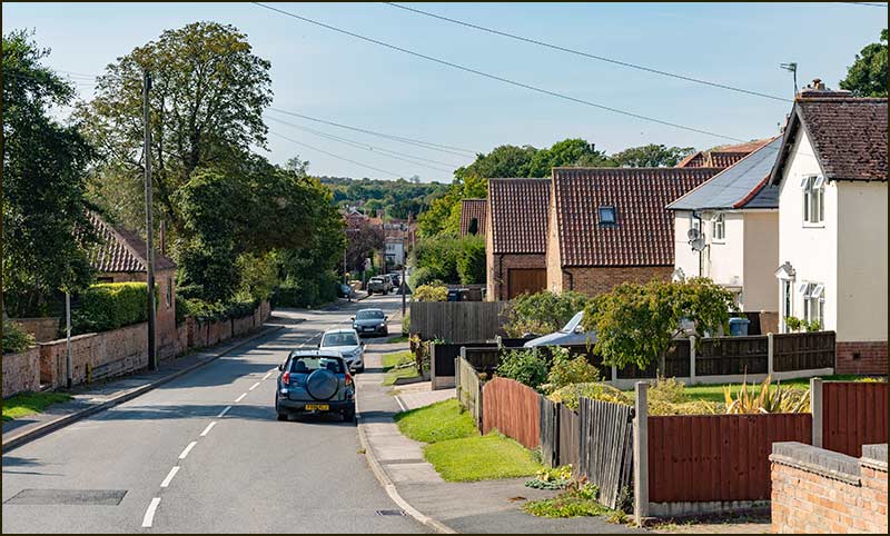
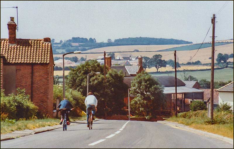
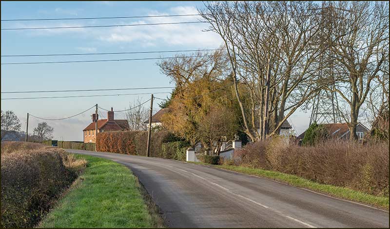
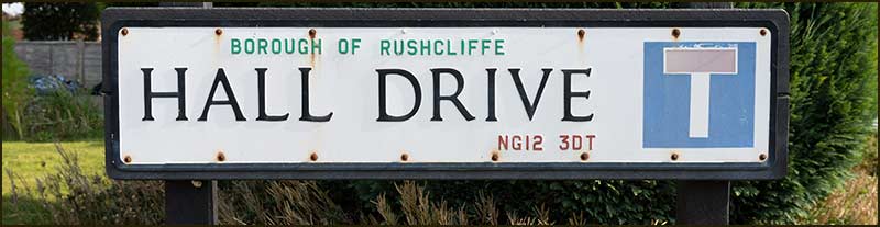
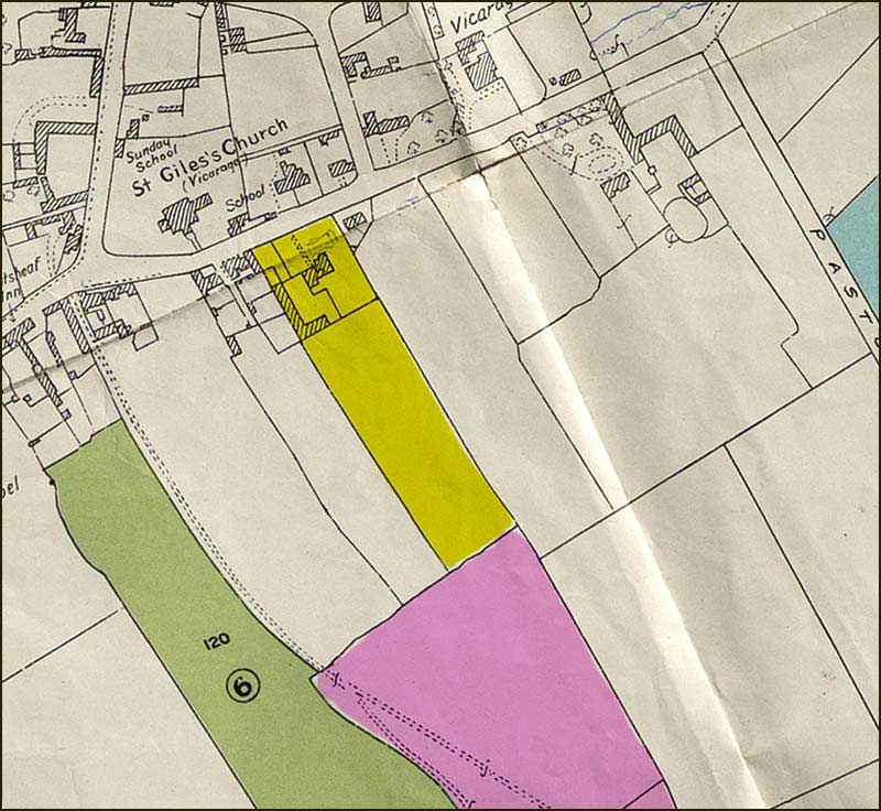
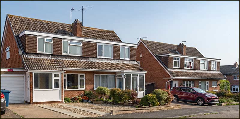
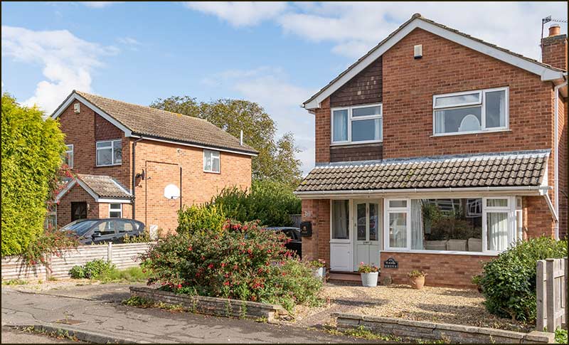
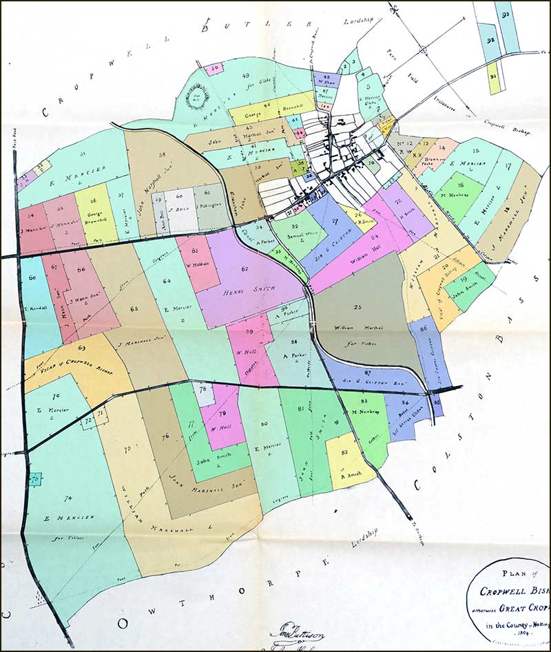
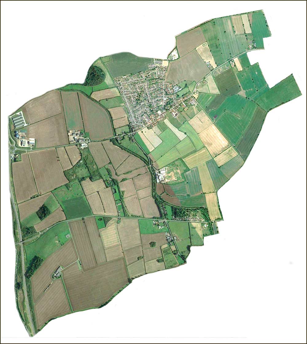
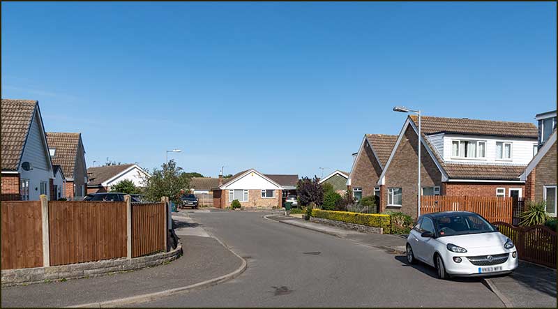
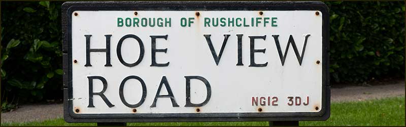
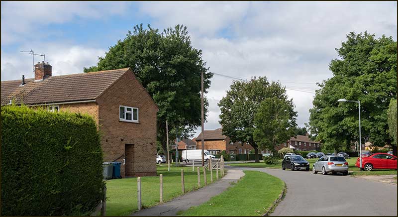
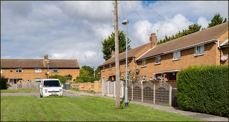
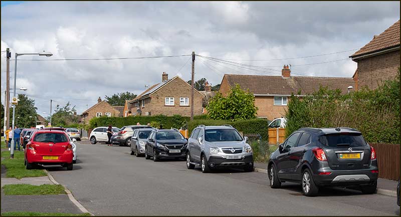
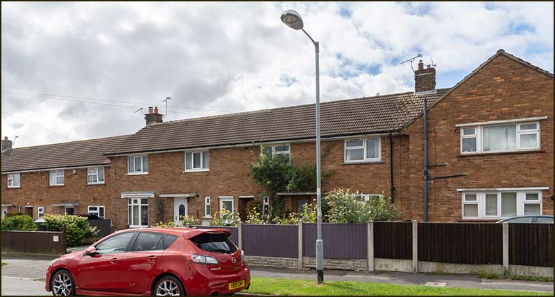
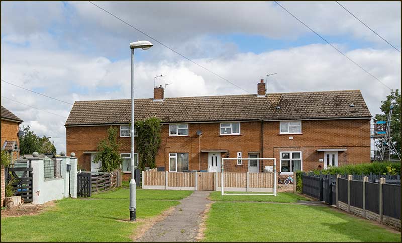
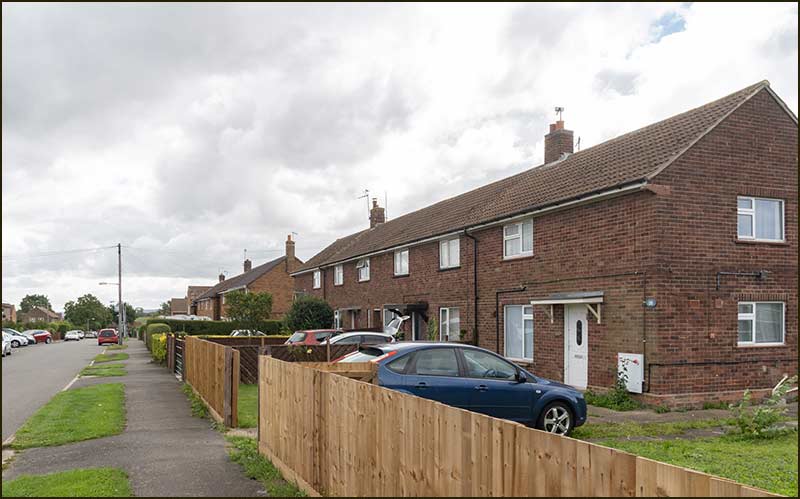
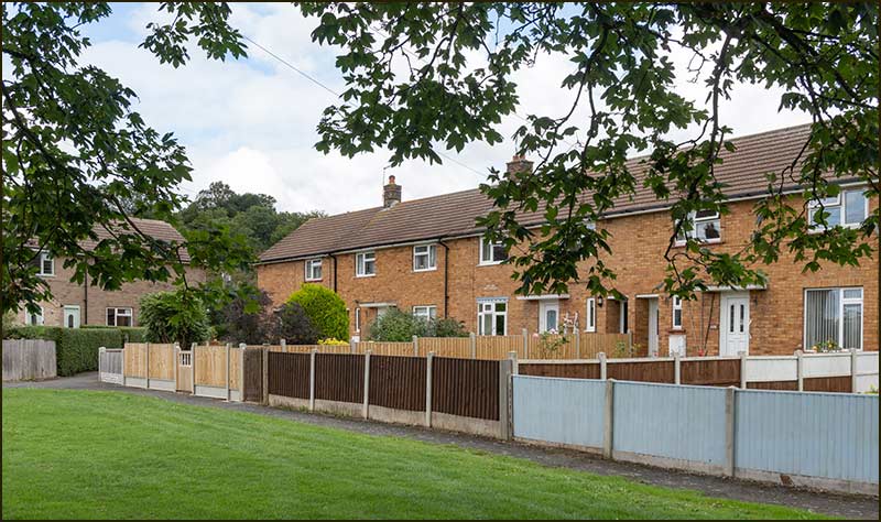
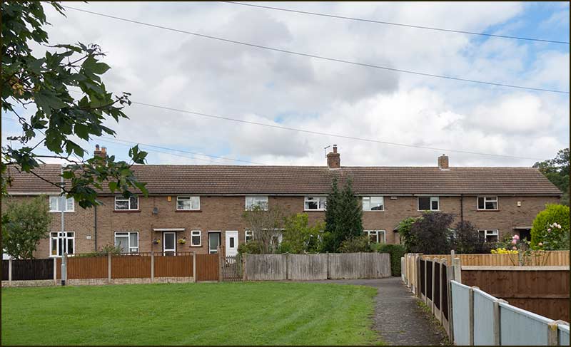
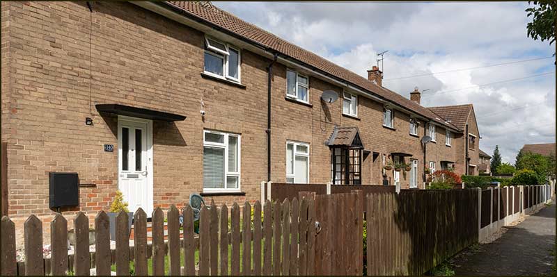
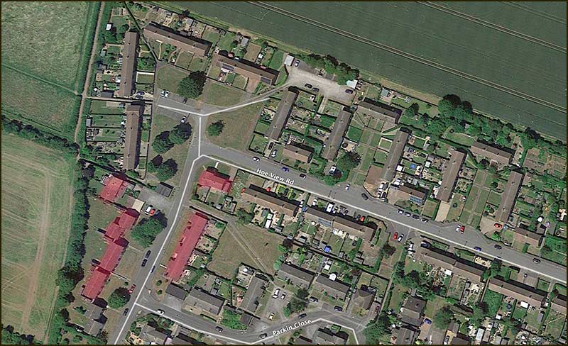
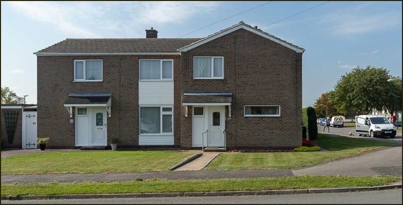
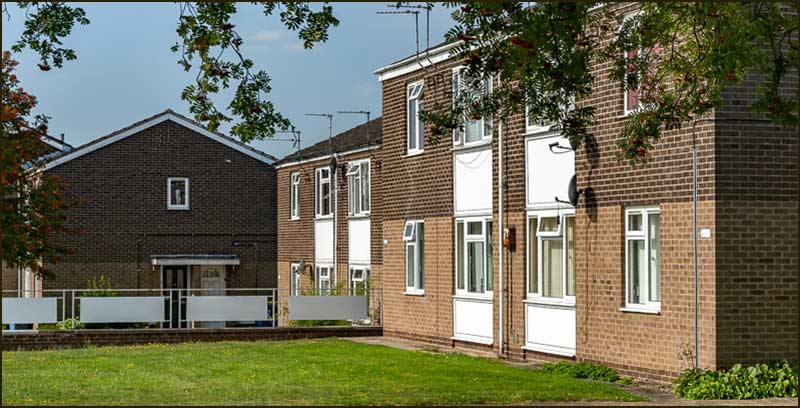
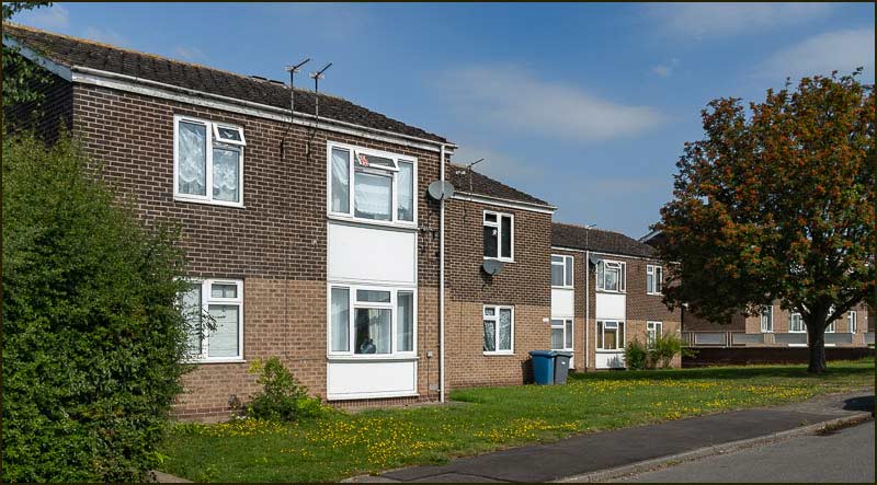
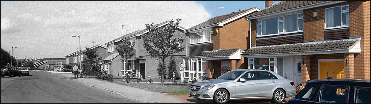
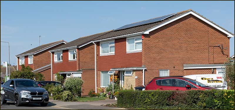
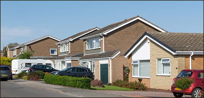
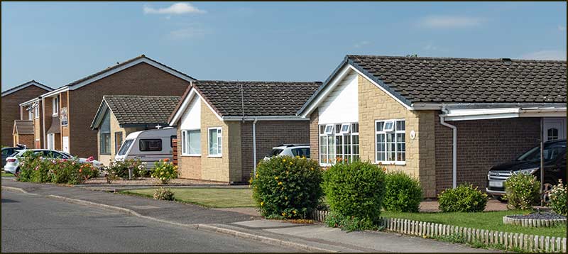
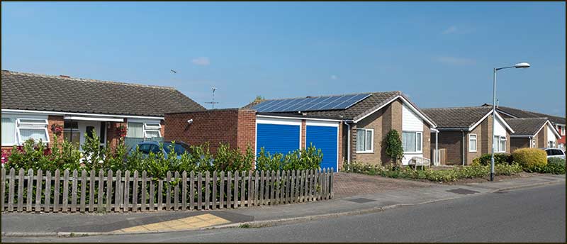
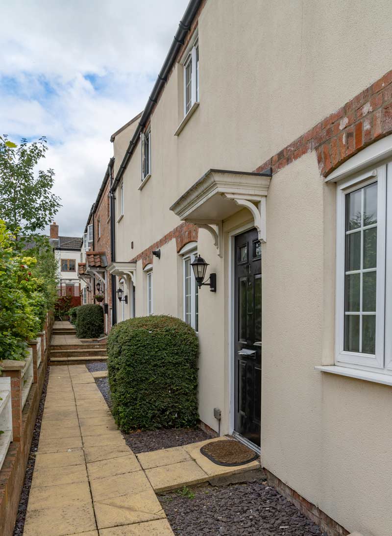
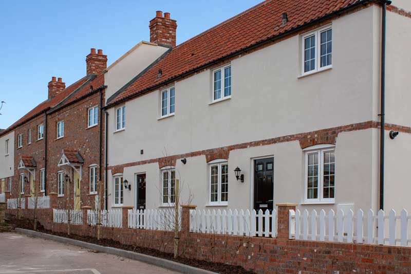
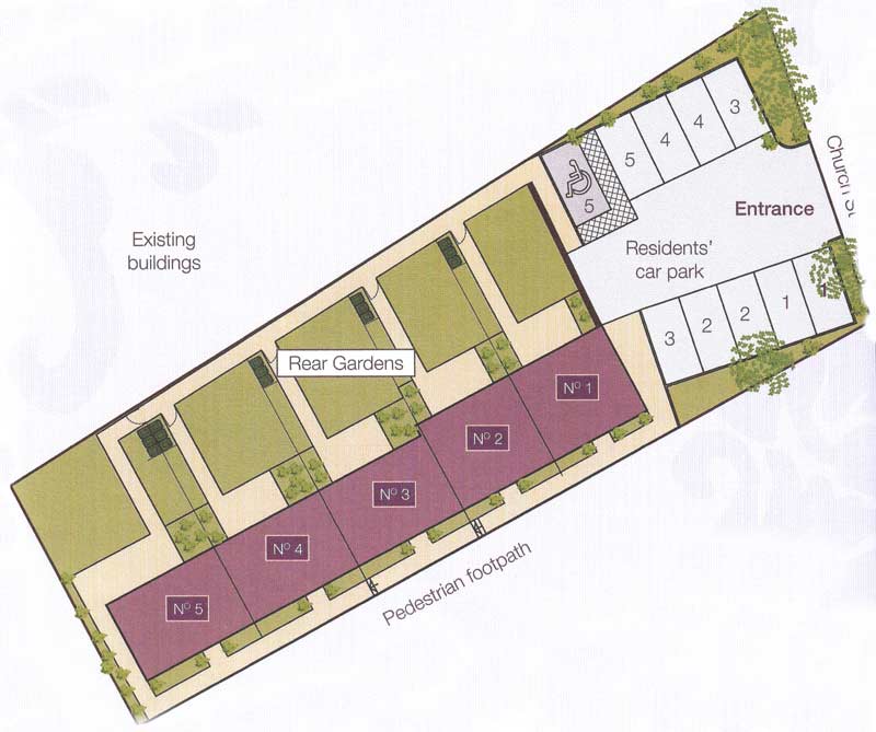
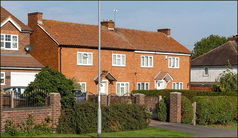
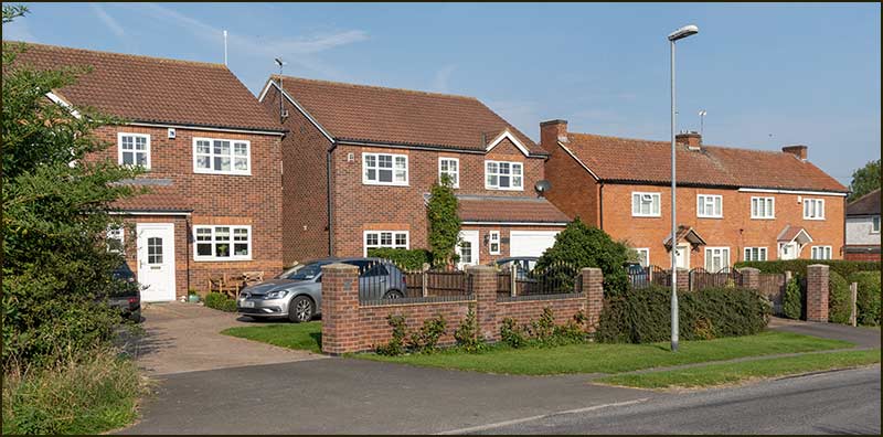
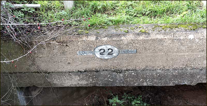
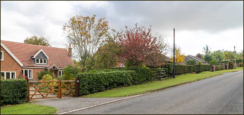
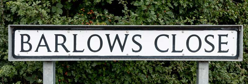
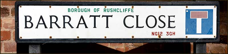
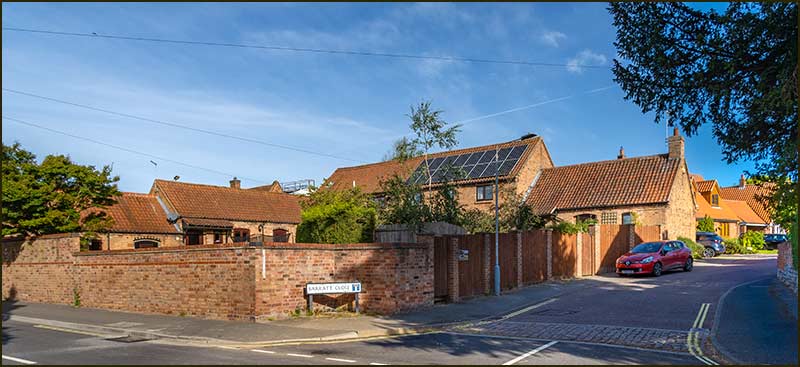
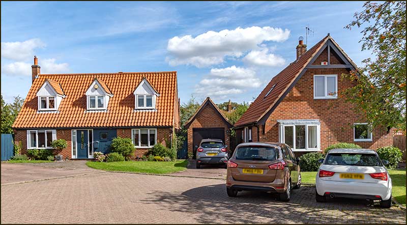
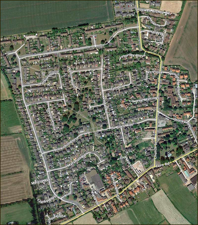
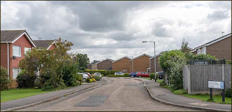
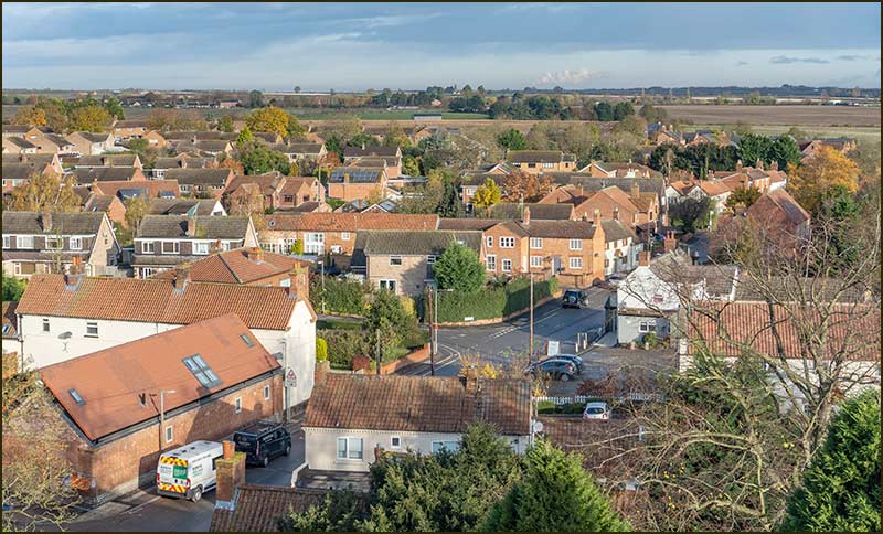
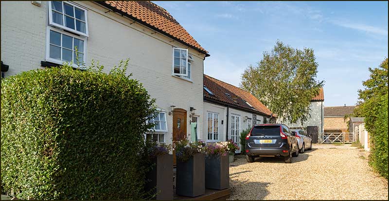
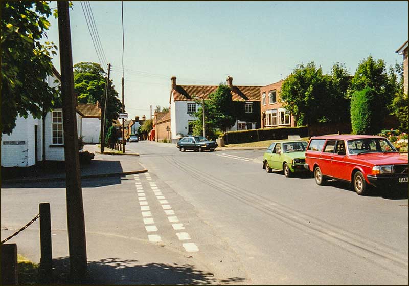
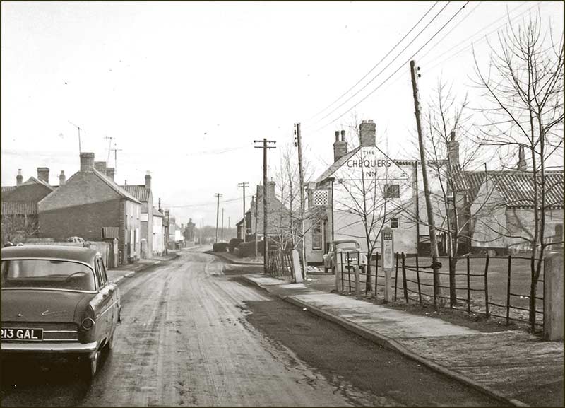
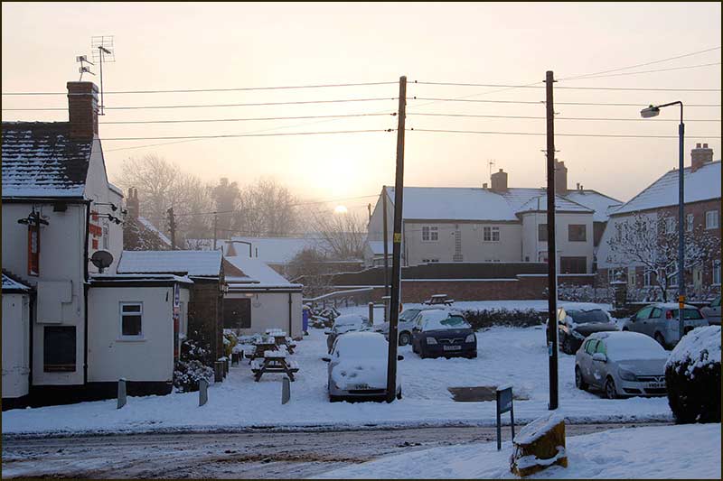
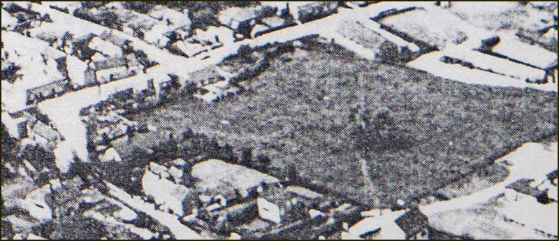
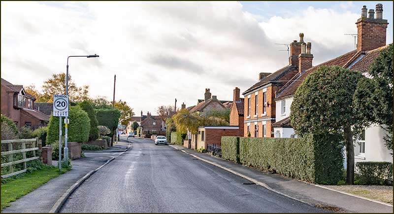
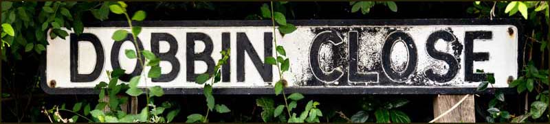
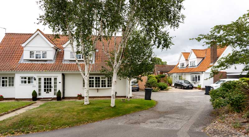
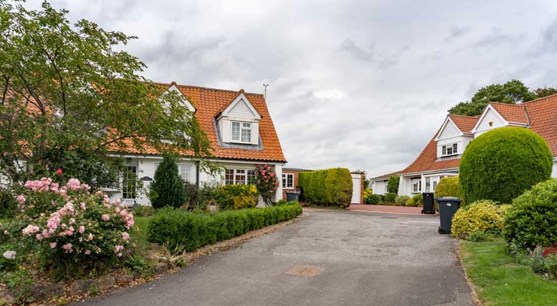
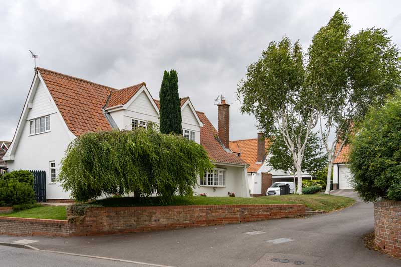
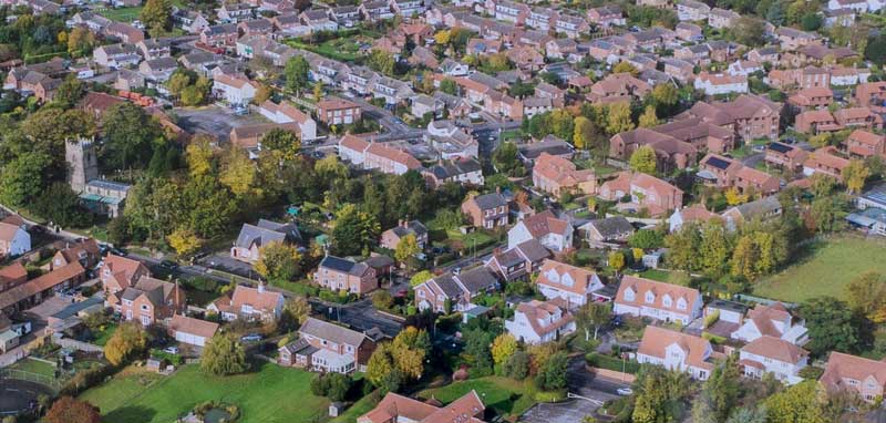
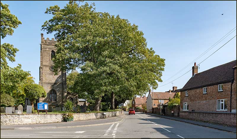
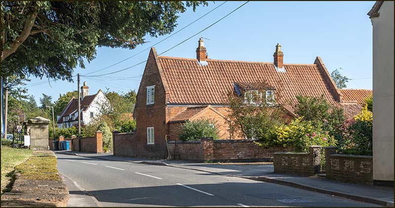
Cropwell Bishop Streets: — Barlows Close

Barlows Close

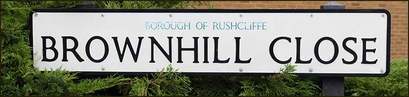
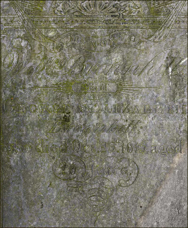
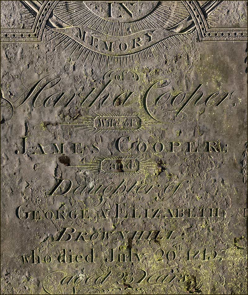
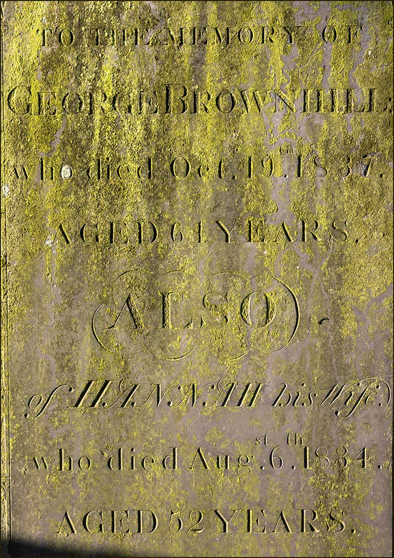
As we have seen already, naming streets in Cropwell Bishop after local people is popular. Marshall, Brownhill, Clarke – all the names of people who had an impact on our village.

With that in mind, what are we to make of Barlows Close?
I am not aware of a Mr, Miss or Mrs Barlows (with an 's' on then end) ever making their mark on Cropwell Bishop life – and neither is St Giles Churchyard.

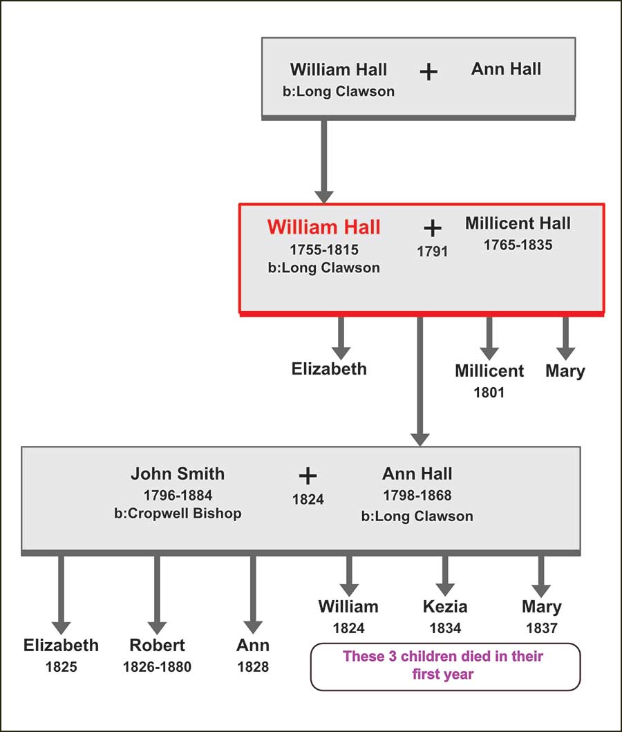
In a previous article I stated that Rushcliffe Borough Council have the final say on street names and they make their decision with reference to their published guidelines.

Section 5.1, “General naming Convention”, states:

  • it should reflect the history or geography of the site,
  • it should not be difficult to pronounce or spell,
  • it should not be named after living people (except Royalty)
  • if named after a deceased person, the individual should have been dead for 20 years or be over 100 years old
  • permission must be obtained from the person’s family

Are these rules set in stone?

I feel sure that if you were to discover a vaccine for Covid-19, the Council would be only to happy to celebrate your name locally.

Other councils named streets after the 1966 World Cup Winners in the 1960s and Nottingham City named streets after skaters Jane Torvill and Christopher Dean.

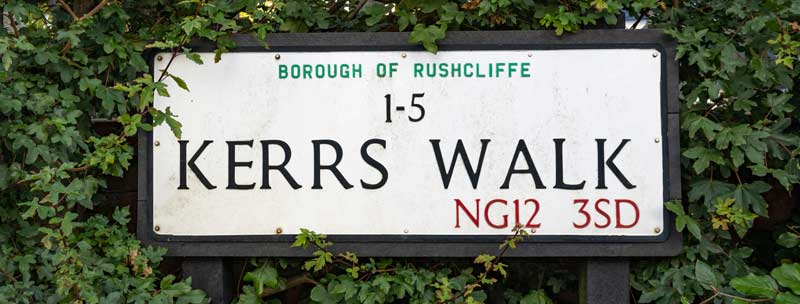
More to the point, Kerrs Walk in the village, was named after Margaret Kerr just a year after she died!

Getting back to Barlows Close, where has the name come from? Does it refer to several members of the Barlow family perhaps?

Over the last 100 years many members of the Barlow family have been involved in the life of Cropwell Bishop.
So, the secret is out, Barlow is the name source for Barlows Close. But which Barlow?

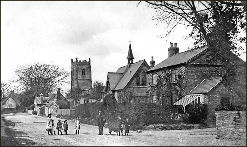
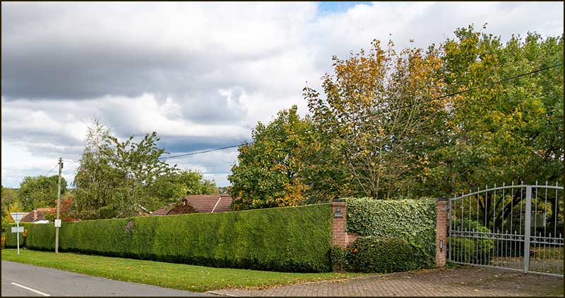
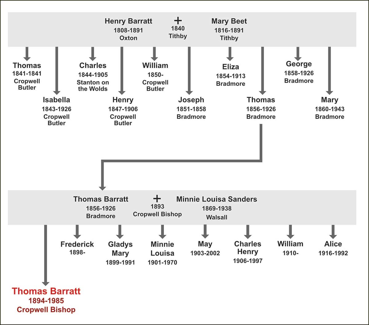
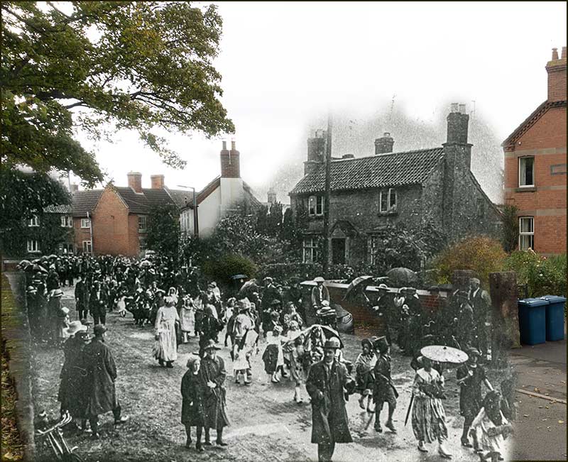
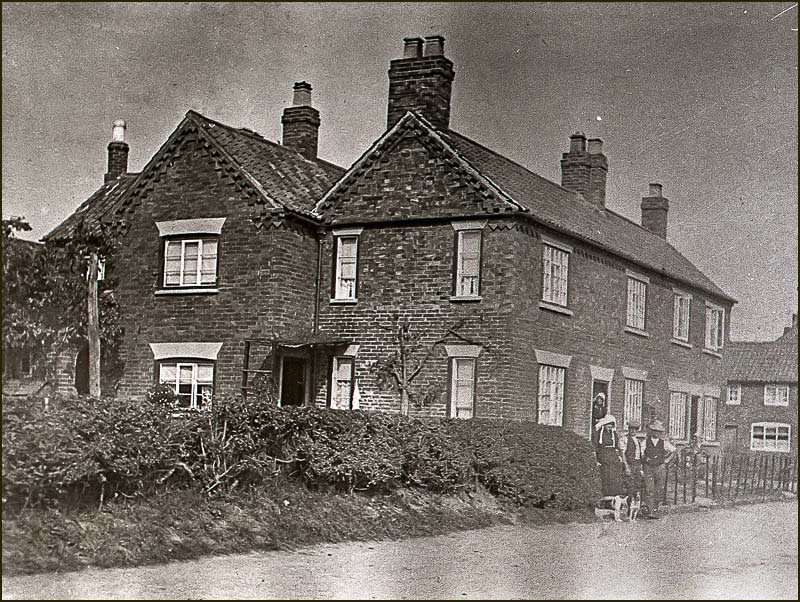
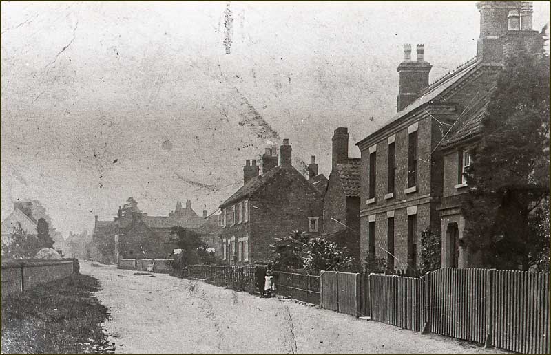
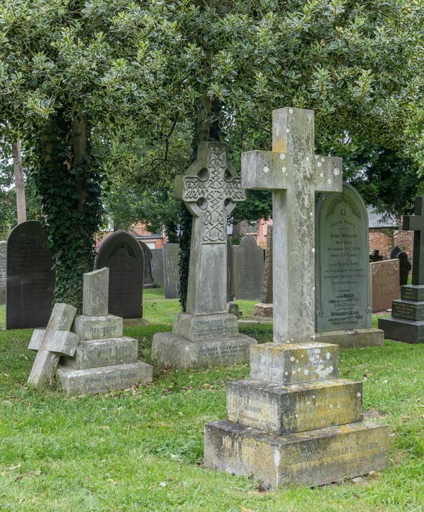
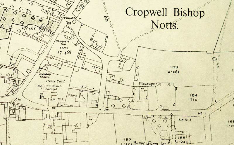
Search the graves in St Giles churchyard and you will find 8 with the name Barlow engraved – and the first arrived little more than a century ago: the Barlow family entered the Cropwell Bishop spotlight, relatively recently. How did it all come about?

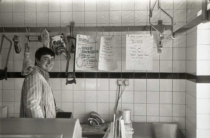
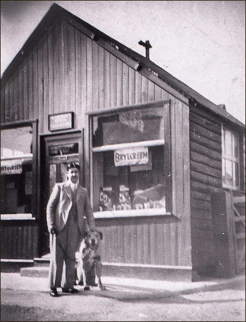
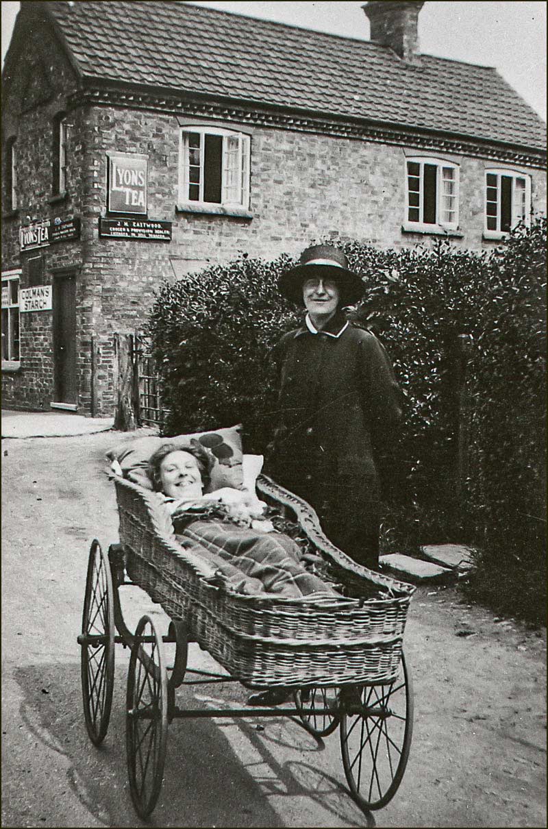
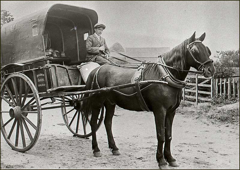
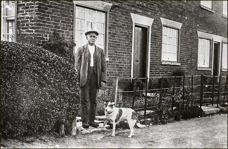
Thomas Barnet Barlow started his working life as a butcher in the village where he was born, Keyworth.

He learnt his trade with a local butcher and by the time he was 30, he had the savings and confidence to bring his wife and 5 children to Cropwell Bishop and start his own butchery business.

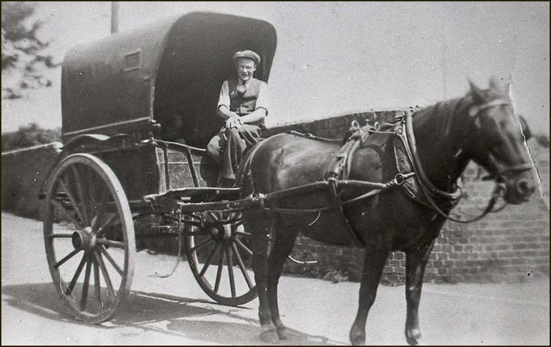
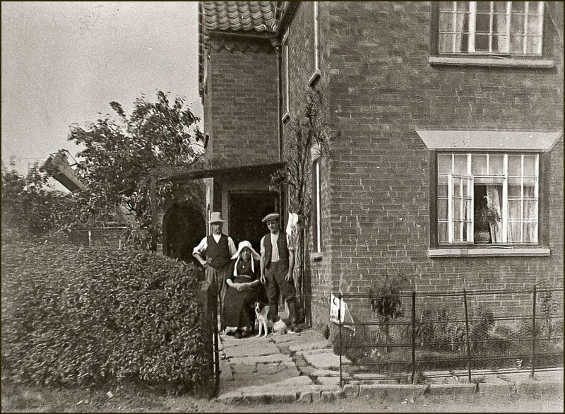
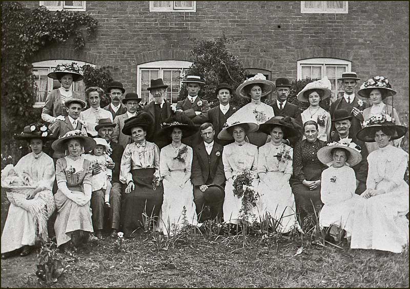
By 1911, when he and his wife, Sarah Ann, were 45 years old, Thomas was not only an established butcher, but also a farmer. They had been busy since their arrival: they now had another 5 children making a total of 10 - about average for those times.

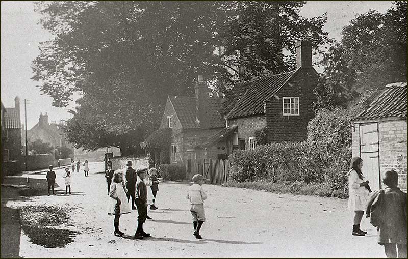
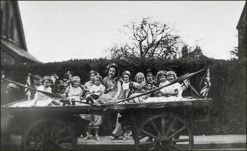
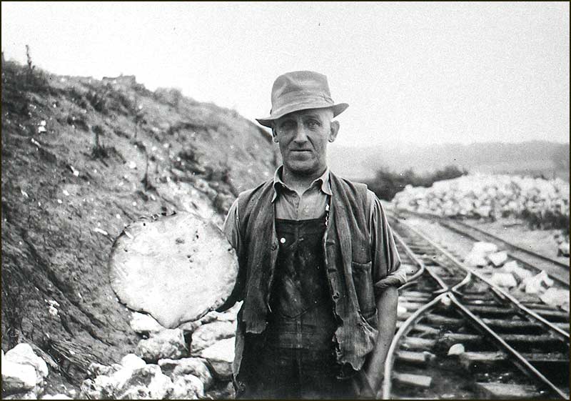
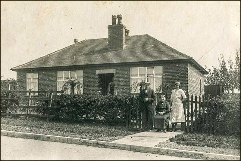
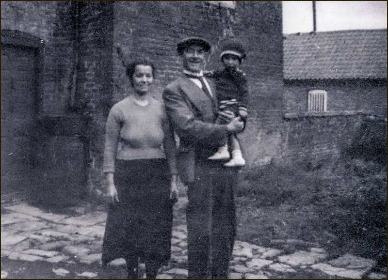
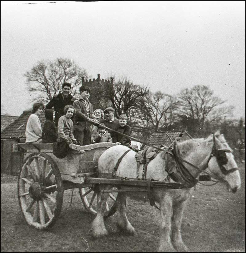
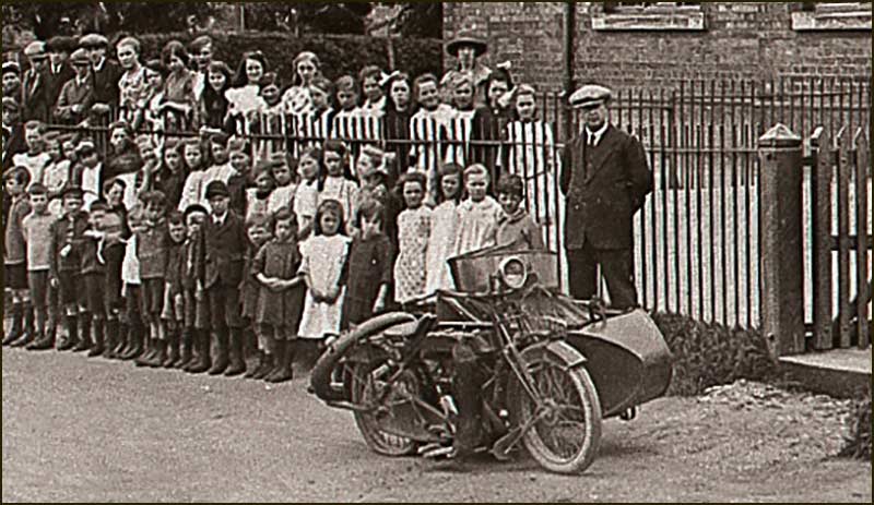
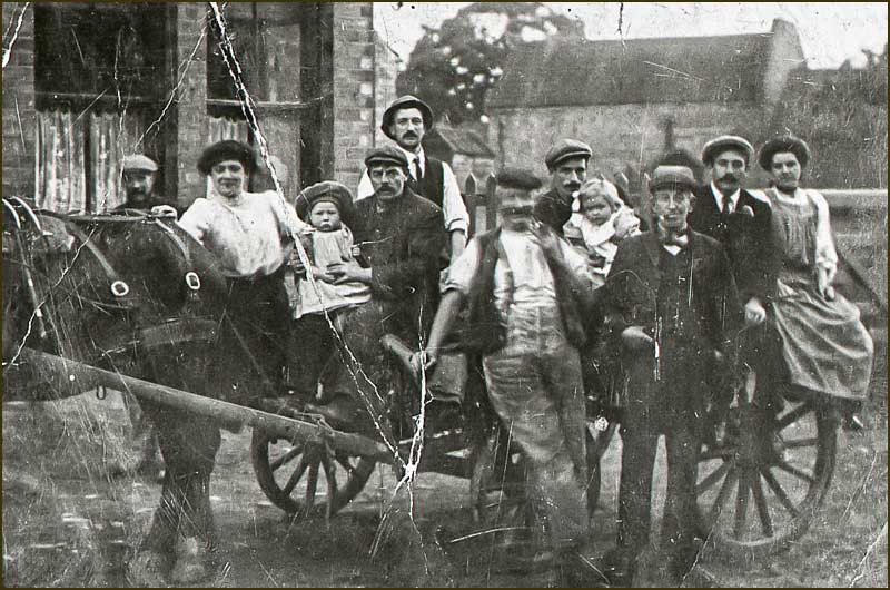
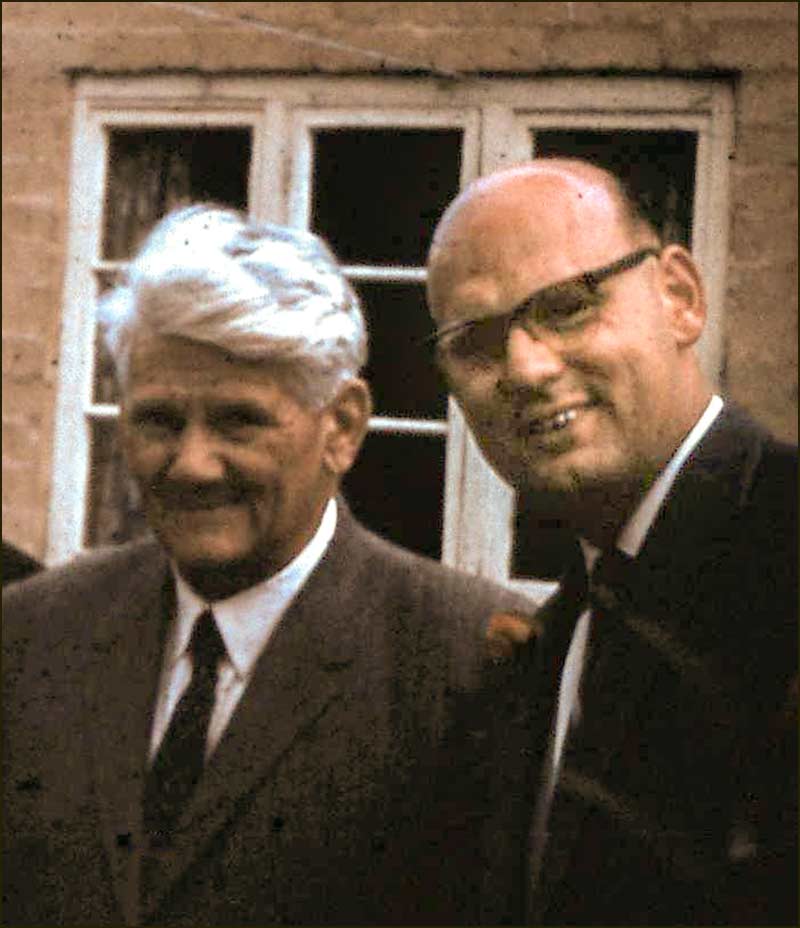
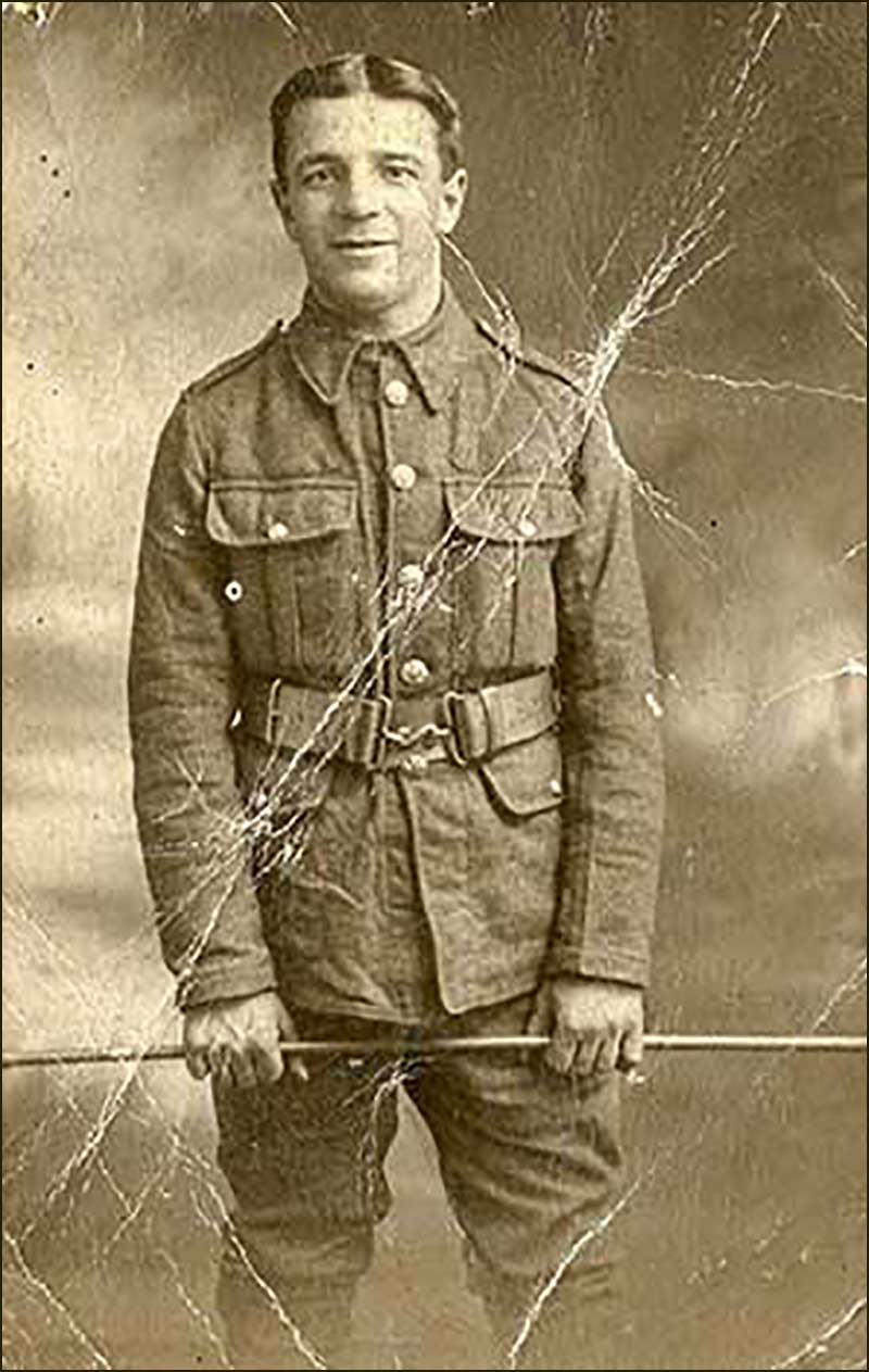
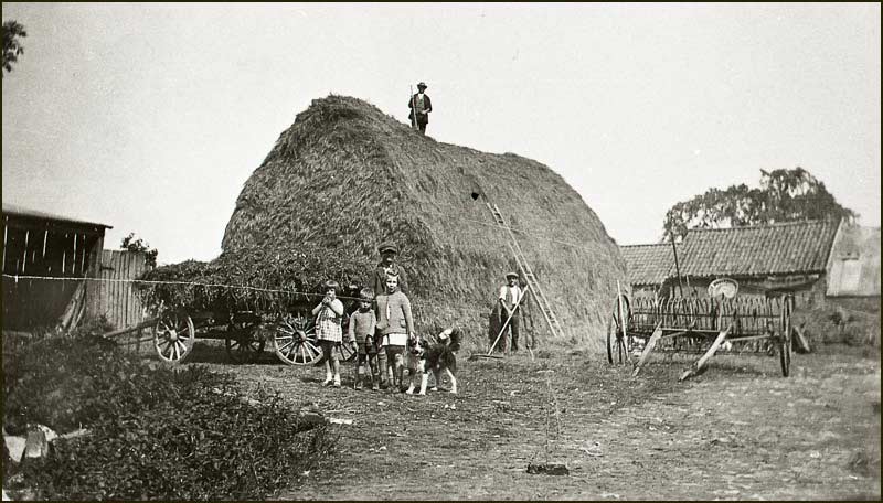
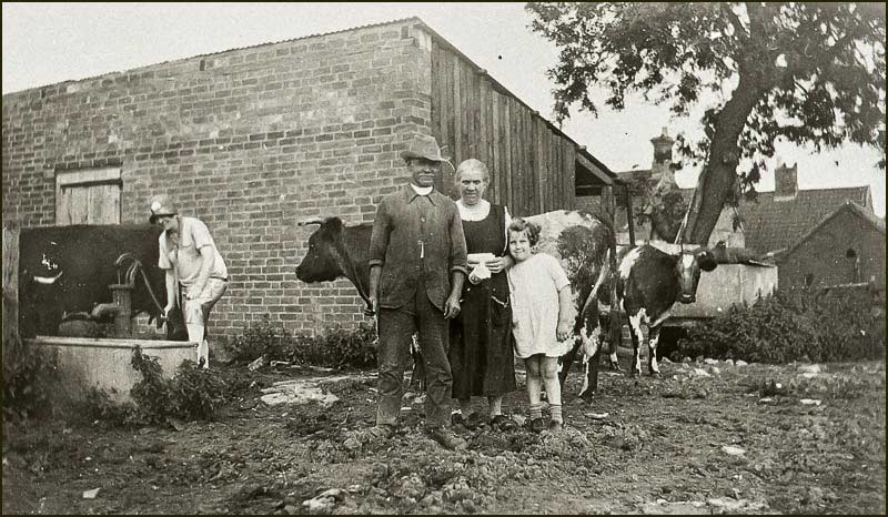
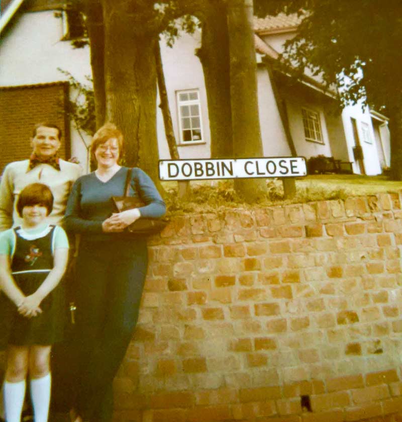
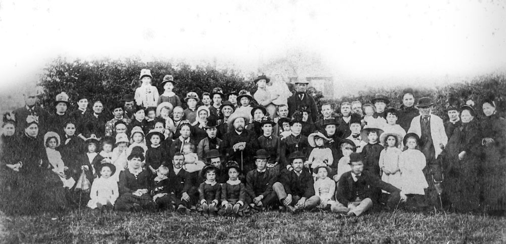
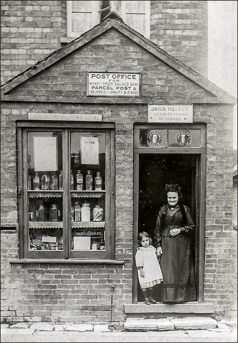
Of these, the two youngest are of particular interest here; Arthur (born 1903) and Harold (born 1908).


Barlows Close
Barlow children and parents behind The Old House in 1910. From left: Violet, Tom, John, mother Sarah Ann Barlow, father Thomas Barnet Barlow, Nell, Ethel, Ernest, Harold and Ida.
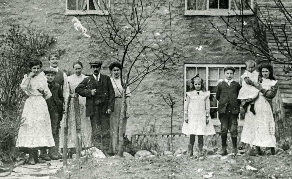
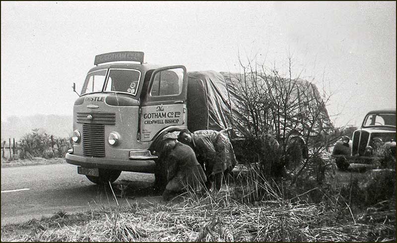
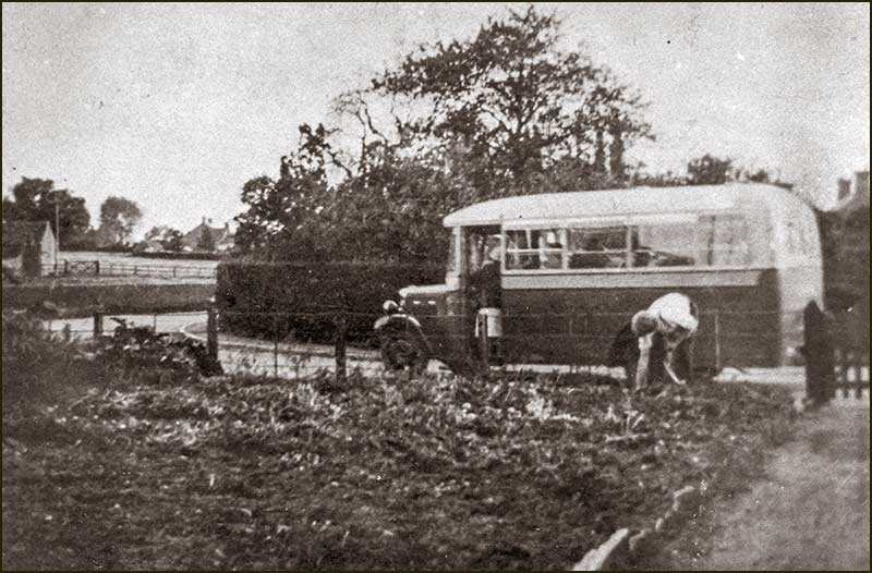
(no 7 year old Arthur; was he holding the camera?)

In 1928, when Arthur was 25, he married Gladys May Salvin. Gladys’ father, David Leavis Salvin, was an established, principal land owner in Cropwell Bishop - and he was wealthy.

Arthur and Gladys had their first child, David (full name: Thomas David Salvin Barlow) in 1930 followed by a second boy, John, a few years later.

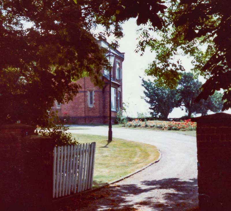
In 1938 they were living in Lenton House on Nottingham Road when they had their third child, a girl, Edith.

The children grew up, as they do, and when Arthur's eldest son, David, was 28, he married Audrey Starling from Cropwell Bishop. They had their first child Patrick and then in 1966 they had a girl, Sarah.

However, this was not the happy event it should have been: Audrey died after giving birth.

In 1968 David married Pamela Gould and they had a son, Mark.

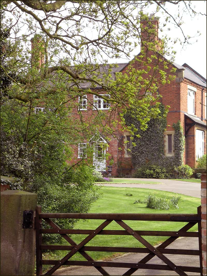
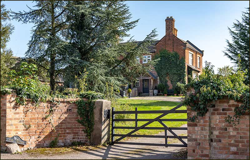
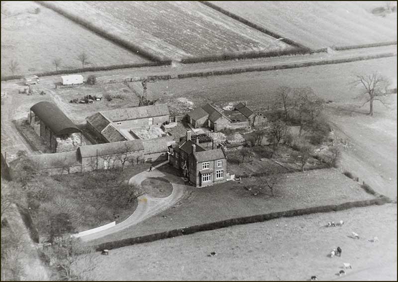
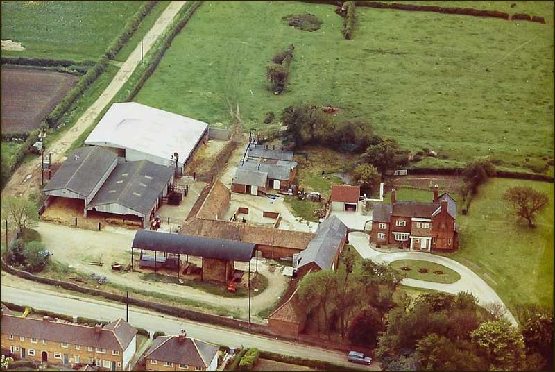
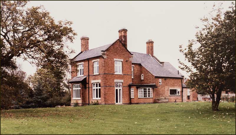
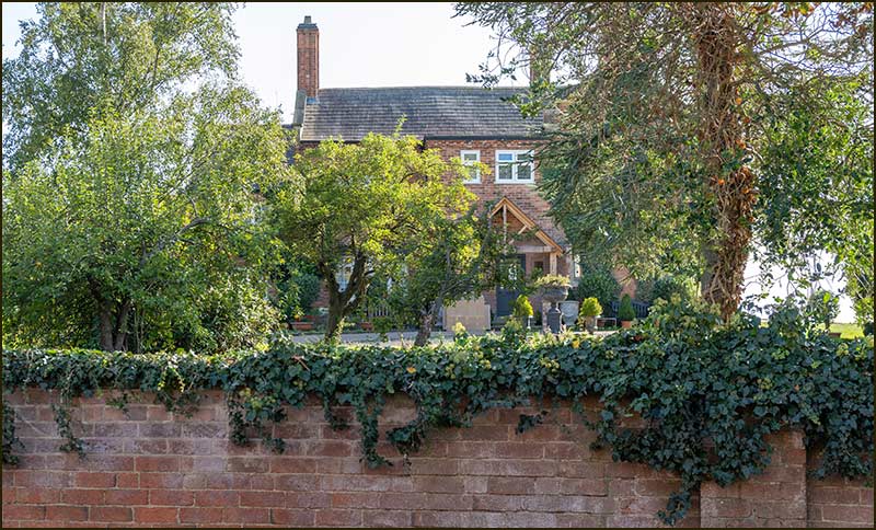
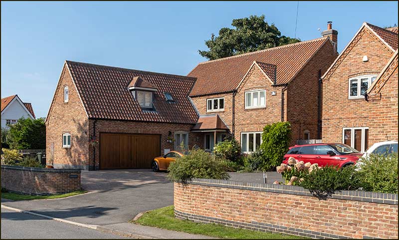
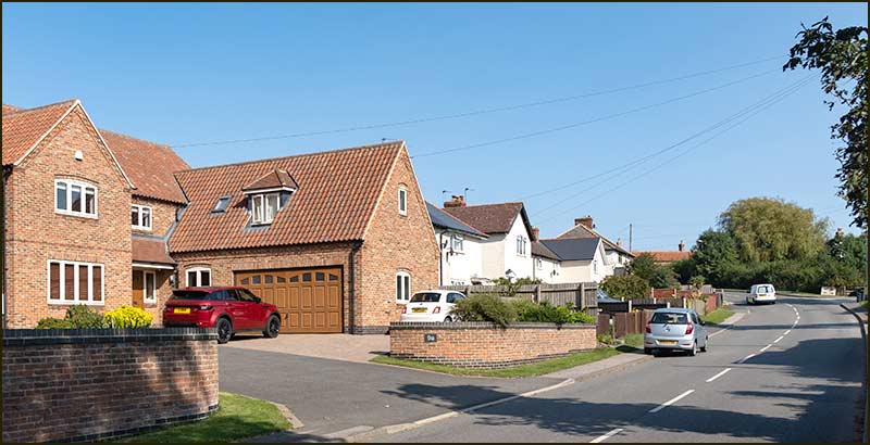
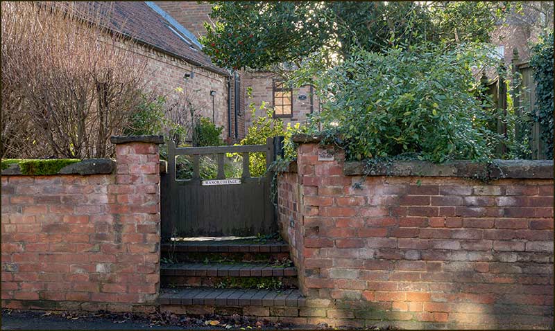
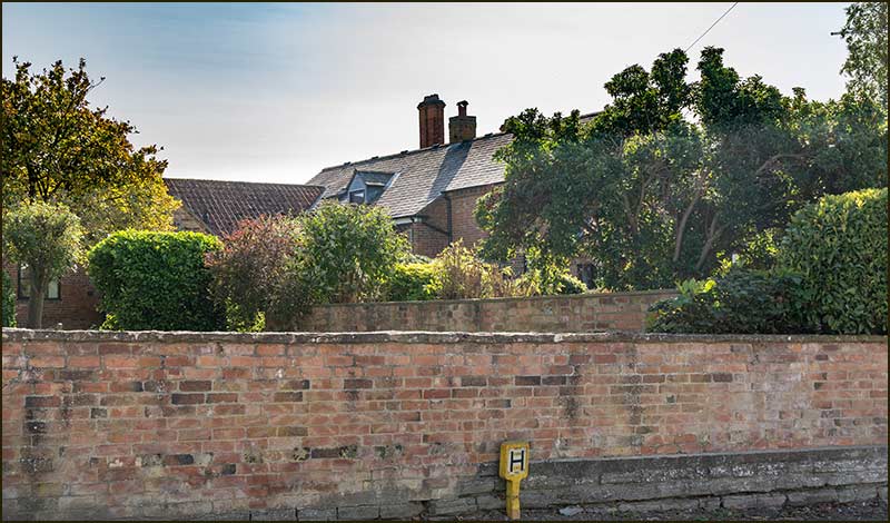
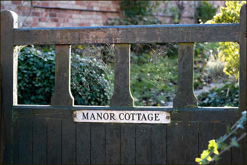
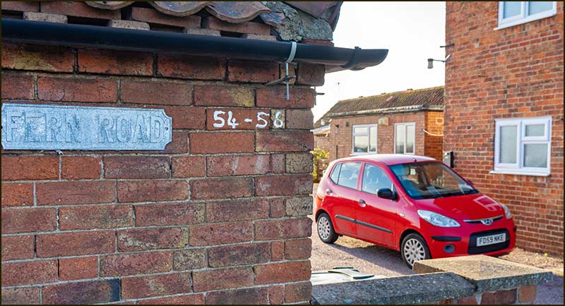
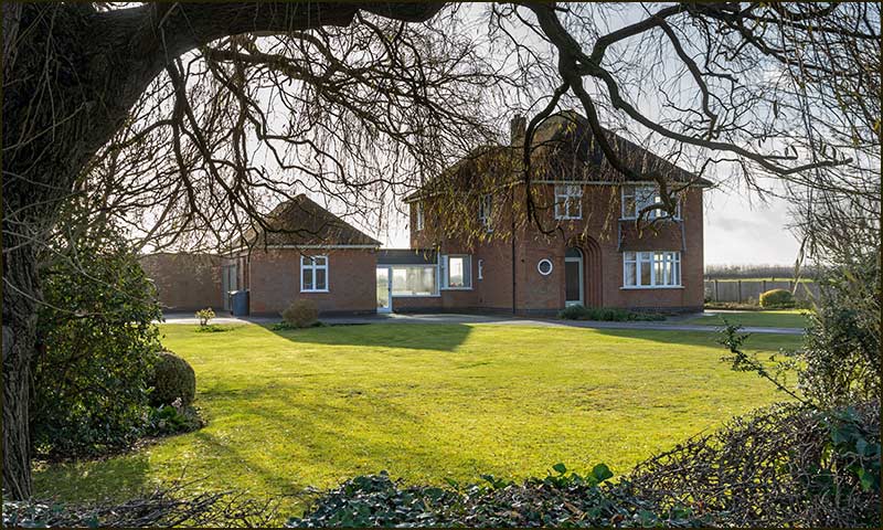
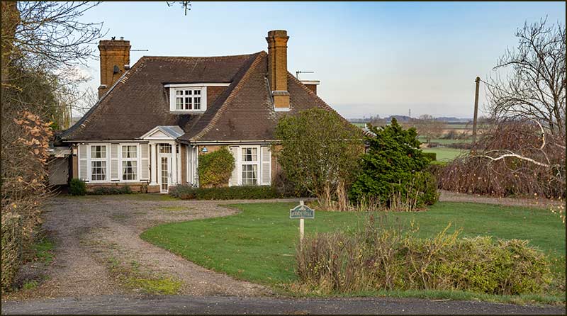
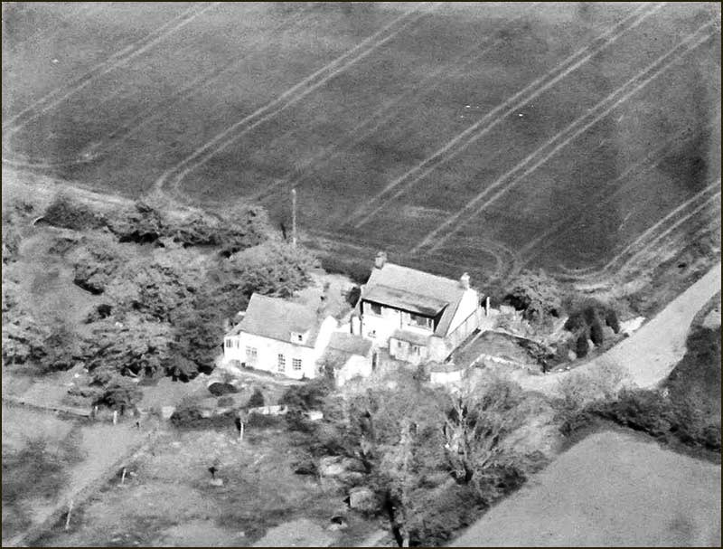
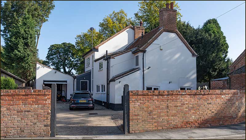
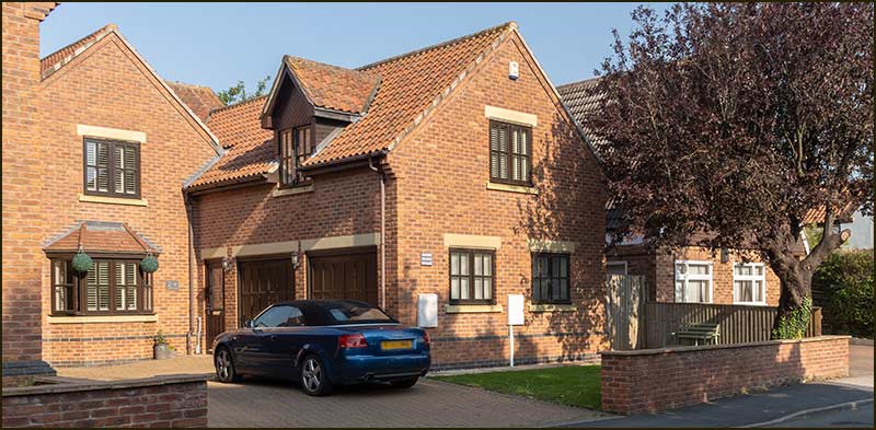
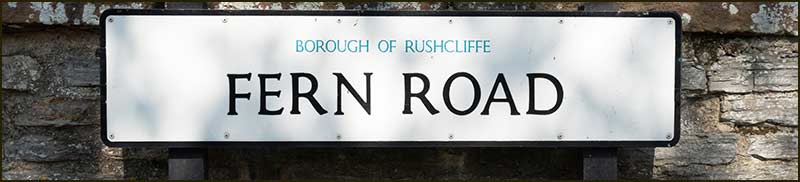
David and Pam were living at the top of Mill Lane but in 1970 they moved into his grandmother's house, The Manor on Fern Road.


The Manor
The Manor in 1983

Barlows Close
David Barlow (2nd from right) at a ceremony around 1980

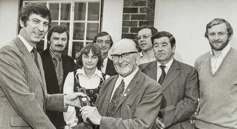
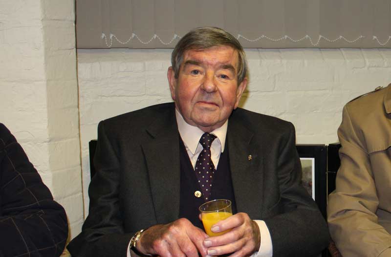
For decades, David served as a Cropwell Bishop Councillor and for a long time was chairman. He also became a Rushcliffe Borough Councillor and in 2001 he served as its leader.


Barlows Close
David Barlow at the turf cutting ceremony for the Harry Carlton Comprehensive School's new building at East Leake in 2002

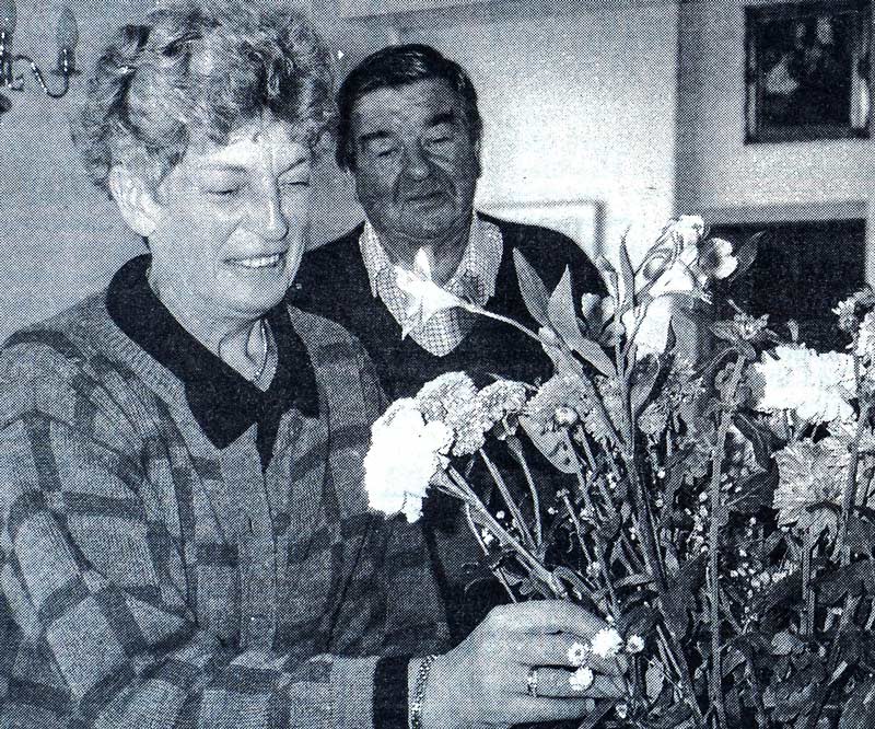
Meanwhile, Pam committed herself to the organisation and running of the Memorial Hall and it was only recently that she stood back from her role as chair.
David died in 2010.


Barlows Close
David Barlow at the presentation of the 'Cropwell Bishop Plan' at the Old School in 2009

What of the other local Barlows?

David’s brother became a professor at Glasgow University while his sister, Edith, married local builder Denis Smith and they lived on Fern Road.

Then there was Harold Barlow. I have already mentioned that Harold was Thomas Barnet Barlow’s youngest son.

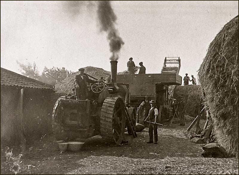
As Harold grew up, he worked to develop the butchery and farming businesses of the family whilst his older brother Arthur (who I have already described) was no doubt devoting much of his time in developing the farming interests of his farther-in-law, David Leavis Salvin.

Barlows Close
Butchers shop in 1970s. The building dates back to the 1930s but the new front was added in the 1950s

Barlows Close
Old Harold Barlow (1970s)

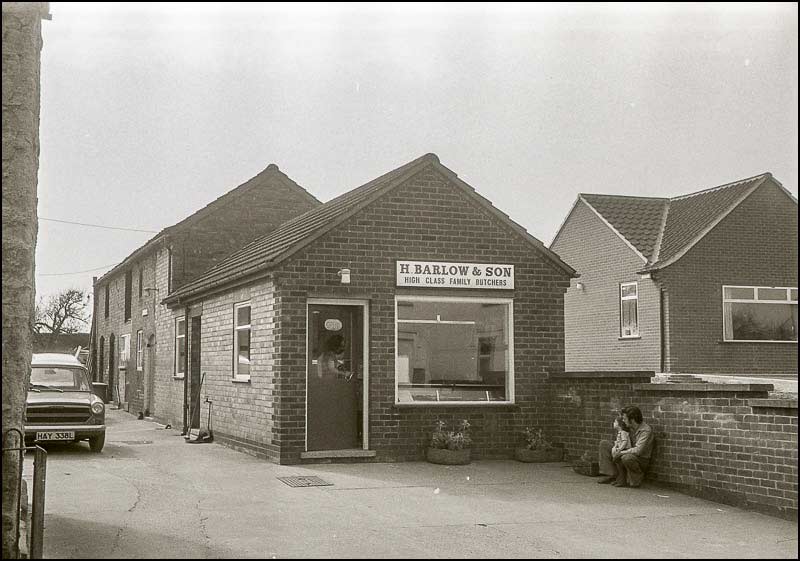
Never-the-less, Harold and Arthur worked side-by-side to develop their businesses and, when the time came, went on to share their father’s estate. But there was only one ‘Barlow Butcher Shop’ in the village, and that was Harold’s.


Barlows Close
Old Harold Barlow in the Butchers Shop in 1970s.

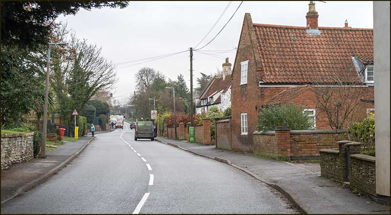
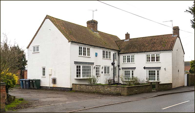
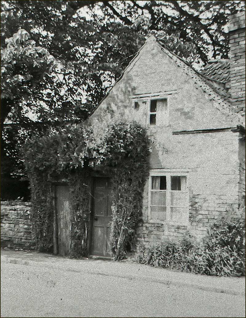
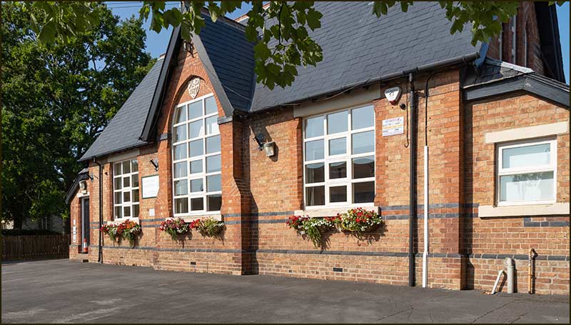
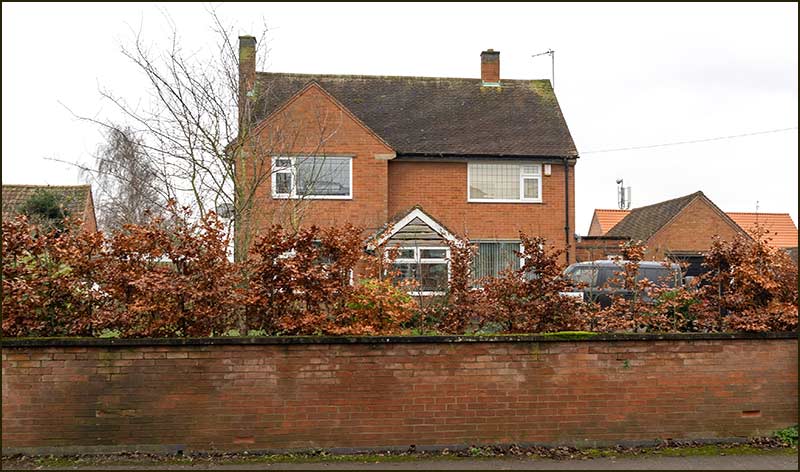
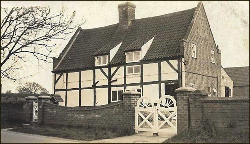
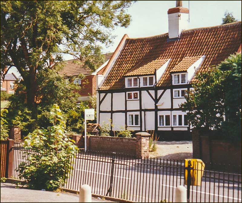
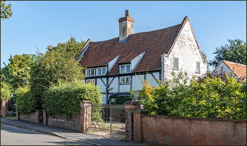
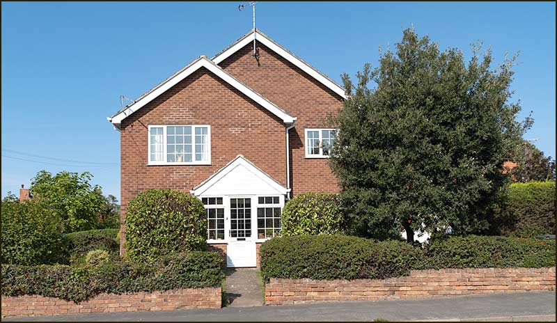
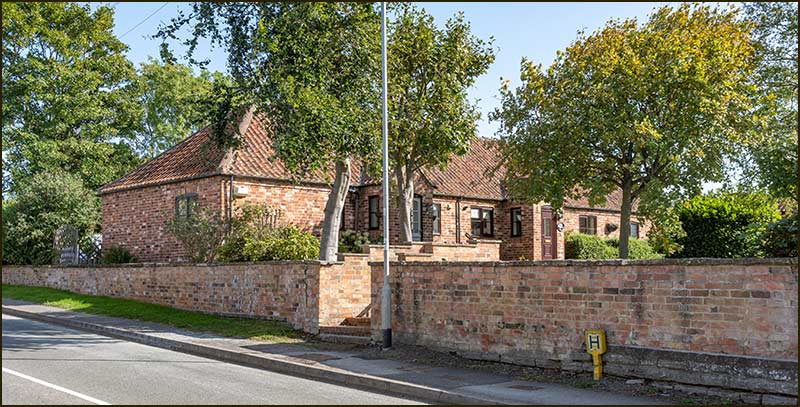
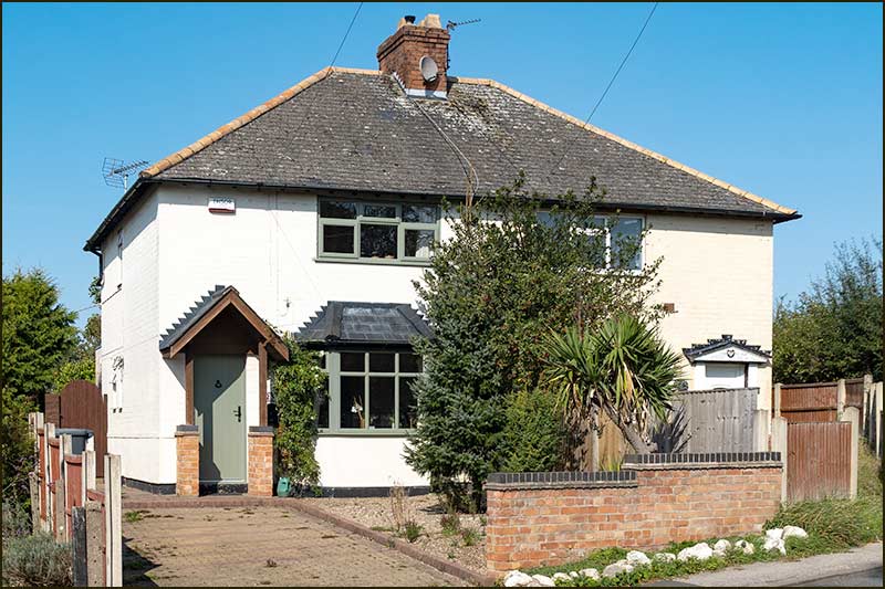
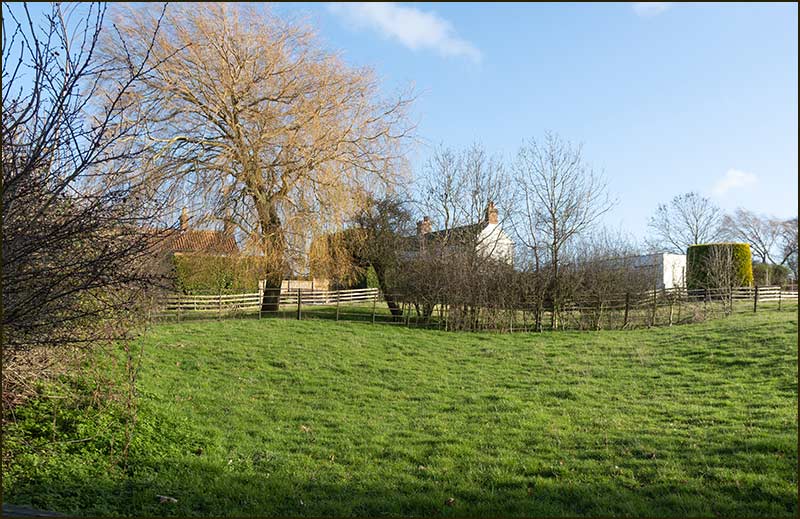
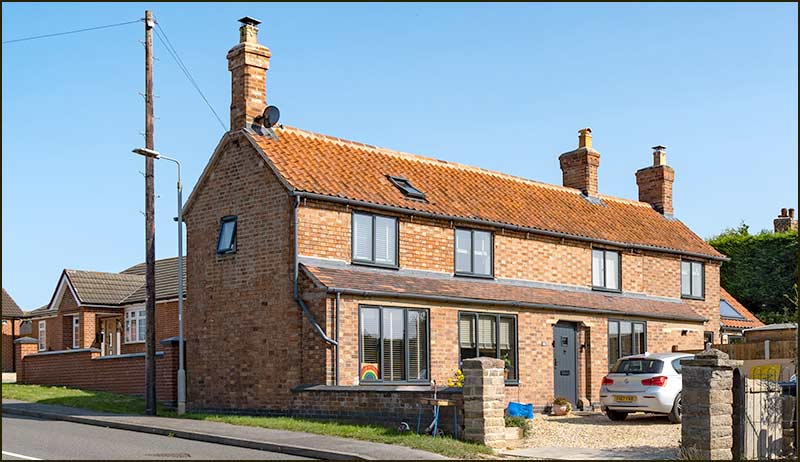
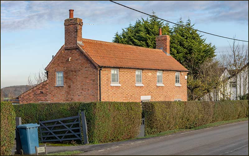
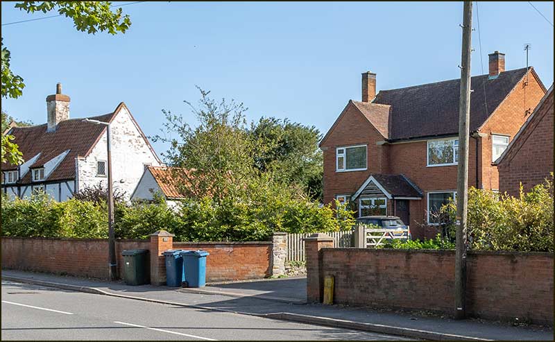
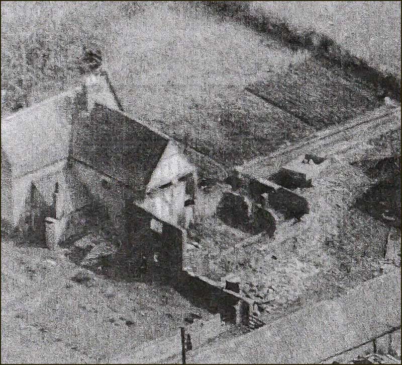
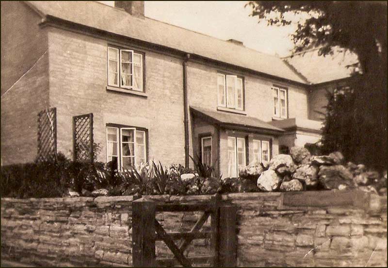
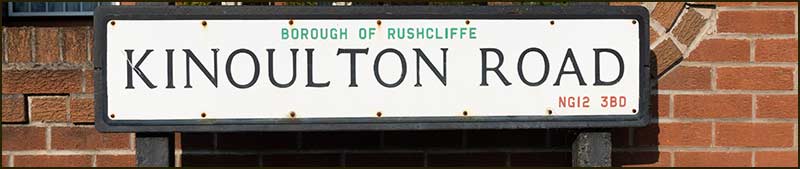
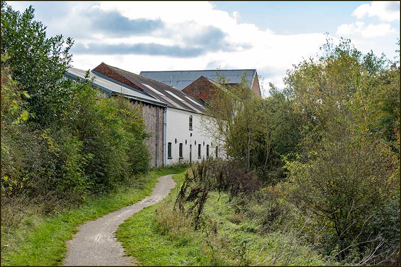
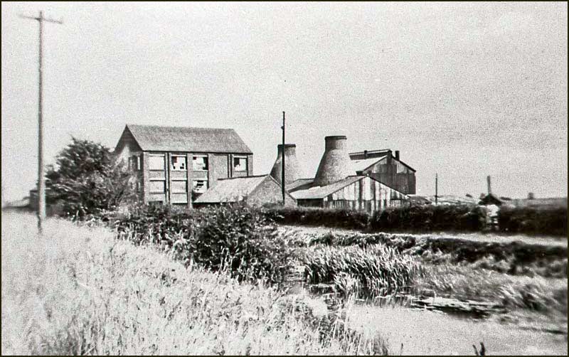
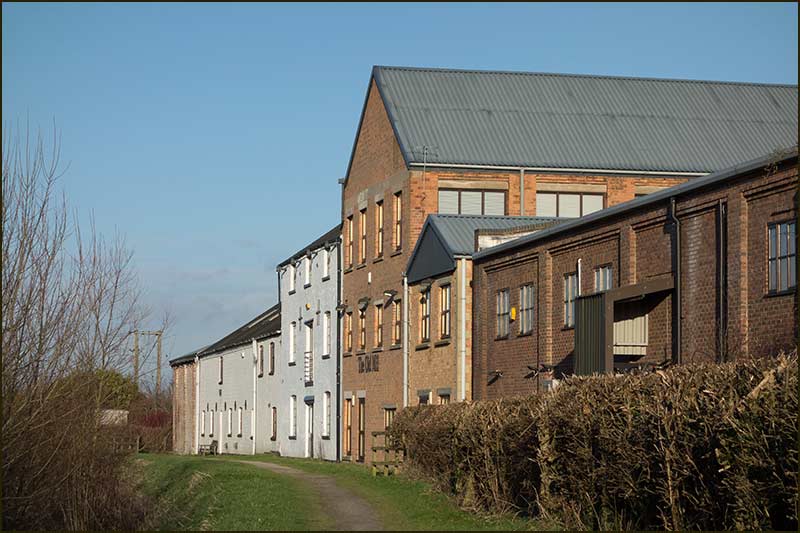
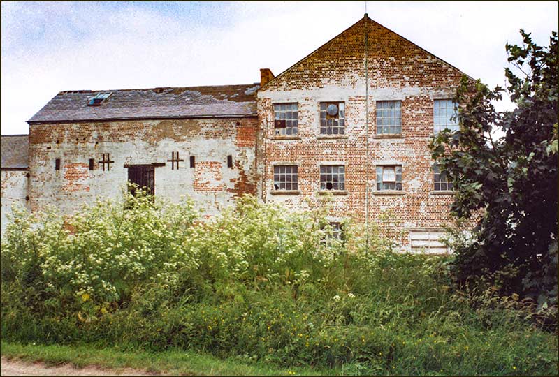
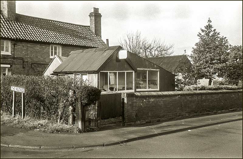
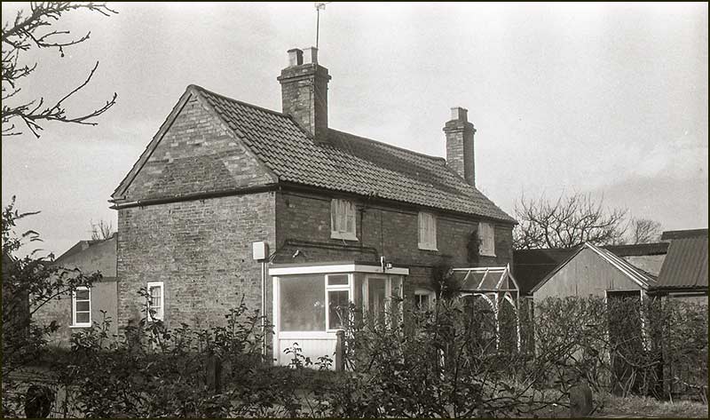
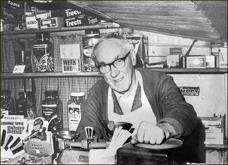
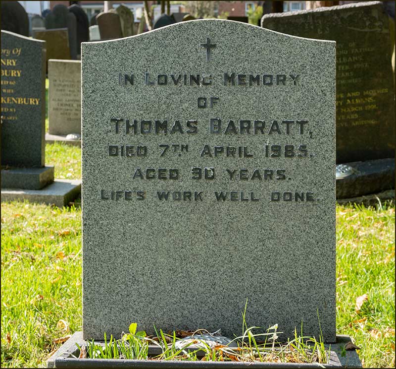
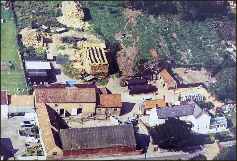
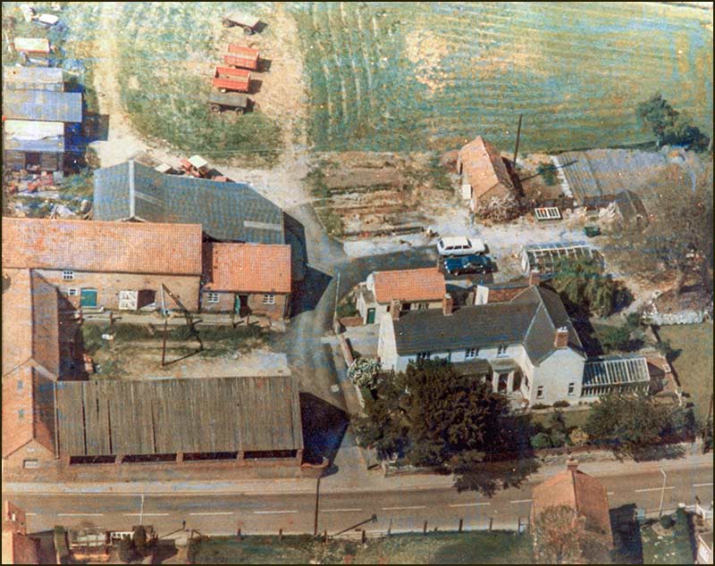
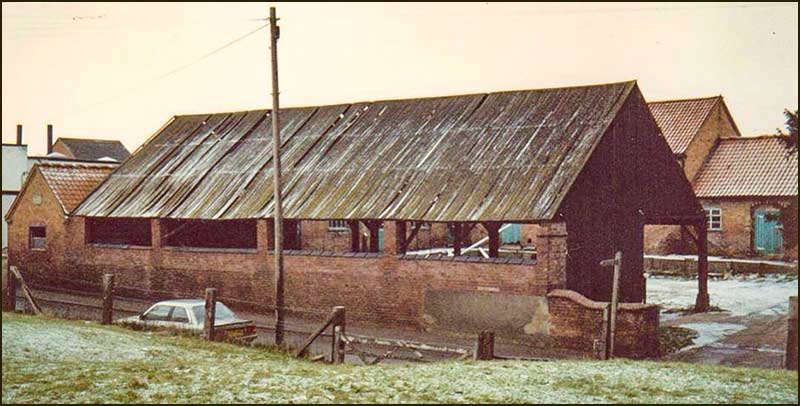
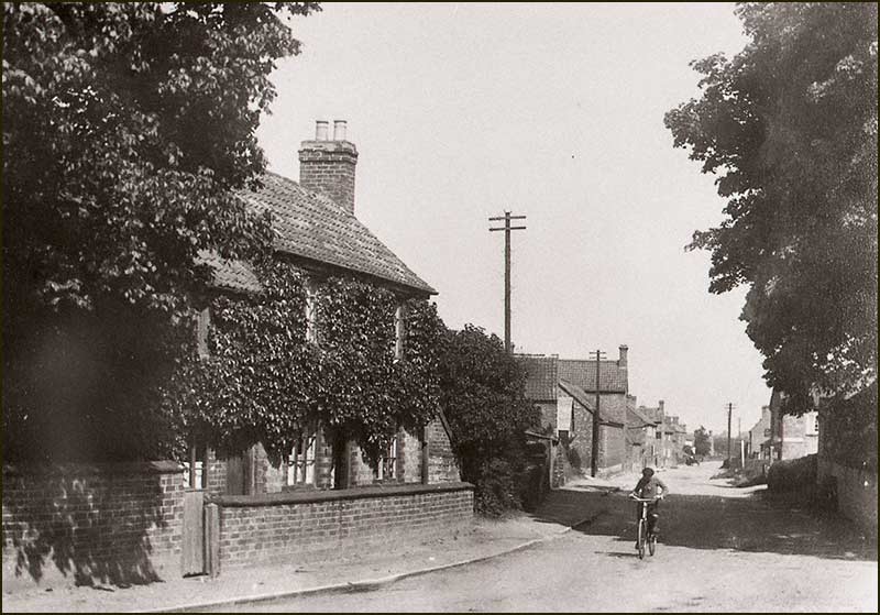
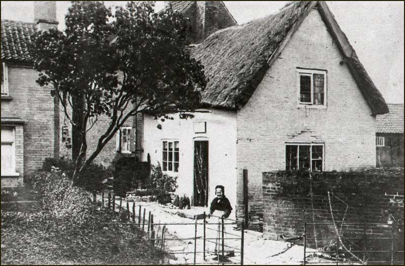
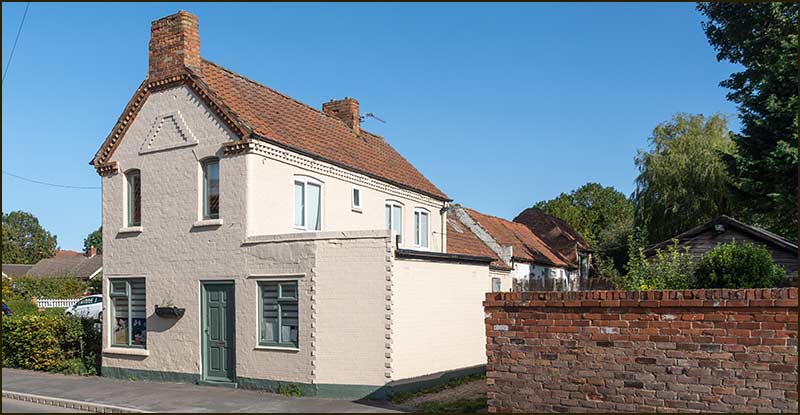
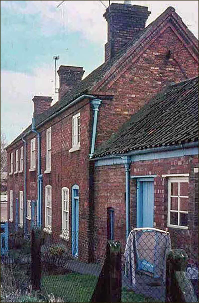
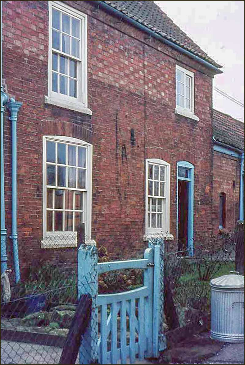
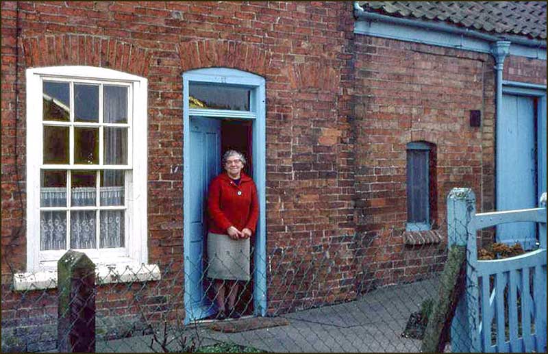
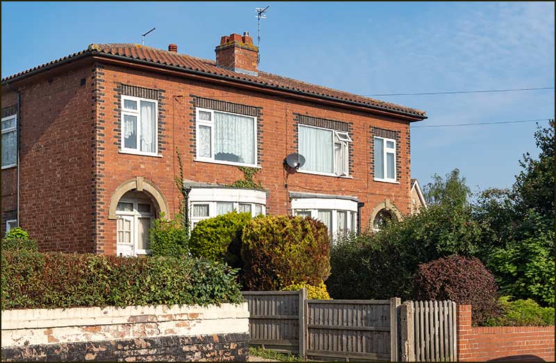
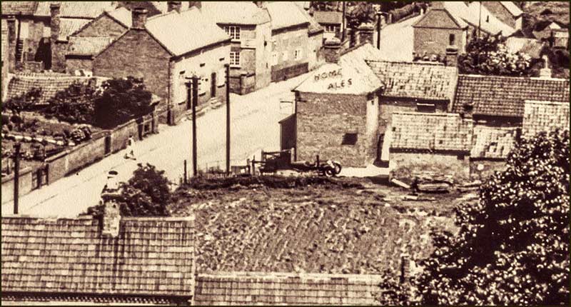
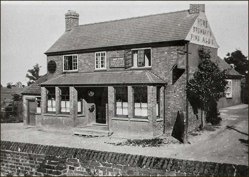
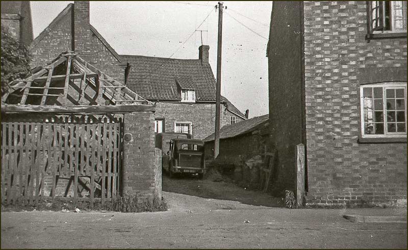
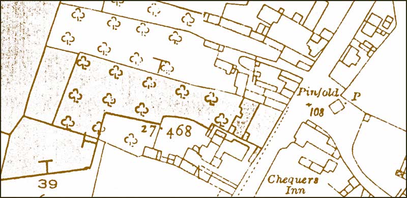
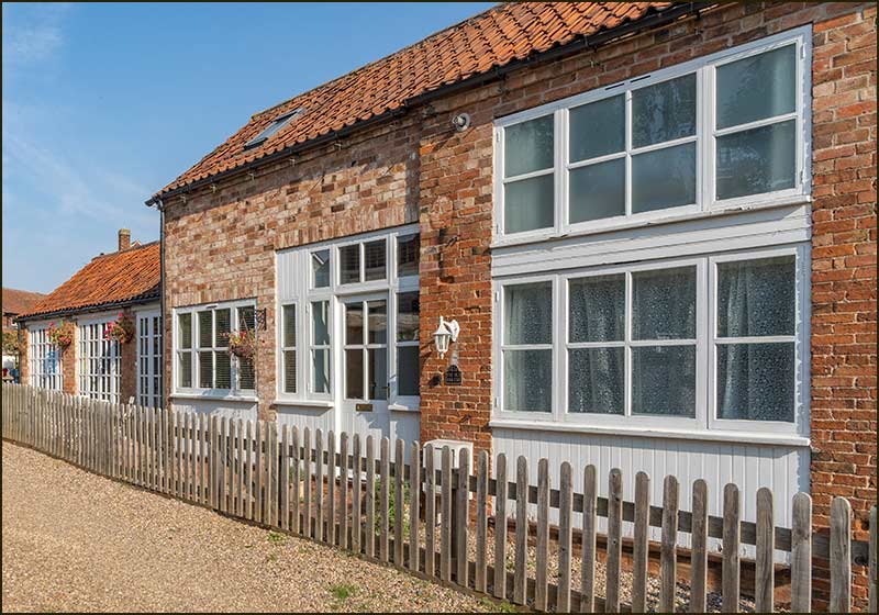
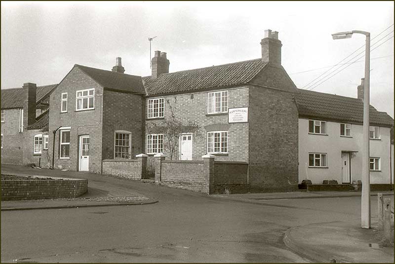
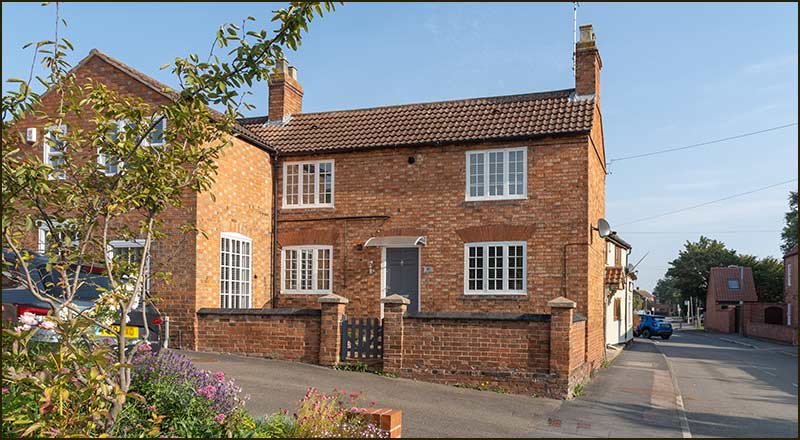
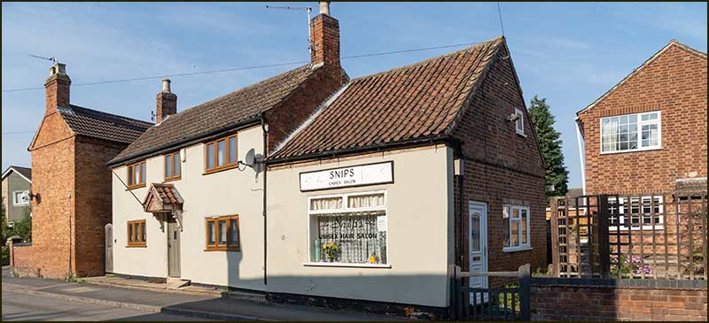
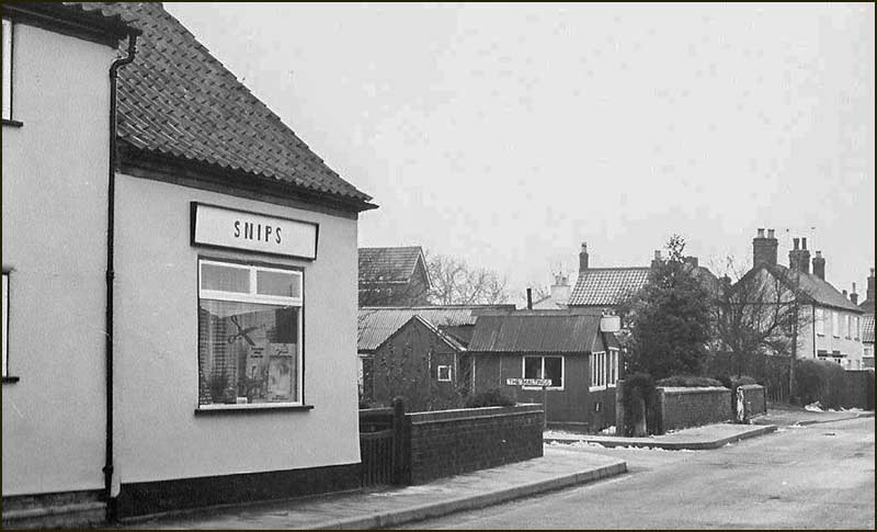
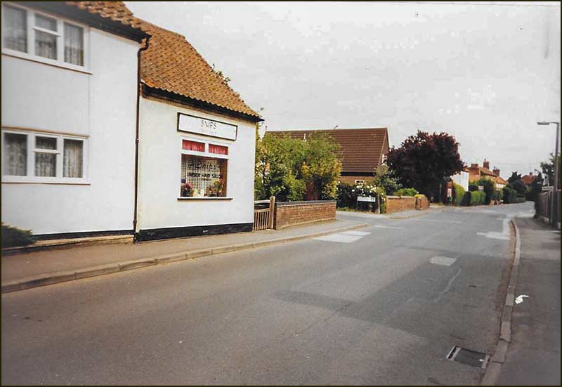
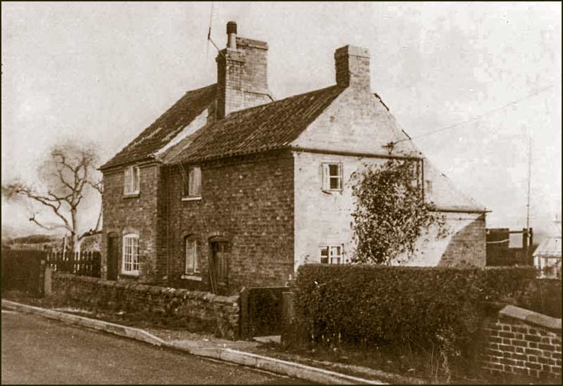
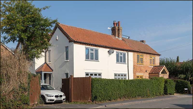
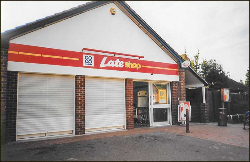
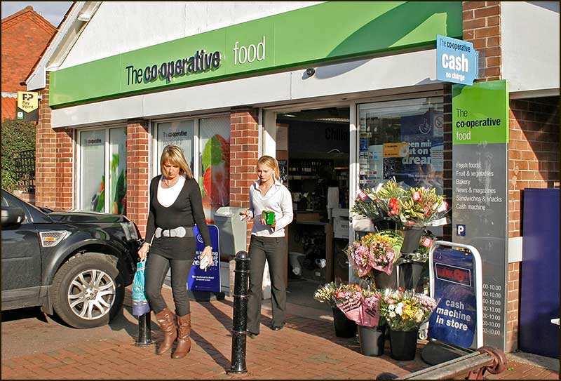
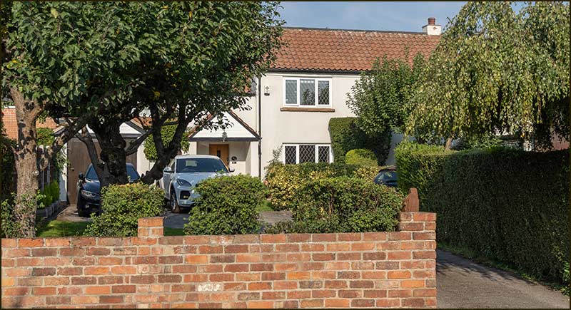
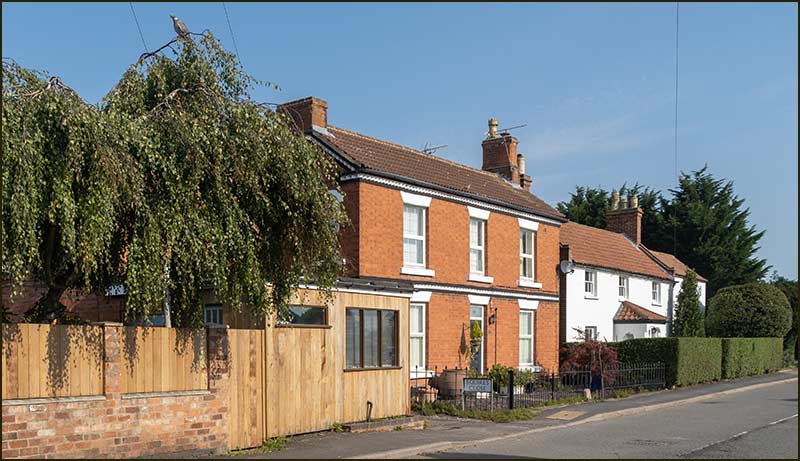
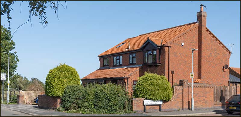
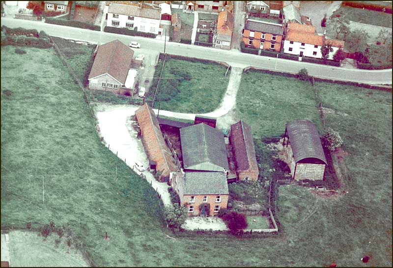
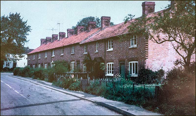
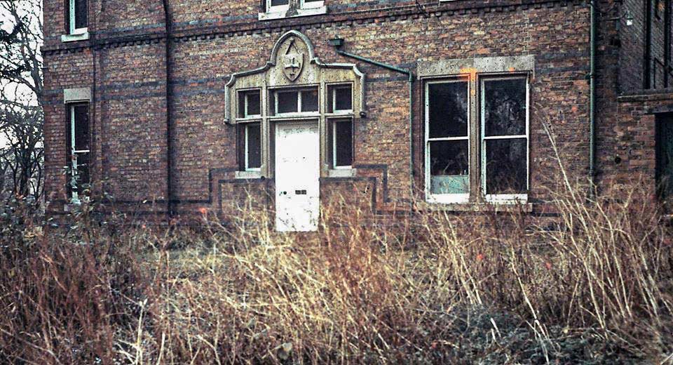
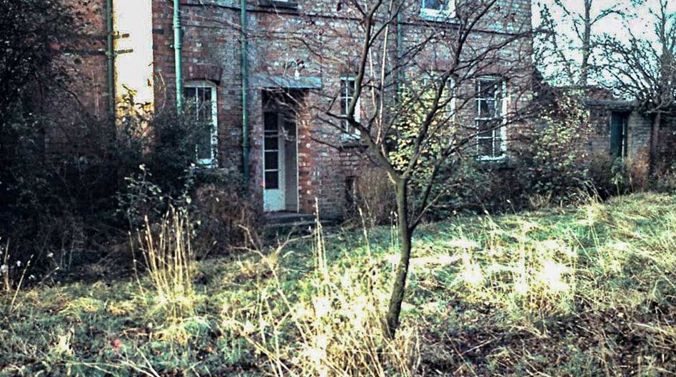
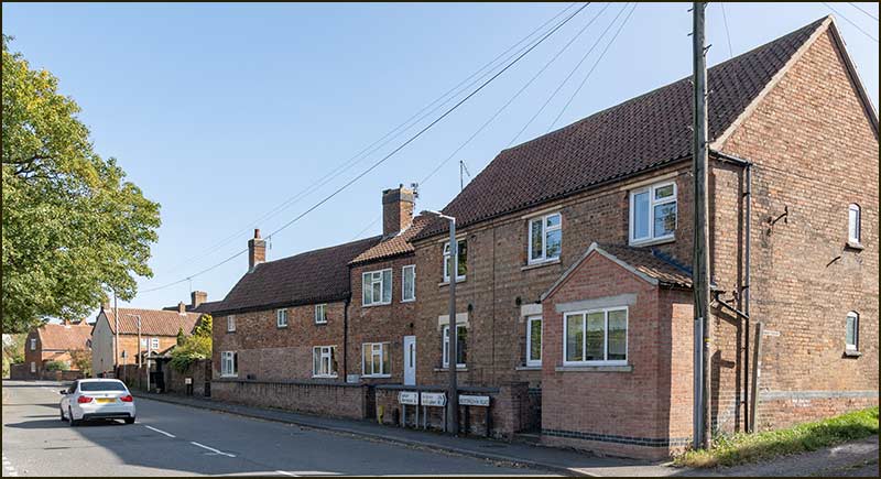
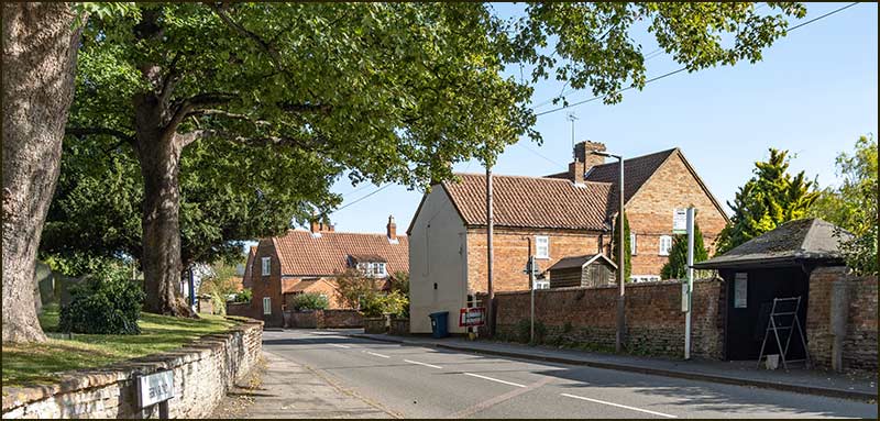
Harold was married to Rose and they lived their whole life at the ‘Old House’ on Nottingham Road – the building that is now occupied by the Hair Barn, Nyce and Heavenly Beauty.

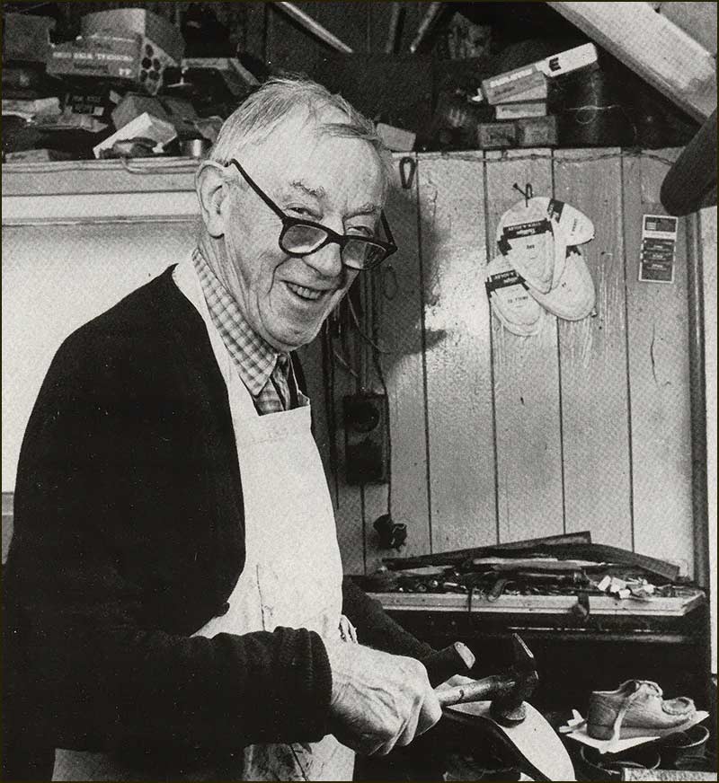
They had 3 children but it was the 2 boys who eventually took over Harold’s two business interests. Older son, Tom, worked on the farming side whilst his much younger son, 'young Harold', worked on the butchery side.


Barlows Close
Young Harold Barlow takes charge of the horse and cart (1950s)

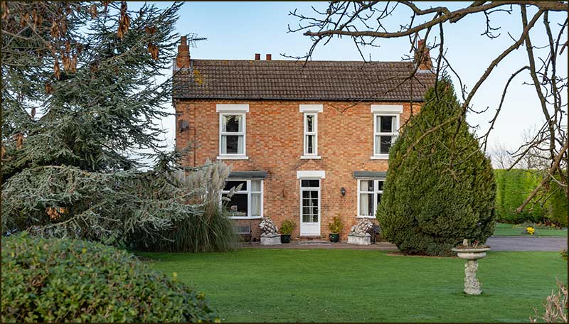
Tom married Kate and they had three boys: Richard is now running Home Farm on Fern Road, Mathew runs his veterinary practice, also at Home Farm, and Simon has developed a Fencing business elsewhere.

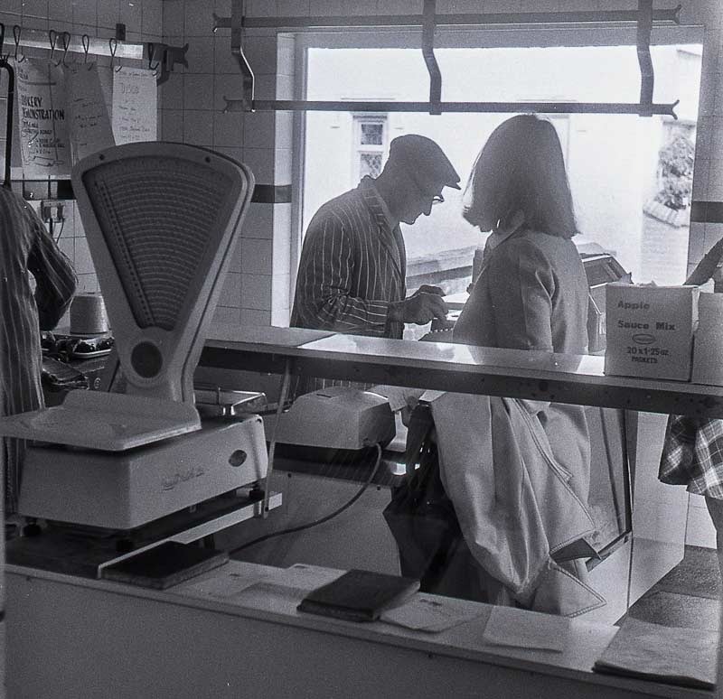
Tom’s brother, ‘young Harold’, married Lesley and they worked to develop the butchery business at the shop on Nottingham Road.


Barlows Close
Butchers Shop (1970s)

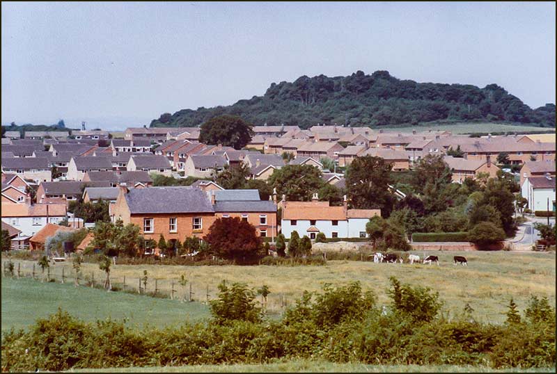
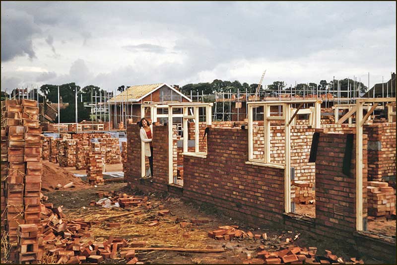
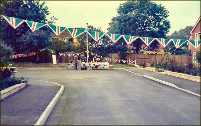
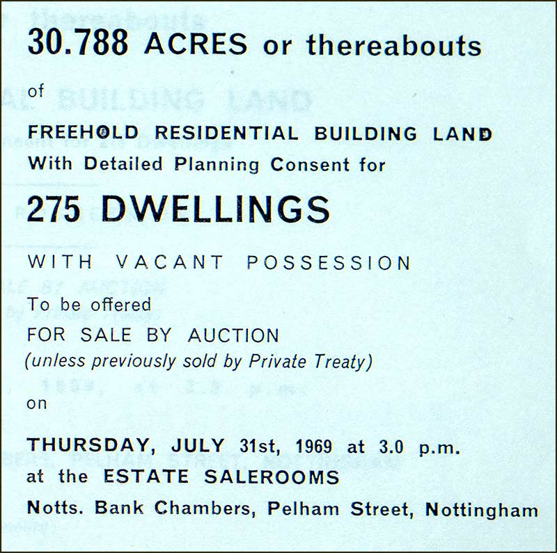
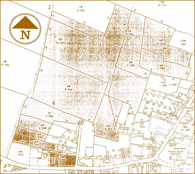
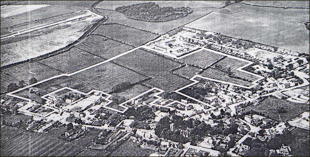
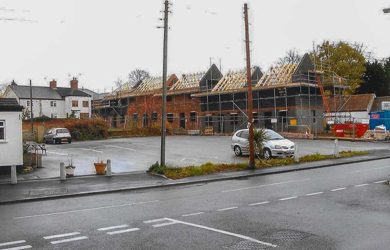
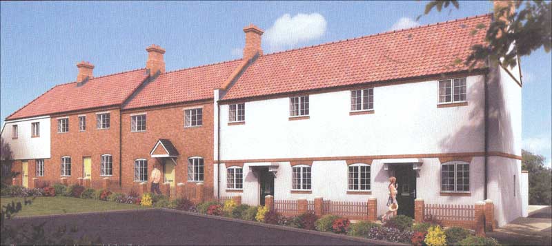
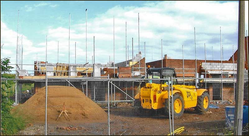
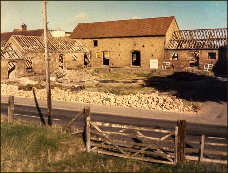
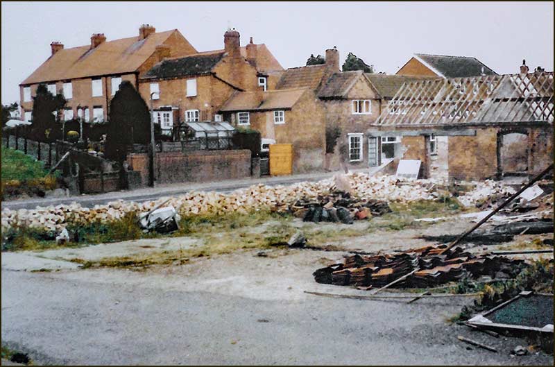
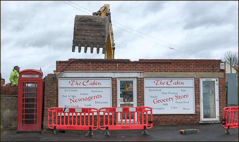
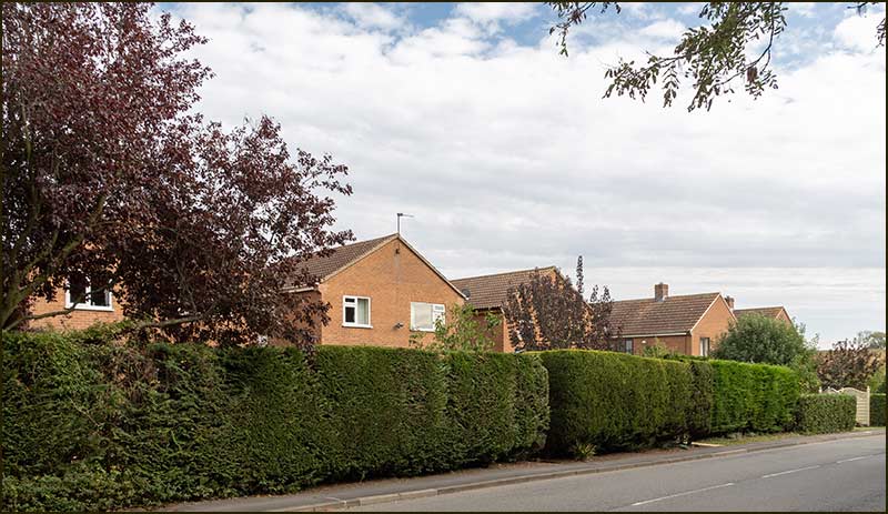
This was in the early 1970s when hundreds of new homes were being built.

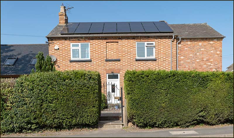
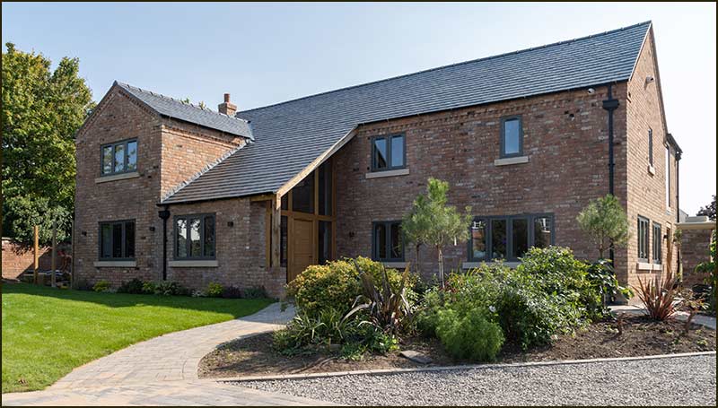
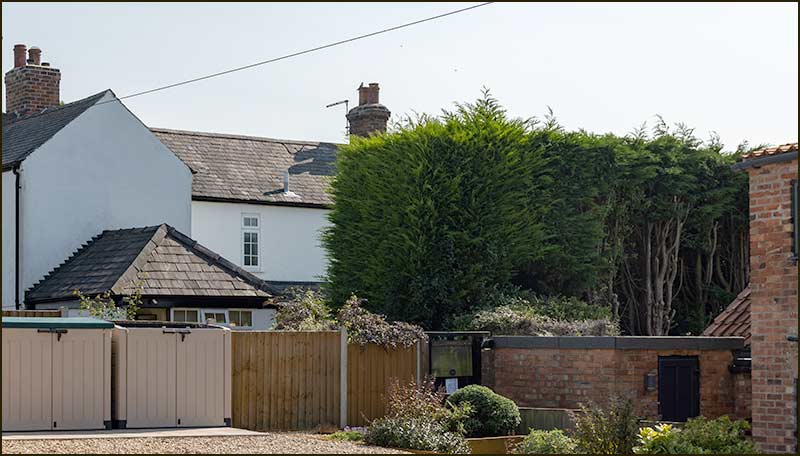
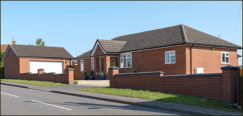
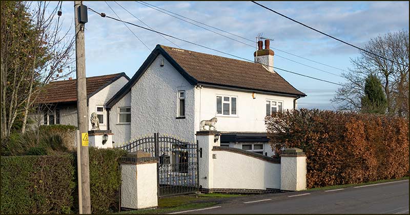
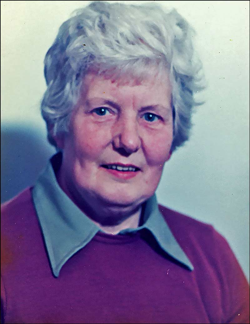
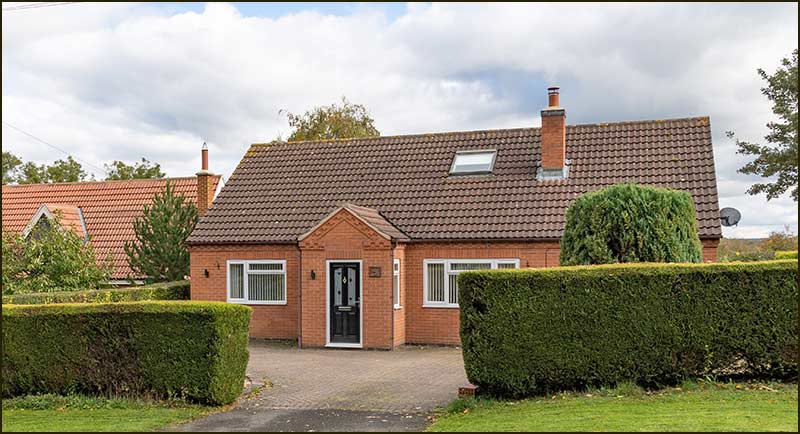
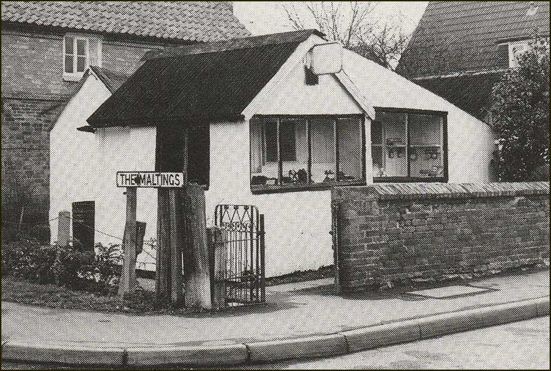
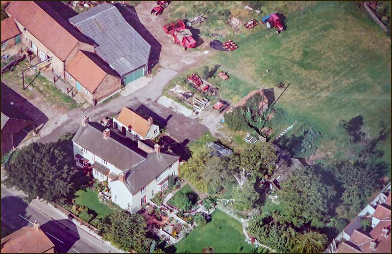
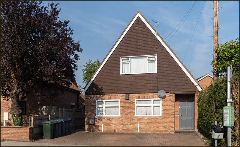
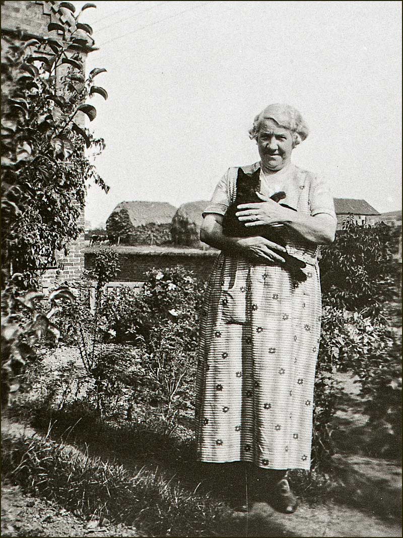
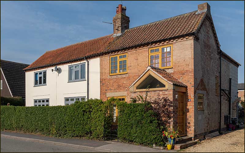
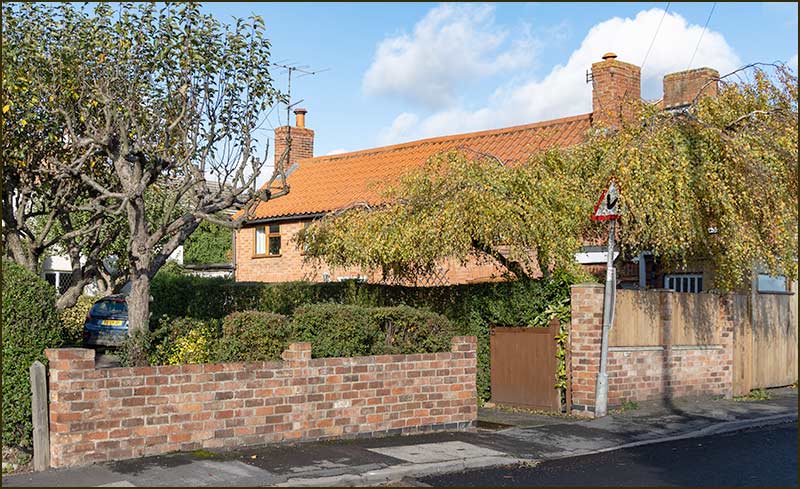
When old Harold died in 1983 his wife, Rose, stayed at their bungalow (built 8 years earlier) on ‘Barlow land’ next door to the shop. She lived there until her death in 2006 when she was 98.

Lesley helped in the shop and also worked in the back to provide a range of prepared meals for sale. She also raised their 2 children, Kerry and Tina.

Sadly, Young Harold died in 2001 when he was just 51.

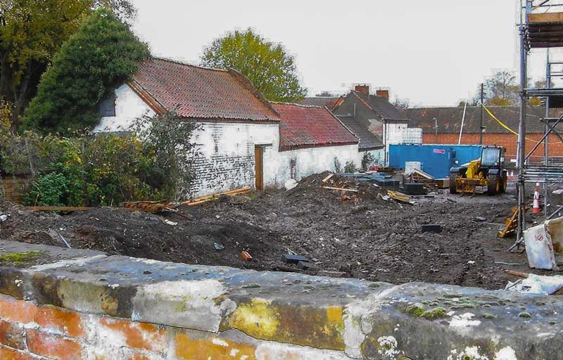
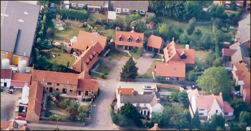
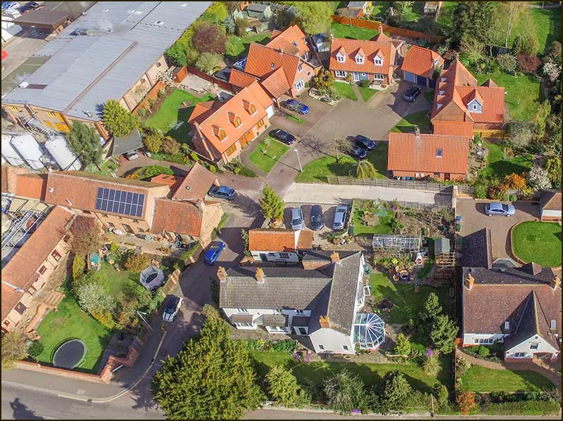
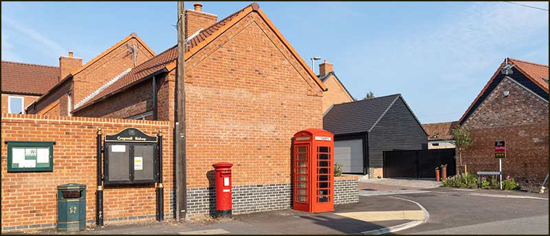
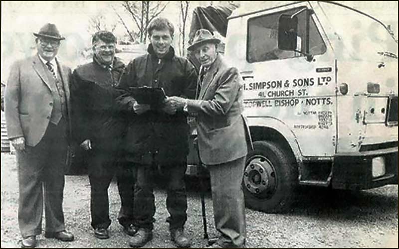
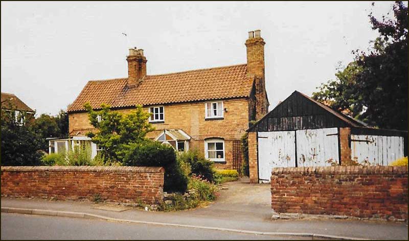
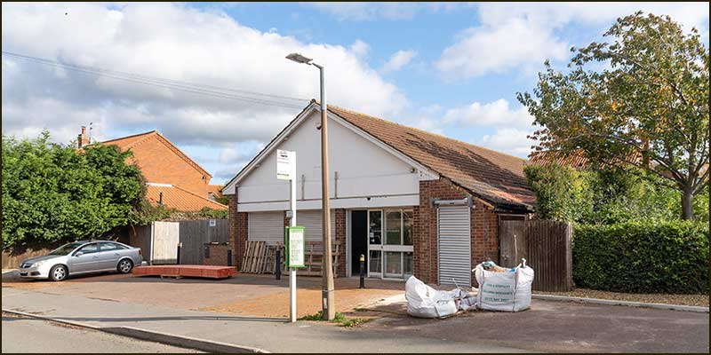
The Butchers Shop is now run by Gary Jowett but Lesley still lives nearby and her daughter, Tina, and her family occupy the home built for Rose – but now converted from bungalow to a house.

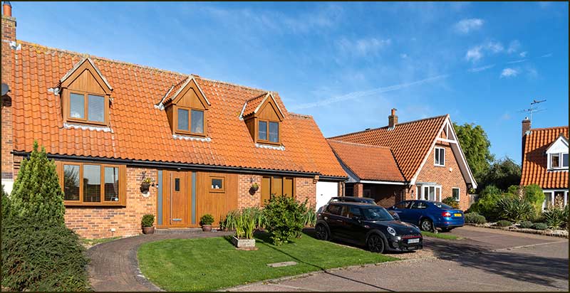
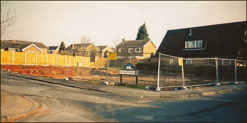
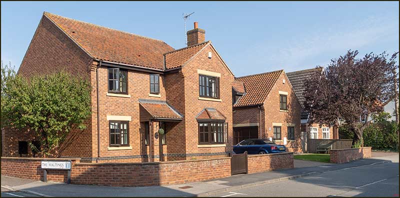
So now we face the same dilemma we had with Squires Close: who is Barlows Close named after?

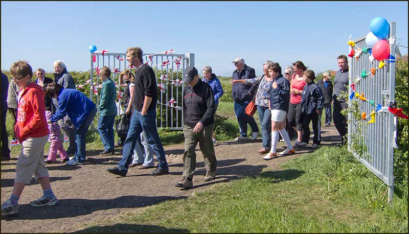
Well the answer is, all of them. The death of David Barlow in 2010 raised the prospect of naming a road after him but his widow, Pam Barlow, suggested ‘Barlows’ and this found favour with both the parish council and the borough council.

As you can see, naming a street can be a complicated business. Now you know why some less adventurous parish councils name their new streets after flowers: shame on them.


Tony Jarrow


Note:
Particular thanks to Anne Terzza, Pam Barlow and Lesley Barlow for their help with this article.


David & Pam Barlow
Pam & David Barlow (1995)


Cropwell Bishop Streets: — Barratt Close

Barratt Close sign

Imagine living in a world where a deadly disease is spread by droplets in the coughs and sneezes of infected people. One which commonly damages the lungs but can affect almost any part of the body.

And one that is responsible for killing around one seventh the population – and has continued doing so for thousands of years. And for which there is no known cure.

That was the real-world situation facing humanity 130 years ago. That disease was tuberculosis (TB), usually called consumption in those days: even today it kills over 2 million people every year.

I imagine that virtually all of you have had a BCG jab – a single injection that protects you from TB bacteria for life (although not every form of the TB bacteria). BCG vaccination of schoolchildren began in 1953 in the UK.

Tom Barratt was born in Cropwell Bishop in 1894. He was the first-born son of Thomas Barratt and Minnie Sanders who had married in the village the year before. Baby Tom was a healthy child – until he was 4 years old.


Tom Barratt
Barratt family tree

You need to know that, whilst most forms of TB bacteria enter a victim’s body via their lungs, there is another form of the bacteria which enters a different way – through a drink of milk.

Cows can be infected with bovine TB and it causes them to cough. Inhaling bacteria breathed out by them will infect humans too, but a much more common route is through the milk produced by the cow. However, in the 1890s this was not fully understood.

This form of TB was more likely to result in bone TB in humans and affect weight-bearing joints like the knees, hips and spine – particularly the soft bones of children.

In the 1890s, and for many decades afterwards, tens of thousands of children in the UK were infected with bovine TB every year.

Improved care during long stays in hospital kept death rates of children low, but most suffered life-changing physical damage.

When Tom Barratt was 4 years old, he became ill. In retrospect, it is clear that he contracted the human form of bovine TB as a result of drinking milk from an infected cow.

Nowadays, we know that it is easy to kill this and other harmful microbes by briefly heating milk – a process called pasteurisation after the French scientist Louis Pasteur who made this discovery in the 1880s. But in the 1890s, the link between cows and human TB was unproven.

Tom’s symptoms would have taken weeks or even months to show themselves. Limping was typically one of the first visible signs of the disease. At first, this would have been due to muscular stiffness but later, limps would become more pronounced due to shortening of the leg.

In 1908, when Tom was 14 years old, he was treated at Guys Hospital in London. At that time over 800 children a year were treated for TB at Guys. Every child’s problems were different, but the doctors decided that surgery on one knee was the best option in Tom’s case.

It is believed that this treatment shortened his leg by 7cm (3 inches). For the rest of his life he walked with a limp. A raised boot did help him cope with the problem.

This did not prevent Tom from riding a bicycle and when he was 15 years old he was working as a telegram messenger.

This probably meant him taking messages to and from the old telegraph office at Cropwell Butler. It opened in 1893 and, even in its first year, it was handling over a thousand messages a year.

But Tom already had his sights on a very different future. A Mr Parnham was the cobbler at Whatton and Tom became his apprentice.

He must have been a fast learner and ambitious, because by the time he was 16 years old, he had set up his own business on Church Street. His aim was be Cropwell Bishop’s cobbler, the man to go to for the repair of boots or shoes, and the making of clogs.

For that he would need a workshop, so he bought one for £13. In fact, it was little more than a wooden shed, and he had it transported from Colston Bassett on a horse drawn dray.


Tom Barratt's workshop
Tom Barratt shop and workshop on Church Street

The shed was to be his workshop and turned out to be an amazingly cost-effective investment. It served him for all 70 years of his business in Cropwell Bishop.


Barratt Close
Inside Tom Barratt's workshop

It was set up in the front garden of his parent’s house, The Rosary, on Church Street.

Later on, an additional shed was added and it became a shop for things other than footwear: ice creams and sweets for example, particularly for the children who were regular visitors on their way to and from school.

He used to call the little girls, “Missy”, and was still doing so 60 years later.

As a cobbler, he needed a regular supply of leather. In those days, shoes and boots had soles made of leather – and they needed repairing regularly.

Tom could buy leather squares from Turney Brothers, Leather Works, at Trent Bridge but had to collect them himself – so, ever resourceful, he bought himself a pony and trap. He kept the pony on land behind The Rosary.


Turney Brothers Leather Works
Turney Brothers Leather Works at Trent Bridge in 1981. Since converted into flats.

When Tom was 20 years old, he was called up to serve in the First World War, but his short leg inevitably meant that he could not take part. Whilst he could not serve the nation, he was able serve the population of Cropwell Bishop.

For much of his adult life, many villagers knew Tom by his nick-name, ‘Honky Barratt’. This had nothing to do with his limp, but all to do with ice-cream.

Tom’s mother, Minnie, made ice-cream and sold it from The Rosary.

But if there was an event taking place at the Memorial Hall or on the field, Tom would go up there on his motorbike.

He would take an ice chest, with a supply of ice-cream to sell, and would announce his arrival with a ‘honk’ of his horn: and that is how he got the nickname, “Honky Barratt”.


Advert
Advert for Tom's Shoe repairs and his mother's Teas and Ices (1931)

To make the ice-cream, Minnie needed ice, because there were no fridges or freezers in the village in those days. Her ice-cream making was only made possible by Tom fetching blocks of ice from Nottingham.

He would go on his motorbike and sidecar and buy big blocks of ice that he would carry in a chest mounted on his sidecar. We have a photograph of his motorbike. It is at the front of a photograph of schoolchildren standing outside the school on Fern Road. Tom is not in the picture.


Tom Barratt's motorbike
Tom Barratt's motorbike parked in front of School (1920s)
Tom Barratt's motorbike
You can see the cool box on top of the sidecar (1920s)

Why his bike was there, we don’t know, but it appears to have a flat tyre so maybe it was awaiting repair. Or maybe it was to show the children, we will never know. Not even the children in the photo can tell us – unless they are 110 years old.

Few people knew it, but Tom did marry and he fathered a son. This was when he was a young man but, sadly, the marriage did not work out.

His wife came from Sheffield and, after a short, married life in Cropwell Bishop, went back there.

Even so, Tom would sometimes travel up to Sheffield to visit his son.

His career as the village cobbler was long indeed. It is sobering to think that even though he worked continuously through two World Wars, in 1945 he was still not half-way through his working life in the little workshop on Church Street.


The Rosary
The Rosary and the shop

It was during the Second World War that a bomb was offloaded on Cropwell Bishop, not far from The Rosary. No one was injured but the blast was strong enough to move a haystack. Shrapnel from it also damaged a Ford car at The Rosary, the one owned by Tom.

Having a car become important to him for his business and, in later years, for travel to the east coast.

By the 1960s he had a Rover car and used it to reach the two caravans that he then owned at Mablethorpe. He named them, The Rosary and Peter Pan, and would let them out for holidays – even transporting people to and fro in his car.

As we can see, Tom was not just the cobbler in the village; he was fully involved in village life.

You have to remember that in the years before the 1960s, everyday life took place in a social space that was tiny compared with today.


Village advertising in 1950
Village advertising in 1950 approx

In 1953, most people watched the broadcast of the Queen’s Coronation on a friend’s TV set. This event did start a rise in the proportion of households having a TV: in 1954, 31% had one.

But it was not the TV we know of today: broadcasts were in black and white; TVs displayed just 405 lines (i.e. 405 pixels high); screens were typically 12 inches (30cm) across, and they were expensive – around £1500 in today’s money.

And you couldn’t watch a great deal. The BBC broadcast programmes for 2 hours before 1pm and none at all between 6pm & 7pm. This period was used by parents to trick children into thinking that television had finished so they would go to bed without complaint.

On Sunday, the television shown between 2pm and 4pm was intended for adults – the children were meant to be at Sunday School!


1950s TV
The envy of the street in early 1950s
Showing 'test card' to enable you to adjust picture.

In 1955, TV viewing became more exciting: a second channel, ITV, arrived (most people called it commercial TV).

To view it, you had to buy a little box - with thick cables attached, that would sit on top of the TV.

Even the adverts were an exciting arrival with their comedy and jingles.

Also, in the 1950s, most people did not have a phone at home, they were an expensive luxury. You went to the red telephone phone box on Church Street or at the bottom of Hoe View Road to make a call. Or, if you had arranged for someone to call you, you waited outside listening for its ring.

So, life was very different. Betting on the horses, the boat-race or the FA Cup, was the limit of most people’s gambling habits – not counting the weekly shilling or two (5p or 10p) that most people spent on the Football Pools.


Tom Barratt
Tom Barratt in his sweets-shop (1970s)

In Cropwell Bishop, the person you could turn to when you fancied placing a little bet, was Tom Barratt. Apparently, his shop was where you could place your bet and then, if you were lucky, collect your winnings.


Tom Barratt
Tom Barratt repairing shoes in his workshop (1970s)
Tom Barratt's workshop
Tom Barratt shop and workshop on Church Street (1980s)

In 1984, when Tom was 90 years old, he met the Queen. The meeting was at Southwell Minster when Queen Elizabeth presented Maundy money.

Each year on Maundy Thursday, which is the day before Good Friday, the Queen attends the service at a church somewhere in Britain. This particular service is then called 'Royal' Maundy and this tradition, in one form or another, has continued since the 13th Century.


Maundy Money Coin
Maundy Coins in 1984

The people awarded the solid silver coins are older ones from the local area. They are chosen for their service to church or community on the recommendation of local clergymen: Tom must have been thrilled to be one of those selected.

This was a crowning moment in Tom Barratt’s long and active life serving the Cropwell Bishop community.

Just a year later, in April 1985, he died. He is buried in Cropwell Bishop Churchyard – only 100m from the site of The Rosary and his shop on Church Street.


Tom Barratt's grave

Before the end of that year, plans were afoot for a small housing development off Nottingham Road.

When the homes were completed in 1987, the Parish Councillors awarded Tom Barratt another honour: they named the street Barratt Close.


green rule

From 'The Yews' to Barratt Close

The building of homes on Barratt Close was not straight forward.

The site was an old farmyard and the plan was to covert some of the old out-buildings into two homes and then build chalet bungalows on the remaining land.

At the entrance to the Close stands the original farmhouse, The Yews. This house has since been renamed, Yew Tree House because only one yew tree remains.

The Yews faced Nottingham Road and was not part of this development, but it was linked to Barratt Close by its location and history.


'The Yews' in 1965
'The Yews' in 1965 (white building)
'The Yews' in 1970
'The Yews' farmyard in 1970
'The Yews' in 1975-80
'The Yews' farmyard in 1975-80
'The Yews' farm buildings in 1983
The roadside barn (1983)
'The Yews' farm buildings for sale in 1983
The site for sale (1983)
'The Yews' farm buildings 1983
Barn prior to conversion to a home (1983)
'The Yews' farm buildings in 1983
'The Yews' farm buildings (1983)
'The Yews' farm buildings being demolished in 1983
'The Yews' farm buildings being demolished (1983)
'The Yews' farm buildings being demolished in 1983
'The Yews' farm buildings being demolished (1983)

The above picture is worth a closer look.

It is possible to see through the end of the partly demolished barn, which means the end wall facing the road is no longer standing – yet the final rebuild appears almost identical.

It appears to have the same dimensions but a chimney has been added. Also, the end window has not been included and the plaque has a slightly different position.

In the centre of the picture is a small house directly across the road. It no longer stands but has been replaced by a new house during 2020, that is another wonderful example of how it is possible to erect new homes that achieve the latest building standards yet blend (even better) with surrounding properties.


Barratt Close in 1990
Barratt Close in 2016

In years to come, I wonder how many of the residents on Barratt Close will know the history of the site and the source of its name: will there still be a way for them to access this street story?


Tony Jarrow


Note: Thanks to Anne Terzza, Pam Barlow, Philip Johnson (son of Tom's sister, May), John Greenwood, Anne Mansfield, Jane Jones and Stephen Reader for their help with this article.


green rule

Barratt Close in September 2020...


Barratt Close Close
Barratt Close Close
Barratt Close Close
Barratt Close Close
Barratt Close Close
Barratt Close Close
Barratt Close Close
Barratt Close Close

Cropwell Bishop Streets: — Brownhill Close

Street Sign

Brownhill Close; how did it get its name. If you are looking around for mounds of brown soil then you clearly don’t know how the Parish Councillors of the 1970s operated when choosing a name for a new street.

They referred to the map that accompanied the 1804 Enclosure Act. They looked at the names of landowners on the parish map and, time and again, would pick one. Where possible, the street name would be a reflection of the person who owned the land it stands on.

With that in mind, let’s look at the map in the region of Brownhill Close.


1804 map: Brownhill fields
Land owned by George Brownhill in 1804 (shaded yellow)

George Brownhill owned 3 fields in Cropwell Bishop in 1804. The one closest to Brownhill Close is of interest to us.

Compare its location with a street map of Cropwell Bishop and you see the problem faced by Parish Councillors.


1804 map
Ownership of fields near the village centre in 1804

Just four people owned the land now occupied by over a dozen streets: there are not enough names to go around. Also, the land that George Brownhill owned is where Hoe View Road now is.


Cropwell Bishop Streets in 2020
Cropwell Bishop streets (2020)

Brownhill Close appears to occupy land owned by Mercier or Marshall, but their names had already been allocated to other streets, so the name of Brownhill was dragged from its Hoe View Road spot and given to Brownhill Close.

So, now we know the person who Brownhill Close was named after. Well, yes and no.

When trying to trace ancestors, the national census is a wonderful source of information. It is essentially, a count of the population of the country, but usually lists every home, its occupants, their ages and their relationship to the ‘head’ of the household.

The first was held in 1801 and has been held every 10 years thereafter — except 1941 during the second World War.

The earliest one available online is 1841, and the most recent is 1911. Individual records are kept secret for 100 year – the 1921 census will be released in 2022.

From 1801 to 1831 the names were collected locally and, probably as a result, are not currently available online. This makes it more difficult to collect information prior to 1841, but not impossible.

I have constructed the family tree for the Brownhills of Cropwell Bishop. Online birth and death records proved useful, but the most telling details were revealed by real-world records in Cropwell Bishop: the graves in St Giles Churchyard.

At this point, I must express my gratitude to Denis and Edith Smith, late of Cropwell Bishop (their daughter, Jane Jones, lived on Fern Road until recently).

In the days before the internet existed, they published the ‘St Giles Churchyard Survey for Cropwell Bishop’. Maybe not a booklet for everyday reading, but invaluable for research. They even used church records to correct some errors made by stonemasons. Apparently, it was not unusual for gravestones to be cut years after a death, and so errors became inevitable.


Brownhill Family Tree

The family tree reveals three George Brownhills but, in 1804, one was three years old – a bit young to own land. The older George Brownhill was born in 1744 and was 60 years old in 1804. His son, George, was 29 years old. Which one owned the land on the map, I wonder.

Tax documents show that a George Brownhill in Cropwell Bishop was a farmer and landowner in 1798. In that year older George was 54 and younger George was just 21. This convinces me that the older George was the landowner shown on the 1804 map.

As far as Brownhill Close is concerned, it makes no difference, the name is the same, but maybe we can decide which was the most deserving to have a street named after him.

Older George was born in 1744, and married Elizabeth Pilkington in 1772. They were both from Cropwell Bishop. George was a farmer here but we have no idea where his farmhouse was.

As you read this in your home in Cropwell Bishop, ask yourself, could George have passed nearby, could he have walked through your garden. During his 68 years as farmer, he must have trod every blade of grass in the parish, so he must have passed through your home.

Could it be that George and Elizabeth lived on the very land you are now living on. Well, if you are living on one of the old roads here, then they could have done. One person in Cropwell Bishop will certainly be living over the foundations of their house – maybe yours.

Did they have a hard life: most certainly – just look at the family tree. George and Elizabeth’s first and third son lived past middle age, but during one 11-year period, Elizabeth lost 5 children at birth.

George had already experienced sorrow as a teenager, when his older sister, 24-year-old Martha, had died giving birth to her baby – who also died.

Elizabeth died in 1804 when she was 52 years old.

In spite of all this sadness, it seems he made a success of his farming. He also appears to have made a substantial contribution to the smooth running of the village.

He was church warden for a year and also took on the role of village constable for 10 years.

George died in 1813 and his eldest son, George, inherited the farm and continued as the Brownhill farmer of the village.

However, he seems to have also inherited the poor luck of the Brownhill family. His youngest brother, William, died just 9 months afterwards at the age of 26. And two years later, his youngest sister, Martha, died at the age of 23, after only three years of married life.

George had married his wife Hannah in 1799. There is no evidence of them having any children but, like his father, George took on the job of church warden and continued in the role for 8 years.

He also served on a Grand Jury at Nottingham County Sessions in 1830. Apparently, a grand jury generally consisted of ‘gentlemen of high standing in the county’. So, George had achieved high standing, but his good fortune would not last.

In 1834, his wife Hannah died: she was only 52 years old. That same year, his younger brother, Thomas, also died. Thomas had been living in Birmingham where he had moved with his wife, Sarah Barratt of Colson Bassett.

Three years later, George died at the age of 64, and his farm, along with all his possessions, were auctioned off. It was the end of the line for the Brownhills in the village.

The auction in 1837 was advertised in a Nottingham newspaper. As well as the farmhouse and its furniture, there were farming machines, implements, sheep, pigs, horses – and also supplies of wheat, barley and hay.

The auction was held at the farmhouse, but, as I have already mentioned, we don’t know where that was in Cropwell Bishop.

During the last two years of his life, George would have reflected on the fact that, in spite of being the eldest of 9 brothers and sisters, he was now the only one alive.

However, he did have a nephew who would carry forward the Brownhill name in Birmingham – another George Brownhill.

Now that we know the history of the George Brownhills of Cropwell Bishop, who do we think is the most deserving of having a street named after him. I think it has to be the Older George who died in 1813.

But if history had been different, and the Enclosure Act had happened in 1814 instead of 1804, then it would have been younger George.

If anyone asks you, just say Brownhill Close was named after George Brownhill, farmer, and leave it at that.

It is intriguing to think that there may be Brownhill family members in Birmingham today, totally unaware that a street is named after one of their ancestors. If they search the internet, will Google lead them to this page, I wonder.


Tony Jarrow


Note: Thanks to Anne Terzza and Pam Barlow for their help with this article.


The row of five Brownhill family graves present the bare facts of their lives and are a sad reminder of the struggle to get a life – and keep it – 200 years ago.


Brownhill Graves
The 5 gravestones at the back of St Giles Churchyard are a memorial to 14 members of the Brownhill family

Brownhill Graves
Martha Brownhill (1759), her 24-year-old grandaughter Martha (1766), and her baby, Elizabeth (1766)

Brownhill Graves
George Brownhill (1813), his wife Elizabeth (1804).
Also, their 5 children who died in infancy: John (1775), Martha (1780), Mary (1781), John (1782) and William (1786)

Brownhill Graves
George and Elizabeth's 26-year-old son, William (1813)

Brownhill Graves
George and Elizabeth's daughter, Martha, who died when 23 years old (1815)

Brownhill Graves
George and Elizabeth's son George (1837) and his wife Hannah (1834)

Brownhill Close today (September 2020)


Brownhill Close
Brownhill Close
Brownhill Close
Brownhill Close
Brownhill Close
Brownhill Close
Brownhill Close
Brownhill Close
Brownhill Close
Brownhill Close

Cropwell Bishop Streets: — Church Street — part 1

Street Sign

The names of some roads in Cropwell Bishop were not chosen by Councillors; they evolved from everyday conversations by people who used them when they were little more than dirt paths.

St Giles Church was built in 1215 and it must have been only natural for people to refer to a street next to it as Church Street.

So, no secrets to reveal about name of the street but lots to tell about the buildings — past and present, that line it.

Let's explore it, starting at The Turn.


green rule

The Turn

The space in front of the Church, where Church Street, Nottingham Road and Fern Road meet, was for centuries called The Turn.


2020
2020

Look at this photograph taken in the 1920s and you will see why. There was a grassy roundabout where horse-drawn carts, and then carriages and bicycles could easily turn around.


1920s
1920s

The name stuck, even after the roundabout was replaced with tarmac and the pavement in front of the church wall was extended. Whilst the name is less well known nowadays, there is no better one for this spot.

It is interesting to compare photographs of Church Street taken from The Turn. Compare the one above with the others taken at later dates.

Inspect the vehicles, the pavement on the right-hand side, the number of telegraph poles (and wires), the gap after the cottage on the left, the telephone box, and the power lines.


title
1930s

title
1950s

In 2018, The Turn was as crowded as it has probably ever been when the Tour of Britain cycle race swept through Cropwell Bishop for the first time ever.


The Tour of Britain comes to Cropwell Bishop (8th September 2018)
The Tour of Britain came to Cropwell Bishop on Saturday 8th September 2018

The Tour of Britain comes to Cropwell Bishop (8th September 2018)
Crowds awaiting the racing cyclists, many of whom had recently completed the Tour de France (2018)

The Tour of Britain comes to Cropwell Bishop (8th September 2018)
Cheering on the riders during a hectic few minutes (2018)

title
The Turn in 1989


green rule

The Turn to the Postbox

The white cottage at The Turn is well over 200 years old.


Church Street
3 Church Street (2020)

The house next to it, No.5, is a modern home. It replaced the old cottage that was still standing in 1970: it can be seen in the photograph of the Easter Parade in 1919.


Church Street
5 Church Street (2020)
Easter Parade 1919
Easter Parade on Church Street in 1919.
House on right demolished in 1972.
(Photo merged with 2020 background)

After the twitchel or, to use its old name, Little Lane, stands Ebenezer House which was built for Sam Heasleden in 1904. He was the founder of the Heaselden Company that employed over 80 men to mine gypsum in the village during the first half of the 20th Century.


Church Street
Ebenezer House (2020)

The house was built on the foundations of the previous building, Fillingham Farmhouse which, in later years, became Shelton Farmhouse.


Fillingham Shelton Farm (1890s)
Fillingham/Shelton Farm (1890s)

Some of the farm buildings were left standing and remained a colourful view in summer until their demolition for the building of Stackyard Close in 2018.


title
Partial remains of the Fillingham/Shelton Farm (2015)

The demolition of Fillingham/Shelton Farmhouse was accompanied by the demolition of Cropwell Bishop's original Post Office.

The small white thatched cottage stood in, what is now, the front garden of Ebenezer House. The path on its left still exists – it is the twitchel, Little Lane.


Original thatched post office. Ann Shelton
Original thatched post office with its
Post Mistress, Ann Shelton (1890s)

green rule

The Postbox to Stackyard Close

Where the bus stop, phone box and postbox stand was, until fairly recently, one of the busiest spots in the village.


2008
2008

At that time, the bus service to Nottingham was regular and reliable and the phone box had a phone. Beside it was The Cabin (a newsagent, general store and post office) where, it seemed, everyone called in at least once a day.


'The Cabin' shop and Post Office (2006)
The Cabin shop and Post Office (2006)

title
The Cabin in snow (2012)

'The Cabin' being demolished
The Cabin being demolished to enable the creation of Stackyard Close (February 2018)

During 50 years, I think only four different teams ran the shop – with the help of local part-timers and paper-boys and girls.

It started with Ken and Enid, followed by Lesley and Norman, Michelle Woodward, and, lastly, Chantelle and Mark — who still provide a newspaper delivery service to Cropwell Bishop and local villages.


Shop and Post Office (2006)
Ken Patrick and Enid's shop in 1978
Shop and Post Office (2006)
Michelle is in charge in 1999
Cabin shop and Post Office (1999)
Woody's Cabin in 1999
'The Cabin' shop and Post Office (2006)
Chantelle serving at the Post Office in The Cabin (2007)

Before The Cabin was built in the 1970s, the Post Office was on Nottingham Road at The Turn. The site where The Cabin would be built, was occupied by other businesses.

There was a fish & chip shop: it was next to the post box and you had to climb steps to its door. In years to come, it become part of The Cabin and was used for the sale of cards, stationery and diy items.

As well as the fish & chip shop, there was a black hut. We don't know its original purpose but at one time it was a Barbers, run by a Benny Snowden.

Then it became a shoe Repair Shop as well as a hairdresser. A man named Ernie Parnham did the shoe repairs and his father did haircuts.


Harry Smith outside hairdresser & cobblers on Churach Street
The Hairdresser & Cobbler hut on Church Street (1950s)

In 2019 Stackyard Close was completed. The phonebox remains as a reference point for comparing the view with old photographs.


Church Street
Entrance to Stackyard Close. The house wall behind the letterbox is reminiscent of the Cabin wall before it. And the black garage on the Close is so like the black Hairdresser & Cobbler hut of long ago (2020)

In the 1970s, the building across the road from The Cabin was the Mace grocery store.

In those days it was run by Val and Wilf Bellamy. In the distant past is was run by other families and, long ago, by a John Eastwood. Below is a photo which shows his shop in the background.


Mrs Edith Allen and daughter on Church Street outside Eastwood's shop
Mrs Edith Allen and daughter in front of Eastwood's shop (1930s)
Side of John Eastwood's shop at 4 Church Street
Side of John Eastwood's shop, looking towards the road. In the background on the right, is the Cart Shed that is now a barn-conversion on Stackyard Close. On the left is the hut that was a Hairdresser and Cobblers. (1930s)
Church Street
This home was the Mace shop in the 1970s. (2020)

This building is still there but is now a family home.

On its right is an old house that has been greatly modified in recent decades. At one time it was called The Homestead, and then Hyson Cottage.


Church Street
House called The Homestead in past times (2020)

On its right, effectively in the churchyard, is the building we now call the Parish School Room. This building was the first school for village children. Built in 1850, it was then called the National School.


Church Street
Parish School Room (2020)

At that time, education was not compulsory and many poor children would leave school as soon as they were able to work — at 10 or 12 years of age.

Attendance declined for another reason; the Vicar at that time kept an eye on the curriculum while many local people felt the school should be non-denominational.

In 1875 the school closed but in 1878 children had a big, new school to go to on Fern Road. We now refer to that one as The Old School. Its history is described in the Parkin Close Street Story.

The Parish School Room is now used by the Cropwell Bishop Heritage Group.


green rule

Views from the Church Tower

Over the years, photographers have made use of the tower of St Giles Church to capture views of the village. In the photos here, we can see the changes that have occurred on Church Street during the last 80 years.

If only cameras had been invented 800 years ago, we would now have an even more complete history of the street.

I wonder if any artists sketched or painted the scene in earlier times. Could a drawing be hidden in the attic of a Cropwell Bishop cottage.


title
1940s
title
1940s — close-up view
title
1949
title
1949 — close-up view
title
1970s
title
2020


green rule

Stackyard Close to St Giles Way

An earlier Street Story on Stackyard Close described how the Cart Shed came to be built and the high quality of its brickwork, even after 130 years, does not look out of place beside new buildings.


Church Street
Cart Shed — built in 1890

After the Cart Shed is a narrow lane at 90° to the road.

The houses are numbered from 19 to 13, with number 19 being the first one. They are all Church Street homes but the top one, number 13, has presented delivery people with a problem ever since Stackyard Close was built.

Full access to number 13 had long been via the old stackyard but this stopped when building began. Fortunately, the home can be accessed from St Giles Way but this has resulted in the house having a number plate on St Giles Way stating, "13 Church Street". Imagine the problems for delivery people!


Church Street
The house number that appears on St Giles Way

The owner of the village slaughter house once lived at number 17 and adjacent to it was the slaughter house itself. It doesn't look like one nowadays.


Church Street
19 Church Street (2020)
Church Street
17 Church Street (2020)

Here are some pictures of the cottages long ago.


title
19 and 17 Church Street in 1970

title
17 Church Street (1970)
title
17 Church Street with slaughter house on its right (1970)

Back to the road and we come to two semi-detached houses, 21 and 23 Church Street.

The building looked quite different about 30 years ago: it had a flat roof.


Church Street
21 and 23 Church Street with flat roof (1989)
Church Street
21 and 23 Church Street with pitched roof (2020)

Number 21 was once occupied by Tom Simpson who was a baker and a member of the Simpson family that ran the Corn Merchants, 'H, Simpson & Son', further down the road.


title
Looking further down Church Street (1960s)

Church Street is not a long road but as one of the four ancient roads in Cropwell Bishop is has a lot of history. In this article we have only covered about 50m of its length: the next three will continue its story.


Tony Jarrow


Note: Thanks to Anne Terzza, Pam Barlow, Jane Jones and Lynda Hatton for their help with this article.

Cropwell Bishop Streets: 18. Church Street — part 2

Street Sign
green rule

The Chequers

The Chequers is one of the two oldest Inns in the village. The history of both The Chequers and The Wheatsheaf goes back centuries, and even before the current buildings were built, there were almost certainly earlier ale houses on their sites.

There were once five pubs in the village but now only these two remain.


Isaac Taylor and family on dray outside the Chequers
Isaac Taylor and family on dray outside the Chequers (1920s)

Photographs taken from the Church Tower illustrate the effects of transport on The Chequers during the 1900s. In 1949, the pub car park was a ploughed field and the tiny space for parking is occupied by a 3-wheel car.

No doubt, it was more of a local village pub in those days.


1949 view of The Chequers

A year later, in February 1950, we see the Inn as the starting point for village bus trip.


Bus trip setting off from Chequers Inn (1950)

From the 1960s onwards, increasingly more people had their own car and the popularity of a drive out into the country for a drink, or two, was a boon to country pubs like The Chequers.

Pubs would be heaving at the weekends and nearby fields would be the place for a hog-roast, BBQ or disco with loud music and flashing coloured lights.

This was all before the nation faced up to the deathly link between alcohol and driving.


Chequers in 2004
Chequers in 2004

The picture of The Chequers in 2007 shows the extent of its large car park, a necessity in the 1980s but not in the 2000s.


Chequers in 2007
Chequers in 2007
Chequers under snow (2012)

Health concerns about alcohol and cigarette smoke, drink-driving restrictions, warm comfortable homes, bigger TV screens and satellite channels all contrived, over many years, to dim the attraction of pubs for many people.

Digging up part of the car park to build Kerrs Walk was just one consequence of these effects.

Looking at older photographs of The Chequers, you notice that the little extension on the left-hand side was once just single storey. At that time, it was a shop for selling meat, not a full-time shop as such, but local butcher, Jack Tomlinson, would bring in the meat and sell it from there.

Later, in the 1960s, Harry Wilson made use of this little shop to sell clothes.


Chequers Inn. Landlord: Amos Atter
Chequers Inn (1930s)

Since those days, a second storey has been added to the extension and there is now an upstairs flat.


Church Street
2020


green rule

Around St Giles Way

Creating the entrance to St Giles Way during the estate building of the 1970s caused, probably, the most destructive effect on the old buildings of Cropwell Bishop.

The 1949 photo from the Church tower clearly shows this area opposite The Chequers.


1949 view of street where St Giles Way would be built

You can see a large grey house with, what appear to be, two extensions of declining height. This house was called The Yews and was owned by Johnny and Connie Starbuck.

Next came a yard known as Starbucks Yard and after that a passageway.


Old Blacksmith's shop on Church Street
Passgeway that led to the Blacksmith's shop
(in the centre of the 1949 church tower view above)

The passageway led to another yard where Kate Alsop sold groceries from a wooden hut. The blacksmiths workshop was also in this yard.

At different times in the early 1900s, the blacksmith working there would become the grandfather of two current residents in Cropwell Bishop: Alan Wilson, Chair of the Parish Council, and Anne Terzza, of Cropwell Bishop Heritage Group.

On Church Street, after the passageway, there was another building which appears to consist of three terrace cottages. These were called Stockwell houses.

Then, there was another passageway and a building which is still there: Simpsons Terrace.

These days, the long building contains three separate homes, but in the mid 1900s, it served many, different, purposes.


1960s map where St Giles Way would be built
1960s map of Church Street where St Giles way would be built

1977 view of St Giles Way

Across the road is the Pinfold: it will be fully described in the Street Story for Stockwell Lane.


green rule

Simpson

Throughout the 1900s the name of Simpson had a strong association with Cropwell Bishop.

It started in about 1909 when 22-year-old Herbert Simpson set up a bakery business in the village. The bakery, and his home, were in the furthest building of this terrace, 41d, which is now named, aptly, The Old Bakery.


The Old Bakery (2020)

Herbert and others in the family continued baking bread but the firm then branched out into buying and selling grain, seeds, feeds and fertiliser, and other agricultural products.

At first the firm used a horse drawn dray but in 1925 it bought its first lorry.


Herbert Simpson on Baker's Cart (1920s)
Herbert Simpson on Baker' Cart (1920s)
Tom Simpson (Herbert's son) on Bread Cart (1930s)

In 1952 it baked its last loaf and the Simpson family concentrated on being an agricultural merchant.

Two of Herbert Simpson’s sons, Tom Simpson and Les Simpson took over the running of the business with the help of the next generation of Simpsons.


Tom Simpson, Peter Simpson, Paul Simpson and Les Simpson
Tom Simpson, Peter Simpson, Paul Simpson and Les Simpson (1985 approx)

The Simpsons firm owned the whole terrace and house number 41 was used by Tom Simpson as his office. Tom's younger brother, Les, lived in the bungalow he had built next to the office.


Office of 'H. Simpson & Sons', Corn and Agricultural Merchants
Office of 'H. Simpson & Sons', Corn and Agricultural Merchants (1970s)
Number 41 in 2020
Number 41 now (2020)
Number 41 in 2020
Bungalow that Les Simpson had built for himself (2020)

Even in the late 1990s, the business was still thriving and the big Simpson grain lorries were a familiar sight in the village.

The stackyard, where Stackyard Close now stands, had become known as Simpson’s Yard because the firm stored bags of grain in the sheds and parked its lorries there.

By this time, however, Simpson’s found itself amongst the last, privately owned, merchants. The gradual disappearance of mixed farming and small farms that valued a personal service, eventually led to its demise.

Number 41a was once the Village Co-operative Shop. It was founded by a group of Methodists in the 1870s. We know that in the late 1800s, it was run by George Squires and his wife Miriam. George was member of the Squires family, several of whom lived at 47 Church Street.


Number 41a, the old Co-op store (2020)
41a: the Village Co-op Store from the 1870s (2020)


Tony Jarrow


Note: Thanks to Anne Terzza, Pam Barlow, Pam Wregg, Jane Jones, Andy Trevers, Lynda Hatton and Pat Onions for their help with these Church Street articles.

Cropwell Bishop Streets: — Church Street — part 3

Street Sign
green rule

Milk and Honey

You may be surprised to hear that the building which now houses the hairdresser, Snips, was once a farmhouse.

And you may be even more surprised to discover that it was once just one of four farmhouses on Church Street.


Church Street
A building that hides its history well (2020)

We have already identified the site of Fillingham Farm (later called Shelton Farm) as being opposite the Church, where Ebenezer House now stands, but in past times there were another three farms beyond The Chequers.

The idea of 4 farmhouses on a short stretch of road in a village seems odd in these days of massive farms located deep in the countryside.

Nowadays, a large farm with lots of machinery can be run by a few workers: in olden days a farm would be much smaller and all power would come from humans and horses.

In those olden days, farming was the biggest industry and the biggest employer in the village; it made sense for the farm to be located centrally. It is a similar story on Nottingham Road and Fern Road.

It was number 43 Church Street that was the farmhouse and The Snips building was the farm’s dairy.


Snips (1978)
Snips (1978)
Snips (1998)
Snips (1998)

The farm was called Stockwell Farm and the most recent farmer to live in the farmhouse was George Clarke (born in 1875) together with his wife Helen (born 1876).

On the right-hand side of Snips, a path led up to the milking parlour and malt houses; beyond them was farmland. At that time, the street, The Maltings, did not exist and there was then a gap before the next house, The Rosary.


1998
There was once a malt house up here (1998)

George Clarke was well prepared for the hard work of being a farmer. When he was 15, he was working underground at the gypsum mine in the village. Then, at 25 he was living in Nottingham and working as a railway porter.

Helen died in 1954 at the age of 78 and George died in 1955 at the age of 80.

On the opposite side of the road is No 10 Church Street.


Church Street
10 Church Street

Back in the 1930s a man named Harold Smith lived at the house and he kept bees in his back garden. His love of bees no doubt influenced him when he chose the name for his house, The Nest.

Nowadays, it goes by the name, Springfield House. This makes reference to the field that once stretched from the back of the house and up the hill. In it, was a spring that was still being used by villagers in the 1930s.


Spring field
The field with a spring that was behind Springfield House. (1960s)

On the left of number 10 is a new house built in a Victorian style that suits this ancient street. In the early 1900s, on the same plot, stood two, very old, linked houses, 12 and 14 Church Street.


alt
12 & 14 Church Street (1950s)

These houses were demolished in the early 1960s and a bungalow was built in its place, but it was not destined to stay there for long.

The bungalow was demolished and the present house built in the early 2000s.


Church Street
This house replaced 12 and 14 Church Street


green rule

Shoes and Doctors

The Rosary was bought by retired farmer, Henry Barratt, in the late 1800s and was occupied by the Barratt family until it was demolished in 1998. It is probably best remembered as the home of Tom Barratt.


Rosary Cottage 1998
The Rosary 1998

Tom was born in The Rosary in 1894 and lived there until his death in 1985. Even more familiar than The Rosary was the shed that sat in the front garden for over 80 years. It was the shed where Tom Barratt worked as the village cobbler.


Tom Barratt's workshop

Tom was a well known and loved village character and deserves to have more written about him. Barratt Close is named after him, so his story is told in full in its Street Story.

The Rosary was a place visited many folk in Cropwell Bishop in the 1950s — not to have their shoes repaired, but to have their bodies taken care of: the local doctor had his surgery there.

Tom Barratt's young sister, Alice, who was a school teacher, also lived in the house. Later, her husband, Josiah Reader and their son Peter were there too.

It was in 1956 that a young Doctor Leadley came to the village and, initially, he lived on Hoe View Road. However, there wasn't a surgery in Cropwell Bishop — so he rented the front room of the Rosary.


Doctor Leadley (right) with Vic Hall in 1965

Later, a single storey building with a flat roof was built on right of The Rosary and, for decades, it was the surgery for the village where both Doctor Leadley and Doctor Hindley served its population.

In 1982, the surgery was enlarged by the addition of an upstairs floor and a pitched roof. The surgery was closed in 1993 following the opening of the new Health Centre on Fern Road.


Church Street
2020

On the left-hand side of the surgery building, there used to be a culvert down which rain water often flowed from the fields behind. It was one of several that drained onto Church Street before drains were designed to cope with the occasional flooding.


Rosary Cottage demolished 1998
The Rosary demolished 1998

Following the demolition of The Rosary in 1998, two new houses were built on the site of The Rosary.


Church Street
1 Church View (2020)
Church Street
2 Church View (2020)


green rule

Squires House and Knights Farm

The big house after the ‘old doctor’s surgery’, number 49, was once a farmhouse.


49 Church Street
49 Church Street

It was originally known as Squires House after the Squires family that lived there during the 1800s. But in 1921 the house, and land behind, were sold to William Knight. He was just 23 years old at the time and had fought in the First World War.


William Knight
William Knight (1917)


Squires Farm on Church Street
The Knight family at Squires Farm (1930s)

I suspect the house was put in his name for convenience, because both his mother and father also lived in the house and, later on, so did William’s wife and family. For many years, William was Henry’s assistant in the running of the farm.


Mr Knight at Squires Farm
Henry Knight at Squires Farm (1920s)
Mr and Mrs Knight at Squire's Farm
Henry and Alice Knight with son William (1920s)

The house and land cost the Knight family £350 in 1921. After taking account of inflation, that is equivalent to about £18,000 today. Don’t you just yearn for some aspects of life a century ago.

Behind the house, where Squires Close now is, used to be the stackyard. We can see from old photographs that this yard was often a hive of activity.


Knights finishing building haystack in Squires Farm stackyard
Building a haystack in Squires Farm stackyard (1930s)
Threshing machine in Knights stackyard
Threshing machine in stackyard (1930s)
Squires Farm stackyard farmed by Knights
Henry and Alice Knight (1930s)
Mrs Alice Knight with cat
Mrs Alice Knight with cat (1930s)

Alice Knight died in 1936.
In 1939, the National Register (like a census) lists Henry as the farmer and William as his assistant even though Henry was 70 years old.

William and his wife, Hettie, finally took charge of everything in 1950 when Henry died.

William died in 1967, at the age of 69, leaving Hettie to plan for her future. She sold the house in 1970 but kept the attached house, number 49, for herself to live in. Hettie died in 1979 when she was 79.


Church Street
49 Church Street (2020)

green rule

Find out more about Church Street in Part 4, which will be published in a few days.


Tony Jarrow


Note: Thanks to Anne Terzza, Pam Barlow, Pam Wregg, Jane Jones, Andy Trevers, Lynda Hatton and Pat Onions for their help with these Church Street articles.

Cropwell Bishop Streets: 20. Church Street — part 4

Street Sign
green rule

The Old Co-op

The Co-operative shop food shop stood on its site on Church Street for over 50 years. During that time the shop changed from having separate counters and being served, to being self-service. There were also periodic modernisations of the shop with it getting a bit roomier each time.

But now it has gone from Church Street and workmen are preparing the building for its next life. Of course, the Co-op has only moved just round the corner onto Nottingham Road so the 150 year history of co-operative shops in Cropwell Bishop will continue.


Co-op (1999)
Co-op (1999)
alt
A burst water pipe on Church Street makes shopping more difficult for a short time (1986)
alt
Free car washes? (1986)
Co-Op when it was on Church Street (2008)
Co-op shopping following a makeover of the store (2008)
Shopping at the Co-Op (2008)
Service with a smile (2008)
2020
Refurbishing the building for a new use (2020)


green rule

Springfield to the Bend

Number 51 is set back from the road. The space in front of it was described as Squires Yard in the past.


Church Street
Number 51 (2020)
Church Street
Number 53 (2020)
Church Street
The entrance to Squires Close is just before number 59
(2020)

A hundred year ago, number 59 was called The Croft. At that time it was occupied by one of the village’s most respected citizens, William Parkin, the School Master at the Village School from 1878 to 1920. He moved into the house on his retirement from teaching.


The Croft a hundred years ago
The Croft on Church Street a hundred years ago
Church Street
2020

Church Street
2020

At that time, there was another home behind The Croft, called The Croft Bungalow and William Parkin’s brother lived there.

Number 61 was once owned by Michael Thurlby who also had a street named after him. Some time after his death in 1925, the house was occupied by the Farnsworth family.


Church Street
61 Church Street in 2020

Eddie Farnsworth was a grocer who stood out from the competition by taking the shop to his customers. He became a mobile-grocer; he towed a mobile grocery shop around to his customers.

He was also a poultry farmer and his sister, Hilda, worked for an electrical manufacturer as a shorthand typist.

As recently as 35 years ago, office secretaries, journalists, and others looked upon shorthand as a skill that was essential for doing their job. How quickly times have changed.

Just beyond Number 61, where the road turns sharply left, there was once a large open ditch. There were times in the past when the volume of water that flowed down this ditch from the fields, was so great that the road was flooded at this corner. Better drains have now overcome this problem.

Across the road are two houses; one either side of the entrance to Springfield Close.


On the right of Springfield Close (2020)
On the left of Springfield Close (2020)
alt
Looking up Church Street in 1989
alt
Looking up Church Street in 2014
2020
The view east, across fields in 2020

The fourth of Church Street's farms was on the other side of the road. It was called Old Hall Farm and was still there in the 1980s — but its days were numbered.


Old Hall Farm in 1972

It was demolished to make way for the building of Springfield Close and Rawlings Court.

Its name comes from the old "Hall", or maybe we should say, old "Manor House", that stood there long ago.


green rule

Round the Bend

When you go around the bend at the foot of Church Street what confronts you is a bit of a shock.

After being surrounded on both sides by buildings with a wide variety of designs and history, when we round the bend there is nothing to see — except the white houses at the next bend.

You come to realise that there are houses on the right but they are hiding behind a tall hedge.


Church Street
2020

The truth is that these houses are confused; they don’t know if they belong to Church Street or to the street on the other side of them.

In fact, their postal address says ‘Hardy Close’, the street on the other side. That is where the residents park their cars and where they usually enter their homes — so that makes sense.

It wasn’t always this way. There was once a row of homes along this stretch of Church Street and they were in no doubt which street they belonged to, and they faced it full on.


title
Etheldene Cottages

The row of terraced houses faced Church Street — as did a lone detached cottage, from an earlier time, called Springfield Cottage. They were built in the mid 1800s and behind them were just fields and orchards. Also behind them were their back yards with wash house, coal house and outdoor toilet.

It was called Salvin’s Row. The name comes from the Salvin family of Cropwell Bishop —probably David Salvin who lived from 1830 to 1919.

He was a master builder and built the Cart Shed at the entrance to Stackyard Close. Whether Salvin’s Row got its name because he built the houses or because he owned them, we don’t know.

Either way, the name had competition: most villagers commonly referred to it as Bottom Row. Just to be clear, it got this name because it was at the bottom end of the village, unlike another row of cottages, Top Row, that was at the top end.

Unlike humans, buildings have no say if someone wants to change their name.

Early in the 1900s, Salvin’s Row was bought by Herbert Heaselden who owned he gypsum mine in the village. He renamed the row, Etheldene Cottages. That is remarkably similar to his wife’s name, Ethel!

This may have confused the postman but not the villagers; they still called it Bottom Row.


Wedding of Samuel Simpson and Nellie Smalley. Outside Etheldene Cottages
J. Lewis bus at bend at north end of Church Street outside Springfield Cottage
A 'J. Lewis bus' stops outside Springfield Cottage (1930s)

J. Lewis himself with two of his buses
J. Lewis himself with two of his buses (1930s)

Springfield Cottage and Etheldene Cottages were all demolished around 1970 to make way for the detached houses that now belong to Hardys Close.


Church Street
Tall hedges (2020)
Church Street
At the bend (2020)

After the second bend the road becomes Cropwell Butler Road — but that's another Story.


green rule


Tony Jarrow


Note: Thanks to Anne Terzza, Pam Barlow, Pam Wregg, Jane Jones, Andy Trevers, Lynda Hatton and Pat Onions for their help with these Church Street articles.

Cropwell Bishop Streets: — Dobbin Close

Dobbin Close

The homes on Dobbin Close were built in the late 1970s. The purchase price for the first occupants was upwards of £24,000 – which might sound a bargain price today but it was well beyond the reach of most local people at the time.

They were built on land that previously had a large house and extensive land around it – see the old aerial photograph lower down: that was taken in the late 1960s. The large house was the vicarage and the site retains a link with the church because one of the houses on Dobbin Close is effectively today’s vicarage.

Many people may well associate a name like Dobbin with a friendly horse but Dobbin Close gets its name from someone who lived in Cropwell Bishop around 130 years ago: Reverend Abraham Joseph Lockett Dobbin.

He was born in Ireland in 1836. His father was a Methodist minister who regularly moved home to wherever he was needed: Cork, Limerick and Armagh to name but a few.

When Abraham was 28, he married Mary Milne - a young widow in Lancashire where he was a curate.

Within a year they were living in Ruddington (Notts) where Abraham had become the curate. While living there, their first child, Lillian May, was born but, sadly, died within weeks.

Two years later, in 1867, Mary gave birth to Lucy Maud and the year after to Ernest Harold Dobbin who would grow up to become a commander in the Royal Navy. The following year, 1869, she gave birth to Ethel May.

The family then moved to Nottingham where Abraham had been made curate of St James Church on Standard Hill, near Nottingham Castle: the church was demolished in 1936 to make way for an extension to Nottingham General Hospital. It was in Nottingham that their second son, Charles Herbert, was born in 1872 when Mary was 41.

In 1877, when Abraham was 41, he became vicar of Cropwell Bishop and Owthorpe and the family settled into their new life in Cropwell Bishop at the vicarage on Fern Road.

Four babies in five years must have been hard work. However, whilst we don't know details of their home life in Ruddington and Nottingham, we do know that in Cropwell Bishop there were four servants living in the home with them. No doubt modern parents will appreciate the advantages of such help!

For the next 23 years he and his family appear to have been fully involved with the people of Cropwell Bishop. As well as being the vicar, he also served as treasurer for the Parish Council and took an interest in the Cricket Team. The photograph below, shows him (centre) surrounded by the cricket team and villagers. This was probably taken in the 1890s. His wife, Mary, played the harmonium alongside him in church services.

At various times he was on the committee of a number of local organisations including the Board of Education and the Freemasons: he had also been president of the Thoroton Society. He took an active part in the restoration of St Giles and, under his superintendence, a partial restoration was carried out in 1893 in which the Organ Loft and Singers Gallery over the screen in the Tower Arch were removed when the, comparatively modern, pews toward the east end of the Nave were installed.

But in 1900, he suddenly collapsed and died. His health “was known to be in a precarious condition” but, even so, he had conducted a funeral at Cropwell Butler just a few days before.

His wife died just 6 years later and is buried alongside him in St Giles Graveyard. She was living in Castle Donington at the time. His eldest son (and his family) and both his daughters are also buried in the St Giles graveyard. Lucy died in 1934 and both Ethel and Charles died just weeks apart in 1955: they were both in their 80s. It is not known if any of them lived in Cropwell Bishop at the time of their deaths although we know that Lucy was living in the Nottingham area when she died.

Ethel was a keen artist and was also chair of the Nottinham Society of Artists in the 1930s. Some of her etchings and painting are still in the hands of the Dobbin family.

So, when you next pass Dobbin Close on your way to the Health Centre or the Allotments, think not of a horse, but of Abraham Dobbin and his family.


Tony Jarrow


Note:
Since the original publication of this article, I have been contacted by members of the Dobbin family who have kindly provided me with additional facts about Reverend Dobbin and his family: these have been incorporated into the text above. Additonal photographs are also included.


Dobbin Close
Dobbin Close
Dobbin Close
Dobbin Close
Dobbin Close
Dobbin Close
Dobbin Close
Janet Dobbin (right) visits the Close with mother and niece
(1980 approx)
Vicarage
Vicarage front. Prior to demolition in 1970s
Vicarage
Vicarage back. Prior to demolition in 1970s
Dobbin Close
Dobbin Close

Below: the photograph top left was taken about 5 years ago and the one below it, in the 1960s. The map on the right shows the location of the vicarage. (Photos from Jane Jones).


Dobbin Close
Dobbin Close
Dobbin Close

Below: Revd Dobbin surrounded by the cricket team and villagers in the 1890s.


Rev Dobbin & Cricet Team & Villagers

Cropwell Bishop Streets: — Fern Road – Part 1

Street Sign

Why is it called Fern Road: an obvious answer would be that there are ferns growing all over the place. But there aren't – it is not like the Derbyshire hills around here.

Two hundred years ago it wasn't called Fern Road, it was called Mill Hill, for good reason: there was a windmill at the top of the hill. All very logical.

So why Fern Road.

Well, in the early 1900s, the house at the top of the hill, set back on the left, was the home of a man who was a nurseryman (he sold plants etc: he didn't look after young children).

He called his business, Fern Hill Nursery.

Now, did he call it that because his house was on top of Fern Hill, or was the road called Fern Hill because a nursery called Fern Hill Nursery was at the top. (Answers to me on a postcard please).

And, even if we did find the answer, we would still have to explain why, nowadays, it is called Fern Road rather than Fern Hill.

It is interesting to note that beyond the top of the hill is Fern Cottage and Fernhill Farm but it doesn't help us to solve the mystery.

Maybe we should just accept the name as it is, and just move on. That sounds a good idea.

Onwards we go ...


green rule

The Turn


The Turn
Cars wait for cows at The Turn (1950s)
Fern Road
This is the same scene in 2020, 70 years later.
Take away the cars and the cows and the differences are not as great as you might have thought – even the tree has the same shape – just a bit thicker.
Most humans would be very happy with that description 70 years on!
Church
St Giles Church (1989)
Fern Road
Looking up Fern Road from The Turn (2020)
Old Post Office
This is where Nottingham Road becomes Fern Road. (2020)
The house on the right is 1 Nottingham Road. Fifty years ago, it was the village post office.
The houses beyond it are on Fern Road, starting with number 2.

Have your noticed that on streets with odd and even numbered houses, number 1 always starts on the left, and number 2 on the right.

When you look at old photographs of the village, you may notice the lack of pavements on many streets.
One early paved stretch of pavement was between the old post office and the lane opposite the church entrance. It was made with rough, limestone flags. You can see some outside the post office in the next photograph.
Old Post Office
Ann Clarke with granddaughter, Ethel, outside the Post Office at No.1 Nottingham Road in 1905.
Ann's late husband, Thomas, had been the sub-postmaster and on his death her son-in-law, John Walker, took over.
When John died in 1924, his wife, Eliza, took over and their 16-year-old son, Wilf Walker, became the postman.
In 1930, when Wilf was 22, he took over as sub-postmaster and continued in the job for the next 43 years.
He retired in 1973.
Fern Road
Fern Road bus stop (2020)
Fern Road
16 Fern Road (2020)
green rule

Around St Giles Church


Boys Brigade 1910
Boys Brigade Band marching by the churchyard in 1910
Boys Brigade 2012
Boys Brigade Band at the same spot, 102 year later, as part of the village Celebration Weekend of 2012.
That was the wonderful summer of the Queen's Silver Jubilee and the London Olympics.
Going to a wedding at the church in 1950s
Villagers, William and Fanny Hopkinson arriving for a wedding at the Church (1950s)
Church gate today
Few will have used the same path for ceremonies of any kind during 2020, the year of the COVID-19 pandemic.
Old shop
The building on the right was demolished in the 1960s. Its shop window belonged to the fish & chip shop there. (1950)
Fern Road
Apart from the chip shop, what else has changed in 70 years? (2020)
Church
St Giles Church (2020)
12 Fern Road
12 Fern Road (2020)
green rule

Poorhouses


The two small houses in front of the church were built in 1816. The land they occupied was described as waste land

At that time every parish had to take responsibility for the poor people living there. Monies were collected from a Poor Rate imposed on land owners in the parish.

These two houses were built to house two poor families in need of a home. Such houses were often referred to as Poorhouses.

The first occupants were Thomas Morrel and Ann Hicks and, as a result, the houses were often referred to as, Morrel Cottage and Hicks Cottage.

The larger house, Morrel’s, was built from 1600 bricks and Hicks’ from 500 bricks. The total cost of bricks and the lime was under £4.

They were demolished in the 1960s.


Fern Road in 1910s
(1910s)
Fern Road in 1910s
(1920s)
Fern Road in 1910s
(1920s)
Fern Road in 2020
(2020)
Horse and cart 1920
Outside Hicks cottage (1920s)
Joe Parnham, roadsweeper, in 1949
Joe Parnham, road-sweeper, outside Hicks cottage (1949)
Morrel's cottage
Morrel's cottage (1920s)
site of Morrel's cottage
Where Morrel's cottage once stood (2017)
green rule

By the School


Old School 1930s
Children posing for a photograph in front of their school (1930s)
Carnival float in 1930s
Float outside the school for some (unknown) celebration (1930s)
Fern
An early birds-eye view of Home Farm showing the fish and chip shop and the Old Manor (top left). The shop and Manor were demolished in the 1960s.
Fern Road from the church tower (1970s)
Old School 1983
The Old School 1983
Old School 1989
The Old School 1989
Old School 2004
The Old School 2004
Old School 2014
The Old School 2014
Old School 2020
The Old School 2020
Old School 2020
The Old School 2020
green rule

Near Stockwell Lane


Fern Road
1920s
At first glance, this photo and the three that follow, appear to have been taken at about the same time. Look closer, and you will see subtle differences that prove they were not.
I think they were taken in the order shown – but probably years apart.
Fern Road in 1920s
1920s
Fern Road in 1920s
1920s
Fern Road in 1920s
1920s
Fern Road in 2020
The same view in 2020
Old School House
The Old School House. It was built in around 1882 for William Parkin, the first schoolmaster of Cropwell Bishop School, next door.
Parkin Close is named after him. (2020)
Hoeme Farm
Home Farm (2020)
22 Fern Road
22 Fern Road (2020)
Black and white cottage on Fern Road in 1950s
This is one of the oldest buildings in the village.
Notice how the end walls project high above the roof tiles. This is a sure sign that the tiles have replaced a thatched roof. The thatching, being much thicker than tiles, would have reached the top of the walls.
This photo was probably taken in the 1950s.
Cottage in 1989
This photo was taken in 1989 and shows a number of modifications since the previous photo.
Cottage in 2020
Photo of the cottage taken in 2020
The Old School and the Old School House today
The Old School and the Old School House (2020)
5A Fern Road
5A Fern Road. This house was built at the same time as the other homes on Stockwell Lane of a similar style.
Because its front door faces Fern Road, its postal address is Fern Road rather than Stockwell Lane.
This is the general rule – but doesn't always hold true. There are homes in Cropwell Bishop that break it. (2020)
28 Fern Road, Dovecote House
Dovecote House: 28 Fern Road.
This house looks new – and it is – but, unusually, it was built around the walls of the former house, revamped, and then extended.
Modern, yet building on the foundations of an older home. The transformation took about two years to complete but progress was obviously hindered by the COVID-19 pandemic.
The appearance of an established front garden has taken just a few months to complete.

Thanks to Anne Terzza, Pam Barlow and Jane Jones for their help with this article.

Tony Jarrow


Cropwell Bishop Streets: — Fern Road – Part 2

Fern Road
After Stockwell Lane, the road begins to rise and the end of Pasture Lane at the bend is in sight (2020)
Fern Road in 1920s
This is the same view long ago – probably in the 1920s.
Cropwell Bishop Surgery
Cropwell Bishop's Surgery opened in 1993. (2020)
Cropwell Bishop Surgery
Cropwell Bishop Surgery (2020)
Fern
7 Fern Road (2020)
Cropwell Bishop Surgery under snow
A cool picture of the Surgery (2012)
green rule

A short history of Number 9


9 Fern Road in 1968
9 Fern Road – the home of the Fogg family (1968)
9 & 9A Fern Road
9 and 9A Fern Road (2020)

The above photograph was taken in 1968. The parents of Frank Fogg had lived there but by 1953 both had died and Frank inherited the property.

However, in 1967 Frank decided to have the old house demolished and have a bungalow for himself built in its place.

You can see the newly built bungalow standing behind the old house. The house was demolished later that year.

Then, in 2009, the bungalow was sold and was itself demolished to make way for the two homes that were built in 2010.

Whilst the site looks so different today, not all traces of the past have been erased. Look carefully at the photo of the new houses taken in 2020, and you will notice the dropped kerbstone remains from the time when there was a driveway to the bungalow.


Frank Fogg
Frank Fogg when he worked at the Gypsum Mine (1930s)

green rule

The Manor House and Farm


Manor Farmhouse
The Manor in 2004. It was built in 1880 and was the Farmhouse of Manor Farm.
It was bought by David Salvin in 1915. By 1970, it had been was passed through the family to David and Pam Barlow who lived there the until the barn-conversions at their Manor Farm had been completed.
The Manor
The Manor in 2020 – but it will not look like this for long. Planning permission has been granted for the building of houses between the road and the house.
Manor Farm in 1960s
This photo was taken in the early 1960s.
In the bottom-right, you can see the old house (number 9) that was demolished in 1968
Manor Farm in 1980s
This photo was taken in the 1980s.
The old house seen in the previous picture is no longer there, but the driveway to the bungalow that replaced it, is visible.
Across the road is Manor Farm. The area where the barn stands, was later demolished to make way for the barn-conversions ( Cropwell Manor Court) that now occupy its space.
Manor Farm in 1960s
Another view of Manor Farm taken at the same time as the black & white one above (the animals haven't moved).
At the top of the photo is Pasture Lane. If you walk to the bottom of the lane, you can then follow footpaths to the old church at Colston Bassett.
Manor Farm in the late 1980s
Manor Farm, in the late 1980s. The farm now has three additional barns.
The Manor
The Manor – taken from the back garden. The house was occupied by David and Pam Barlow who also owned, and ran, Manor Farm.
The Manor in 2020
The Manor in 2020
9 and 9A Fern Road
9 & 9A Fern Road (2020)
9A Fern Road
9A Fern Road (2020)
Manor Cottage
Manor Cottage (2020)
Manor Cottage
Manor Cottage: 44 Fern Road (2020)
Became home of Pam and David Barlow (ex Rushcliffe Councillor and Mayor) after it, and other homes, were created from the old farm buildings in their Manor Farm's courtyard in the 1990s. David died in 2010.
Most people will know of Pam through her association with the Memorial Hall where, for decades, she was involved with everything that happened inside and around the Hall.
 Cropwell Manor Court
Cropwell Manor Court (2020)
 Cropwell Manor Court
Manor Cottage (2020)
 Cropwell Manor Court
Cropwell Manor Court (2020)
 Cropwell Manor Court
7 Cropwell Manor Court (2020)
The white houses
11 & 13 Fern Road.
These 8 white houses were built in 1930.
They were originally known as 1—8 Council Houses but, at a later date, then became 11—25 Fern Road. (2020)
15 to 21 Fern Road
15 to 21 Fern Road
Fern Road in the 1980s
In this photograph taken in the 1980s, you can see Frank Fogg's bungalow across the road from The Manor.
Fern Road in the 2010s
This photograph was taken in the 2010s and shows several new buildings since the previous one.
Frank Fogg's bungalow has been replaced by two houses, barn-conversions ( Cropwell Manor Court) have replaced the barn at Manor Farm, and the new Cropwell Bishop Surgery has been built.
Fern Road - looking towards the village centre
Fern Road – looking towards the village centre (2020)
20 & 25 Fern Road
23 & 25 Fern Road (2020)
Fern Road in 2020
Fern Road (2020)
Pasture Lane
Pasture Lane.
The lane leads to footpaths that continue directly to the old church at Colston Bassett (2020)
Fern Road in 1983
The view down Fern Road in 1983
Same view in 2020
43 years later, the view from the same spot: what changes can we spot.
The barn at Manor Farm has been replaced by the homes of Cropwell Manor Court; some trees have grown and some have gone; new lampposts; and the spoil heap (middle distance, left) has gone. Even a cyclist's bike and clothing has changed.
Also, compare the contours of the distant hills on the right-hand side. This is where the giant open-cast mine was dug and the field has a sunken appearance. (2020)
White houses
The white houses are now 90 years old (2020)
Fearn Hill
The view of Fern Hill from the bottom. (2020).
Strictly speaking, Fern Hill is no longer an official road-name, but because some maps and houses still retain the name, it is not surprising that many people still refer to the road at the top of the hill as Fern Hill.
green rule

Number 46


46 Fern Road
The view of 46 Fern Road from the paddock beside Pasture Lane. (2020)
Once the home of Dick and Jean Booth when the house was called Owthorpe Cottage. At that time, Jean's parents lived at Fearn Cottage, further up Fearn Road. There is more about her family in the section on Fern Cottage.
46 Fern Road in 2020
46 Fern Road front entrance (2020)
green rule

Up the hill


48 Fern Road in 2020
48 Fern Road (2020)
46 Fern Road
46 Fern Road back entrance (2020)
52 Fern Road in 1930
This photo of 52 Fern Road and its occupants was taken in the 1930s.
The people in the photo are: James Rick, his wife Charlotte and, on the right, their daughter Mary – commonly known as Polly.
James Rick died in 1941 at the age of 79 and Charlotte in 1950 at the age of 88.
Polly had been married to John Hampson but he was killed in the First World War. Polly died in 1979 at the age of 86.
52 Fern Road in 2020
52 Fern Road in 2020 – modernised and enlarged
54 Fern Road
54 Fern Road
54 Fern Road
54 Fern Road
56 Fern Road
56 Fern Road
Fern Hill
Fern Hill (2020)
green rule

The Windmill


Like almost every old village, Cropwell Bishop once had its own windmill.

The best place for one is on top of a hill and so, the top of Fern Road was the spot chosen for our windmill.

Once the windmill was built, it was only natural for people to call the place (and road), Mill Hill.

We don't know when a windmill first appeared here, but one is mentioned in records for 1686. However, since a mill between Tythby and Cropwell Butler is mentioned in records as far back as 1553, it seems likely there was also one in Cropwell Bishop in those days.

We know that in 1849, the latest version was spinning here (is 'spinning' the right word?). That year, the miller, a man named Johnson, was very lucky one day as he milled corn: he was lucky not to be killed! On that day a gale wrecked the windmill around him.

The incident may well have given Mr Johnson a fright, because by the time the mill was repaired and working again, the miller was a George Bonser. He had moved from Colston Bassett and brought along an apprentice, 14-year-old Silar North, to assist him.

That was in 1851, but in 1860 the windmill was once again making headlines. A gale blew the mill down and an apprentice miller was very lucky not to be blown to heaven with it.

Later that same year, a new corn mill opened in Cropwell Bishop, but it wasn't built on the hill, but down in the village. This was because it didn't need the wind: it was powered by steam.

The windmill on top of the hill was never repaired. That January gale on 1860 had brought over 300 years of windmilling in Cropwell Bishop to a sudden end. But if that gale hadn't stopped the windmill, it seems likely that the power of steam would have done so anyway.

In addition, local young men were probably discussing the health and safety record of the windmill during the 1850s and concluding that there were probably safer ways of earning a living – coal mining maybe.

As they sat around their pints in the Wheatsheaf, their language would, no doubt, have been rather more colourful, but their conclusion the same.

Would it be safer working in the new steam powered cornmill, they may have wondered. If you have read the street story for Mill Lane, you will know the answer to that.

The end result of this sequence of events was that "Mill Hill" would become history, and "Mill Lane" would take over its name – but it would take a long time.


The site of the Windmill
It seems most likely that the windmill stood at the far end of this field, somewhere behind 46 Fern Road. It is a high spot and there is small level mound there.

green rule

Fern Hill


Fern
Fern Hill Nursery

This house was the home of Fern Hill Nursery during the 20th Century and during Second Word War, the Robinson family live here.

There were two daughters and the eldest was Jean Robinson, who was nine years old when the war started. Jean wrote down her memories of those days: here is her story,

"Memories of Cropwell Bishop in War-time".

"I was 9 years old when the war started in 1939.

One of my first memories is seeing my Mother sticking strips of brown paper on our living room window, this was to prevent splinters of glass being blown into the room in the event of a bomb exploding nearby, she also made curtains into blackout material to stop any light showing, she stitched some brightly coloured braid near the hem to make them look a little less dreary.

A big impact on our school lives was the arrival of the evacuees. Some came from Nottingham and some from Gt Yarmouth. Our little school was overcrowded so for a short while some pupils had their lessons in the Memorial Hall.

I remember two teachers who came with the children from Gt Yarmouth but later there was a shortage of teachers which made the situation difficult for Mr Kirk (Headmaster) and Miss Towle (Infant Teacher) who were the main staff.

Equipment was in short supply. Every inch of our exercise books (including the covers) had to be used and pencils worn down to the last half inch before we could ask for a replacement.

We had to carry our gas masks with us to school and occasionally had to wear them while we did lessons.

When the air raid warning sounded, the children who lived near the school were sent home. Those of us who lived further away went to friends houses. I went to Mrs Allen who lived opposite the Church.

In 1941 several bombs were dropped at Cropwell Bishop but they landed in fields so there was no damage to houses or people. However, in the same year, Cropwell Butler was bombed killing three people.

Soon after the war started an Army Searchlight Camp was established in the field on the South side of Fern Road, just over the top of what was then known as Mill Hill.

My Dad dug out an air raid shelter but we didn’t use it much as it was so cold and damp, so we took refuge under the table during air raids. Men from the village rallied to the call for Local Defence Volunteers (later called the Home Guard). My Dad joined and had to attend training sessions and manoeuvres.

There was also a band of people who acted as Air Raid Wardens and Fire Watchers, They would take turns to fire watch at night and make sure there were no lights showing.

In these days of good street lighting and brightly lit windows it is difficult to picture the village in complete darkness on a Winters evening. The 'Dig for Victory' Campaign meant that flower gardens were dug up to plant vegetables and fruit.

Word got around that all the roses were being discarded at a Nursery on the Fosse so my Dad went on his bike to collect as many as he could carry and they flowered well in our garden for years.

Living in the country was a big advantage where food was concerned. Most people grew vegetables and fruit in their gardens or on an allotment. Some people were able to keep hens or a pig. When a pig was killed basins of 'fry' would be given away.

The fields and hedgerows provided mushrooms and blackberries. Sticks would be collected for firewood and gleanings from the cornfields for feeding the hens".


Jean Robinson


Fern
Jean Robinson performing at a Variety Show at The Old School in 2014 when she was 84


green rule

Number 58


58 Fern Road
58 Fern Road
58 Fern Road
58 Fern Road

This fine house, in a commanding position on top of the hill, played a role in the defence of the village during the Second World War.

Jean Robinson, in her story (above) about life during that War, mentioned an Army Searchlight Camp.

A large searchlight was installed on Fern Hill, in one of the fields near number 58 Fern Road, and it is understood that the Government sequestered this garage beside the house.

It seems likely, they needed somewhere safe and dry for soldiers to store tools and equipment associated with the searchlight and so the garage became part of the 'Searchlight Camp'.

The house has been occupied by members of the Heaselden family. It was Sam Heaselden who owned gypsum mines and the 'Heaselden Works' on Nottingham Road in the days when gypsum could be transported to Nottingham by canal boat. A long time ago.


green rule

Cropwell Bishop Allotments


Over the top of Fern Hill, the pavement on the right comes to an end at a bridlepath. This wide path leads to open fields but it is not a public right-of-way.

In the 1930s it led to village allotments in a field on the left but in the following decades it eventually returned to farmland.

Apparently, a field further down the bridlepath was made good use of during the Second World War. A large tent was pitched there and the Territorial Army soldiers, who were in charge of the 'Searchlight Camp' described above, used it for their dining.

In 2009, the Cropwell Bishop Village Plan was launched and it included a proposal to establish an Allotment Site in the parish.

Because the parish council did not own any open land, it was necessary to approach local landowners in the search for a suitable site.

In the end, it was village farmer, Richard Barlow, who offered to let some of his land and it turned out that it was the same field that had been used in 1930, the one down this track.

The Cropwell Bishop Allotment Association was established in May 2010 and has maintained a healthy number of members ever since.

The lockdown of 2020 caused by the COVID-19 pandemic, resulted in an increase in interest in allotment growing. This left few vacant plots but it is anticipated that some will become available in 2021.


Fern
Weeks after opening the site, plot holders were preparing for their first crops. May 2010
Fern
In 2011 the site was opened to visitors to celebrate its first 'birthday'.
green rule

Fern Cottage


Fern
Fern Cottage – the first house on the left as you begin to leave the village and head towards Langar (2020)

The grandparents of a Richard Booth once lived here and Richard had fond memories of those times. He wrote about them in, "My Grandparents – a Memory of Cropwell Bishop". Here is what he had to say:


"My grandparents lived at Fern Cottage.

They moved there before the Second World War and had two children, Dick and Jean.

Dick was based at Wick and died in the war. Jean, my mum, married and had me and my sister.

I have wonderful memories of Cropwell Bishop as a child. Exploring the countryside towards the gypsum tip. The Barlow's butchers shop on a Saturday mornings. Wilf, the postman, the bread man from the next village, the Barton bus into Nottingham coming down the hill.

There was the man who repaired the shoes in the village in a wonderful hut, and I remember all the excitement of the Point-to-Point races at Easter.

My grandfather worked in the Lace Trade in Nottingham and then at Cotgrave Colliery. My grandmother looked after the garden and the hens and my mum had a job as a girl in a bank in Nottingham.

She has now died, although my dad is still alive and lives in Tollerton. I now live with my family in Huddersfield. I always think back to those wonderful summer days of my childhood.

Cropwell Bishop was such a lovely place and Barlow's cows coming down the hill to be milked in the afternoon summed up its glorious tranquillity.

My mum spoke of planes from Langar flying so low over the village and all the American airmen and the village dances. I think my grandparents had lots of airmen stay with them and I also remember stories of the pig they kept and eventually had slaughtered to provide a feast of meat in war-rationed England.

When my grandmother died, my grandfather, George, went to live in Keyworth near to my mum and dad.

When in Nottingham I always have a drive past the old house, I would love to go in but perhaps the memories suffice. I remember the lady who lived in the cottage near to the house called Mrs Atter. Those cottages still survive, as does a bit of the orchard where so many apples and pears were collected.

Fond, beautiful memories."


Richard Booth


green rule

Once the Home of a Footballing Legend


Stuart Pearce once lived here
A Forest and England footballer once lived here (2020)

Older Nottingham Forest fans living in Cropwell Bishop, will be well aware of who once lived here.

Stuart Pearce played 401 games for Nottingham Forest over a 12-year period and, for most of that time, he lived in this house.

Brian Clough signed him from Coventry City in 1985 and he soon showed his grit determination as a Forest defender. Few opponents got past him with the ball.

He established himself as the Forest captain and it was clear to both spectators and fellow players that he did not like losing matches and demanded the same mindset of his team mates.

In spite of his 'iron man' image on the pitch (Psycho was his nickname), Stuart Pearce showed a very different side to his personality away from football.

He would generally avoid attracting attention to himself and I once saw him politely allow a person to move ahead of him in the queue at Asda without even a frown. I can only assume that the young woman did not recognise Psycho.

When a recycling lorry overturned onto the roof of his car as he drove along the Stragglethorpe Road, he was lucky to avoid death. That he escaped with only minor hand injuries and a stiff back only added to his reputation as a hard-man.

Nevertheless, it was his uncompromising defensive play, scoring ability from free kicks, and his leadership qualities on the pitch that won him praise, 78 England caps and eventually captaincy of the England team.

I believe he and his wife, Elizabeth, and their daughter moved out in 1997 when he left Nottingham Forest. I am not aware of the state of the house at the time, but I expect all the electrics were in good condition.

Before he became a professional footballer, Stuart was an electrician. Even after Brian Clough signed him, so unsure was he of his footballing future that he actually included a commercial advert for his work as an electrician in the Forest match-day programme!


green rule

Doctor in the house – at one time


Fern
"Fern Hill" – once the home, for several decades, of Doctor Hindley who worked at the Cropwell Bishop Surgery on Church Street from 1966 to 1993.
(2020)
Fern
At the parish boundary of Cropwell Bishop (2020)
green rule

Thanks to Anne Terzza, Pam Barlow, Jean Robinson, Richard Booth, Philip Johnson and Jane Jones for their help with this article.

Tony Jarrow

Cropwell Bishop Streets: — Hall Drive

Street Sign

We lived on Hall Drive for 40 years and in all that time I believed that the street got its name from the farm that used to be in the field where Springfield Close now is. It was called Old Hall Farm and Hall Drive pointed towards it – it seemed obvious.


Old Hall Farm
Old Hall Farm 1983.
The farmhouse is in the foreground on the left; just above its roof are the tops of houses on Hall Drive.

It will not surprise you when I say that I was totally wrong. As you are probably aware, Cropwell Bishop streets are, by and large, named after people.

So, with that in mind, I knew I only had to search for a notable person named Hall. Surely, that wouldn’t prove difficult.

I had heard of Vic Hall, who had lived at The Yews farmhouse on Nottingham Road. I discovered that he had done a lot for the village community and so seemed a deserving character to have a street named after him.

Whilst gathering information on him, alarm bells began to sound.

First, he died in 1975 which was 2 years after Hall Drive was built: no other street was named after a living person.

Second, he was a Parish Councillor himself at the time they would have been choosing names.

Third, he hadn’t owned farmland in 1804 whereas most other people with streets named after them, had.

I had to start my search again.

I needed to look again at the 1804 map of the village which shows the owners of all the fields in the Parish. I have gained the impression that the Parish Councillors of the 1970s did exactly the same thing when faced with giving names to the tens of new roads being built in the village at that time.


1804 map showing land owned by William Hall and John Smith
1804 map showing land owned by William Hall in pink

There are 3 fields labelled W. Hall – a promising start. Now I only had to find out something about him.

For tasks like this, the resources I find most useful are: ‘The Chronicles of Cropwell Bishop’ booklet by Aubrey Harper, ‘Our Local History’ booklet by Anne Terzza, ‘St Giles Churchyard Survey’ by Denis and Edith Smith, ‘Ancestry’ online, and the people who live in Cropwell Bishop today.

I often find it useful to start by constructing a family tree. Once you start linking the people, dates, and information in, say, Census documents (if you can read the fancy writing!), many things become clearer.


Hall Family Tree
Hall Family Tree

On the other hand, some things become more confusing. When that happens, you have to search contemporary Trade Directories, take photographs of gravestones, study history books, and so on. Only then do things start coming together – helped by a bit of imagination or guesswork.

The ‘W. Hall’ on the 1804 map stands for William Hall. He was a farmer and lived in a house on Fern Road. The house no longer exists but another stands in its place.

The farmhouse was located opposite where the Old School now stands and was probably already over 100 years old then. It was demolished in the 1960s and replaced with a new house by farmers Tom and Kate Barlow. It had become known as ‘Crumbling Towers’ and was in need of replacement.


Tenants, Sarah and Henry Cumberland in front of the Old Manor
Tenants, Sarah and Henry Cumberland in front of the Old Manor (1930s approx)
House that replaced William Hall's 1804 house
House on right was built by Tom Barlow and is where William Hall's farmhouse (the Old Manor) once stood
Old Manor Houe being demolished
Old Manor ('Crumbling Towers') being demolished

The map below shows, in yellow, the plot that the farmhouse occupied. It also shows, in pink, one of the fields that William Hall was allocated in the 1804 Enclosure Act. Being allocated some land that butted up to his farmyard was not a matter of luck.


Location of William Hall's farm
William Hall's farmhouse (its location is in yellow) adjoins the land he owned in 1804 (shown in pink)

When the Enclosure Commissioners made land allocations, one aim was to ensure that some of a farmer’s land adjoined their farmyard.

At that time, it was normal for farmhouses and their outbuildings to be located near the village centre; isolated farmsteads only appeared after Enclosure. It made sense to enable farmers to travel from farmyard to land without going on public roads.

So much for William’s farmhouse, what about his background and family.

He was born in Long Clawson in 1755. Before we examine his life, let’s just absorb how long ago 1755 is.

The English Colonies in North America were prospering, 1½ million people lived there and it would be another 20 years before they fought for independence. Richard Arkwright invented a machine to spin cotton and a condensing steam engine was invented in Scotland.

Meanwhile, in nearby village Long Clawson, William and Ann Hall had a child, William Hall, the person we are interested in.

William grew up in Long Clawson and when he was 36, he married Millicent (maiden name unknown) in 1791. They married in Long Clawson and continued living there until 1801 when we know their 3rd daughter were born there.

William owned a house and bakehouse at Long Clawson but moved to the farmhouse on Fern Road in Cropwell Bishop around 1801. Imagining a character who lived over 200 years ago is not easy, but the footprints of his life can be detected with a bit of effort.

He made his will in 1815 when he was 70 years old. He died just a few months later, all of which suggests he knew he had a fatal illness.

From the items in his will, we know that he had become a very wealthy man. To each of his 4 daughters he left both a house and over 20 acres of land.

To his wife he left a house and bakehouse at Long Clawson, and a farm at Colston Bassett. Both were to be held in trust by fellow farmers until Millicent decided otherwise. Millicent also inherited their current house and property.

At the time of his death, his daughters were teenagers so probably continued living at home with their mother, Millicent.

Of the 4 girls, we know most about the second eldest, Ann.

Nine years later, in 1824, she married Cropwell Bishop man John Smith and they began their married life together at The Yews farmhouse on Nottingham Road.


Old picture of The Yews farmhouse

John was also wealthy and, in time, both he and Ann would inherit more land and property and move on to another grand house. In 1850 they were the biggest land owners in the village. But that is another story and will be covered in another Street Story.

Millicent Hall was only 50 at the time of William's death and she continued to farm for the next 20 years until her death at the age of 70. As a lady farmer, she became known as 'Madam Hall'.

Hall Drive was built by Wimpey in 1973-74 and as a housing plot was sold, the builders would allocate all their resources to complete that house – not just to please the buyer, but also to get their money in.


The building of Hall drive in 1973

This could result in the haphazard completion of houses on a road with unbuilt homes standing next to occupied ones. As a result, there were at least 12 months between the first and last family arriving.

Ian and Rita Smith were the first to move in and are still there, 47 years later.

In 1977 it was Queen Elizabeth's Silver Jubilee and people all around the country celebrated with street parties. Hall Drive residents made banners and stretched them across the road from upstairs windows. At the bottom of the street tables of food and drink were laid out for an evening of partying and dancing in the street


Queen's Silver Jubilee in 1977
Preparing for Hall Drive's celebration of the Queen's Silver Jubilee in 1977.
Merged with 2020 photo of the same spot.
Queen's Silver Jubilee in 1977
All ready for dancing in the street on Hall Drive. 1977
Bottom of Hall Drive in 2020

In the coming years, more new roads will be built in Cropwell Bishop. I wonder how Parish Councillors will approach their task of allocating street names.


Tony Jarrow


Note: Thanks to Anne Terzza, Pam Barlow, John Greenwood and Kate Barlow for their help with this article.


This is Hall Drive September 2020....


Hall Drive
Hall Drive
Hall Drive
Hall Drive
Hall Drive
Hall Drive
Hall Drive
Hall Drive
Hall Drive
Hall Drive
Hall Drive
Hall Drive
Hall Drive
Hall Drive
Hall Drive
Hall Drive

Cropwell Bishop Streets: — Hoe Nook

Street Sign

I once lived on Violet Road. Nearby was Heather Road and Lavender Crescent. The housing estate was built on land that had been a garden nursery, hence the names of the roads. The council naming policy was logical, but not very imaginative.

In Cropwell Bishop the approach has been more thoughtful and interesting – even if, as I have found, it can take a bit more effort to make sense of a street name. Hoe Nook is an example. To make fully appreciate its name, we need to delve into the history of our village.

Imagine you are 20 years old and living in Cropwell Bishop in 1800. There are nearly 500 people living here in 90 houses.

You have played and walked on every patch of the parish since you could stand. You know the surrounding land by heart. Your Dad tills a strip of common land where he grows much of the potatoes and veg that your family eats. You know the names of all the fields. It has been like this for centuries.


Map of fields around Cropwell Bishop in 1800
Fields around Cropwell Bishop in 1800.
Small enclosed fields surround the centre of the village.

Then you leave the village for 5 years. Maybe you go into service at some country home or possibly join the navy. Whatever, on your return you are shocked by the changes in the village of your childhood.

The strip of land that your parents had grown food on was no longer there; one of the village farmers now owned the land along with that of your neighbours. It meant that your family could no longer grow food for themselves – they had to work full-time to earn money to buy food from shops.

It was the same for almost everyone you knew – except the bigger landowners. How could this be: what had happened while you were away?

In previous centuries, villages like Cropwell Bishop were fairly self-sufficient for the essentials in life. In fact, they had to be because transport links between populations were slow and difficult. But by 1780, the Industrial Revolution was taking off and the factory workers needed feeding.

The building of canals and better roads had improved transport links with cities and villages: Cropwell Bishop was no exception. In 1797 the Grantham Canal was completed and connected the village with both Grantham and Nottingham. The British Government decided that, like manufacturing, farming would have to change.

During the 1700s, most villages had continued the trend of enclosing fields using hedges and fences. This helped to control animal feeding and also stopped them eating other crops.

But fields were usually small, typically 1 acre, and the rate of enclosure was slow – and it was only happening where the soil was good. Surrounding marginal land went to waste.

The Government wanted to speed up the trend for enclosure and it wanted farmers to make use of the poorer land too because, if they didn't, there might not be enough food for the growing populations in the cities.

To ensure it happened, they introduced Parliamentary Enclosure Acts. These were acts of parliament which pushed villages into legally allocating ownership of all the land in its parish. In the years that followed there were over 5 thousand such Acts passed by Parliament: there was one for Cropwell Bishop in 1804.

To start the process, at least ¾ of the village had to agree to the enclosures. A farm labourer was not likely to go against a farmer’s wishes if he wanted to keep his job. As elswhere, agreement was achieved in Cropwell Bishop.

Following this agreement, a small committee came to Cropwell Bishop to hear objections. Then Parliament passed the Act in 1804 and commissioners were appointed to observe the enclosure of the land.

A map of existing land holdings was drawn up and landowners had to prove their legal entitlement. Then a new map was drawn giving landowners their share. These landowners then had to build fences and roads on their land. There were even regulations on how wide roads had to be.

All these changes did result in much more scrub land being cultivated. And, having cultivated fields butting up to each other, did mean the spread of weeds from waste land was much reduced. Overall, it did enable farmers to be more productive.

Generally speaking, this process proved good for the wealthy but not so good for the poor who were often deprived of making a good living.

Any land that poor people were awarded under the Act, tended to be smaller and of poorer quality, most times not having water or wood supplies (for fencing and heating).

The names of some Pre-Enclosure small owners did not appear in the Award. They were bought out by the bigger landowners, as were most of the cottagers who previously had "rights of Common" (which meant they had been entitled to use Common land in the parish to grow crops, etc).


The 'Award Map' of Cropwell Bishop following the Enclosure Act in 1804
The 'Award Map' of Cropwell Bishop following the Enclosure Act in 1804.
Each colour represents a farmer/tenant.
Field pattern in parish of Cropwell Bishop in 2018
Field pattern in parish of Cropwell Bishop in 2018.
Most field boundaries from 1804 are recognisable.

There is little doubt that the better-off farmers (particularly those who were openly supportive of the Government) did well out of the Act. They were better able to influence the commissioners who decided the location and size of fields.

It is interesting to note the many small woodlands that appeared in the farmlands of the East Midlands following the Act, variously called a spinney, holt, copse or covert. Hoe Hill is an example.

Was this because the landowners were environmentalists? Far from it, the woods were there to protect foxes and game birds – so they could later be hunted for pleasure. Fifty years ago, fox hunting was still a common sight in our parish (a young Prince Charles was once seen with the Hunt at Harby).

Sad to think that the Enclosure Act deprived poor folk of the opportunity to gather firewood, yet resulted in woods being planted to breed foxes. Bad news for poor folk but good news for foxes (sort of).

You can understand why many people opposed Enclosure Acts, but it was all to no avail.

When you compare the map of Cropwell Bishop before the Act with the one after, it is clear that there must have been a great deal of upheaval in the years after 1804.

Nevertheless, looking back from the 21st Century, such changes were inevitable; the Industrial Revolution could not be stopped and agriculture had to adapt.

Let’s return to Hoe Nook, the street.

Look again at the map of the village in 1800 and you will see that Hoe Nook Field covered the north side of the village – including the land on which Hoe Nook street now stands.

So, in naming the street, Parish Councillors were keeping alive a bit of village history. This has to be more appealing than a Violet Road or Lavender Crescent!

The bungalows and chalet-bungalows were built in around 1976 by a builder called Smedley from Hucknall. This was to be Smedley’s third build in the village: it had already built the homes on Dobbin Close and the town houses on Stockwell Lane.

At least one owner has lived on Hoe Nook since that time. Its open southernly aspect certainly has long-lasting appeal.

So, Hoe Nook is, unusually, a Cropwell Bishop street that is not named after person, but its connection with the history of our village is as strong as any other street name.

Now, we can fully appreciate that link.


Tony Jarrow


Note: Thanks to Anne Terzza and Pam Barlow for their help with this article.


This is Hoe Nook in September 2020.


Hoe Nook
Hoe Nook
Hoe Nook
Hoe Nook
Hoe Nook
Hoe Nook

Cropwell Bishop Streets: — Hoe View Road (1st Build)

Street Sign

Ask someone who lives at the top end of Hoe View Road what they can see from their back window and they will likely tell you, “a view of Hoe Hill”. So that explains how Hoe View Road got its name.

The naming of the road is straight forward but the history of the building of Hoe View Road is not so obvious and a lot more interesting.

Before the 1950s none of Hoe View Road existed: by the early 1970s it was all there. But the road wasn’t built in one go, it took 20 years from start to finish.

The first question that comes to mind is, why was it built?

Before it, the village road plan was very basic, so much so that census reports usually list only “Main Street” (the Nottingham Road - Church Street continuum), Fern Road and Stockwell Lane (or one of its earlier names) – little else existed. Maps showed the layout hardly changed for 100 years.


Map of Cropwell Bishop in 1830s

Map of Cropwell Bishop in 1940s

What brought about the building of Hoe View Road – was it the mining of gypsum or maybe the making of cheese? Neither; it was aircraft.

Not seen the village air strip – that’s because it is 5 miles away, at Langar.

It was during the Second World War in 1942 that the airfield at Langar was constructed. By 1944 the Royal Airforce Bomber Command was flying from it, 32 Lancaster Bombers or, I should say, 32 AVRO Lancaster Bombers.


Langar Airfield in 1947
Lancaster at Langar in 1948
Lancaster Bomber at Langar in 1948

The AVRO company was founded by Alliott Verdon Roe in 1910 and was eventually merged into the Hawker Siddeley Company in 1963.

During the war over 7000 of the highly successful Lancaster Bombers were built at AVRO's factories in Manchester.

But aircraft damaged in the War needed repairing and that is what AVRO workers did in the giant sheds at Langar. They were able to quickly rebuild wrecked planes so that they could go into action again.

After the war, they used their skills to rebuild, repair and maintain the peacetime version of the Lancaster, the AVRO Shackleton which was used for maritime reconnaissance.


Inside the Langar Sheds in 1950s. From 1952 to 1963 the Canadian Royal Airforce was stationed at Langare Airfield.
From 1952 to 1963 the Canadian Royal Airforce was stationed at Langar Airfield. This picture shows the AVRO Langar Sheds at this time.

Workers need somewhere to live and the local council, Bingham Rural District Council in those days, chose Cropwell Bishop as the best place to build them homes.

The first stretch of Hoe View Road was built in 1952 and about half of the 102 new homes were occupied by AVRO workers and their families. Two families that moved in then, are still living there.

At its peak, over 800 people were working at AVRO in Langar. In 1965 it was still fully operational but in 1968 it was finally closed.


Last modified Shackleton and Control Tower in 1968

Flight crew stand ready for the last flight in 1968
All ready for this last flight in 1968

Why was Cropwell Bishop chosen for the needed homes rather than Langar or Barnstone or Harby? I don’t know: does anyone?

The houses built in this first phase of building are numbers 1 to 63 and 2 to 140. All the other homes on Hoe View Road were built many years later: but that is another Street Story.


Tony Jarrow


Note: Thanks to Anne Terzza, Pam Barlow and Linda Field for their help with this article.


Hoe View Road in 1989.


Cubs on parade on Hoe View Road in 1989
Scouts on parade on Hoe View Road in 1989

This is Hoe View Road (1st Build) in September 2020.


Hoe View Road
Hoe View Road
Hoe View Road
Hoe View Road
Hoe View Road
Hoe View Road
Hoe View Road
Hoe View Road
Hoe View Road
Hoe View Road
Hoe View Road
Hoe View Road
Hoe View Road
Hoe View Road
Hoe View Road
Hoe View Road
Hoe View Road
Hoe View Road
Hoe View Road
Hoe View Road
Hoe View Road
Hoe View Road
Hoe View Road
Hoe View Road
Hoe View Road
Hoe View Road
Hoe View Road
Hoe View Road
Hoe View Road
Hoe View Road
Hoe View Road
Hoe View Road

Cropwell Bishop Streets: — Hoe View Road (2nd Build)

Street Sign

The building of Hoe View Road began in 1952 (see Street Story: Hoe View Road 1st Build).

Bingham Rural District Council was responsible for the building of council houses in those days. Houses were built up to number 63 on the south side and 140 on the north side.

The planners left a wide gap at the top of the street — between the end houses, numbers 63 and 140. This suggests that, whilst not aware of future housing plans for the village, they were at least making provision for extending the road. They also left gaps in two places on the left-hand side, wide enough for a new road if needed.

Sixteen years later, the decision to enlarge Cropwell Bishop was made and the end of Hoe View Road was opened up and Parkin Close built (see Street Story — Parkin Close).


Map of 2nd Build Homes
2nd Build Homes highlighted in red

At this stage, the planners would have had sight of proposed plans for a new housing estate in the Village and known that Hoe View Road would eventually stretch to Nottingham Road.

They would also have appreciated that new access roads to the estate would necessitate a number of homes being demolished. The people living in them would need re-housing. So would another section of the community — those living in old, substandard houses.

Consequently, the Council not only built the homes on Parkin Close, but also a variety of homes on the extension of Hoe View Road up to Parkin Close. They included houses, flats and bungalows.

Being merely an extension of the existing Hoe View Road, there was no need for a new street name. House numbering simply continued on from the 1st Build houses.


Starting point of the Parade on the day of the Annual Village Fete (1978 approx)

After the homes were completed, there existed a fence across the end of the road. There it would remain until the completion of the third, and final, build of Hoe View Road — one which would finally make it a true road, instead of a cul-de-sac, with access to Nottingham Road. But that is another story.


Tony Jarrow


Note: Thanks to Anne Terzza, Pam Barlow and Linda Field for their help with this article.


This is Hoe View Road (2nd Build) in September 2020.


Hoe View Road
Hoe View Road
Hoe View Road
Hoe View Road
Hoe View Road
Hoe View Road
Hoe View Road
Hoe View Road

Cropwell Bishop Streets: — Hoe View Road (3rd Build)

On the 21st July 1969, man first stepped on the Moon. Ten days later came a first step (an auction) that had Cropwell Bishop bracing itself for a very different arrival: the Baby Boomers were coming to the village!


Auction 1969
Auction of Cropwell Bishop building land in 1969

In the late 1940s, after the end of the Second World War, times were hard economically, but people could at least see a more secure future ahead of them and were keen to get married and start a family.

The dream of many was to rent a brand-new council house – and the English Councils were building them in their millions. Housing estates were springing up in cities and urban areas everywhere.

The result was a population boom. People born from 1946 to 1964 are generally described as baby boomers.

As they grew up, they would endure lows and enjoy highs. From the age of 5 they would walk up to a mile to school, sit in classes of 36+ inside Victorian school buildings, face being caned, and dread the 11+ exam that would send the “top 20%” or so (the percentage depended on the council's school building programme) to a Grammar school where bus travel, new buildings and text books were the norm.

The other 80% were consigned to the nearest Secondary Modern school. These schools would have to accommodate the population bulge. For the ever-increasing pupil numbers that arrived, classes in the school hall, dining room or prefabricated rooms were common place.

But they would also be taught practical skills like woodwork, cooking and metalwork that, in the long run, would serve them well.

Those who qualified for higher education could get a grant that paid all their living expenses while at university – and tuition was free.

Whether youngsters finished their education on leaving school at 15, or at 21 with a university degree, they at least shared the same prospect. All of them, irrespective of academic success, would be able to find a job (of some kind) that put money in their pockets.

By the end of the 1960s these baby boomers wanted a home of their own. But, unlike their parents, they didn’t want to rent a house – they wanted to buy one.

This time around, new housing estates were of private houses, with good reason; the majority of young couples could afford to buy one. In those days, getting married and moving straight into a new house was a real possibility for many.


Map of west Cropwell Bishop in 1960s

So, 1969 was the year that Cropwell Bishop joined the housing boom that would eventually result in nearly 300 new homes. During the next 7 years people of all ages joined the village community – and they were predominantly baby boomers looking to start a family.

As you can imagine, the influx of so many ‘outsiders’ was not a welcome sight for some of the older residents, but the majority saw as it as an opportunity to breathe new life into the community.

The plan for the new estate was drawn up and builders bid for the contract. It consisted of 174 houses, 97 bungalows and 6 flats.

It included a road that joined the top end of pre-1970 Hoe View Road with Nottingham Road and, logically, it was also called Hoe View Road.


Identifying building land in 1960s Cropwell Bishop
A white border indicates the boundary of the building land being auctioned for the new homes (1969)

House building does not always go to plan. The company that built the houses on, and around, Hoe View Road was John Thomas Bell & Sons Ltd based in Doncaster. The company was founded in 1946 so, I suppose, you could call it a baby boomer company.

The company began by building homes on Hoe View Road and the cul-de-sacs off it (except Cooper Close). It built over 100 fine homes – about half were bungalows and the rest, large detached houses.


Brownies march down Hoe View Road 1983
Cropwell Bishop Brownies marching down
Hoe View Road in 1983

At this point the Bell Company had a change of heart. It decided to sell the remaining land and building contract to George Wimpey Ltd. At the time (1972) Wimpey was the largest private housebuilder in the country.

Now, nearly 50 years later, it is difficult to explain Bell's decision. Maybe the time and cost of regular travel from its base in Doncaster was having a negative effect on its profits.

Wimpey built show houses at the top of St Giles Way and set up its sales office next door. But the house designs were their own, not those of Bell.

Wimpey stuck with the road layout of the original plan but not the size and placement of houses: they had their own ideas, and they knew that customers would not be difficult to find.

This was a time in Britain of extremely high price inflation and, belatedly, wage inflation. You could buy a 4-bedroom detached house for about £7000 but, a year later, it would cost you £8000 to buy a 3-bedroom semi.


Wimpey price list 1974
Wimpey price list in 1974 when the building project was coming to an end

Look, below, at the original plan of the estate and compare it with the aerial photograph of 2016. The houses built by Bell appear to match the plan, but those built by Wimpey deviate quite a bit.

Building continued for about 5 years, and noise, dust and unmade roads became a way of life until, suddenly, it came to an end.

Cropwell Bishop was no longer the little village it was and its character would change for ever.


Tony Jarrow


Note: Thanks to Anne Terzza, Pam Barlow and Lol Simpson for their help with this article.


Approved Plan
The plan approved in 1969

Google View of final build
The actual build (2016)

Aerial View of new estates in 1977
The new homes in 1977

1978 to 2020 photo merge
Hoe View Road: 1978 merges into 2020

This is Hoe View Road (3rd Build) in September 2020 ....


Hoe View Road houses

Cropwell Bishop Streets: – Kerrs Walk

Kerrs Walk

The homes on Kerrs Walk were built in 2009 on land that was formerly owned by the Chequers Pub.

Before that time, the Chequers car park extended to the wall of the building on the right, making it a very large space for patrons of the pub.

Why so big a car park? Well, not so long ago it was definitely needed.

On Saturday nights 40 years ago, the car park would be packed, and the music from the organ and the voices of people singing along, could be easily heard a 100m away (100 yards in those days), even after the 11pm closing time.

The breathalyzer test for alcohol, and the public's acceptance that drink-driving was unacceptable, helped put a stop to that. So did the availability of alternative forms of entertainment in an evening - such as colour TV and video cassette players.

These days, householders on Kerrs Walk are never going to be disturbed by pub singing like that - unless England should ever win the World Cup, and then they would join in.

So how did Kerrs Walk get its name?

It comes from the name of a lady who was an active member of the Cropwell Bishop Parish Council for many years in the 1970s: Margaret Kerr. See her photo opposite. Her name, Kerr, is pronounced “Car”.

She had recently retired but still had the drive and energy to make full use of her newly found spare time. She put herself forward for election to the Parish Council and was duly elected.

Margaret Kerr

When her councillor duties were not enough to fill her days, she made herself useful at the Day Centre when it was held at the Memorial Hall and, on occasion, could even be found calling out the Bingo numbers!

She lived in her house on Stockwell Lane until 2003 when, at 92 years of age, she went into ‘Care’. She died in 2008, the same year that her house was demolished and replaced by a very similar new one (there will be more about that in the Street Article on Stockwell Lane).

Her daughter, Fiona, grew up in the village and now lives in the north-east of England. She has fond memories of those times and still enjoys visiting this website to find out what is happening here.

One thing that does puzzle me is why Kerrs Walk wasn't called Kerr Walk. I must admit though, that it doesn't roll of the tongue quite so easily: maybe that is the reason.

I still have things to learn about street naming!


Tony Jarrow


Note:
Particular thanks to Anne Terzza, Pam Barlow and Fiona Stephenson for her help with this article.


Kerrs Walk
Clearing the site: 2008
Kerrs Walk
Building the homes: 2008
Kerrs Walk
Kerrs Walk in 2009
Kerrs Walk
Kerrs Walk in 2020
Kerrs Walk
Kerrs Walk in 2009
Kerrs Walk
Kerrs Walk in 2020
Kerrs Walk
Kerrs Walk in 2009
Kerrs Walk
Kerrs Walk in 2020
Kerrs Walk
Image used in sales literature in 2008
Kerrs Walk
Plan used in sales literature in 2008

Cropwell Bishop Streets: — Kinoulton Road

Kinoulton Road

Kinoulton Road is so named because it leads to Kinoulton.

Whilst everyone today will see the logic in this, it is interesting to note that old writings about the village usually refer to the "Cropwell to Owthorpe Road".

Owthorpe is much closer to us than Kinoulton, especially if you take the direct route across fields, and for centuries has had close links with Cropwell Bishop — children even walked from Owthorpe to the school here in the early 1900s.

Nevertheless, whilst history might support the "Owthorpe Road" name, sign-post makers, car-drivers and Amazon-drivers are probably happier with "Kinoulton Road".

And, today, the road sign says Kinoulton Road, so that is what it is.

With that out of the way, let's examine what we know of its history over the last 230 years — starting from its northern end.


green rule

From Nottingham Road to the Canal


At the start of Kinoulton Road, there are 6 homes on the right-hand side – and they account for the majority of homes along its whole length, there being just 5 at the far end.

These homes were originally let as Council Houses and numbered 1-6, but in 1949 they became 2 to 12 Kinoulton Road.

Numbers 2 and 4 were built around 1931 and numbers 6 to 12 were built in 1944 for farm workers.

Numbers 10 and 12, were then demolished and replaced by two new detached house in 2007.


Kinoulton Road
Built in 1931
Kinoulton Road
Originally built for farm workers
Kinoulton Road
Built in 1944 for farm workers
Kinoulton Road
The two houses built in 2007, replaced the original ones

Kinoulton Road
Numbers 10 and 12 being built in 2007
green rule
Kinoulton Road
The start of the first Cropwell Bishop 10 mile Run in 1984.
For over 10 years the race was an annual fixture in Cropwell Bishop and raised money for the Memorial Hall.
Kinoulton Road
Stilton Stumble runners in 2015.
This annual event raises money for Friends of Cropwell Bishop School and Cropwell Bishop Scouts.
In 2020, COVID-19 restrictions forced the event to be a 'virtual run' that you completed alone, in your own place and time.
We all hope that in 2021, real runners will once again pound our local roads.
Bike Ride 2015
Riders taking part in the 2015 'Cropwell Bishop 24-hr Bike Ride turn into Kinoulton Road.
Here, they are celebrating its completion by all riding a final lap of the circuit. During the previous 24 hours, teams of riders took it in turn to complete a lap.
This event took place every other year during the 2000s and 2010s. It raised money for the Air Ambulance and the Memorial Hall.
Kinoulton Road
Stilton Stumble Run leaving the village in 2013
Kinoulton Road
A visitor entering the village and seeing this sign might be confused.
It will be the second such sign they have seen because are similar signs on Colston Road and Swabs Lane.
Is this a leftover from times when houses did not exist on and around Colston Road?

green rule

Canal Bridge 22


The Grantham Canal was officially abandoned in 1936 and since then, most of its bridges have been demolished and replaced with bridges that prioritise cars, not canal barges. That is why, on Kinoulton Road, Bridge 22 is now, nothing more than a painted label on a concrete lintel.


Kinoulton Road
A Roving Bridge was once here

It was the only bridge over the whole length of the Grantham Canal that was a Roving Bridge. For the early barge men who used horse power, they were a blessing whenever the tow path changed from one side of the canal other — as it does here, at Bridge 22.

At the bridge, the tow path followed a route that enabled the barge men to continue their journey without even having to unhitch their horse.

There do not seem to be any surviving photographs showing how this was achieved at Bridge 22, only pictures taken from the other side. See below.

This view shows nothing out of the ordinary so the special features that made it a Roving Bridge must have been on its north side. Below is a photograph showing how it might have appeared.


Roving Bridge design
This Roving Bridge (elsewhere on another canal) shows how Bridge 22 might have looked as barges approached it from the North.
A horse would have been able to cross to the path on the other side without having to be unhitched from the barge.

By referring to old maps, we can see how much the route of the road changed following the demolition of the bridge.


Roving Bridge 22
South side of Roving Bridge 22 (1930s)
Roving Bridge 22
South side of Roving Bridge 22 from the Canal (1930s)

Kinoulton Road
This 1930s map shows the bridge and road when the Canal was in use. Overlaid, in white, is the route of the road now.
Roving Bridge design
In this aerial view, the path of the road (and its eastern hedgerow) at the time of the Roving Bridge, can still be clearly seen (2020)

Kinoulton Road
This view of Cropwell Bishop was taken from the top of the Roving Bridge in the 1930s.
Kinoulton Road
This photo was taken from a similar spot – maybe 10m nearer the village.
The path of this stretch of old road seems little different to how it must have been in 1930. It rises towards the road, just as it would have done when the bridge was there. (2020)

green rule

Skylark Hill


About 30m south of Bridge 22, there is gap in the hedge on the west side of the road. It is the entrance to a path that goes up the hill alongside the road.

Follow it for 10m, or so, and try looking through the hedge on the right. With luck, you will see a hill on the horizon: in winter you may be able to see a houses on it. The hill is Skylark Hill.


Skylarks in 2020
Skylark Hill (2020)

The houses can be more easily seen from other points.


Skylarks in 2020
A clearer view of Skylark Hill from Nottingham Road, near the Creamery Storage Unit (2020)

The access road to these houses is on Colston Road — but it wasn’t always so. Originally, the road to Skylark Hill was from Kinoulton Road — just about where you are standing.


Skylarks map
1888 map showing the road from Kinoulton Road to Skylark Hill on the left

At the time of the Enclosure Act in 1804, this road was constructed to allow access to fields that were not next to a public road.

Such roads were very common when fields were smaller and more numerous. Some were given the name, Occupation Road, meaning, a road needed by people to get to their occupation (ie. their work).

This particular road was called Thorpe-in-Gate, meaning, ‘entrance to’.

In 1851, cottages were built on Skylark Hill and were known as “Hills Houses”. Later, a man named Parnham lived there, and so the roadway became known as Parnham’s Lane — and it continued to be called that until the 1970s.


Parnham's Lane
Parnham's Lane (1930 map)

Once it was decided to dig an open cast gypsum mine west of Kinoulton Road (covered later in this street story), it became necessary to create a new road to Skylark Hill. This new road joins up Skylark Hill to Colston Road and it is called, ‘Skylark Hill’.

It is understood the occupants of the houses were compensated with offers of extra land around their homes.


Skylarks
Skylark Houses (1960s approx)
Skylarks map
The road to Skylark Hill in 2020


green rule

Gypsum


These days, we think of Cropwell Bishop as a quiet place, where agricultural products and cheese are the main industrial outputs. A century ago, it was a very different place.

Men were digging out gypsum in mines, clay was being dug up and made into bricks in the brickyards here, mills were grinding the gypsum and, all the time, barges were travelling between here and Nottingham.

Gypsum has been part of Cropwell Bishop for centuries – even before its name had been coined. Yet, it is a relatively rare mineral: even today, there are only 6 gypsum mines in the UK, and they are all within 30 miles of Cropwell Bishop.


green rule

Cropwell Mill and the Heaselden Works


The fine looking 'Old Mill', that stands proudly on the west bank of the Grantham Canal was once the focus of the gypsum business in Cropwell Bishop. Then, it was called 'Cropwell Mill'.

It was the place where lumps of gypsum were brought from the mines and quarries; the place where they could be heated in a kiln to remove water; and the place where they were ground to a powder between steam-driven grinding stones.


Gypsum
Worker, Frank Fogg, surrounded by gypsum at the side of Gotham Company railway lines (1930s)

And it was where barges would line up alongside the wharf to be loaded with the bagged gypsum which they would then take to Nottingham.

And it would continue like this for over 50 years until the Grantham Canal was abandoned. Even then, it would carry on with lorries doing the transporting for another 50 years.


Cropwell Bishop Mill
Cropwell Bishop Mill with barge on canal (1920s)
Gotham Company lorry
Gotham Company lorry (1950s)

So how did this all come about?

Lumps of white, calcium sulfate hydrate (gypsum) have always littered the fields around Cropwell Bishop; they still do.

It was long known that these rocks could be heated, and then ground into a powder which could be mixed with water to make plaster.

As long ago as 1832, it was a profitable business and Cropwell Bishop farmer, George Shelton, was listed as both a Farmer and a Plaster Merchant. He was still in the plaster trade 50 years later.

Even though there have been few gypsum mines in the UK and they have all been in the south Notts area, their seams have varied greatly in thickness and purity.

Cropwell Bishop seams have been thin, but they have been of very high purity; a great selling feature.

It was in 1878 that the plaster business really took off here. Some 408 acres of land — which included the site of the Old Mill, was offered for sale with the promise of "having valuable beds of gypsum".

The land was purchased and the "Cropwell Bishop Brick, Cement and Plaster Company" was formed.

Within 2 years, an inclined open quarry had been excavated and gypsum seams suitable for tunnelling had been located. This would have been the signal to go ahead with the building of Cropwell Mill and start production. That was in 1880.

Men would work in gangs of 3. A gypsum seam 30cm thick was considered good, and they would work in tunnels just 1.4m high.

As the workings progressed, additional shafts would be sunk, typically 10m deep. Tubs would be used to lift up the gypsum — and to transport the miners up and down.

By creating new shafts, the slow and hard work of manually moving rocks along underground tracks, was reduced.

It resulted in a large number of deep shafts in the fields around — a hazard for both animals and humans.

After the lumps of gypsum had been lifted to the surface, they were loaded onto railway trucks and taken to the Mill.

Once there, they were cleaned in the "dressing shed" using hand chisels or, decades later, air chisels.

What happened next depended on its final use. If it was simply to be added to soil to reduce its acidity, or as a fire preventative in a coal mine, it would be immediately ground into a powder.

On the other hand, if it was to be used to make Plaster of Paris (for model making) or plaster casts in hospitals, it would first be broken into smaller lumps, heated in a kiln to expel its water content, before finally being ground into a powder.

It all depended on sales demand.

The mill stones were like those in a windmill used to grind corn — but they were driven by steam, not wind.

The gypsum was then transported by canal barges to Nottingham – a 10 hour journey, before being forwarded by train to customers.


Kinoulton Road
The sites of mines and quarries at various times is shown in yellow on this 1950s map

Records show that in 1905 the mine and Cropwell Mill were being operated by a new company, "The Phillips Company (Notts) Ltd". Then, in 1909, the Mine and Mill closed down.

We don't know why, but maybe it had something to do with a wealthy man named Sam Heaselden, who had come to live in Cropwell Bishop about 8 years earlier.

He had had a house built, Ebenezer house on Church Street, and moved in with his family. He then bought land around the village — including land south of where the Creamery Storage Unit now stands on Nottingham Road.

He sunk a shaft at a spot between Skylark Hill and where the Creamery’s Storage Building now stands. When the shaft was about 25m deep, he found what he was hoping for: gypsum of high purity.


Kinoulton Road
Photo taken from Skylark Hill looking towards the end of Kinoulton Road where it joins Nottingham Road (1930s).
Under these fields were men mining gypsum.

Gangs of miners would tunnel into the seams of gypsum to remove it – using explosives when necessary. It was hard work and dangerous: men died underground.

He built the "Heaselden Works" (just where the Creamery Storage Unit now stands), and started processing gypsum in similar way to the Cropwell Mill on Kinoulton Road — except he did not have a kiln to make anhydrous gypsum.


Herbert Heaselden with 2 children and 8 workmen (1930s)
Herbert Heaselden with 2 children and 8 workmen (1930s).
They are standing near the shaft that was behind the Heaselden Works on Nottingham Road.
The crane in the picture is shown lifting a load of gypsum from the bottom of the shaft.

And all this was in 1909 — the year that the Phillips Company stopped production at Cropwell Mill. Was this a coincidence, or was Phillips unable to compete profitably?

Heaselden also used canal barges to move his gypsum, but he loaded them at a wharf near to his Works — beside Town End Canal Bridge (where Nottingham Road Crosses the Canal).

The basin on the north side of Town End Bridge was wide enough for barges to turn around — essential for return trips.


Town End Bridge
Town End Bridge (1930s)

The gypsum from the Heaselden Mine was of high quality – as good as any in the country, and much of it was used in paper making. Other uses included; bleaching, brewing, and toothpaste.

Within 15 years, output was over 150 tons a week — enough to send a full barge to Nottingham every day of the week.

Even the 'waste' clay found ready buyers. It was used as a top dressing on cricket pitches and tennis courts.

Meanwhile, the Cropwell Mill on Kinoulton Road, had been taken over by "Cropwell Gypsum Mines Company Ltd." and started production again.

Just 2 years later, in 1913, it was itself taken over by "The Gotham Company Ltd".

About 30 years later, it became part of the British Plaster Board Company which had its headquarters at East Leake.


Gotham Company locomotive
Frank Fogg on Gotham Company locomotive (1930s)
Gotham Company steam crane
Gotham Company steam crane at the bottom of Pasture Lane (1930s)


green rule

Kinoulton Road
Gotham Company Works (1920s)
Kinoulton Road
Old Mill buildings (2020)
Kinoulton Road
Gotham Company Works (1920s)
Kinoulton Road
Old Mill (2020)
Kinoulton Road
The Mill buildings in 1992
Kinoulton Road
The Mill buildings today (2020)
Kinoulton Road
The old Gypsum Works being dismantled in 1999.
Local businessman, Chris Allsop, had been contracted to use his cranes to clear the buildings of old machinery, but then realised that the site offered a great development opportunity — so he bought it.
He converted the buildings it into industrial units and offices and then added further buildings.
Now the 'Canalside Industrial Park' is home to a multitude of small and medium businesses. They can service your car, install you a heat pump, make outdoor signs, supply medical equipment, etc.
This time around, the canal is not there to transport your goods, just a very pleasant feature. A nice place to work.
Businesses at Canalside Industrial Park
A wide range of businesses in old and new buildings at Canalside Industrial Park (2020)
Kinoulton Road
Old Mill (2020)
Kinoulton Road
Old Mill (2020)

green rule

The Last Gypsum Mine in Cropwell Bishop


It was in the 1980s that the next stage of gypsum mining in Cropwell Bishop occurred — and it would be the final stage.

No shafts or tunnels, just one giant hole in the ground: an open cast gypsum mine. It was dug in the fields west of Kinoulton Road.


Kinoulton Road
The open cast gypsum mine in 1992
Kinoulton Road
The quarry at its deepest (1990s)

When mining ended in the quarry, there were suggestions that this giant hole could be used for the dumping of a great deal of rubbish.

Unsurprisingly, this idea did not go down well with the people of Cropwell Bishop. Following a protest meeting at the Memorial Hall — which was packed, the idea was eventually dropped.

In 1999, on one evening in August, a live theatrical production of ‘Quatermass and the Pit’ was staged outdoors in this gypsum quarry. Fortunately, the weather was dry.

Quatermass and the Pit was first released as a BBC television serial in 1958. It was a science fiction horror serial which had children hiding behind the settee, too scared to see what happened next (or was that just me?).

It was in black and white and, if you saw it today, you would laugh. But in 1958 it was terrifying: rather less so in 1997.


Kinoulton Road
A works entrance to the mine (1992)
Kinoulton Road
An entrance beside the canal on Kinoulton Road (1992)

Kinoulton Road
Keep Out! (1992)

Kinoulton Road

It is now over 20 years since gypsum was last mined in Cropwell Bishop.


green rule

Up the Hill to Colston Road

Kinoulton Road drops down after the Old Mill before rising to up to Colston Road crossroads. On the left as you go up the hill, live the 5 remaining residents of Kinoulton Road.

Near the foot of the hill, the canal is very near, and also very wide. This wide section of the canal was called ‘Willow Holt’ and it is where barges were able to turn around.


Willow Holt
Willow Holt (1920s)

The first 4 houses are built on the site of older houses built in the 1930s. The last one is much newer and is built on land that was once part of the surrounding paddock.


Kinoulton Road


Kinoulton Road


Kinoulton Road


Kinoulton Road


Kinoulton Road


Kinoulton Road


Kinoulton Road


Tony Jarrow


Note: Thanks to Anne Terzza, Pam Barlow, Tony Carter and Lance Thorpe for their help with this article.